Sharp Haw from Skipton
Sharp Haw looks unremarkable from a distance and then turns into a proper short, steep pull right at the end - a disproportionate amount of summit feeling for a hill this size.
Effort: Moderate distance, manageable climb
Underfoot: Some uneven or off-path ground
E2·T2 — how we grade routesSharp Haw looks unremarkable from a distance and then turns into a proper short, steep pull right at the end - a disproportionate amount of summit feeling for a hill this size.
A loop from Skipton out to the small, steep-sided summit of Sharp Haw and back, climbing to 356m on the southern edge of the Yorkshire Dales. 13.9km, 180m of ascent, on clear tracks the whole way.
The route
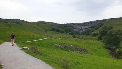
Starting and finishing in Skipton, this loop heads out into the Craven countryside towards Sharp Haw, a small but distinctly shaped hill on the southern fringe of the Yorkshire Dales. At 13.9km with 180m of ascent, the climbing comes in one concentrated effort rather than being spread evenly across the route, and Sharp Haw's steep sides mean the last stretch to the summit is noticeably harder than anything that comes before it.
The summit
Sharp Haw tops out at 357m, a height that undersells how prominent the hill looks from the surrounding farmland - its steep, conical shape stands out on the skyline long before you reach the base of the climb. The trig point at the top gives a clear view back over Skipton and out across Craven, and on a good day you can pick out the southern Dales hills beyond. The paths here are well established, so navigation stays straightforward even when the cloud is down, though the final pull to the summit is steep enough to feel in your legs.
Getting there
Skipton is the obvious base for this one - the town has a railway station served by regular bus routes (12, 13, 72, 75 and 280 among others), plenty of parking, and a full range of cafes and pubs for before or after. The Saturday-only DalesBus 59 also runs through, useful if you're combining this with other routes in the area.
Why it works
This route works as a reliable midweek loop when you want a proper hill without a long drive to reach it - Skipton's transport links mean you can run it without a car, and the concentrated climb at Sharp Haw gives you something to push against rather than a flat slog. It's also a good introduction to the southern Dales for runners based in Skipton who haven't ventured much beyond the canal.
The final approach to the summit is steep and can be slippery underfoot after rain; the top is exposed to wind with no shelter.
Summits on this route


Safety on this route
- No signal? Text 999 — pre-register first: text register to 999
- Tell someone your route and expected return time before you head out
Common questions
More routes in Yorkshire Dales
 HARD
HARD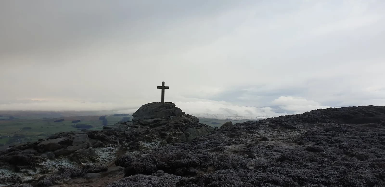 HARD
HARD EASY
EASY