Skip to content

Trail running routes in Yorkshire Dales

Limestone pavements, green lanes and open moor: the Yorkshire Dales is some of England's most runnable trail country, from gentle valley loops to the full Three Peaks.

70
Routes
23.4km
Avg distance
44,059m
Total ascent

Areas

Start from a town

Our picks: Best trail runs in the Yorkshire Dales

Which route should I choose?

70 routes in Yorkshire Dales, from 6.3 km to 97.9 km. If it is your first time here, start with the easy group below. Every route has a free GPX file, a TRP grade and a note on parking and transport.

Checked: 67 run by TRP, 3 checked against the GPX file only. Each route page says which.

First trail run here

Low effort, easy ground, shortest first.

Under 10 km

An hour or so, whatever your pace.

A long day out

Over 25 km. Take food, take a map.

Firm underfoot in wet weather

Lowest mud rating in the region.

By train or bus

Starts you can reach without a car.

Compare all 70 routes in one table
RouteDistanceClimbGradeGroundGetting there
Skipton Moor from Skipton6.3 km254 mModeratemoorlandBus or train
Victoria Cave and Attermire Scar6.6 km276 mHardfellBus or train
Grimwith Reservoir6.8 km76 mEasypath
Skipton Aireville Park and Woods6.8 km55 mEasypathBus or train
Malham Cove, Gordale Scar and Janets Foss from Malham7.8 km172 mModeratepathDrive, parking listed
Middleton Woods and Nesfield from Ilkley7.8 km113 mModeratewoodlandBus or train
Beamsley Beacon from Addingham8.0 km306 mModeratemoorlandBus or train
Grass Wood from Grassington8.1 km181 mModeratewoodlandBus or train
Litton and Halton Gill8.3 km43 mModeratepathBus or train
Skipton Canal and Stirton8.3 km67 mEasypathBus or train
Easy Malham Loop8.6 km143 mHardpathDrive, parking listed
Barden Moor Short Loop9.4 km224 mModeratemoorlandDrive, parking listed
Pen-y-ghent from Horton-in-Ribblesdale9.5 km459 mHardfellBus or train
Settle, Stainforth and the Waterfalls9.8 km144 mModeratepathBus or train
Skipton Moor, Cawder Lane and the Canal9.8 km267 mModeratemixedBus or train
Barden Moor from Embsay Reservoir (Short)10.1 km335 mModeratemoorlandBus or train
Hawes to Hardraw Force via The Green Dragon Pub10.3 km130 mModeratefarm trackDrive, parking listed
Aysgarth Falls and Bolton Castle Loop10.4 km151 mModeratepathDrive, parking listed
Muker, Thwaite and Keld10.8 km169 mModeratepathDrive, parking listed
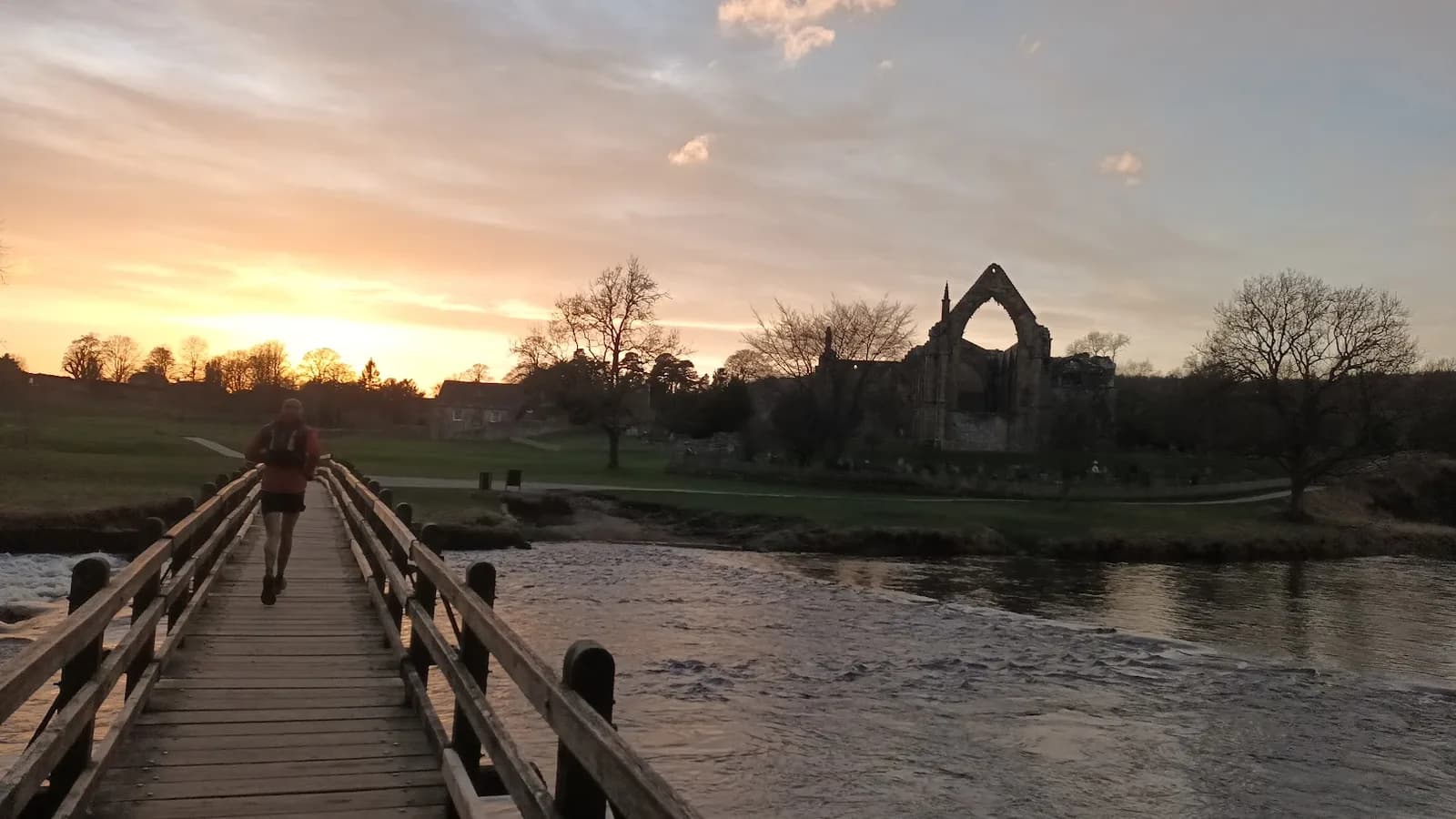
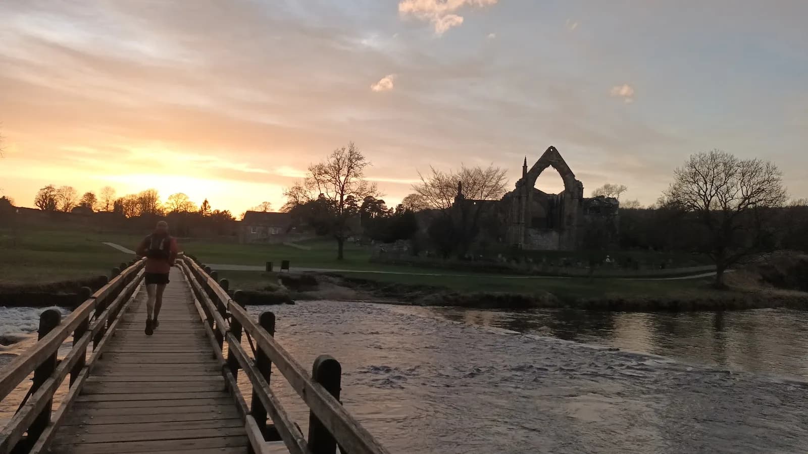
Bolton Abbey Loop10.9 km98 mModeratepathBus or train
Skipton Moor to Bradley and Canal Back11.2 km255 mModeratemoorlandBus or train
Skipton Woods and Canal11.5 km111 mModeratewoodlandBus or train
Embsay Crag from Skipton11.6 km304 mModeratemoorlandBus or train
Whernside from Ribblehead13.1 km457 mHardfellBus or train
Burnsall and Appletreewick13.6 km275 mModeratepathBus or train
Sharp Haw from Skipton13.9 km323 mModeratefellBus or train
Settle Loop14.3 km335 mModeratepathBus or train
Ingleborough and Little Ingleborough from Ingleton14.8 km645 mHardfellBus or train
Settle Limestone Loop15.2 km328 mModeratepathBus or train
Ingleborough from Chapel-le-Dale15.6 km611 mHardfellDrive, parking listed
Fremington Edge and Calver Hill from Reeth15.8 km571 mHardmoorlandBus or train
Grassington Moor and Hebden Circular16.5 km354 mModeratemoorlandBus or train
Malham Cove and Malham Tarn16.5 km411 mHardpathDrive, parking listed
Penhill from West Witton16.5 km433 mHardfellBus or train
Clapham and the Ingleborough Estate16.9 km259 mModeratepathBus or train
Sulber Gate from Clapham16.9 km314 mModeratepathBus or train
The Calf via Cautley Spout17.4 km1,053 mVery HardfellDrive, parking listed
Skipton to Malham via Canal and Pennine Way17.7 km189 mModeratepathDrive, parking listed
Skipton Moor and Farnhill Pinnacle18.1 km409 mHardmoorlandBus or train
Barden Moor from Embsay Reservoir18.3 km519 mHardmoorlandBus or train
Beamsley Beacon and Lippersley Pike from Ilkley18.7 km483 mHardmoorlandBus or train
Barden Moor Long Loop18.9 km400 mHardmoorlandDrive, parking listed
Buckden Pike from Buckden19.1 km580 mHardfellDrive, parking listed
Horse Head and Cosh from Halton Gill21.9 km547 mHardmoorlandDrive, parking listed
Simon's Seat from Bolton Abbey21.9 km534 mHardmoorlandBus or train
Wild Boar Fell, Swarth Fell and Swarth Fell Pike from Mallerstang22.7 km708 mHardfellBus or train
Burnsall Half from the Wharfe23.0 km484 mHardpathBus or train
Welcome to Skipton23.6 km618 mHardmoorlandBus or train
Whernside and Ingleborough from Ribblehead23.8 km1,000 mVery HardfellBus or train
Kilnsey and Mastiles Lane24.0 km541 mHardmoorlandBus or train
Buckden Pike & Great Whernside from Kettlewell24.5 km1,057 mVery HardfellDrive, parking listed
Fountains Fell and Arncliffe from Malham Tarn28.1 km612 mHardmoorlandDrive, parking listed
Skipton Moor, Bolton Abbey and Barden Moor28.3 km714 mHardmoorlandBus or train
Skipton Explorer28.5 km644 mHardpathBus or train
Skipton to Pinhaw Beacon and Back via Pennine Way and Canal28.6 km444 mHardmixedBus or train
Malham Tarn to Langcliffe Scar30.9 km626 mHardmoorlandDrive, parking listed
Fountains Fell and Pen-y-ghent from Horton-in-Ribblesdale33.4 km994 mVery HardfellBus or train
Wharfedale Three Peaks35.2 km1,129 mVery HardmoorlandBus or train
Fountains Fell and Pen-y-ghent from Settle36.8 km966 mVery HardfellBus or train
Yorkshire Three Peaks Circuit41.5 km1,505 mExpertfellBus or train
Skipton 6 Peaks42.0 km1,251 mVery HardmoorlandBus or train
Yorkshire Three Peaks Extended 43.2 km1,531 mExpertfellBus or train
Kettlewell Ultra43.7 km1,707 mExpertfellBus or train
Fountains Fell and Pen-y-ghent from Malham50.0 km1,701 mExpertmoorlandDrive, parking listed
Yorkshire Trod 50k52.5 km1,189 mVery HardmoorlandBus or train
Simons Seat Blast54.9 km1,603 mExpertfellBus or train
Grimwith Blast56.2 km1,503 mExpertpathBus or train
Fountains Fell, Pen-y-ghent, Malham and Pennine Way from Skipton87.0 km2,081 mExpertmoorlandBus or train
Skipton Round96.5 km2,428 mExpertmoorlandBus or train
Ultra Tour Yorkshire Dales 100k97.9 km2,660 mExpertmoorlandBus or train
Sort:

70 routes

Aysgarth Falls and Bolton Castle LoopMODERATE
Aysgarth Falls and Bolton Castle Loop
10.4km · 151m climb · Loop
Two proper Yorkshire landmarks in one short morning out - tumbling waterfalls and a 700 year old castle - for less climbing than your local parkrun.
Good for beginnersDog friendly
Checked Jul 2026
Barden Moor from Embsay ReservoirHARD
Barden Moor from Embsay Reservoir
18.3km · 519m climb · Loop
Big moorland miles and some really nice fast and flowing trails. Covers proper ground without the serious climbing of the Dales fells.
No car needed
Checked Jul 20262 ran this
Barden Moor from Embsay Reservoir (Short)MODERATE
Barden Moor from Embsay Reservoir (Short)
10.1km · 335m climb · Loop
Open moor with big skies and a reservoir to frame the start. Compact enough for a summer evening run — good tracks throughout.
No car needed
Checked Jun 2026
Barden Moor Long LoopHARD
Barden Moor Long Loop
18.9km · 400m climb · Loop
This loop crosses genuine open moorland with long sightlines over Wharfedale, on access land that's free to roam off the main tracks if you want to vary your line.
Checked Jun 20261 ran this
Barden Moor Short LoopMODERATE
Barden Moor Short Loop
9.4km · 224m climb · Loop
Half the distance of the long loop but the same open moorland character - a good way to get a feel for Barden Moor without committing to a half-day out.
Checked Jun 2026
Beamsley Beacon and Lippersley Pike from IlkleyHARD
Beamsley Beacon and Lippersley Pike from Ilkley
18.7km · 483m climb · Loop
Two moors and three tops for 514m of climb, starting a few minutes from a station platform. Beamsley Beacon is the last hill of the Yorkshire Dales and the view south from it takes in the whole of Wharfedale with Rombalds Moor filling the far side.
No car neededDog friendly
Beamsley Beacon from AddinghamMODERATE
Beamsley Beacon from Addingham
8.0km · 306m climb · Point to point
The summit carries Bronze Age burial cairns and the wreckage site of a WWII aircraft just south of the trig point - a hill with more history packed into one top than its modest height suggests.
No car neededDog friendly
Checked Jun 2026
Bolton Abbey LoopMODERATE
Bolton Abbey Loop
10.9km · 98m climb · Loop
Priory ruins, limestone riverside, and the Strid - one of the most dramatic river narrows in England. This is Wharfedale at its most photogenic.
Good for beginnersNo car needed
1 ran this
Buckden Pike & Great Whernside from KettlewellVERY HARD
Buckden Pike & Great Whernside from Kettlewell
24.5km · 1,057m climb · Loop
A direct climb out of the valley earns you a wide plateau with views stretching from the Three Peaks to the North Yorkshire Moors.
Checked Jul 2026
Buckden Pike from BuckdenHARD
Buckden Pike from Buckden
19.1km · 580m climb · Loop
A steep climb rewards you with one of the best viewpoints in the southern Dales — Wharfedale laid out below in both directions.
Checked Jul 2026
Burnsall and AppletreewickMODERATE
Burnsall and Appletreewick
13.6km · 275m climb · Loop
One of the more relaxed runs in the Dales — gentle underfoot, easy navigation, and two good pubs along the way. The Wharfe is at its limestone best through here.
No car neededDog friendly
Checked Jun 20261 ran this
Burnsall Half from the WharfeHARD
Burnsall Half from the Wharfe
23.0km · 484m climb · Loop
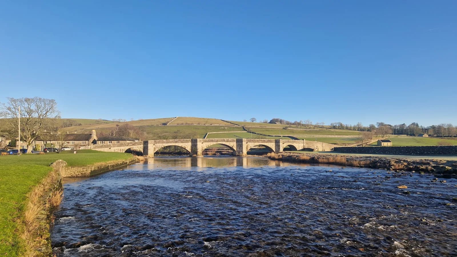
You get one of the prettiest stretches of the River Wharfe, the stepping stones and the hump-backed bridge at Burnsall, wrapped into a proper dale circuit rather than a quick there-and-back.
No car neededDog friendly
Checked Jul 20261 ran this
Clapham and the Ingleborough EstateMODERATE
Clapham and the Ingleborough Estate
16.9km · 259m climb · Loop
You get the full Ingleborough approach, the show cave, the dark cleft of Trow Gill and the perched boulders at Norber, without committing to the summit itself.
No car neededDog friendly
Checked Jul 2026
Easy Malham LoopHARD
Easy Malham Loop
8.6km · 143m climb · Loop
Two of the Dales' most famous limestone features on one short, almost flat loop, perfect for an easy day or a first taste of trail running in Malhamdale.
Dog friendly
Checked Jul 20261 ran this
Embsay Crag from SkiptonMODERATE
Embsay Crag from Skipton
11.6km · 304m climb · Loop
Embsay Crag is one of those gritstone edges that looks ordinary on the map and delivers something much better in person - proper moor underfoot and a long view across the Dales skyline.
No car needed
Checked Jun 20261 ran this
Fountains Fell and Arncliffe from Malham TarnHARD
Fountains Fell and Arncliffe from Malham Tarn
28.1km · 612m climb · Loop
The classic Malham scenery gives way to wide open fell country and a summit that feels properly remote despite being only 8km from the village.
Checked Jul 2026
Fountains Fell and Pen-y-ghent from Horton-in-RibblesdaleVERY HARD
Fountains Fell and Pen-y-ghent from Horton-in-Ribblesdale
33.4km · 994m climb · Loop
Two contrasting Dales summits in one long loop, with the lonely moorland of Fountains Fell giving way to the unmistakable stepped profile of Pen-y-ghent.
No car neededDog friendly
Checked Jul 2026
Fountains Fell and Pen-y-ghent from MalhamEXPERT
Fountains Fell and Pen-y-ghent from Malham
50.0km · 1,701m climb · Loop
A full 50km day that strings together the cove, the tarn and two major summits, a serious long-distance challenge through the heart of the Dales.
Dog friendly
Checked Jul 2026
Fountains Fell and Pen-y-ghent from SettleVERY HARD
Fountains Fell and Pen-y-ghent from Settle
36.8km · 966m climb · Loop
Town-to-summit running at its best, starting from Settle's cobbles and reaching the wild tops of Fountains Fell and Pen-y-ghent before the long loop home.
No car neededDog friendly
Checked Jul 2026
EXPERT
Fountains Fell, Pen-y-ghent, Malham and Pennine Way from Skipton
87.0km · 2,081m climb · Loop
You string together the greatest hits of the southern Dales in one enormous loop: Gordale Scar, the summit of Pen-y-ghent, Fountains Fell and Malham Tarn, all on foot from Skipton.
No car needed
Checked Jul 2026
HARD
Fremington Edge and Calver Hill from Reeth
15.8km · 571m climb · Loop
Two dales for the price of one. You run the whole 2.5km of Fremington Edge with Swaledale below you, then finish over Calver Hill, which has the best 360-degree view in the district for very little extra effort.
No car neededDog friendly
Grass Wood from GrassingtonMODERATE
Grass Wood from Grassington
8.1km · 181m climb · Loop
You get ancient ash woodland alive with birdsong and a return along one of the loveliest stretches of the River Wharfe, all from the doorstep of Grassington.
No car neededDog friendly
Checked Jul 2026
Grassington Moor and Hebden CircularMODERATE
Grassington Moor and Hebden Circular
16.5km · 354m climb · Loop
The moor above Grassington has layers — wildflowers, curlews, and the eerie ruins of 18th-century lead mines that made this one of England's most productive mining landscapes.
No car needed
Checked Jul 2026
Grimwith BlastEXPERT
Grimwith Blast
56.2km · 1,503m climb · Loop
It links a big day in Wharfedale with the wide-open water and skies around Grimwith, so you get valley running, moorland crossings and a proper reservoir circuit all in one loop without needing a second car.
No car neededDog friendly
Checked Jul 2026
Grimwith ReservoirEASY
Grimwith Reservoir
6.8km · 76m climb · Loop
A rare thing in the Dales: a route you can hold an even pace on from start to finish. The circuit is 100% runnable and there is only 31m between its lowest and highest point.
Good for beginners
Checked Jul 2026
Hawes to Hardraw Force via The Green Dragon PubMODERATE
Hawes to Hardraw Force via The Green Dragon Pub
10.3km · 130m climb · Loop
An easy riverside loop to Hardraw Force and back past Wensleydale Creamery — a gentle one to blow off the cobwebs before pie and a pint back in Hawes.
Dog friendly
Checked Jun 2026
HARD
Horse Head and Cosh from Halton Gill
21.9km · 547m climb · Loop
The Horse Head Pass links Littondale and Langstrothdale on a route that barely anyone runs, so you get proper Dales solitude on ground that's been used as a working crossing for centuries.
Dog friendly
Ingleborough and Little Ingleborough from IngletonHARD
Ingleborough and Little Ingleborough from Ingleton
14.8km · 645m climb · Loop
The quieter western approach to Ingleborough, building over Little Ingleborough to the iconic plateau summit at 724m before the long descent back to Ingleton.
No car neededDog friendly
Checked Jul 2026
Ingleborough from Chapel-le-DaleHARD
Ingleborough from Chapel-le-Dale
15.6km · 611m climb · Loop
Vast plateau views on a clear day stretch from the Lake District to the Pennines, with the descent through classic limestone karst.
Checked Jul 2026
Kettlewell UltraEXPERT
Kettlewell Ultra
43.7km · 1,707m climb · Loop
Proper Dales miles — limestone scars, wide skies, and the kind of distance that sorts out who's eaten their breakfast. This is a full day out.
No car neededDog friendly
Checked Jun 2026
HARD
Kilnsey and Mastiles Lane
24.0km · 541m climb · Loop
You run the length of Mastiles Lane, an arrow-straight Roman road across Malham Moor, with the great overhang of Kilnsey Crag as the landmark at the valley end.
No car neededDog friendly
Checked Jul 2026
Litton and Halton GillMODERATE
Litton and Halton Gill
8.3km · 43m climb · Loop
Littondale is one of the hidden valleys of the Dales, all drystone walls, tiny hamlets and empty fells, and this loop gives you its prettiest upper stretch with barely another soul about.
No car neededDog friendly
Checked Sept 20261 ran this
Malham Cove and Malham TarnHARD
Malham Cove and Malham Tarn
16.5km · 411m climb · Loop
The classic Malham circuit, joining the cove, its dramatic limestone pavement and the glittering tarn into one flowing mid-distance loop.
Dog friendly
Checked Jul 2026
Malham Cove, Gordale Scar and Janets Foss from MalhamMODERATE
Malham Cove, Gordale Scar and Janets Foss from Malham
7.8km · 172m climb · Loop
Three of England's most dramatic limestone features in one run — with a scramble through Gordale Scar that makes most runners grin.
Checked Jul 2026
HARD
Malham Tarn to Langcliffe Scar
30.9km · 626m climb · Loop
You run from Malham Tarn out across the high limestone to Langcliffe Scar, joining the two greatest pieces of Dales limestone in one loop.
Dog friendly
Checked Jul 2026
Middleton Woods and Nesfield from IlkleyMODERATE
Middleton Woods and Nesfield from Ilkley
7.8km · 113m climb · Loop
Middleton Woods is the largest ancient woodland left in West Yorkshire, and for about two weeks around late April the whole floor turns blue. Run it then and you will not miss having a summit.
No car neededDog friendly
MODERATE
Muker, Thwaite and Keld
10.8km · 169m climb · Loop
You circle Kisdon Hill through the three prettiest villages in Swaledale, past the hidden Kisdon Force and through the famous hay meadows that turn the valley yellow in June.
Dog friendly
Pen-y-ghent from Horton-in-RibblesdaleHARD
Pen-y-ghent from Horton-in-Ribblesdale
9.5km · 459m climb · Loop
A short, punchy mountain loop with a hands-on rocky step near the top, the most accessible of the Yorkshire Three Peaks summits.
No car neededDog friendly
Checked Jul 2026
HARD
Penhill from West Witton
16.5km · 433m climb · Loop
Penhill looks like a proper mountain from the valley and delivers on the promise — the views over Wensleydale to Bishopdale and Coverdale are among the best in the Dales.
No car needed
Checked Jul 2026
MODERATE
Settle Limestone Loop
15.2km · 328m climb · Loop
You get a proper sampler of Ribblesdale from one town: limestone scars and green pasture on the tops, the River Ribble in the valley, and Settle's cafes waiting at the end.
No car neededDog friendly
Checked Jul 2026
Settle LoopMODERATE
Settle Loop
14.3km · 335m climb · Loop
Classic Dales limestone running — pavements, green lanes, and big views for modest effort. Settle is one of the best trail running towns in the Dales.
No car neededDog friendly
Checked Jun 2026
MODERATE
Settle, Stainforth and the Waterfalls
9.8km · 144m climb · Loop
You link two very different waterfalls in one short loop: broad Stainforth Force, where salmon leap in autumn, and Catrigg Force, hidden in a deep wooded ravine you would run straight past without the sign.
No car neededDog friendly
Sharp Haw from SkiptonMODERATE
Sharp Haw from Skipton
13.9km · 323m climb · Loop
Sharp Haw looks unremarkable from a distance and then turns into a proper short, steep pull right at the end - a disproportionate amount of summit feeling for a hill this size.
No car neededDog friendly
Checked Jun 2026
Simon's Seat from Bolton AbbeyHARD
Simon's Seat from Bolton Abbey
21.9km · 534m climb · Loop
Woodland, waterfall, open moorland, and a gritstone tor — this route packs an unusual amount of variety into one 21.9km day out.
No car needed
Checked Jul 2026
Simons Seat BlastEXPERT
Simons Seat Blast
54.9km · 1,603m climb · Loop
Simon's Seat is one of Wharfedale's best short climbs on its own, and this route turns the trip up to it into the centrepiece of a full ultra distance day rather than an afternoon out.
No car needed
Checked Jul 2026
Skipton 6 PeaksVERY HARD
Skipton 6 Peaks
42.0km · 1,251m climb · Loop
Six distinct summits in one big day, a proper local challenge that strings together the gritstone crags and moors ringing Skipton.
No car needed
Checked Jul 2026Good1 ran this
Skipton Aireville Park and WoodsEASY
Skipton Aireville Park and Woods
6.8km · 55m climb · Loop
If you've got an hour and you're in Skipton, this is the run. Park, woodland, canal towpath. Nothing complicated, nothing slow, good underfoot all year.
Good for beginnersNo car needed
Checked Jun 2026Good · 16d ago1 ran this
Skipton Canal and StirtonEASY
Skipton Canal and Stirton
8.3km · 67m climb · Loop
Canal towpath running at its most accessible - flat, surfaced, and direct. Stirton sits quietly 2km south of Skipton and gives the route a reason to go beyond the park.
Good for beginnersNo car needed
Checked Jun 20261 ran this
Skipton ExplorerHARD
Skipton Explorer
28.5km · 644m climb · Loop
It's the route to reach for when you want proper distance without a mountain attached, running out through genuinely pretty Dales-edge countryside that most visitors drive straight past on their way to the bigger fells.
No car neededDog friendly
Checked Jul 2026
Skipton Moor and Farnhill PinnacleHARD
Skipton Moor and Farnhill Pinnacle
18.1km · 409m climb · Loop
More rewarding than it looks from the map. Skipton Moor has a real open-sky feel, and Farnhill Pinnacle is a genuinely odd and photogenic landmark.
No car neededDog friendly
Checked Jun 20261 ran this
Skipton Moor from SkiptonMODERATE
Skipton Moor from Skipton
6.3km · 254m climb · Out & back
Twenty minutes from the station and you're on open moorland with a proper climb under your belt. This is the shortest and sharpest of the Skipton moor routes.
No car neededDog friendly
Checked Jun 2026
Skipton Moor to Bradley and Canal BackMODERATE
Skipton Moor to Bradley and Canal Back
11.2km · 255m climb · Loop
Three distinct sections in one run: moor, village, canal. This is the most satisfying of the Skipton circuits - proper climbing followed by a flat, fast return.
No car neededDog friendly
Checked Jun 2026Good · 14d ago2 ran this
Skipton Moor, Bolton Abbey and Barden MoorHARD
Skipton Moor, Bolton Abbey and Barden Moor
28.3km · 714m climb · Loop
A proper long day stitching together terrain most runners split into two separate outings. Bolton Abbey woods make a welcome change of scene at the halfway mark.
No car needed
Checked Jun 2026
Skipton Moor, Cawder Lane and the CanalMODERATE
Skipton Moor, Cawder Lane and the Canal
9.8km · 267m climb · Point to point
Two different surfaces in one short route - open moor underfoot for the climb, then a flat, easy canal towpath to bring you home.
No car neededDog friendly
Checked Jun 2026
EXPERT
Skipton Round
96.5km · 2,428m climb · Loop
You circle Skipton on a huge loop through the quieter country of Craven, linking moor edge, riverside and old field paths that most runners pass through but never string together.
No car needed
1 ran this
Skipton to Malham via Canal and Pennine WayMODERATE
Skipton to Malham via Canal and Pennine Way
17.7km · 189m climb · Point to point
You start on a flat canal towpath and finish in Malhamdale, with the Pennine Way's National Trail waymarking doing the navigation for you almost the entire way.
Dog friendly
Checked Jun 2026
Skipton to Pinhaw Beacon and Back via Pennine Way and CanalHARD
Skipton to Pinhaw Beacon and Back via Pennine Way and Canal
28.6km · 444m climb · Loop
Pinhaw Beacon is the high point of the Pennine Way's opening stretch out of Edale, and this route takes you up to it and back without needing to commit to the rest of the trail.
No car neededDog friendly
Checked Jun 2026
Skipton Woods and CanalMODERATE
Skipton Woods and Canal
11.5km · 111m climb · Loop
Castle woods on the way out, canal on the way back. Skipton has better trail running on its doorstep than most people realise, and this circuit shows it.
Good for beginnersNo car needed
Checked Jun 20261 ran this
MODERATE
Sulber Gate from Clapham
16.9km · 314m climb · Loop
You get a taste of the Three Peaks landscape - limestone pavement, wide moorland views, Ingleborough looming ahead - without committing to the full challenge or its usual crowds.
No car neededDog friendly
VERY HARD
The Calf via Cautley Spout
17.4km · 1,053m climb · Loop
The Howgills feel unlike anywhere else in the Dales — smooth rounded ridges, no walls, no paths to speak of — just open fell running at its best.
Checked Jul 2026
EXPERT
Ultra Tour Yorkshire Dales 100k
97.9km · 2,660m climb · Loop
This is the full southern Dales in one enormous self-navigated loop: Malham Tarn, the summit of Buckden Pike, Trollers Gill, Simon's Seat and a string of the prettiest villages in the country.
Fell runNo car needed
HARD
Victoria Cave and Attermire Scar
6.6km · 276m climb · Loop
You climb straight to Victoria Cave, a huge fault-line cavern that gave up bones of ancient hippo and bear, set in the theatrical limestone cliffs of Attermire Scar.
No car neededDog friendly
Welcome to SkiptonHARD
Welcome to Skipton
23.6km · 618m climb · Loop
The full Skipton picture in one run: moor above, canal below, and the Craven countryside in between. A proper long day out from one of the best trail running towns in the Dales.
No car neededDog friendly
Checked Jun 2026
Wharfedale Three PeaksVERY HARD
Wharfedale Three Peaks
35.2km · 1,129m climb · Loop
Three big Wharfedale summits with none of the crowds or paved paths, just rough moorland, bog and proper navigation across the roof of the dale.
No car neededDog friendly
Checked Jul 2026
VERY HARD
Whernside and Ingleborough from Ribblehead
23.8km · 1,000m climb · Loop
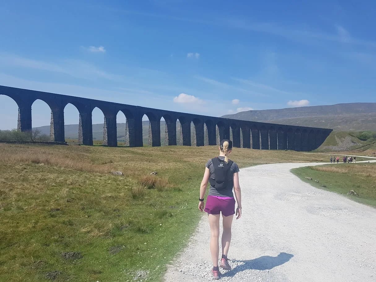
Two of the Three Peaks in one shapely loop, beginning and ending at the iconic Ribblehead Viaduct with a railway cafe waiting at the finish.
No car neededDog friendly
HARD
Whernside from Ribblehead
13.1km · 457m climb · Loop
The most efficient way to bag the highest of the Three Peaks, a compact loop with a superb ridge and the Ribblehead Viaduct bookending the run.
No car neededDog friendly
HARD
Wild Boar Fell, Swarth Fell and Swarth Fell Pike from Mallerstang
22.7km · 708m climb · Loop
Three summits joined by a single ridge, a ruined castle at the start, and some of the emptiest fell running anywhere in the Yorkshire Dales boundary.
No car neededDog friendly
Yorkshire Three Peaks CircuitEXPERT
Yorkshire Three Peaks Circuit
41.5km · 1,505m climb · Loop
Three summits, 1,505m of ascent, and a finish back in Horton means that you have definitely earned a drink.
No car needed
Checked Jun 2026
Yorkshire Three Peaks Extended EXPERT
Yorkshire Three Peaks Extended
43.2km · 1,531m climb · Loop
A big day out on the most recognisable skyline in the Dales — three distinct summits, 1500m of climbing, and a finish that earns its beer.
No car neededDog friendly
Checked Jun 2026
Yorkshire Trod 50kVERY HARD
Yorkshire Trod 50k
52.5km · 1,189m climb · Loop
It strings together several of the Dales' individually famous valleys into a single day, so instead of picking one dale to explore you cross through four or five of them back to back.
No car needed
Checked Jul 2026

Races in Yorkshire Dales

All Yorkshire Dales races

The next races starting in Yorkshire Dales, with runner reviews and what people wore where we have them. Train on the routes above.

About running in Yorkshire Dales

Limestone pavements, green lanes and open moor: the Yorkshire Dales is some of England's most runnable trail country, from gentle valley loops to the full Three Peaks.

You'll find everything here from a 10.4km waterfall-and-castle loop at Aysgarth to the 41km Yorkshire Three Peaks. Limestone runs fast and grippy when it's dry; the gritstone moor tops hold water and stay boggy long after rain. Settle, Malham, Skipton, Kettlewell and Hawes all make good bases, and several sit on a railway line so you can leave the car at home. Every route has a free GPX download and an honest TRP Grade.

Safety reminder

In an emergency call 999 or 112 — ask for Police then Mountain Rescue.

No signal? Pre-register emergency SMS: text register to 999.

Safety guides →

Common questions

There are 70 trail running routes in Yorkshire Dales on Trail Running Planet, covering 12 areas. All routes include free GPX downloads and honest grading.