Trail running in Malhamdale
8
routes
Which route should I choose?
8 routes in Malhamdale, from 7.8 km to 87.0 km. If it is your first time here, start with the easy group below. Every route has a free GPX file, a TRP grade and a note on parking and transport.
Checked: 8 run by TRP. Each route page says which.
First trail run here
Low effort, easy ground, shortest first.
- Malham Cove, Gordale Scar and Janets Foss from Malham · 7.8 km · 172 m · Moderate
- Skipton to Malham via Canal and Pennine Way · 17.7 km · 189 m · Moderate
Under 10 km
An hour or so, whatever your pace.
- Malham Cove, Gordale Scar and Janets Foss from Malham · 7.8 km · 172 m · Moderate
- Easy Malham Loop · 8.6 km · 143 m · Hard
A long day out
Over 25 km. Take food, take a map.
- Fountains Fell, Pen-y-ghent, Malham and Pennine Way from Skipton · 87.0 km · 2,081 m · Expert
- Fountains Fell and Pen-y-ghent from Malham · 50.0 km · 1,701 m · Expert
- Malham Tarn to Langcliffe Scar · 30.9 km · 626 m · Hard
- Fountains Fell and Arncliffe from Malham Tarn · 28.1 km · 612 m · Hard
Firm underfoot in wet weather
Lowest mud rating in the region.
- Malham Cove, Gordale Scar and Janets Foss from Malham · 7.8 km · 172 m · Moderate
- Easy Malham Loop · 8.6 km · 143 m · Hard
- Malham Cove and Malham Tarn · 16.5 km · 411 m · Hard
- Skipton to Malham via Canal and Pennine Way · 17.7 km · 189 m · Moderate
Compare all 8 routes in one table
| Route | Distance | Climb | Grade | Ground | Getting there |
|---|---|---|---|---|---|
| Malham Cove, Gordale Scar and Janets Foss from Malham | 7.8 km | 172 m | Moderate | path | Drive, parking listed |
| Easy Malham Loop | 8.6 km | 143 m | Hard | path | Drive, parking listed |
| Malham Cove and Malham Tarn | 16.5 km | 411 m | Hard | path | Drive, parking listed |
| Skipton to Malham via Canal and Pennine Way | 17.7 km | 189 m | Moderate | path | Drive, parking listed |
| Fountains Fell and Arncliffe from Malham Tarn | 28.1 km | 612 m | Hard | moorland | Drive, parking listed |
| Malham Tarn to Langcliffe Scar | 30.9 km | 626 m | Hard | moorland | Drive, parking listed |
| Fountains Fell and Pen-y-ghent from Malham | 50.0 km | 1,701 m | Expert | moorland | Drive, parking listed |
| Fountains Fell, Pen-y-ghent, Malham and Pennine Way from Skipton | 87.0 km | 2,081 m | Expert | moorland | Bus or train |
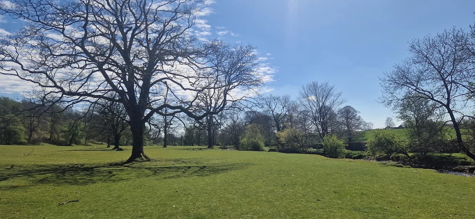 HARD
HARDEasy Malham Loop
Two of the Dales' most famous limestone features on one short, almost flat loop, perfect for an easy day or a first taste of trail running in Malhamdale.
Checked Jul 2026
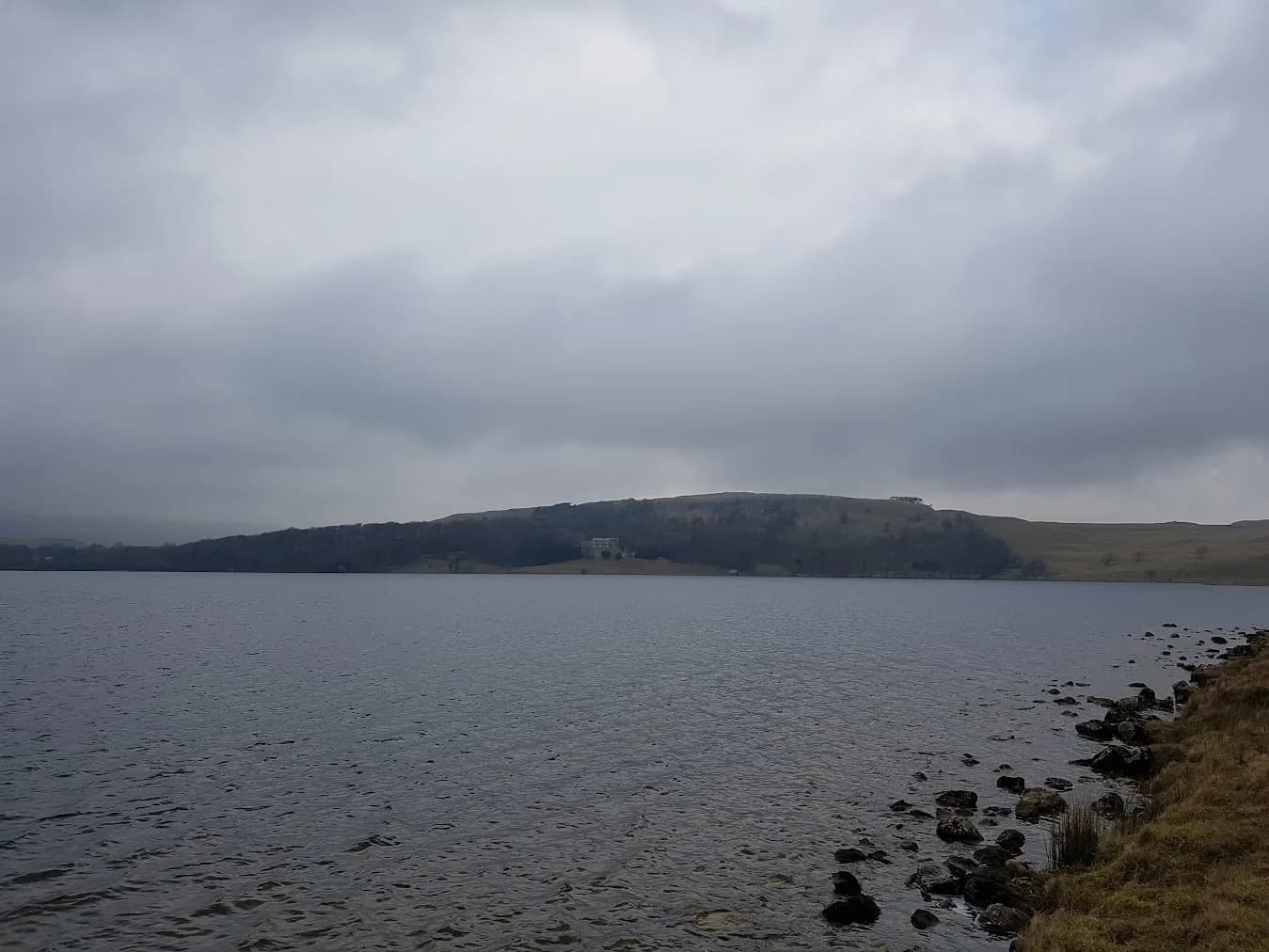 HARD
HARDFountains Fell and Arncliffe from Malham Tarn
The classic Malham scenery gives way to wide open fell country and a summit that feels properly remote despite being only 8km from the village.
Checked Jul 2026
 EXPERT
Fountains Fell and Pen-y-ghent from Malham
A full 50km day that strings together the cove, the tarn and two major summits, a serious long-distance challenge through the heart of the Dales.
Checked Jul 2026
EXPERT
Fountains Fell, Pen-y-ghent, Malham and Pennine Way from Skipton
You string together the greatest hits of the southern Dales in one enormous loop: Gordale Scar, the summit of Pen-y-ghent, Fountains Fell and Malham Tarn, all on foot from Skipton.
No car needed
Checked Jul 2026
 HARD
HARDMalham Cove and Malham Tarn
The classic Malham circuit, joining the cove, its dramatic limestone pavement and the glittering tarn into one flowing mid-distance loop.
Checked Jul 2026
 MODERATE
Malham Cove, Gordale Scar and Janets Foss from Malham
Three of England's most dramatic limestone features in one run — with a scramble through Gordale Scar that makes most runners grin.
Checked Jul 2026
HARD
Malham Tarn to Langcliffe Scar
You run from Malham Tarn out across the high limestone to Langcliffe Scar, joining the two greatest pieces of Dales limestone in one loop.
Checked Jul 2026
 MODERATE
Skipton to Malham via Canal and Pennine Way
You start on a flat canal towpath and finish in Malhamdale, with the Pennine Way's National Trail waymarking doing the navigation for you almost the entire way.
Checked Jun 2026