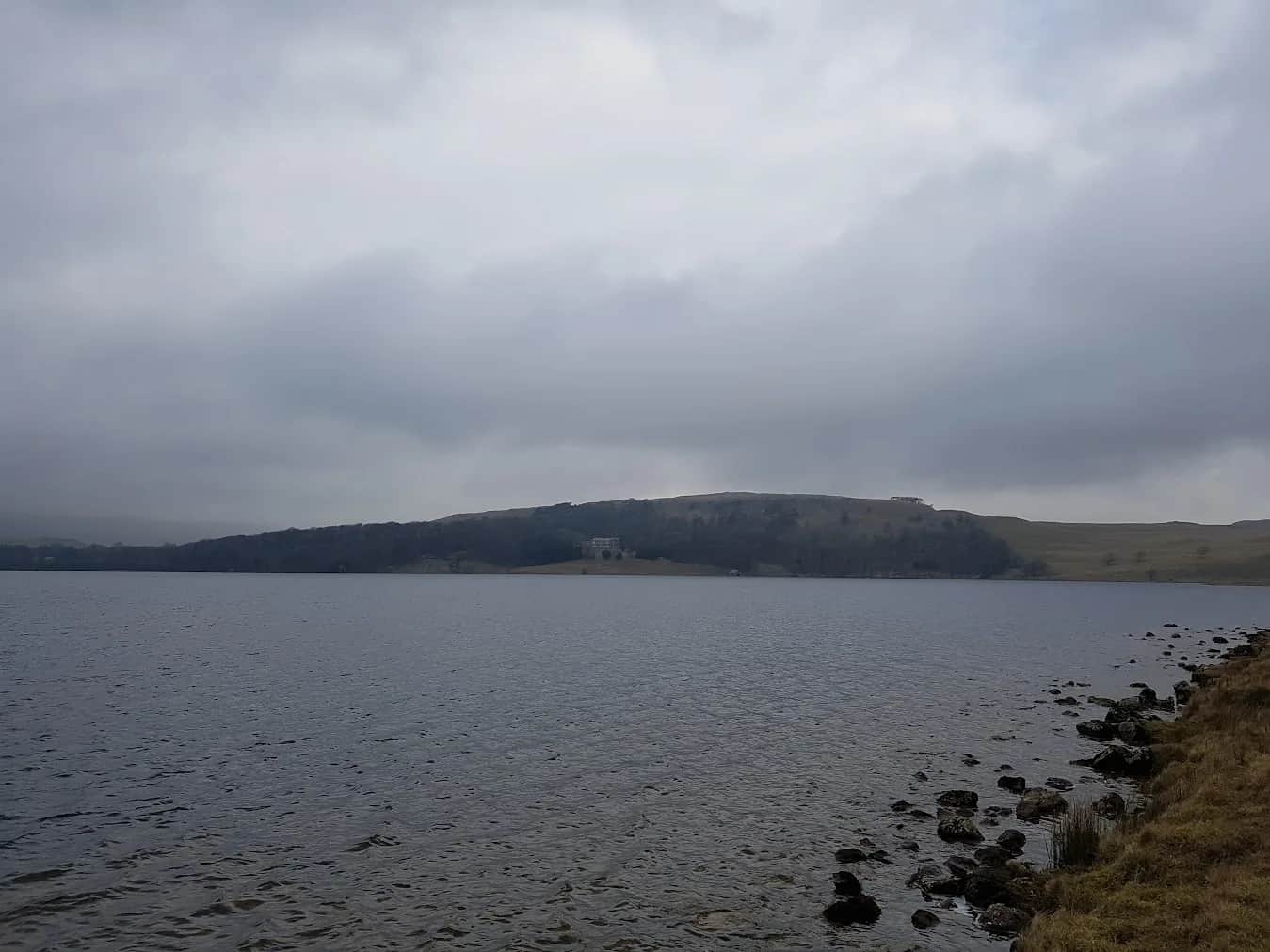
Fountains Fell and Arncliffe from Malham Tarn
The classic Malham scenery gives way to wide open fell country and a summit that feels properly remote despite being only 8km from the village.
No photos of this route yet. Sign in to add one
Mostly on runnable ground, but most runners still walk the steepest climbs.
A longer fell run from Malham Tarn onto the Pennine Way and up to Fountains Fell at 668m — an undervisited summit with big views over the southern Dales.
The classic Malham scenery gives way to wide open fell country and a summit that feels properly remote despite being only 8km from the village.
The route
From Malham Tarn, the route joins the Pennine Way heading north. Fountains Fell (668m) rises steadily from boggy moorland — the summit is marked by several cairns and the remains of old coal pits used to fuel the monks of Fountains Abbey.
The summit
The views from Fountains Fell are less dramatic than its neighbours but more expansive — a 360-degree panorama taking in Pen-y-ghent to the north, Ingleborough to the west, and the Forest of Bowland to the south-west.
The return
Over the valley to Litton and follow the river Skirfare to Arncliffe before climbing back over the valley to Malham Tarn and the finish.

Partner · affiliate policy
Boggy ground on the summit approaches after rain. Remote feel despite proximity to village.
Summits on this route
Safety on this route
- No signal? Text 999 — pre-register first: text register to 999
- Tell someone your route and expected return time before you head out
Leave No Trace
- Leave nothing but footprints, take nothing but memories.
- Please respect the countryside and all its inhabitants.
- Dogs on leads near livestock, and around ground-nesting birds from March to July.
- Gates as you find them — open or closed, leave it that way for the farmer and the next runner.
- Take it all home — wrappers, peel, tissue, the lot. It doesn't count as biodegradable if you can still see it.
- Stick to the path where the ground either side is wet, planted, or nesting habitat.
Common questions
- Most runners complete Fountains Fell and Arncliffe from Malham Tarn in 3 hours 35 minutes to 4 hours 50 minutes, depending on pace and conditions.
Run by us· last checked July 2026
Jason Millward has run this route and written it up from the ground. How we check routes
About the author
Runner reports
Nobody's logged a run here yet. If you get out on it, a few lines about how it went helps the next person plan their day.



Routes nearby
Start from a town: Settle 7.9 km · Grassington 10.9 km · Kettlewell 11.3 km · Horton-in-Ribblesdale 11.7 km
 HARD
HARD MODERATE
 EXPERT
 MODERATE
Races on this ground
All Yorkshire Dales races →Races starting within 20 km of the Fountains Fell and Arncliffe from Malham Tarn start, nearest first. If you are entered for one, this route is the rehearsal.
1
May
2027

Pennine Barrier Ultra 50
Malham, North Yorkshire · GB Ultras · 2 miles away
Fifty hard Dales miles out of Malham.
EXPERT
Entries open
4
Sept
2027

Malham Trail Races
Malham Show Field, Malham, North Yorkshire · Due North Events · 2 miles away
From the Show Field at Malham into limestone country above the cove.
HARD
Entries open
19
Jun
2027
provisional
Kettlewell (Skirfare) Trail Races
Hawkswick Cote car park field, Kettlewell, North Yorkshire · Due North Events · 5 miles away
Out of Hawkswick Cote into upper Wharfedale, with nine hundred metres of climb on the half.
HARD TO VERY HARD
Not open yet
17
Oct
2026
Ultra Tour of the Yorkshire Dales
Devonshire Institute, 48 Main Street, Grassington, North Yorkshire · Due North Events · 7 miles away
Grassington to Malham Tarn, Arncliffe and Wharfedale, with route choice between checkpoints.
VERY HARD TO EXPERT
Entries open