The Calf via Cautley Spout
The Howgills feel unlike anywhere else in the Dales — smooth rounded ridges, no walls, no paths to speak of — just open fell running at its best.
Effort: Moderate distance, manageable climb
Underfoot: Open fell or rough terrain
E2·T3 — how we grade routesThe Howgills feel unlike anywhere else in the Dales — smooth rounded ridges, no walls, no paths to speak of — just open fell running at its best.
The classic Howgill Fells circuit via Cautley Spout — England's highest above-ground waterfall — to the broad summit of The Calf at 676m.
The route
The Howgill Fells are unlike the rest of the Yorkshire Dales — smooth, grassy, rounded hills with no drystone walls and a different feel entirely. Starting from the Cross Keys at Cautley, the route climbs alongside Cautley Spout — a 200m series of cascades that is one of England's most dramatic waterfalls.
The Calf
From the top of the falls the ridge opens up and the running becomes excellent — fast grassy turf on broad ridges. The Calf at 676m is the highest point of the Howgills, with views to the Lake District, the Three Peaks, and the Eden Valley.
The descent
The return follows the ridge south before dropping back to the valley — a satisfying circular of around 13km.
Very few paths in the Howgills — navigation by map and compass essential in cloud. The fell sides are steep and grass can be slippery. No fences or walls for shelter.
Summits on this route


Safety on this route
- No signal? Text 999 — pre-register first: text register to 999
- Tell someone your route and expected return time before you head out
Common questions
More routes in Yorkshire Dales
 HARD
HARD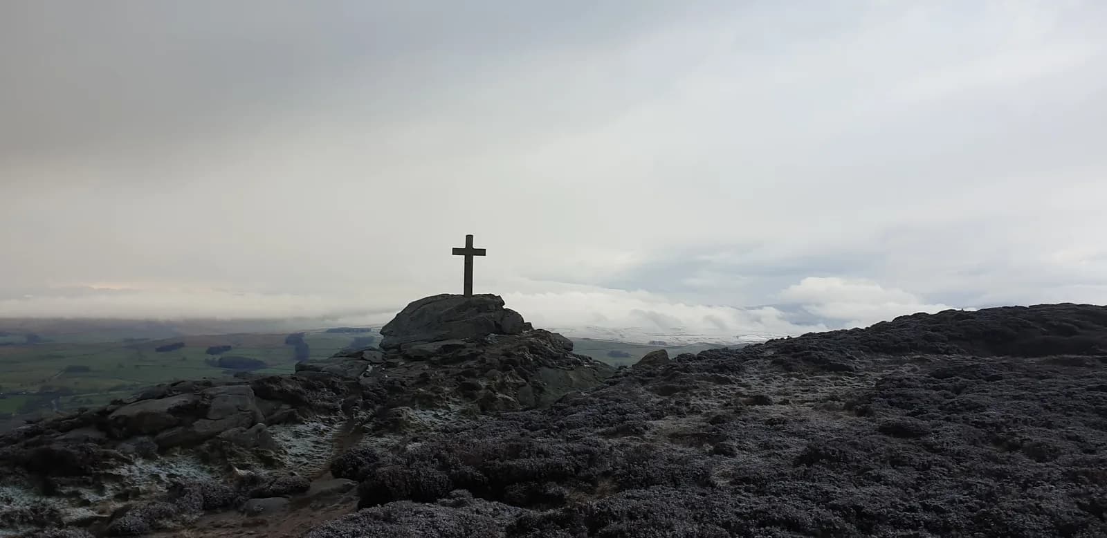 HARD
HARD MODERATE