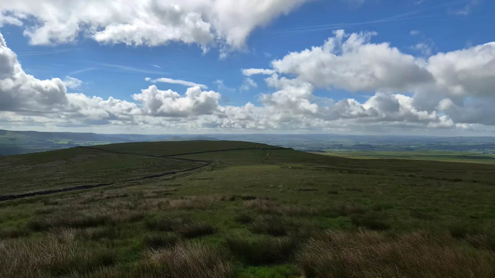
Yorkshire Trod 50k
It strings together several of the Dales' individually famous valleys into a single day, so instead of picking one dale to explore you cross through four or five of them back to back.
No photos of this route yet. Sign in to add one
Mostly on runnable ground, but most runners still walk the steepest climbs.
A 52.5km self-navigated loop from Grassington through Malham Tarn, Arncliffe, Litton, Buckden and Kettlewell, with 1,189m of climbing spread across some of the Dales' best-known dales in one continuous circuit.
It strings together several of the Dales' individually famous valleys into a single day, so instead of picking one dale to explore you cross through four or five of them back to back.
The route
This traces the 50km route of the Ultra Tour Yorkshire Dales event (formerly run as the Yorkshire Trod), starting and finishing in Grassington. From there it heads out via Threshfield to Weets Top above Malham, along the shore of Malham Tarn, then drops across the moor into Littondale at Arncliffe. The route continues through Litton, Buckden and Starbotton before following the Dales Way back down Wharfedale through Kettlewell to Grassington.
A tour of the dales
What makes this route distinctive is the sheer variety packed into one loop: limestone country around Malham Tarn, the quieter valley of Littondale, and the classic upper Wharfedale villages of Buckden, Starbotton and Kettlewell before the run back to Grassington. Few single routes cross this much genuinely different Dales terrain in one continuous line.
Self-navigation
As run in its event format, this is deliberately unmarked - no waymarking, map and compass or a loaded GPX required throughout. Even running it outside of race conditions, treat it the same way: this crosses open moorland between valleys where the path isn't always obvious, and 1,189m of climbing spread across 52.5km means fatigue will affect your navigation decisions late in the day.
Why it works as a route
Few single days in the Dales let you experience this much genuine variety - limestone country, a quiet side valley, and the classic upper Wharfedale villages - without doubling back on yourself. That makes it a strong target for anyone building toward their first proper ultra who wants scenery and terrain change to help break up the distance.
Getting it right
Food and water planning matter as much as pacing here - villages along the route offer natural resupply points, but there's nothing guaranteed to be open outside race weekends. Treat the moorland crossing near Malham Tarn and the drop into Arncliffe as the sections needing the most attention, both for navigation and for underfoot conditions after rain.

Partner · affiliate policy
Moorland crossings between the dales have no waymarking and limited landmarks in poor visibility. The distance and cumulative climbing mean fatigue-related navigation errors become more likely in the later stages.
Safety on this route
- No signal? Text 999 — pre-register first: text register to 999
- Tell someone your route and expected return time before you head out
Leave No Trace
- Leave nothing but footprints, take nothing but memories.
- Please respect the countryside and all its inhabitants.
- Dogs on leads near livestock, and around ground-nesting birds from March to July.
- Gates as you find them — open or closed, leave it that way for the farmer and the next runner.
- Take it all home — wrappers, peel, tissue, the lot. It doesn't count as biodegradable if you can still see it.
- Stick to the path where the ground either side is wet, planted, or nesting habitat.
Common questions
- Most runners complete Yorkshire Trod 50k in 6 hours 35 minutes to 8 hours 55 minutes, depending on pace and conditions.
Run by us· last checked July 2026
Jason Millward has run this route and written it up from the ground. How we check routes
About the author
Runner reports
Nobody's logged a run here yet. If you get out on it, a few lines about how it went helps the next person plan their day.



Routes nearby
Start from a town: Grassington 0.1 km · Kettlewell 8.3 km · Skipton 12 km
 MODERATE
 MODERATE
 MODERATE
 HARD
HARDRaces on this ground
All Yorkshire Dales races →Races starting within 20 km of the Yorkshire Trod 50k start, nearest first. If you are entered for one, this route is the rehearsal.
17
Oct
2026

Ultra Tour of the Yorkshire Dales
Devonshire Institute, 48 Main Street, Grassington, North Yorkshire · Due North Events · 0 miles away
Grassington to Malham Tarn, Arncliffe and Wharfedale, with route choice between checkpoints.
VERY HARD TO EXPERT
Entries open
17
Apr
2027
Burnsall Trail Races
Riverside car park field, Burnsall, North Yorkshire · Due North Events · 3 miles away
Riverside paths and stone tracks out of Burnsall, on the Dales Way.
MODERATE TO HARD
Entries open
19
Jun
2027
provisional
Kettlewell (Skirfare) Trail Races
Hawkswick Cote car park field, Kettlewell, North Yorkshire · Due North Events · 4 miles away
Out of Hawkswick Cote into upper Wharfedale, with nine hundred metres of climb on the half.
HARD TO VERY HARD
Not open yet
1
May
2027

Pennine Barrier Ultra 50
Malham, North Yorkshire · GB Ultras · 6 miles away
Fifty hard Dales miles out of Malham.
EXPERT
Entries open