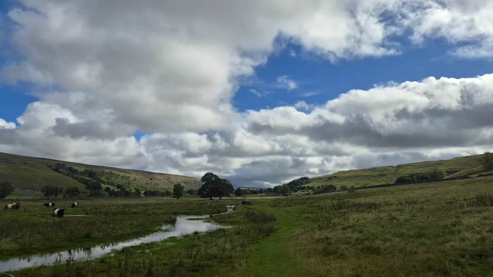
Litton and Halton Gill
Littondale is one of the hidden valleys of the Dales, all drystone walls, tiny hamlets and empty fells, and this loop gives you its prettiest upper stretch with barely another soul about.
Effort: Short distance, minimal climb
Underfoot: Some uneven or off-path ground
E1·T2 — how we grade routes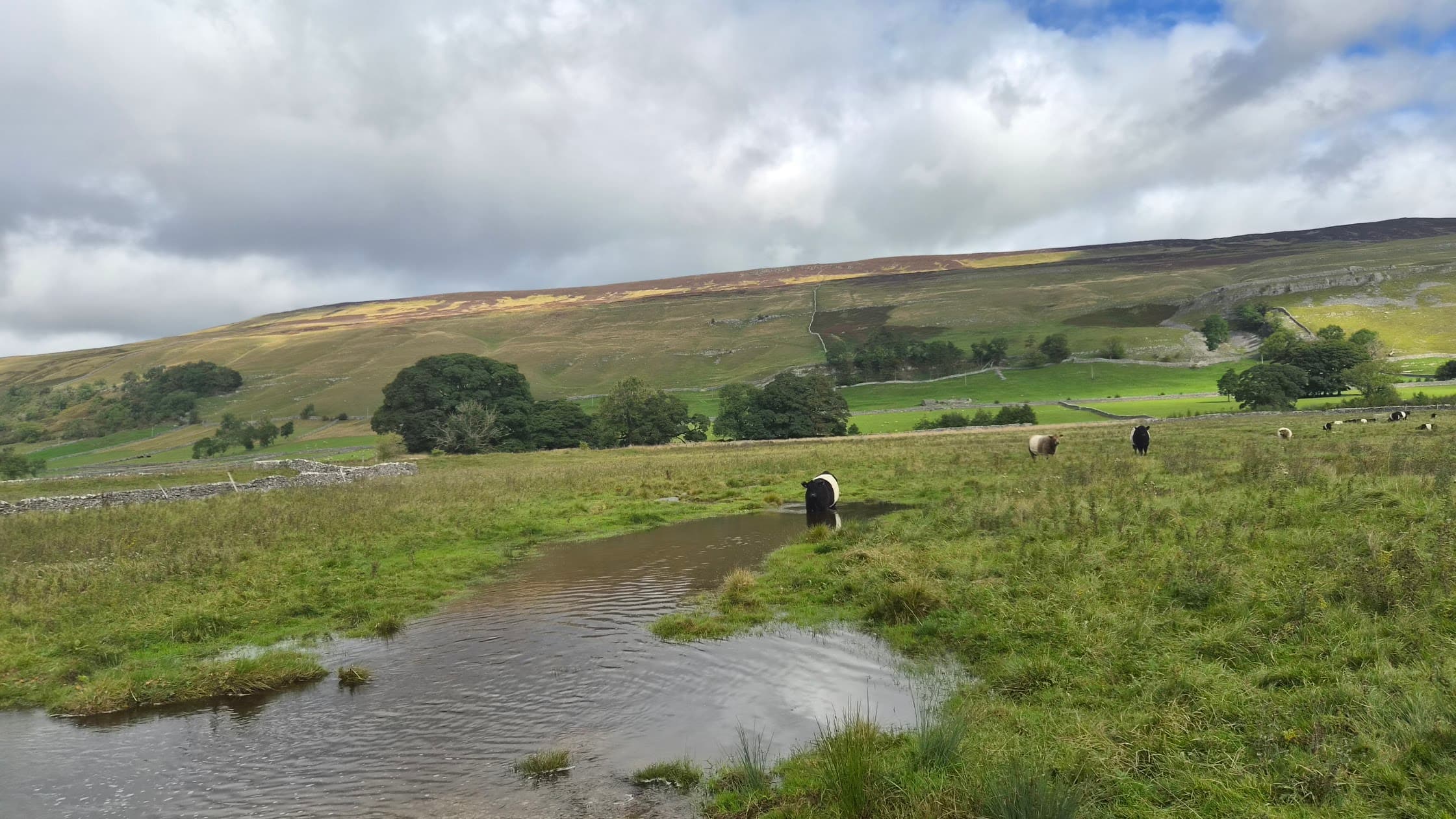
An 8.3km loop through upper Littondale linking the hamlets of Litton and Halton Gill along the River Skirfare, under the flank of Pen-y-ghent. Short, quiet Dales running on classic valley paths.
Littondale is one of the hidden valleys of the Dales, all drystone walls, tiny hamlets and empty fells, and this loop gives you its prettiest upper stretch with barely another soul about.
The route
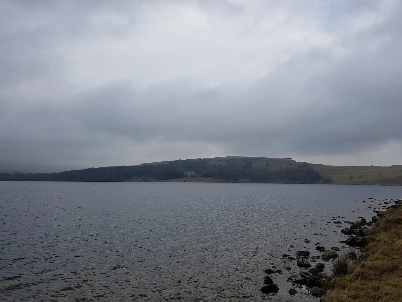
Start in Litton or Halton Gill and make an 8.3km loop through the head of Littondale, following the River Skirfare and the field paths that link the two hamlets. It is a short, gentle route by Dales standards, staying low in the valley with the great whaleback of Pen-y-ghent filling the skyline to the west. This is intimate, unhurried country, a run to enjoy rather than attack.
The valley
Littondale is an offshoot of Wharfedale, quieter and less visited than its neighbour, made up of the hamlets of Hawkswick, Arncliffe, Litton, Foxup and Halton Gill. Halton Gill is a stunningly remote huddle of stone houses that stood in for a village in the film The Woman in Black; Litton has the 17th-century Queens Arms at its heart. Between them the Skirfare runs over its limestone bed, often disappearing underground in dry spells, and the walls climb the fellsides in patterns centuries old.
Why it works
This is a route for a peaceful, scenic outing. The distance is short, the ground mostly good valley path, and the navigation straightforward along the river and between the hamlets. It suits an easy day, a run with company, or a first taste of the quieter Dales, and the Queens Arms gives you a proper Dales pub at the finish, one of those places that feels a world away from anywhere. Few short loops in the Dales pack this much quiet character into so little distance, which is exactly why it is worth the drive up the dale to find it. The riverside meadows hold water after rain and the limestone is slick when wet, so pick your footing. It links naturally onto the higher fells, including Pen-y-ghent itself, if you want to turn a gentle loop into a bigger day on the higher fells above the dale.

Partner · affiliate policy
The riverside meadows hold water after rain and the limestone paths are slick when wet. The Skirfare can rise quickly in spate. Remote upper valley with limited phone signal.
Leave No Trace
- Leave nothing but footprints, take nothing but memories.
- Please respect the countryside and all its inhabitants.
- Dogs on leads near livestock, and around ground-nesting birds from March to July.
- Gates as you find them — open or closed, leave it that way for the farmer and the next runner.
- Take it all home — wrappers, peel, tissue, the lot. It doesn't count as biodegradable if you can still see it.
- Stick to the path where the ground either side is wet, planted, or nesting habitat.
Common questions
- Most runners complete Litton and Halton Gill in 55 minutes to 1 hour 15 minutes, depending on pace and conditions.
Run by us· last checked September 2026
Jason Millward has run this route and written it up from the ground. How we check routes
About the author
Runner reports
(1)Ran this route? Rate it, share conditions, log your time — helps other runners plan their day.
1 report in the last 12 months · latest 6 days ago
1 runner report so far
4 more reports and we'll show the ratings here. Ran it? Add yours below.
Its a flat run up one side of the valley and back down the other. Very easy run with virtually no climbing. The valley is stunning and much quieter than over towards Kettlewell and Buckden



Routes nearby
Start from a town: Kettlewell 8.5 km · Horton-in-Ribblesdale 10.4 km · Settle 13.6 km · Grassington 14 km
 HARD
HARD VERY HARD
 VERY HARD
 EXPERT
 HARD
HARDRaces on this ground
All Yorkshire Dales races →Races starting within 20 km of the Litton and Halton Gill start, nearest first. If you are entered for one, this route is the rehearsal.
24
Apr
2027
Three Peaks Race
Horton in Ribblesdale, North Yorkshire · Three Peaks Race · 6 miles away
Pen-y-ghent, Whernside and Ingleborough from Horton, as it has been since 1954.
Not open yet
1
May
2027
Pennine Barrier Ultra 50
Malham, North Yorkshire · GB Ultras · 7 miles away
Fifty hard Dales miles out of Malham.
EXPERT
Entries open
17
Oct
2026
Ultra Tour of the Yorkshire Dales
Devonshire Institute, 48 Main Street, Grassington, North Yorkshire · Due North Events · 9 miles away
Grassington to Malham Tarn, Arncliffe and Wharfedale, with route choice between checkpoints.
VERY HARD TO EXPERT
Entries open
10
Jan
2027
Winter Spine Challenger North
Hardraw, North Yorkshire · The Spine Race · 11 miles away
Hardraw to Kirk Yetholm, the northern hundred and sixty, starting at dusk.
Event full