Ingleborough from Chapel-le-Dale
Vast plateau views on a clear day stretch from the Lake District to the Pennines, with the descent through classic limestone karst.
Vast plateau views on a clear day stretch from the Lake District to the Pennines, with the descent through classic limestone karst.
A direct ascent of Ingleborough — the highest of the Three Peaks at 723m — via the dramatic limestone pavement of Southerscales and the long south-west ridge.
The route
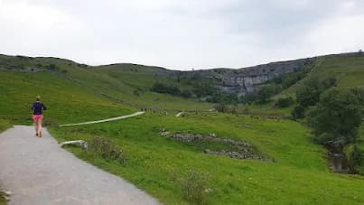
The car park at Horton Road, Chapel-le-Dale sits at the foot of Ingleborough's south-west flank. The route rises through National Nature Reserve limestone pavement at Southerscales — a surreal landscape of clints and grykes — before climbing steeply onto the ridge.
The summit plateau
Ingleborough's summit is the largest plateau of any fell in the Dales, nearly 1km across. On a clear day the views are exceptional — Pen-y-ghent, Whernside, Morecambe Bay, and the Lake District fells on the horizon. The Iron Age hillfort ramparts are still visible around the plateau edge.
The descent
Return via the same ridge or loop back through Horton Scar and the limestone scenery of Crummackdale.
Exposed summit plateau — can be cloud-covered even on clear days lower down. Navigation can be challenging in poor visibility. Limestone pavement requires care — ankles at risk in grykes.
Summits on this route


Safety on this route
- No signal? Text 999 — pre-register first: text register to 999
- Tell someone your route and expected return time before you head out
Common questions
More routes in Yorkshire Dales
 HARD
HARD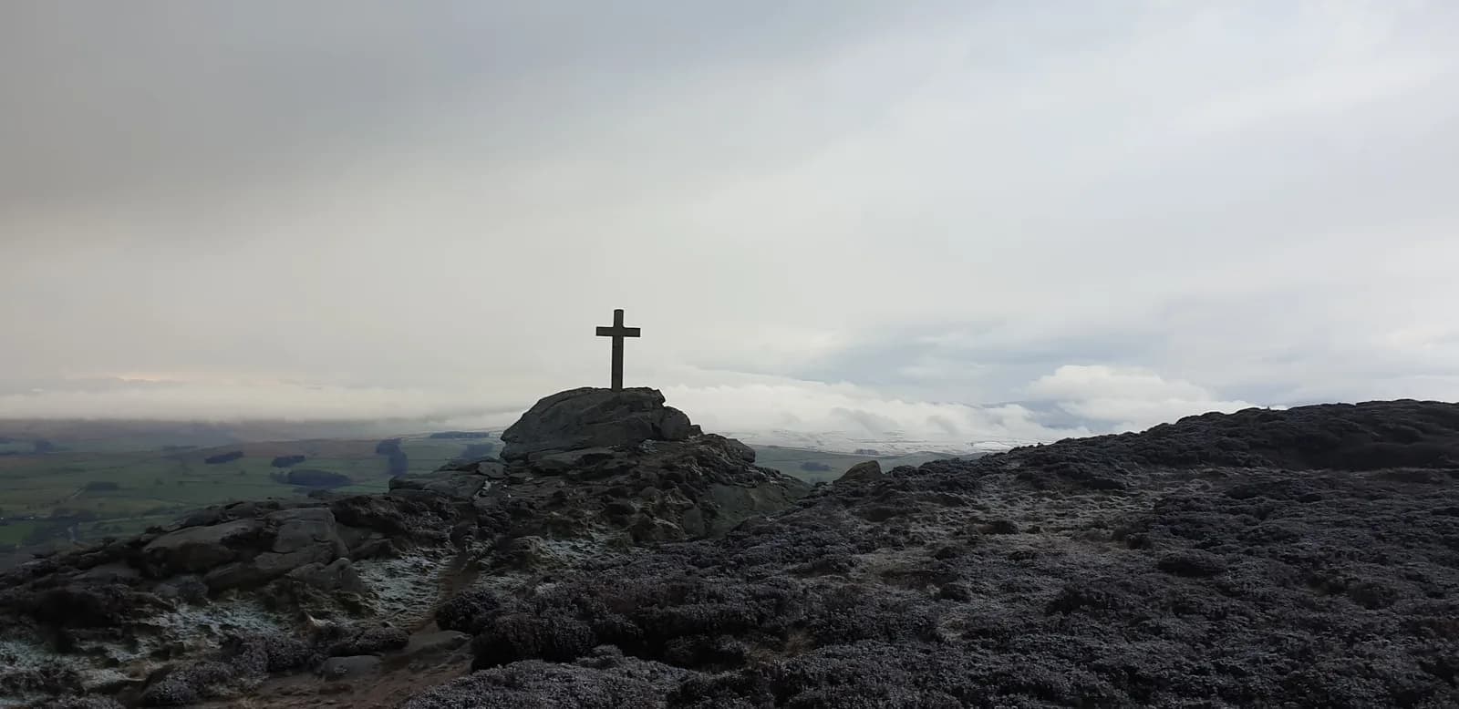 HARD
HARD MODERATE