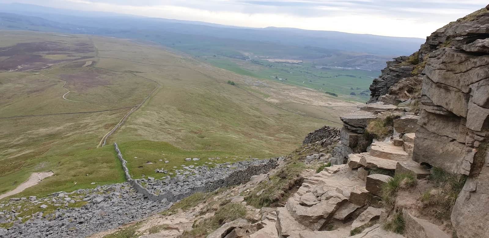
Fountains Fell and Pen-y-ghent from Horton-in-Ribblesdale
Two contrasting Dales summits in one long loop, with the lonely moorland of Fountains Fell giving way to the unmistakable stepped profile of Pen-y-ghent.
No photos of this route yet. Sign in to add one
Mostly on runnable ground, but most runners still walk the steepest climbs.
A big 33.4km horseshoe from Horton-in-Ribblesdale over the broad bog of Fountains Fell and the rocky prow of Pen-y-ghent, linking the two on quiet Pennine Way ground.
Two contrasting Dales summits in one long loop, with the lonely moorland of Fountains Fell giving way to the unmistakable stepped profile of Pen-y-ghent.
The route
From Horton-in-Ribblesdale this 33.4km loop heads out across farmland before the long pull onto Fountains Fell, a vast peaty whaleback that sees a fraction of the traffic of its famous neighbour. The summit plateau is rough and wet, scattered with the remains of old coal workings, and the running is honest moorland: tussock, bog and faint track. From the top you drop toward Pen-y-ghent, the route swinging round to climb its southern flank.
The summit
Pen-y-ghent rises to 694m and gives the day its sharpest moment, a short rocky step near the top where hands come briefly into play before the path eases onto the summit. The views stretch across the Three Peaks country and down the length of Ribblesdale. From here the well-marked Pennine Way carries you back toward Horton on firmer, faster ground.
Why it works
This is a proper long day that rewards strong navigation and steady pacing rather than raw speed. Fountains Fell brings remoteness and solitude, Pen-y-ghent brings the drama, and the contrast between them is the point. Save energy for the second half, because the climb back onto Pen-y-ghent comes when your legs are already loaded. Pick a clear day so the broad top of Fountains Fell stays straightforward to read, and carry everything you need, as there is no shelter or water once you leave the valley.
Getting there
Horton-in-Ribblesdale makes an ideal base, with its own station on the Settle to Carlisle line and a National Park car park in the village. The route shares ground with the Pennine Way and the Three Peaks paths in places, so the navigation eases on those stretches, but the crossing of Fountains Fell is where map and compass earn their keep. Set off with plenty of daylight in hand for the full 33.4km.

Partner · affiliate policy
Disused coal mine shafts on the summit of Fountains Fell are a real hazard, especially in poor visibility. Expect persistent bog, full exposure to weather on both tops, and a short rocky step on Pen-y-ghent.
Summits on this route
Safety on this route
- No signal? Text 999 — pre-register first: text register to 999
- Tell someone your route and expected return time before you head out
Leave No Trace
- Leave nothing but footprints, take nothing but memories.
- Please respect the countryside and all its inhabitants.
- Dogs on leads near livestock, and around ground-nesting birds from March to July.
- Gates as you find them — open or closed, leave it that way for the farmer and the next runner.
- Take it all home — wrappers, peel, tissue, the lot. It doesn't count as biodegradable if you can still see it.
- Stick to the path where the ground either side is wet, planted, or nesting habitat.
Common questions
- Most runners complete Fountains Fell and Pen-y-ghent from Horton-in-Ribblesdale in 4 hours 30 minutes to 6 hours, depending on pace and conditions.
Run by us· last checked July 2026
Jason Millward has run this route and written it up from the ground. How we check routes
About the author
Runner reports
Nobody's logged a run here yet. If you get out on it, a few lines about how it went helps the next person plan their day.



Routes nearby
Start from a town: Horton-in-Ribblesdale 1 km · Settle 8.7 km
 HARD
HARD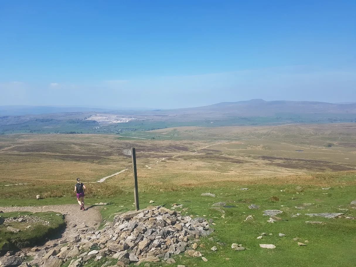 EXPERT
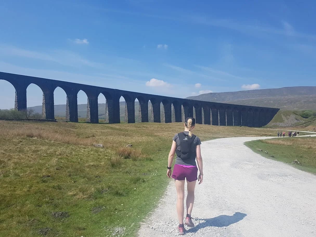 EXPERT
 MODERATE
Races on this ground
All Yorkshire Dales races →Races starting within 20 km of the Fountains Fell and Pen-y-ghent from Horton-in-Ribblesdale start, nearest first. If you are entered for one, this route is the rehearsal.
24
Apr
2027
Three Peaks Race
Horton in Ribblesdale, North Yorkshire · Three Peaks Race · 0 miles away
Pen-y-ghent, Whernside and Ingleborough from Horton, as it has been since 1954.
Not open yet
24
Apr
2027

The Fellsman
Ingleton, North Yorkshire · The Fellsman · 7 miles away
Sixty-one miles across the Dales from Ingleton to Threshfield, navigating all the way.
Not open yet
24
Apr
2027
The Fellsman Dart
Redshaw checkpoint, Hawes to Ingleton road, North Yorkshire · The Fellsman · 7 miles away
Half the Fellsman, thirty miles from Redshaw to Threshfield.
Not open yet
1
May
2027

Pennine Barrier Ultra 50
Malham, North Yorkshire · GB Ultras · 8 miles away
Fifty hard Dales miles out of Malham.
EXPERT
Entries open