Yorkshire Three Peaks Extended
A big day out on the most recognisable skyline in the Dales — three distinct summits, 1500m of climbing, and a finish that earns its beer.
Effort: Ultra distance and major ascent
Underfoot: Open fell or rough terrain
E5·T3 — how we grade routes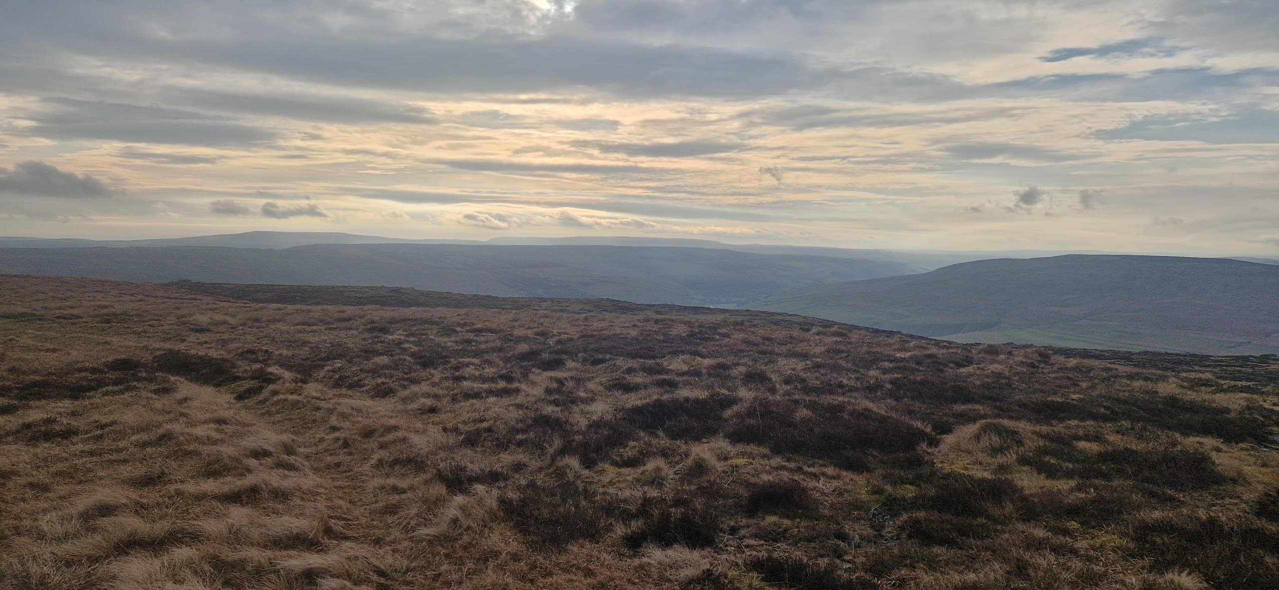
Mostly on runnable ground, but most runners still walk the steepest climbs.
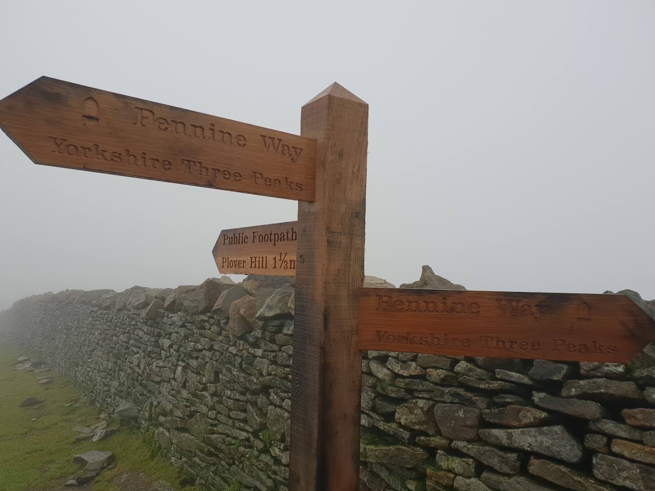
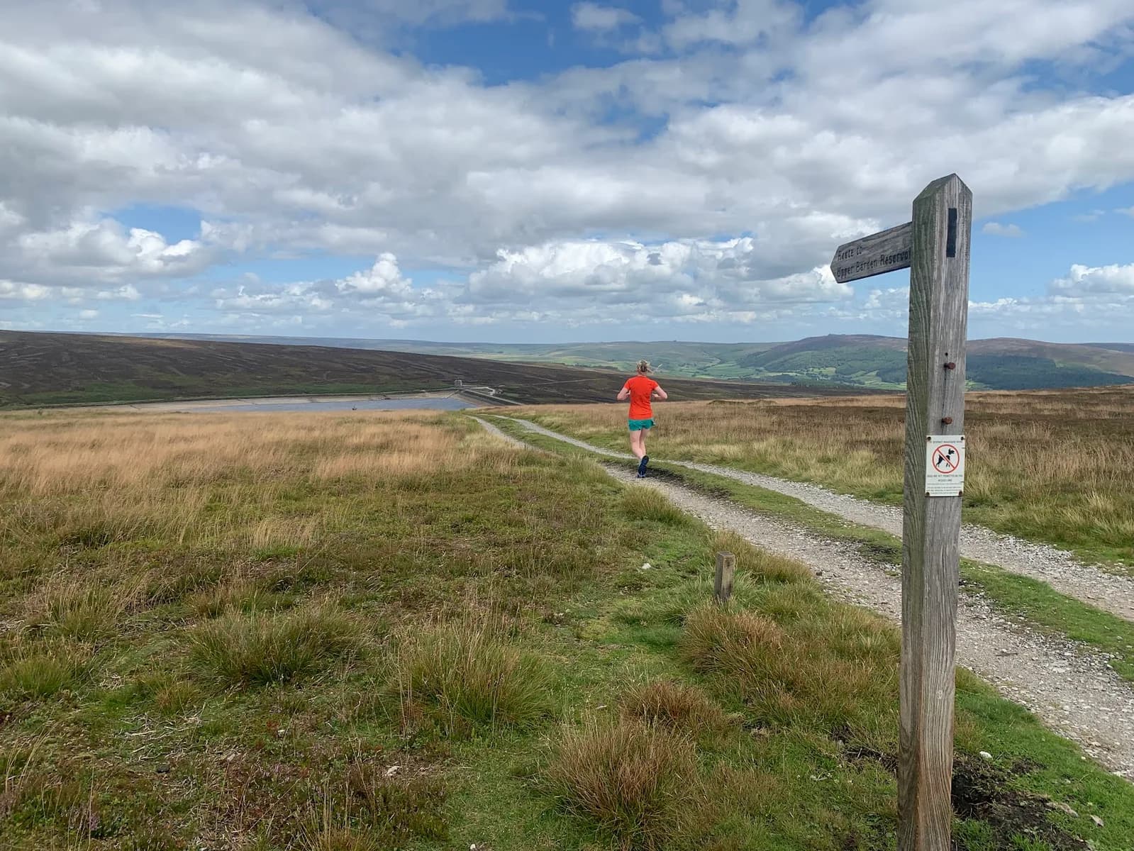
For when the the classic long run linking Pen-y-ghent, Whernside, and Ingleborough just isn't long enough why not add in Plover Hill for a few bonus miles
A big day out on the most recognisable skyline in the Dales — three distinct summits, 1500m of climbing, and a finish that earns its beer.
The route
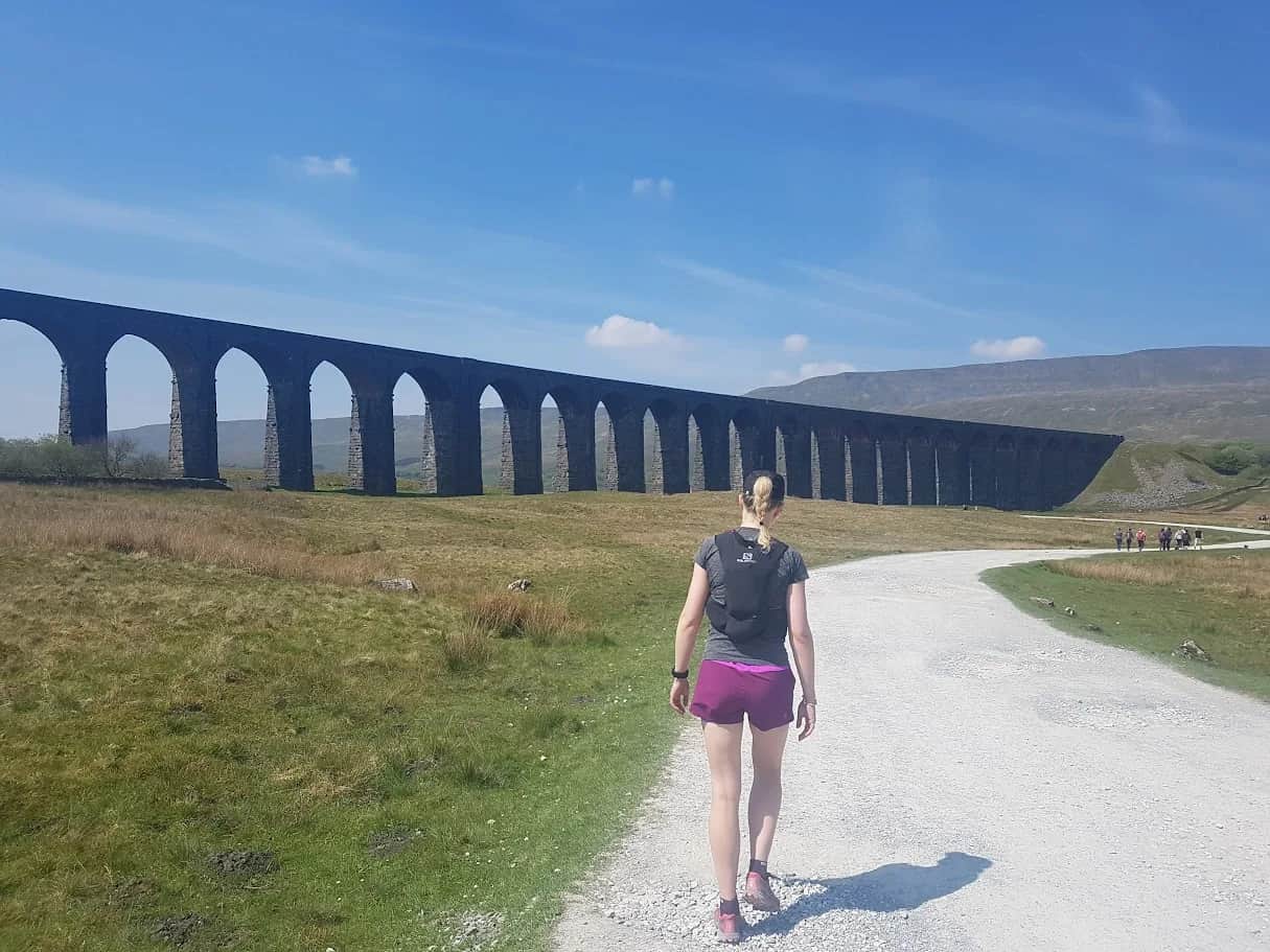
From the car park in Horton-in-Ribblesdale, follow the Pennine Way south then east onto Pen-y-ghent's south ridge. A short rocky scramble gains the summit at 694m. Drop north into Horton, then strike northwest across Ribble Head to Whernside's long east ridge. The highest of the three at 736m, Whernside is long and exposed. Descend to Chapel-le-Dale before the final climb onto Ingleborough's plateau at 724m.
Getting it done
This modified circuit adjusts the classic Three Peaks Challenge route for running rather than walking. At 43km and 1500m ascent it's a full day out at most paces.
Exposed ridges on Whernside and Ingleborough. Pen-y-ghent's upper south ridge involves rocky steps — slippery when wet. Very busy at weekends. No shelter on any summit plateau.
Summits on this route
Safety on this route
- No signal? Text 999 — pre-register first: text register to 999
- Tell someone your route and expected return time before you head out
Leave No Trace
- Leave nothing but footprints, take nothing but memories.
- Please respect the countryside and all its inhabitants.
- Dogs on leads near livestock, and around ground-nesting birds from March to July.
- Gates as you find them — open or closed, leave it that way for the farmer and the next runner.
- Take it all home — wrappers, peel, tissue, the lot. It doesn't count as biodegradable if you can still see it.
- Stick to the path where the ground either side is wet, planted, or nesting habitat.
Common questions
About the author
Runner reports
Ran this route? Rate it, share conditions, log your time — helps other runners plan their day.
No runner feedback yet
Be the first to run this and report back — ratings appear once a few runners have shared their experience.
No runs logged yet — be the first.


More routes in Yorkshire Dales
 MODERATE
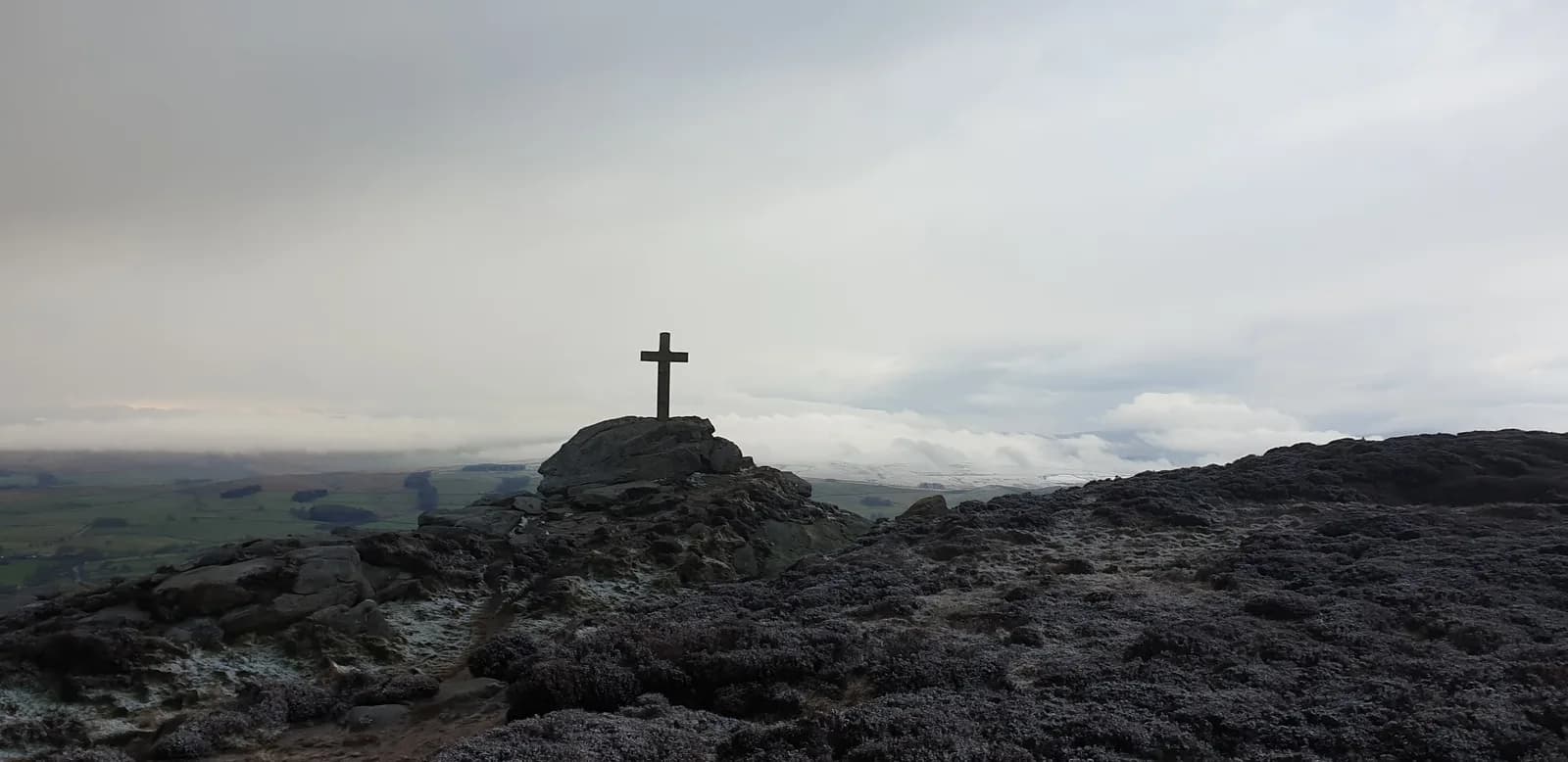 HARD
HARD HARD
HARD