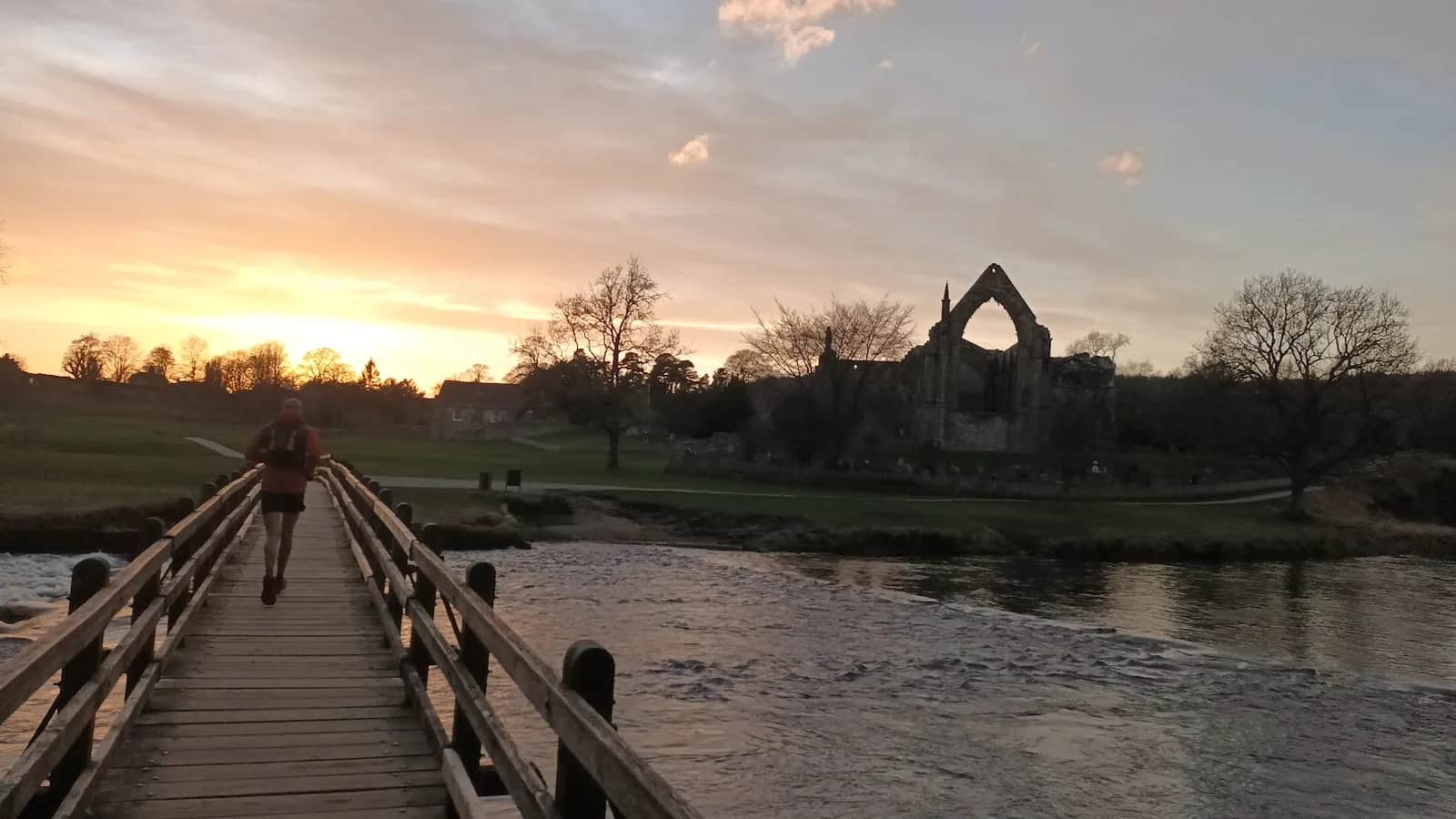
Skipton Moor, Bolton Abbey and Barden Moor
A proper long day stitching together terrain most runners split into two separate outings. Bolton Abbey woods make a welcome change of scene at the halfway mark.
Effort: Good distance, solid climb
Underfoot: Some uneven or off-path ground
E3·T2 — how we grade routesNo photos of this route yet. Sign in to add one
Mostly on runnable ground, but most runners still walk the steepest climbs.
A long moorland and valley circuit from Skipton linking three distinct landscapes — Skipton Moor, the wooded river at Bolton Abbey, and the high ground of Barden Moor.
A proper long day stitching together terrain most runners split into two separate outings. Bolton Abbey woods make a welcome change of scene at the halfway mark.
The route
From Shortbank Road above Skipton, the route climbs Skipton Moor then descends to the River Wharfe at Bolton Abbey. After passing the priory ruins, the route climbs onto Barden Moor for the return — a big open plateau before the descent back towards Skipton.
Logistics
At 28km, this is a half-marathon-plus effort. The midpoint at Bolton Abbey is a natural bail-out if needed, and the Cavendish Pavilion café provides a mid-route resupply.

Partner · affiliate policy
Boggy moorland on Skipton Moor and Barden Moor. Grouse shooting August to December. Some road miles on approach and return.
Summits on this route
Safety on this route
- No signal? Text 999 — pre-register first: text register to 999
- Tell someone your route and expected return time before you head out
Leave No Trace
- Leave nothing but footprints, take nothing but memories.
- Please respect the countryside and all its inhabitants.
- Dogs on leads near livestock, and around ground-nesting birds from March to July.
- Gates as you find them — open or closed, leave it that way for the farmer and the next runner.
- Take it all home — wrappers, peel, tissue, the lot. It doesn't count as biodegradable if you can still see it.
- Stick to the path where the ground either side is wet, planted, or nesting habitat.
Common questions
- Most runners complete Skipton Moor, Bolton Abbey and Barden Moor in 3 hours 40 minutes to 4 hours 55 minutes, depending on pace and conditions.
Run by us· last checked June 2026
Jason Millward has run this route and written it up from the ground. How we check routes
About the author
Runner reports
Nobody's logged a run here yet. If you get out on it, a few lines about how it went helps the next person plan their day.



Start from a town: Skipton 0.3 km · Grassington 12 km · Ilkley 13.2 km
 HARD
HARD EASY
EASY HARD
HARD MODERATE
 MODERATE
 MODERATE
Races on this ground
All Yorkshire Dales races →Races starting within 20 km of the Skipton Moor, Bolton Abbey and Barden Moor start, nearest first. If you are entered for one, this route is the rehearsal.
10
Apr
2027

Skipton Skedaddle
Skipton, North Yorkshire · Punk Panther · 1 miles away
Out of the market town and into the Dales — Malham Tarn, Gordale Scar and Pen-y-ghent on the long one.
HARD TO VERY HARD
Entries open
7
Aug
2027
provisional
Dales Dazzler
Skipton, North Yorkshire · Punk Panther · 1 miles away
Skipton to the Pennine Way, Malham Tarn and back down the Dales Way. Fifty miles if you want it.
HARD TO EXPERT
Not open yet
6
Feb
2027

Skipton Sweetie Skedaddle
Craven Leisure Centre, Gargrave Road, Skipton · It's Grim Up North Running · 1 miles away
The Leeds & Liverpool towpath out of Skipton, flat and fast, 10k to ultra with a six-and-a-half-hour cut-off and sweets, chocolate and cake at the finish. Road shoes suggested.
Entries open
£29–£43
5
Aug
2027
Skipton Rock Up n' Run
Craven Leisure Centre, Gargrave Road, Skipton · It's Grim Up North Running · 1 miles away
A midweek summer evening 5k or 10k on the Leeds & Liverpool towpath from Craven Leisure Centre in Skipton. Register from six, pay on the night, jumble medal and hot food after.
Entries open
£17–£29