Skipton 6 Peaks
Six distinct summits in one big day, a proper local challenge that strings together the gritstone crags and moors ringing Skipton.
Cookrise Crag
Mostly on runnable ground, but most runners still walk the steepest climbs.
A 42km challenge loop from Skipton over six tops around the town: Sharp Haw, Rough Haw, Crookrise Crag Top, Embsay Crag, Rylstone Cross and Cracoe Fell with its war memorial.
Six distinct summits in one big day, a proper local challenge that strings together the gritstone crags and moors ringing Skipton.
The route
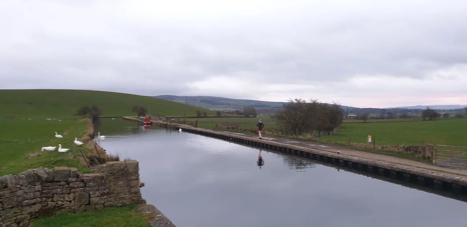
This 42km loop is a true challenge run, a tour of the six hills that look down on Skipton. Heading out from the town up Shortbank Road the first summit to tackle is Skipton Moor. Amazing views towards the Yorkshire Dales to the North is a fine reward for this first climb. A fast descent down to the village of Bradley is next followed by some fast canal miles before the real test begins.
Sharp and Rough Haw are the next climbs in the route and whilst not particularly high Sharphaw steepens towards the end giving a nice sting in the tail. A quick down and up to Rough Haw sends you on your way towards Rylstone and some more easy miles before the biggest climb on the route.
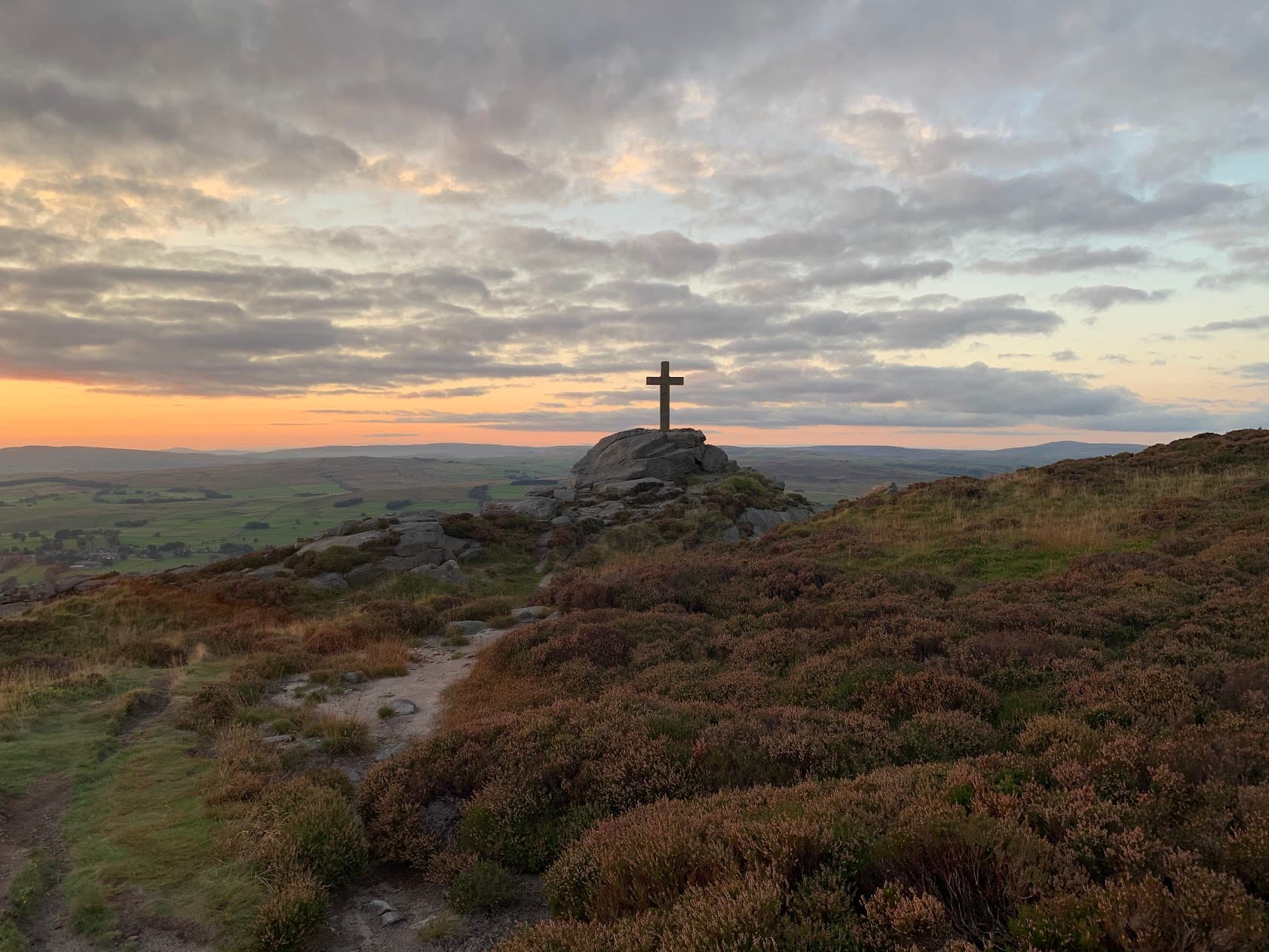
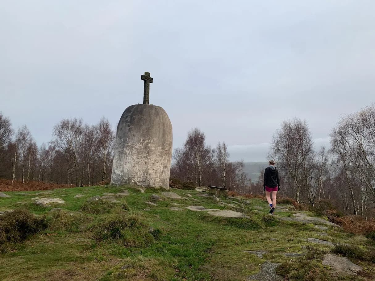
The climb up to Rylstone cross can be boggy in wet weather especially the first section but the reward once you reach the war memorial more than makes up for the testing climb. It always reminds me of a smaller version of the start of leg 2 of the Bob Graham round and the climb up Clough Head.
What follows next is 6 miles of what I consider to be some of the best trail anywhere in the country. Fast and flowing with multiple line choices but with enough rocks and drops to keep you on your toes the section past Rylstone Cross is an absolute joy.
A steep drop to cross a stream and an equally short and sharp climb leads you to the penultimate top of Cookrise Crag.
The fun continues with a nicely technical drop to Embsay reservoir followed by the last climb of the route up to Embsay Crag.
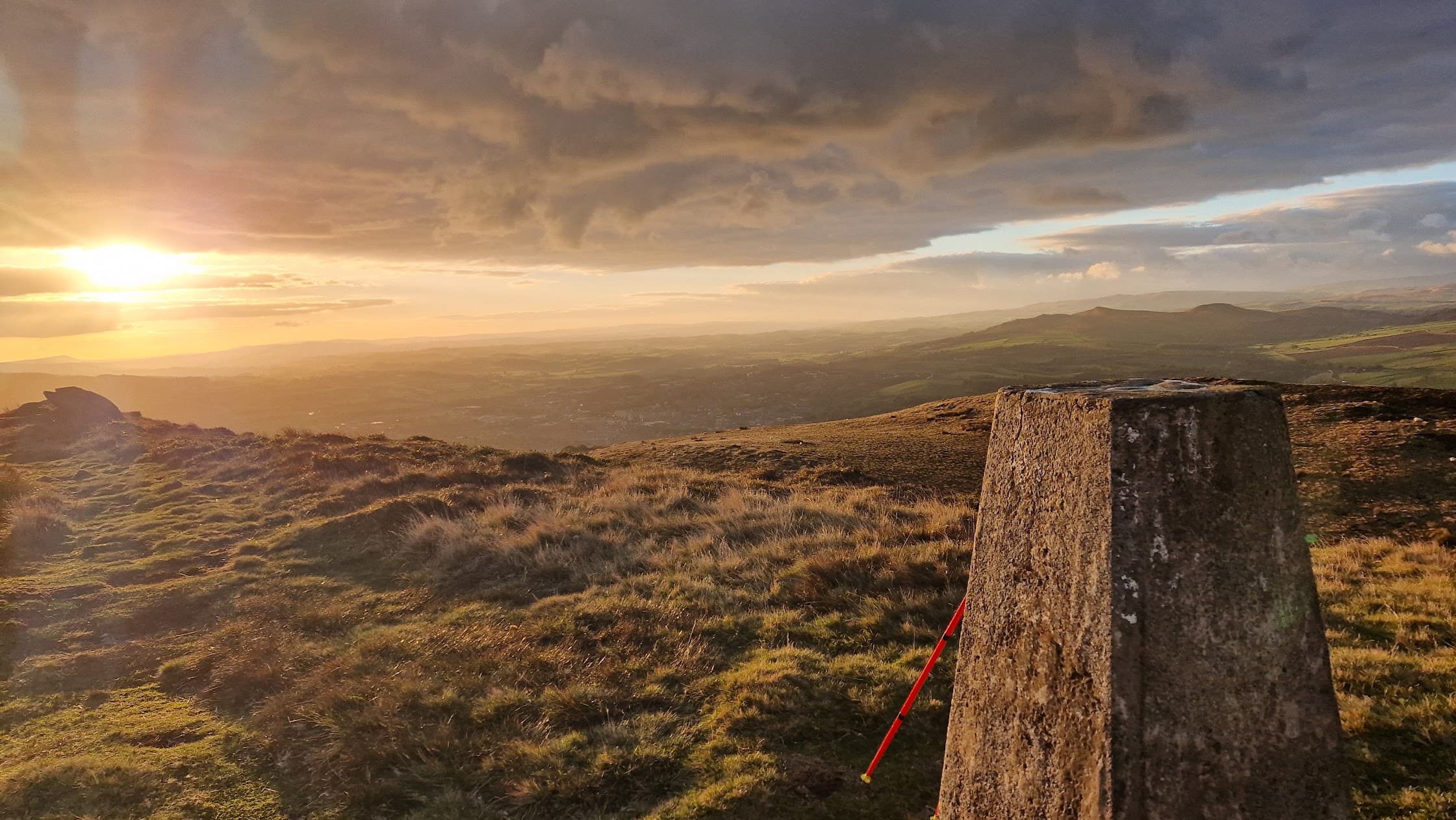
The reward for summiting Embsay Crag is views out towards Skipton and Pendle Hill in one direction and Simons Seat in the other.
Enjoy the last descent of the day off the Crag which is fast and easy before some mostly downhill road miles back into Skipton.
If you run the route don't forget to leave a review and add some photos.
The summits
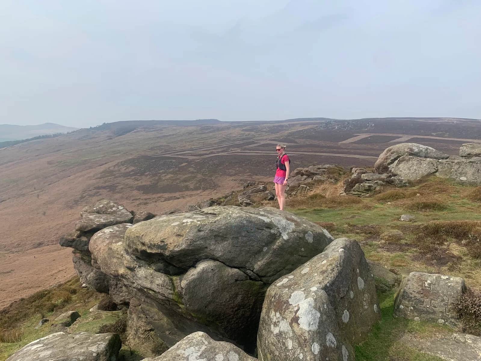
The high ground carries you over Crookrise Crag Top and Embsay Crag, both fine gritstone edges with steep drops and far views, before the moorland crossing to Rylstone Cross and on to Cracoe Fell. The Cracoe war memorial, a gritstone obelisk raised in 1922, marks the highest point of the round at around 500m. Each top has its own feel, from the sharp little summits of Flasby Fell to the brooding expanse of Barden Moor, and linking all six makes for a long, satisfying day with roughly 1,251m of total climbing.
Why it works
This is the ideal big local objective, demanding endurance and steady navigation rather than mountain skills, yet never far from a road or the town. The Barden Moor sections are open access land that can be impacted on shoot days and where dogs are restricted, so check before you go. With Skipton's parking, station and cafes at the start, the logistics are simple, leaving you to focus on ticking off all six tops.
Getting there
Skipton, the self-styled gateway to the Dales, has frequent trains on the Airedale line and plenty of parking, so the start is straightforward. The route climbs gently at first over Skipton Moor before heading over Flasby Fell and on to the bigger moorland crossing, so pace the early tops and save something for Cracoe Fell late in the day. On a clear round the views stretch from Pendle Hill in the south to the high Three Peaks in the north.

Partner · affiliate policy
Barden Moor is access land that closes on grouse shoot days, so check before setting out. Expect exposure on the gritstone edges, boggy moorland between tops, and a long day where weather can turn.
Summits on this route
Safety on this route
- No signal? Text 999 — pre-register first: text register to 999
- Tell someone your route and expected return time before you head out
Leave No Trace
- Leave nothing but footprints, take nothing but memories.
- Please respect the countryside and all its inhabitants.
- Dogs on leads near livestock, and around ground-nesting birds from March to July.
- Gates as you find them — open or closed, leave it that way for the farmer and the next runner.
- Take it all home — wrappers, peel, tissue, the lot. It doesn't count as biodegradable if you can still see it.
- Stick to the path where the ground either side is wet, planted, or nesting habitat.
Common questions
- Most runners complete Skipton 6 Peaks in 5 hours 35 minutes to 7 hours 35 minutes, depending on pace and conditions.
Run by us· last checked July 2026
Jason Millward has run this route and written it up from the ground. How we check routes
About the author
Runner reports
(1)Ran this route? Rate it, share conditions, log your time — helps other runners plan their day.
1 report in the last 12 months · latest 2 months ago
1 runner report so far
4 more reports and we'll show the ratings here. Ran it? Add yours below.
This route is a proper test. Links in some of the bigger climbs in the area and the run down from the war memorial to Embsay reservoir is so much fun. Highly recommended but its a tough day out



Start from a town: Skipton 0.2 km · Grassington 12 km · Ilkley 13.2 km
 HARD
HARD EASY
EASY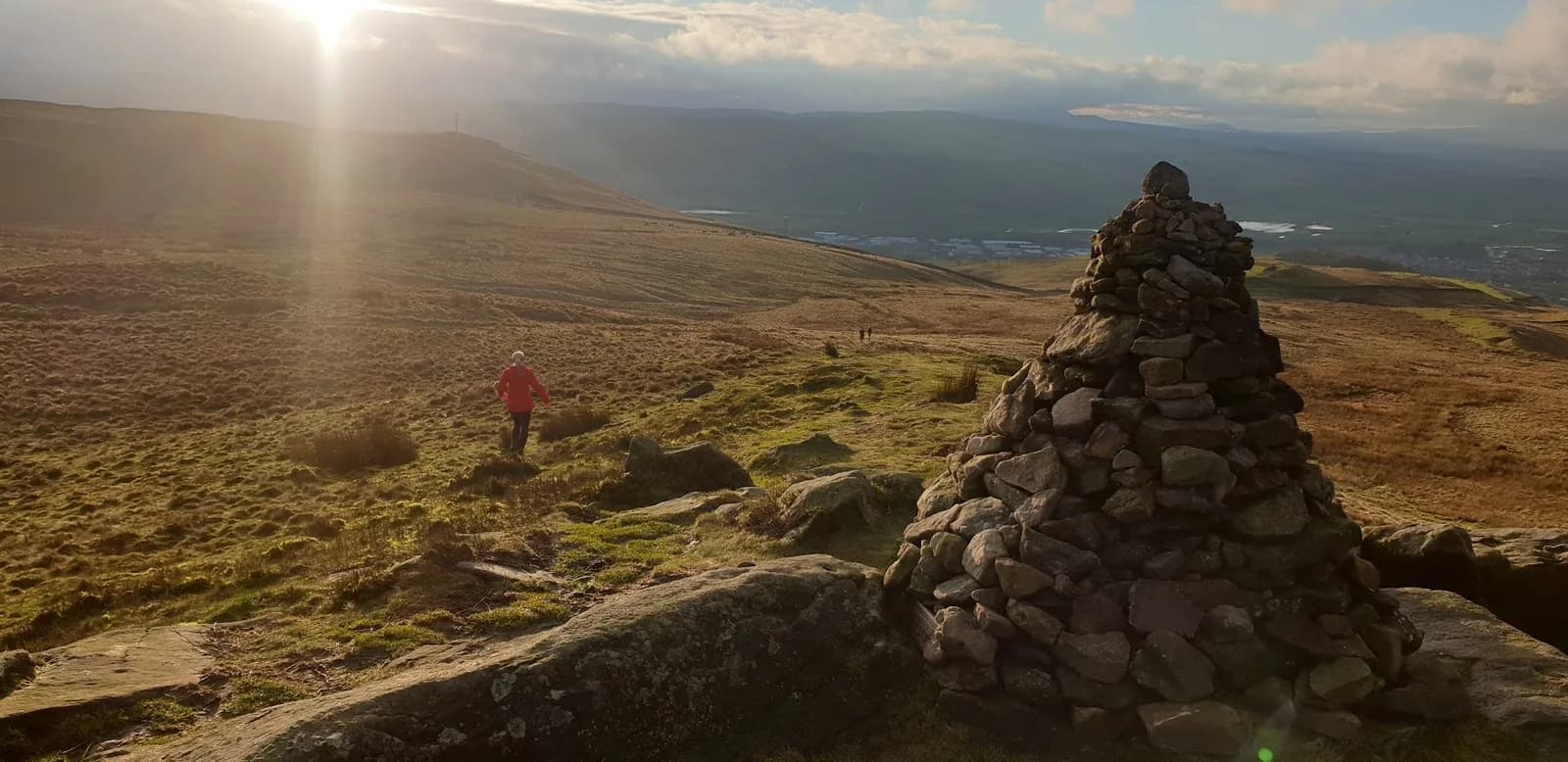 MODERATE
 EASY
EASY MODERATE
 HARD
HARDRaces on this ground
All Yorkshire Dales races →Races starting within 20 km of the Skipton 6 Peaks start, nearest first. If you are entered for one, this route is the rehearsal.
10
Apr
2027

Skipton Skedaddle
Skipton, North Yorkshire · Punk Panther · 1 miles away
Out of the market town and into the Dales — Malham Tarn, Gordale Scar and Pen-y-ghent on the long one.
HARD TO VERY HARD
Entries open
7
Aug
2027
provisional
Dales Dazzler
Skipton, North Yorkshire · Punk Panther · 1 miles away
Skipton to the Pennine Way, Malham Tarn and back down the Dales Way. Fifty miles if you want it.
HARD TO EXPERT
Not open yet
6
Feb
2027

Skipton Sweetie Skedaddle
Craven Leisure Centre, Gargrave Road, Skipton · It's Grim Up North Running · 1 miles away
The Leeds & Liverpool towpath out of Skipton, flat and fast, 10k to ultra with a six-and-a-half-hour cut-off and sweets, chocolate and cake at the finish. Road shoes suggested.
Entries open
£29–£43
5
Aug
2027
Skipton Rock Up n' Run
Craven Leisure Centre, Gargrave Road, Skipton · It's Grim Up North Running · 1 miles away
A midweek summer evening 5k or 10k on the Leeds & Liverpool towpath from Craven Leisure Centre in Skipton. Register from six, pay on the night, jumble medal and hot food after.
Entries open
£17–£29