
Beamsley Beacon from Addingham
The summit carries Bronze Age burial cairns and the wreckage site of a WWII aircraft just south of the trig point - a hill with more history packed into one top than its modest height suggests.
Effort: Moderate distance, manageable climb
Underfoot: Some uneven or off-path ground
E2·T2 — how we grade routesThe summit carries Bronze Age burial cairns and the wreckage site of a WWII aircraft just south of the trig point - a hill with more history packed into one top than its modest height suggests.
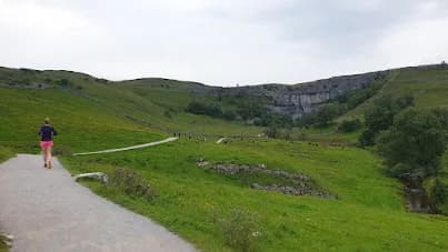
A short, sharp climb from Addingham onto the Bronze Age cairns and trig point of Beamsley Beacon, with wide views across Wharfedale. 8km point-to-point, 204m of ascent, finishing on the Bolton Abbey side of the hill.
The route
This route climbs out of Addingham and onto Beamsley Beacon in a single, direct pull, gaining 204m over roughly 8km and finishing on the far side of the hill rather than looping back. It's a point-to-point, so you'll want a plan for getting back - a second car, a lift, or treating it as an out-and-back if you'd rather return to Addingham on foot.
The summit
Beamsley Beacon tops out at 393m, and the summit itself is worth lingering on. Bronze Age burial cairns are scattered around the trig point, and close to the marker lies the wreckage site of a Second World War aircraft that came down on the hill - a quiet, easy-to-miss piece of history on what's otherwise a straightforward grass climb. The beacon takes its name from its historic role as a signal point, one of a chain of hills used to pass warnings across the country, and from the top you get the views to match: Wharfedale opening out below, and the southern Dales rolling away to the west.
Getting there and back
Addingham has on-street parking that's free outside peak hours, though spaces near the start fill up early on weekends. There's no railway station in the village, but bus services 62 and 64 connect Addingham with Ilkley and Skipton, useful if you're starting in one place and finishing in another. The Lord Addingham (formerly The Sailor) on Main Street is the obvious stop for food once you're done.
Why it works
What makes this short route worth the trip is the ratio of effort to reward - a modest climb that delivers a genuine Dales summit, a slice of wartime history, and views that punch above the hill's height. It's a good choice for an evening route when you want height and a view without committing a whole morning to it.
Open grassland to the summit can be slippery when wet, and the top is exposed to wind with no shelter. The route finishes away from its start point, so arrange your return transport before setting off.


Safety on this route
- No signal? Text 999 — pre-register first: text register to 999
- Tell someone your route and expected return time before you head out
Common questions
More routes in Yorkshire Dales
 HARD
HARD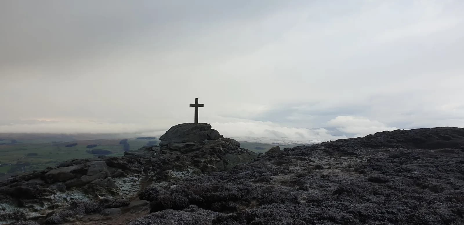 HARD
HARD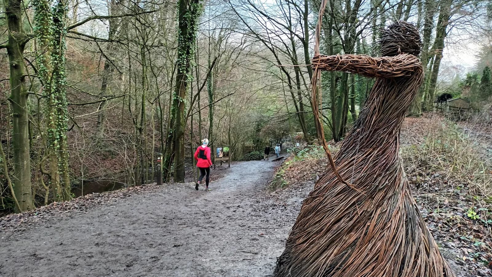 EASY
EASY