Whernside and Ingleborough from Ribblehead
Two of the Three Peaks in one shapely loop, beginning and ending at the iconic Ribblehead Viaduct with a railway cafe waiting at the finish.
Two of the Three Peaks in one shapely loop, beginning and ending at the iconic Ribblehead Viaduct with a railway cafe waiting at the finish.
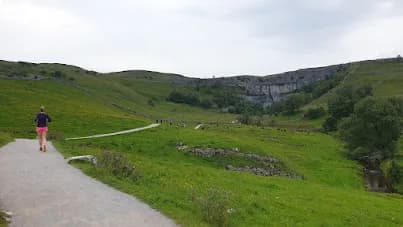
A 23.8km loop from Ribblehead over two of the Yorkshire Three Peaks, Whernside at 736m and Ingleborough at 724m, starting beneath the famous railway viaduct.
The route
Starting beneath the arches of the Ribblehead Viaduct, this 23.8km loop takes in the two highest of the Yorkshire Three Peaks. The route first heads for Whernside, the county top of North Yorkshire at 736m, climbing its long whaleback ridge with the viaduct and the Settle to Carlisle railway laid out below. The ridge running along Whernside's crest is a highlight, high and airy with views deep into the Dales and across to the Lakeland fells.
The summits
From Whernside the route descends and crosses the valley floor before the steep, rocky pull onto Ingleborough at 724m. Its broad, flat summit plateau, ringed by an ancient hillfort, is one of the most atmospheric tops in the Dales and one of the most confusing in cloud. After taking in the view the route descends back toward Ribblehead, closing the loop with roughly 550m of total ascent across the day.
Why it works
This pairing gives you the best of the Three Peaks without committing to the full challenge, on a loop with genuine mountain feel and superb running on Whernside's ridge. The Ribblehead start is hard to beat, with the viaduct, the railway and a station cafe all adding to the day. Treat the Ingleborough plateau with respect and carry a compass, as the flat top loses many a navigator when the cloud comes down. Pick clear conditions and this is a Dales classic.
Getting there
Ribblehead could not be easier to reach, with its own station on the Settle to Carlisle line and the Station Inn beside the start, while parking lines the B6255 nearby. The viaduct makes a dramatic launch point, and the route shares the well-trodden Three Peaks paths for much of its length, easing the navigation everywhere except the Ingleborough plateau, where the compass comes out.
The flat summit plateau of Ingleborough is disorienting in cloud and a common place to lose the path. Expect a steep, rocky climb onto Ingleborough, boggy ground around Whernside, and full weather exposure on both tops.
Summits on this route


Safety on this route
- No signal? Text 999 — pre-register first: text register to 999
- Tell someone your route and expected return time before you head out
Common questions
More routes in Yorkshire Dales
 HARD
HARD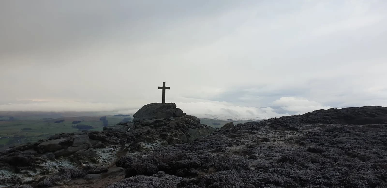 HARD
HARD MODERATE