
Skipton to Pinhaw Beacon and Back via Pennine Way and Canal
Pinhaw Beacon is the high point of the Pennine Way's opening stretch out of Edale, and this route takes you up to it and back without needing to commit to the rest of the trail.
Pinhaw Beacon is the high point of the Pennine Way's opening stretch out of Edale, and this route takes you up to it and back without needing to commit to the rest of the trail.
An out-and-back from Skipton along the canal and Pennine Way to Pinhaw Beacon, the highest point on the Pennine Way's southern stretch in the South Pennines. 28.6km, 257m of ascent, returning the same way.
The route
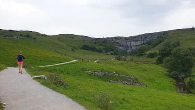
This out-and-back run follows the Leeds and Liverpool Canal out of Skipton before climbing onto the Pennine Way and pushing on to Pinhaw Beacon, then retracing the same line home. At 28.6km with 257m of ascent, the distance is the main challenge - the climbing is real but not severe, spread across a long, steady approach rather than one hard pull.
To the beacon
The canal section is flat and quick, a good warm-up before the Pennine Way takes over and starts climbing through Craven's farmland towards Thornton-in-Craven and Lothersdale. Pinhaw Beacon sits at 388m in the South Pennines, just outside the Yorkshire Dales National Park boundary, and the summit is marked by a trig point and toposcope. The Pennine Way's waymarking is consistent the whole way, so even though you're climbing onto open moorland near the top, navigation stays straightforward.
Lothersdale
The Pennine Way drops through Lothersdale on its way past Pinhaw, and the village pub, the Hare and Hounds, sits right on the trail with a beer garden that's hard to pass by without stopping. It's a useful staging point roughly midway, whether you're using it as a turnaround marker or just clocking it for next time.
Access and hazards
The moorland section near the beacon falls within grouse shooting country, with the season running from 12 August to 10 December and no shooting on Sundays. Because this is an out-and-back, there's no shortcut if you misjudge your pace on the way out - what you climb, you'll climb again in reverse on the way back, so it's worth being honest with yourself about fitness before committing to the full distance.
Why it works
This route works as a genuine long-distance test that still starts and finishes at your car - you get a real taste of the Pennine Way's character, a proper summit with a view back over Craven and into the South Pennines, and the option to turn around early at Lothersdale if the full distance isn't on the cards that day.
Grouse shooting runs 12 August to 10 December (no shooting on Sundays) on the moorland approach to the beacon. As an out-and-back, fatigue on the return leg is the main risk - pace the outward half conservatively.
Summits on this route


Common questions
More routes in Yorkshire Dales
 HARD
HARD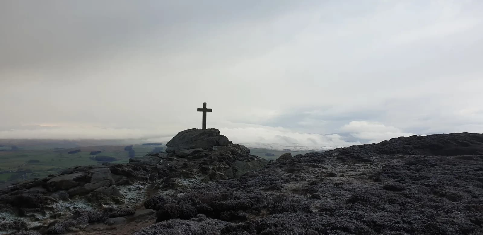 HARD
HARD EASY
EASY