The Calf via Cautley Spout
A genuinely spectacular waterfall as the opening act, followed by the smooth, whale-backed summits the Howgills are known for - all inside the Yorkshire Dales boundary but with a completely different character to the limestone Dales proper.
A genuinely spectacular waterfall as the opening act, followed by the smooth, whale-backed summits the Howgills are known for - all inside the Yorkshire Dales boundary but with a completely different character to the limestone Dales proper.
A 17.4km loop climbing beside Cautley Spout, England's highest cascade waterfall, to The Calf, the highest point in the Howgill Fells, with 689m of climbing on steep grass fellside.
The route
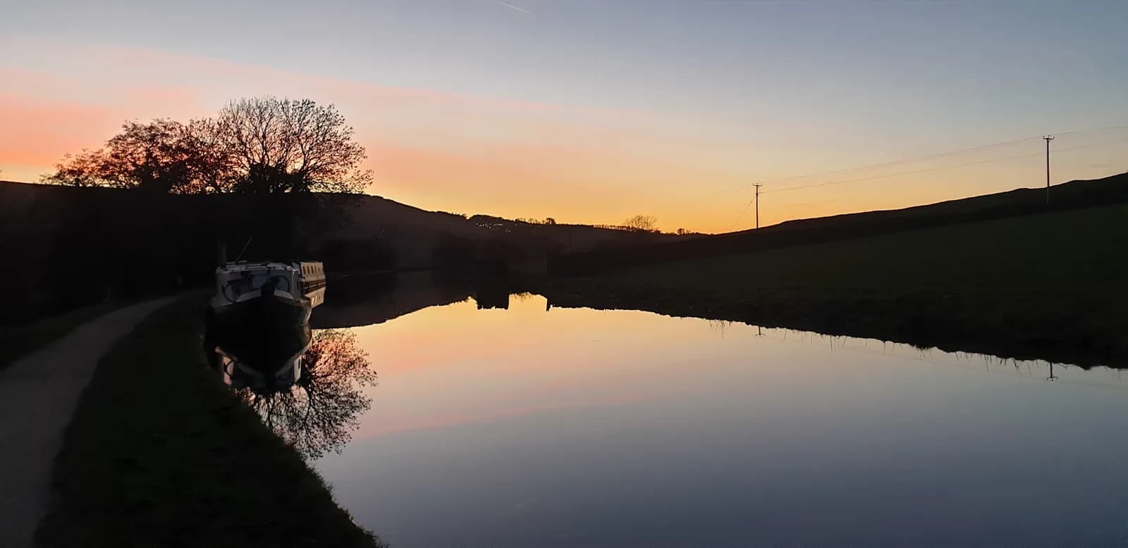
The Howgills feel like a different range entirely to the rest of the Yorkshire Dales - smooth, grassy, whale-backed hills rather than limestone scars and stone-walled dales, and this route captures exactly that contrast. It starts beside Cautley Spout, a series of cascades dropping around 180m down the fellside in full view of the path, widely reckoned to be England's highest waterfall above ground. The climb alongside it is steep and direct, gaining height fast on open grass rather than a graded path.
The Calf
From the top of the falls, the route continues onto The Calf, the highest point in the Howgills at 676m, a broad, rounded summit with none of the rock or scree you'd find on an equivalent Lakeland fell. The reward is space and solitude - the Howgills see a fraction of the visitors that pile into the Lake District or the honeypot corners of the Dales, despite sitting right between the two.
Why it works
At 689m of ascent over 17.4km, this is a proper fell effort concentrated into a shorter distance than most of the big Dales days, which makes it a good choice when you want serious climbing without committing to a full day out. Howgill Harriers, the local running club, use these hills regularly, which tells you something about the quality of the running here even if it's less well known than the Three Peaks or Wharfedale.
Getting there
Parking near Cautley Spout is genuinely limited - the layby by the Cross Keys is small and fills fast, so arrive early or use the free parking at New Bridge as a backup. Sedbergh itself, a few kilometres away, is worth knowing as England's official book town, and makes a genuinely good place to refuel afterwards with a proper cafe or two on the main street.
Steep, grassy fellside beside the falls is slippery when wet with a real consequence if you slip near the top of the cascade - keep back from the edge. Remote, open ground on The Calf with little shelter from wind.
Summits on this route


Safety on this route
- No signal? Text 999 — pre-register first: text register to 999
- Tell someone your route and expected return time before you head out
Common questions
More routes in Yorkshire Dales
 MODERATE
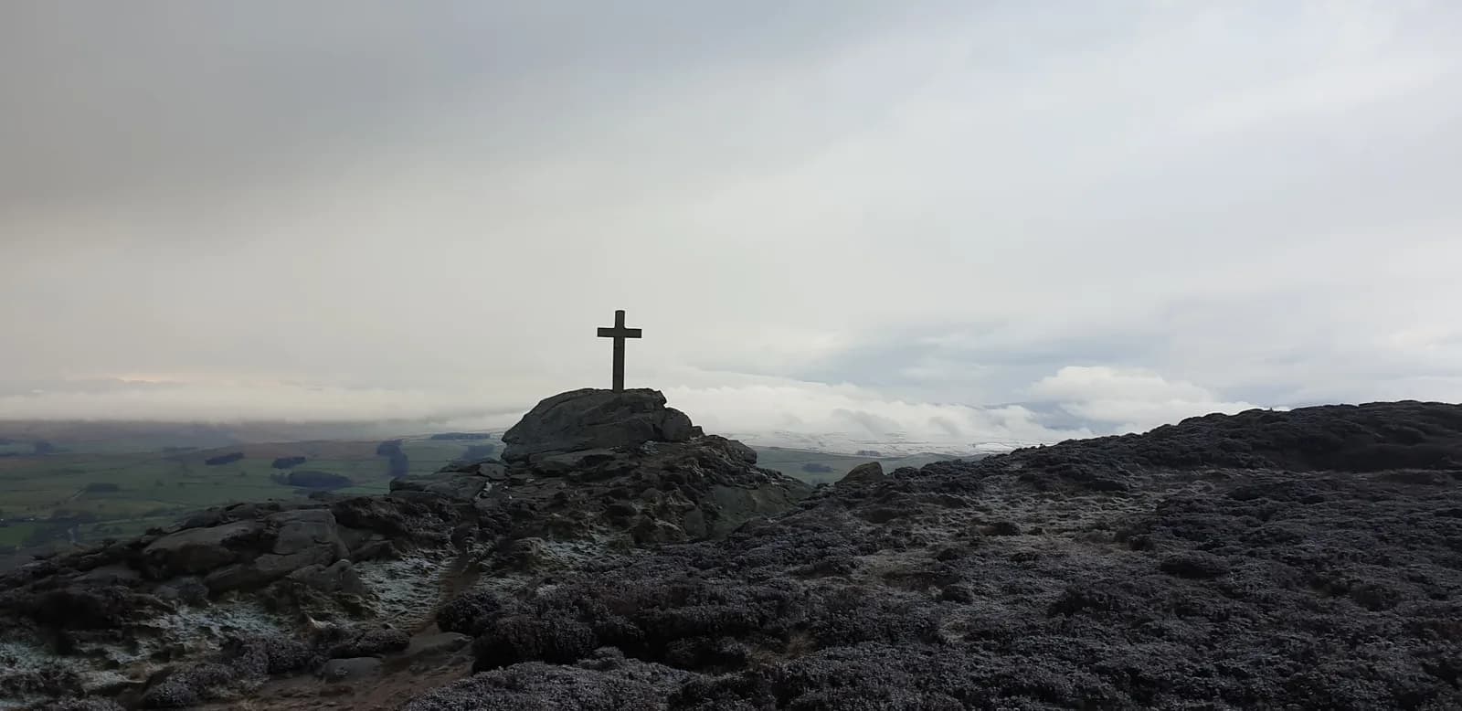 HARD
HARD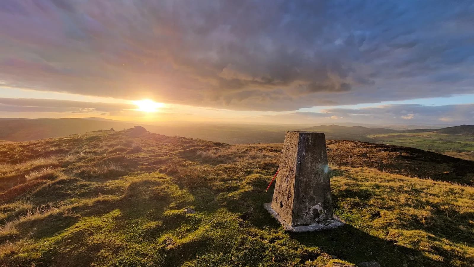 MODERATE