Pen-y-ghent via Horton-in-Ribblesdale
A steep rocky staircase earns you far-reaching views over the Three Peaks and the Ribble Valley.
Effort: Moderate distance, manageable climb
Underfoot: Open fell or rough terrain
E2·T3 — how we grade routesA steep rocky staircase earns you far-reaching views over the Three Peaks and the Ribble Valley.
The classic ascent of Pen-y-ghent from Horton, following the Pennine Way up the stepped south ridge to the summit at 694m.
The route
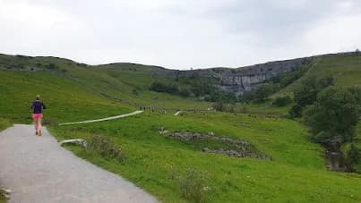
Starting from the pay-and-display car park in Horton-in-Ribblesdale, the route heads south through the village before joining the Pennine Way. The path crosses open limestone pasture before the gradient steepens on the approach to the south ridge.
The south ridge
The upper section involves a short scramble over limestone and gritstone steps — hands useful, nothing technical. The path is well-worn and clear throughout. The summit plateau is broad, with a trig point and stone shelter.
The descent
The Pennine Way continues north-east off the summit before dropping back down to Horton via Hull Pot, a large open pothole worth a short detour to see. Total round trip is around 10km with 430m of ascent.
Steep rocky steps on the upper south ridge — slippery when wet. No shelter on the summit plateau in wind. Hull Pot is an unfenced open pothole — keep dogs on lead nearby.
Summits on this route


Safety on this route
- No signal? Text 999 — pre-register first: text register to 999
- Tell someone your route and expected return time before you head out
Common questions
More routes in Yorkshire Dales
 HARD
HARD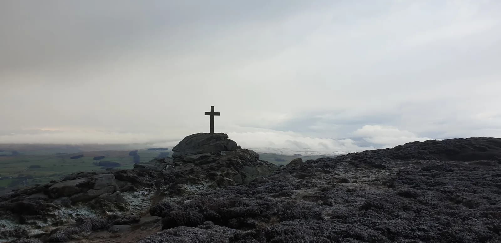 HARD
HARD MODERATE