Welcome to Skipton
The full Skipton picture in one run: moor above, canal below, and the Craven countryside in between. A proper long day out from one of the best trail running towns in the Dales.
Effort: Long day out, serious climb
Underfoot: Some uneven or off-path ground
E4·T2 — how we grade routesThe full Skipton picture in one run: moor above, canal below, and the Craven countryside in between. A proper long day out from one of the best trail running towns in the Dales.
A 22km exploration of Skipton and the surrounding Craven countryside combining moorland, canal towpath, and valley paths in a single long circuit from the town centre.
The route
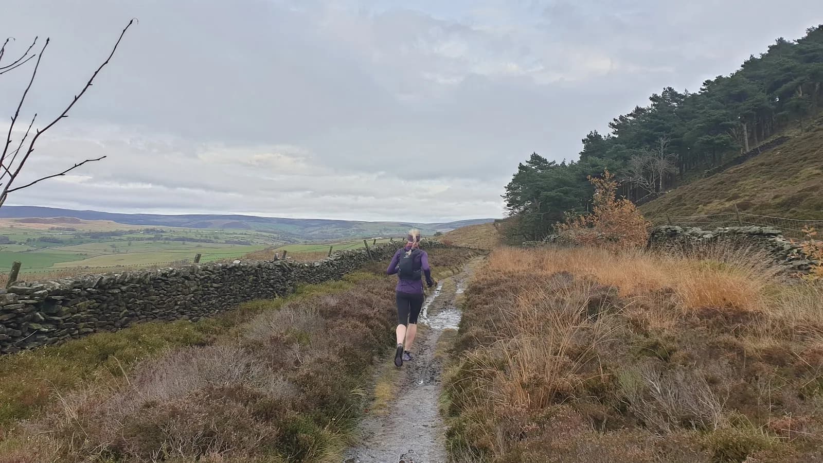
Starting from Skipton town centre, the route covers the full sweep of the area accessible from the town: the moor to the northwest, the Aire Valley and canal to the south, and the surrounding countryside of Craven in between.
From town, the route climbs onto Skipton Moor via Shortbank Road, reaching the plateau at around 372m with its wide views over the dale. From the moor, the descent takes the route through the Craven countryside, picking up the Leeds€“Liverpool Canal towpath for a flat, direct section before looping back through the woods and field paths north of town.
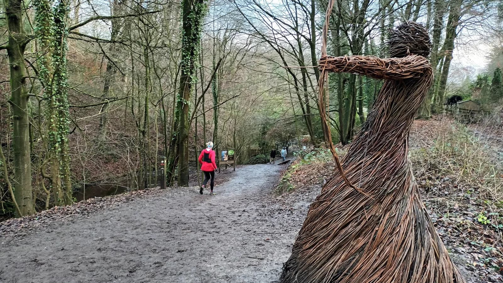
The return to Skipton covers the final kilometres through the castle woodland and back into the town centre via the canal basin. At 22km this is a full morning out rather than a quick circuit - plan nutrition and water accordingly.
Note on elevation data
The GPX file for this route does not contain elevation data, so ascent figures are unavailable. Based on the terrain covered - Skipton Moor (372m), the canal towpath (approximately 120m), and the surrounding countryside - expect roughly 300€“350m of cumulative ascent across the full circuit. This will feel noticeably more than the reservoir routes but less than a full fell day.
Skipton as a starting point
Few market towns in the north give you this range of terrain from the front door. The combination of direct rail access, proper moor within 30 minutes of the station, and good paths throughout the surrounding countryside makes Skipton one of the most convenient trail running bases in the Dales.
This circuit is a good introduction to what the town has to offer before focusing on specific sections. The shorter Skipton circuits - moor only (6.3km), canal and Stirton (8.3km), moor to Bradley via canal (11.2km) - are the building blocks; this route combines them into a single longer outing.
Post-run
Skipton has the town centre facilities to make a proper day of it: cafes, pubs (The Devonshire Arms is the standard recommendation), a market on Mondays and Saturdays, and the castle if you want something to look at while your legs recover.
Grouse shooting August to December on Skipton Moor - check for flags. No elevation data in GPX; carry map and plan carefully for this distance.
Summits on this route


Safety on this route
- No signal? Text 999 — pre-register first: text register to 999
- Tell someone your route and expected return time before you head out
Common questions
More routes in Yorkshire Dales
 EASY
EASY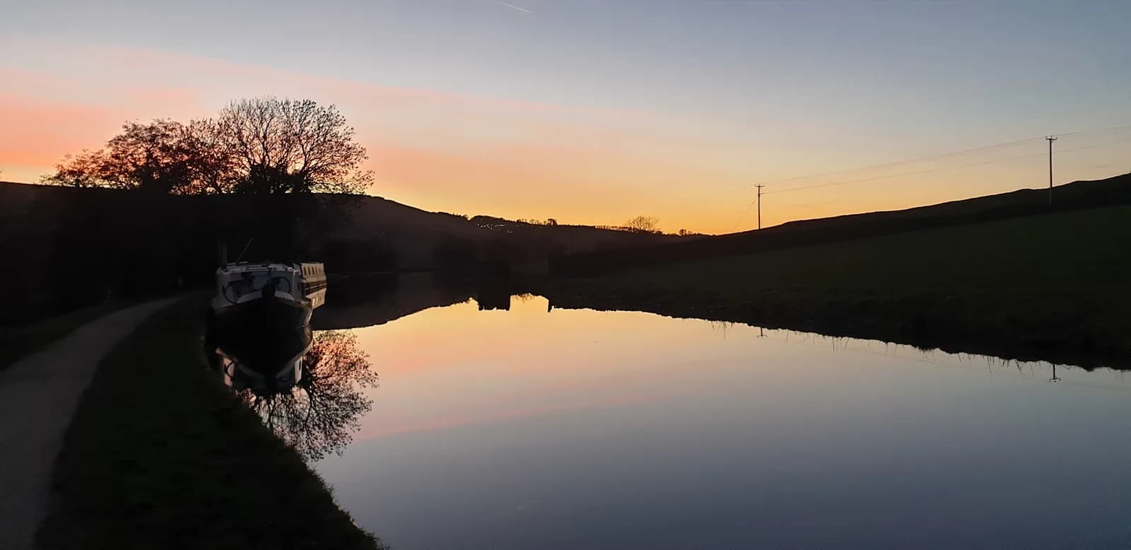 MODERATE