Hawes Valley Circuit
Upper Wensleydale on a clear day is hard to beat. Wide green dale, limestone walls, and the noise of Hawes market town fading behind you as the meadows take over.
Effort: Moderate distance, manageable climb
Underfoot: Mostly paths and tracks
E2·T1 — how we grade routesUpper Wensleydale on a clear day is hard to beat. Wide green dale, limestone walls, and the noise of Hawes market town fading behind you as the meadows take over.
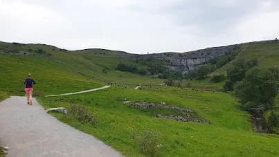
A 10.3km circuit from Hawes through the meadows and villages of upper Wensleydale. Flat, well-signed, and fully accessible year-round - ideal as a first Dales run.
The route
Starting from the National Park car park on Gayle Lane in Hawes, the route runs south through the market town and out into the meadows that frame upper Wensleydale. The valley floor here is a patchwork of traditional hay meadows - some of the best surviving examples in the Dales - with the River Ure running to the north and the fells rising steeply on both sides.
The circuit follows field paths and farm tracks southwest toward Gayle, the small hamlet directly south of Hawes, before looping back through open meadow to the start. The terrain is consistent throughout: firm grass tracks, occasional stone paths, and regular stile-and-gate crossings. Total ascent is around 46m - the route barely rises above the valley floor.
What the valley gives you
Hawes is the highest market town in England, sitting at 260m in the head of Wensleydale. The surrounding valley has a different character to the limestone dales further south - wider, greener, with a more agricultural feel. The meadows south of town are Sites of Special Scientific Interest, managed for traditional flower-rich grassland that disappears most of the year and explodes in colour from May to July.
The route is deliberately straightforward - it's the kind of run you do on arrival to get a feel for the area before committing to something more serious. The Pennine Way passes through Hawes and the surrounding fells offer longer routes when you're ready for them.
Hawes as a hub
Hawes is well-equipped for trail runners: proper cafes, a bakery, the Wensleydale Creamery (cheese required), and a range of accommodation. The Dales Museum and Firebox Cafe are a two-minute run from the car park start. The Little White Bus connects to Garsdale railway station on the Settle€“Carlisle line, making this accessible without a car - unusually for this part of the Dales.
Note on route naming
This GPX file was originally recorded as a New Year's Day activity. The route content is unchanged - the name has been updated to reflect the terrain rather than the occasion.
Stile crossings throughout - not suitable for dogs that can't manage stiles. Meadow paths can be soft after prolonged rain. Route passes through working farmland year-round.


Common questions
More routes in Yorkshire Dales
 HARD
HARD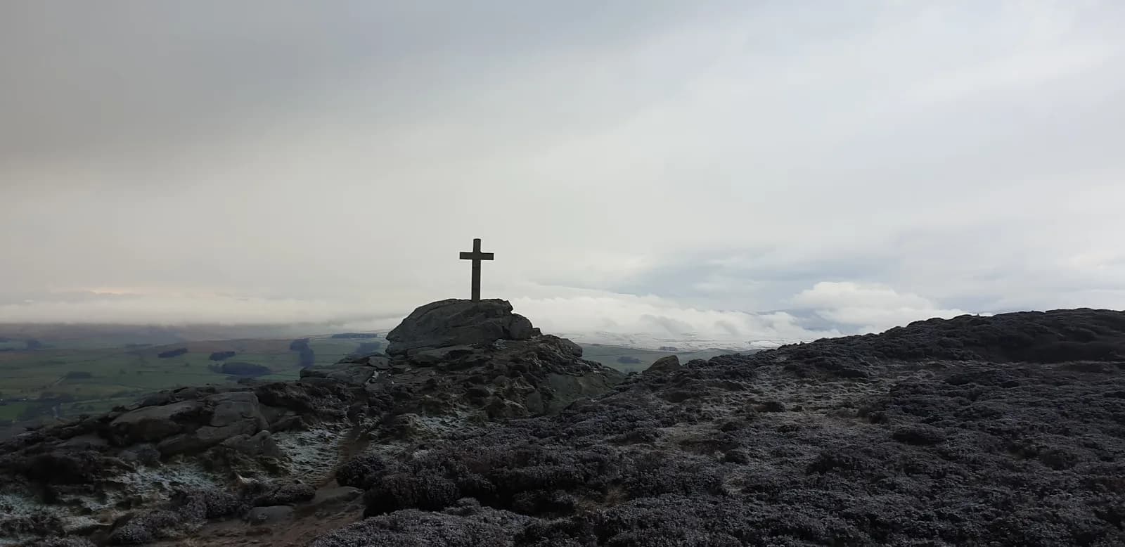 HARD
HARD MODERATE