Helvellyn Double
It takes two of the Lake District's best-known summits and links them properly, so instead of picking Fairfield or Helvellyn for the day, you get both, with the climbing to prove it.
Effort: Ultra distance and major ascent
Underfoot: Technical, navigation required
E5·T4 — how we grade routesNo photos of this route yet. Sign in to add one
A 36.7km, 2,856m ultra from Ambleside that runs the Fairfield ridge to Nab Scar, Heron Pike, Great Rigg and Fairfield, then crosses Grisedale Hause to Helvellyn's summit and back for a second pass near the top before returning.
It takes two of the Lake District's best-known summits and links them properly, so instead of picking Fairfield or Helvellyn for the day, you get both, with the climbing to prove it.
The route
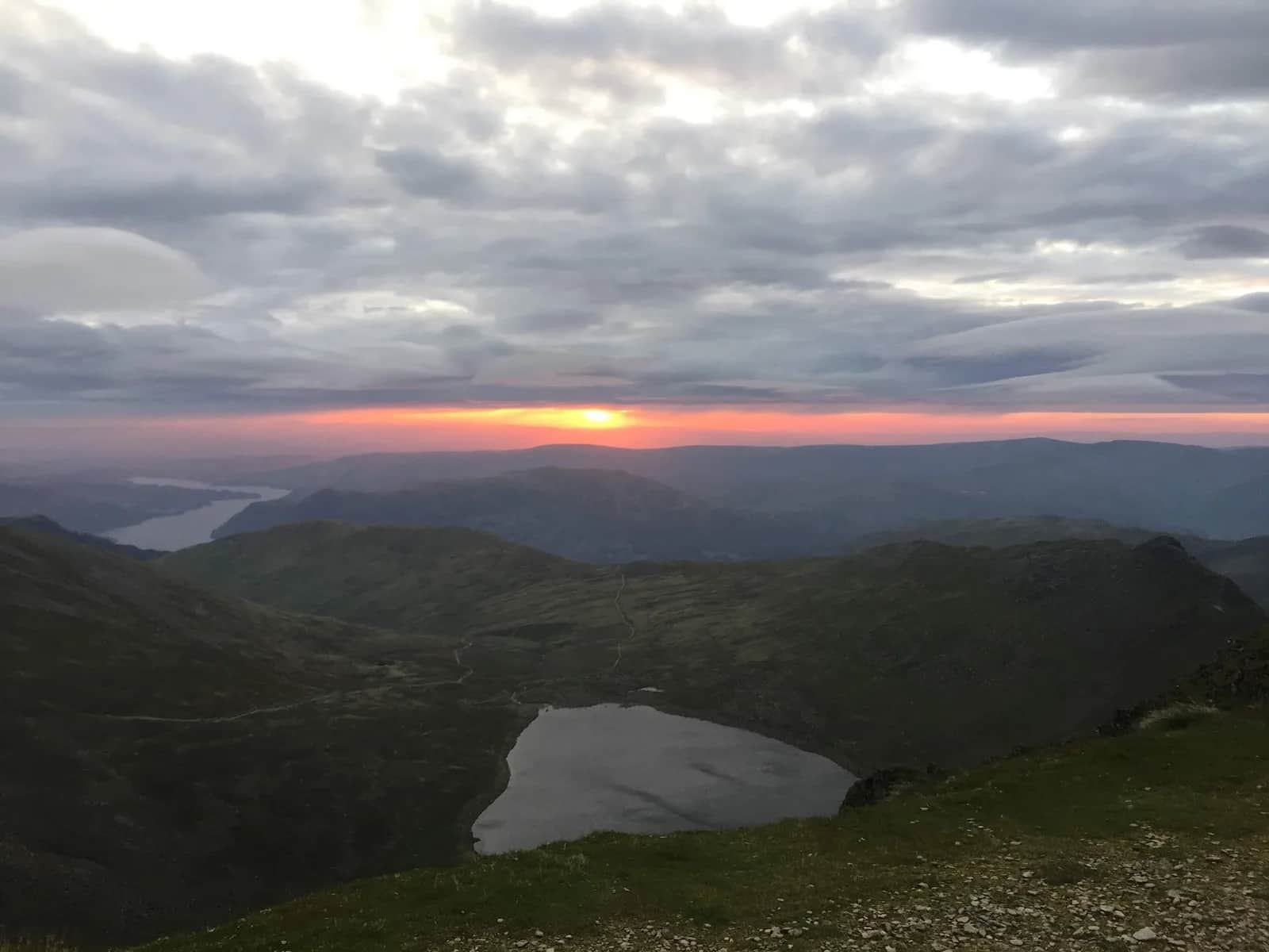
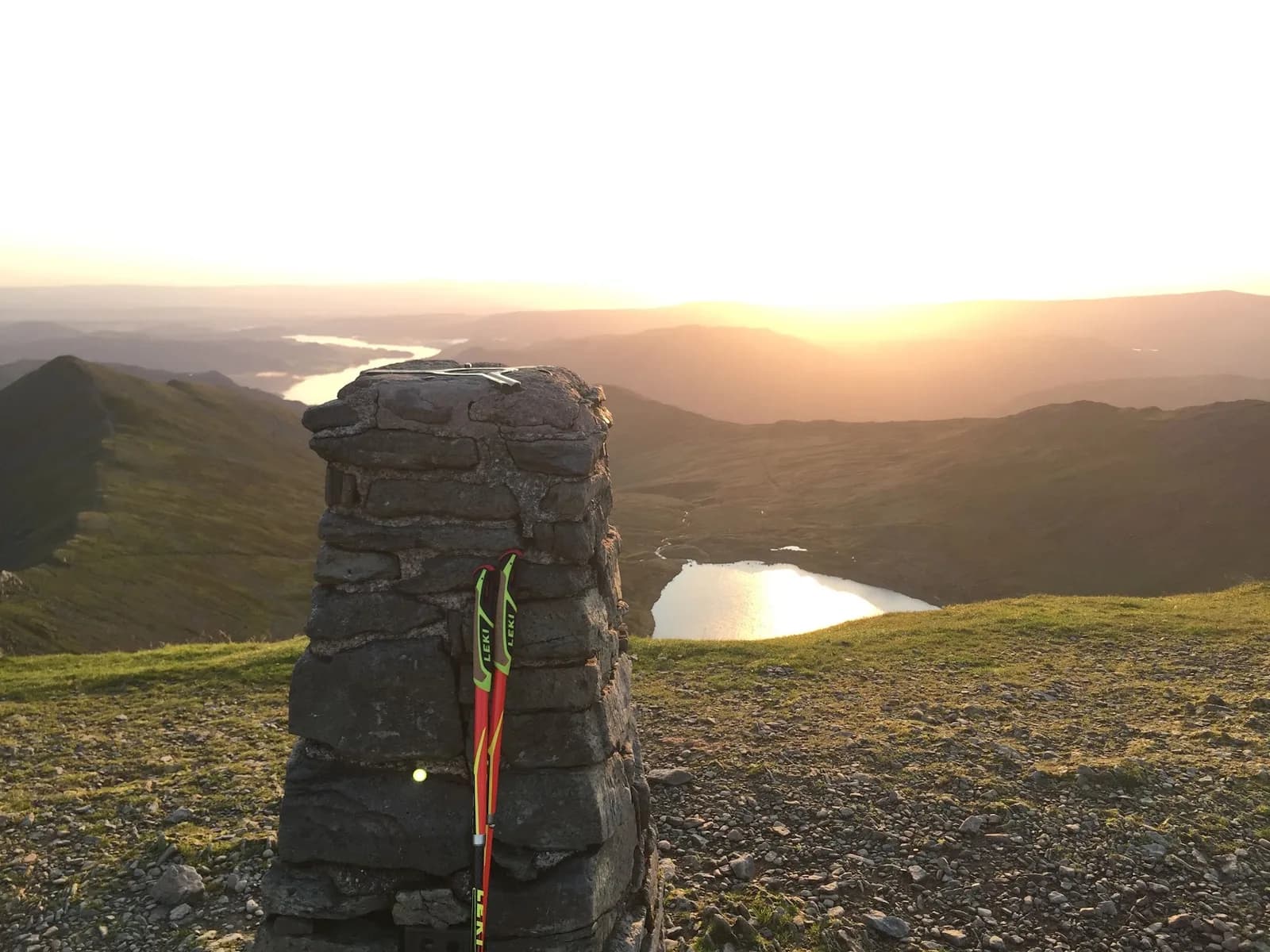
This starts the same way as the classic Fairfield Horseshoe, climbing out of Ambleside past Rydal onto Nab Scar, then following the ridge over Heron Pike and Great Rigg to Fairfield's summit at 873m. From there the route drops off the western side of the plateau, loses height down Grisedale Hause, and climbs again onto Helvellyn, England's third-highest peak at 950m. The track shows two separate close passes near Helvellyn's top rather than one clean tag and turnaround, which is where the double in the name comes from - you spend real time on the high ground up there before committing to the return.
Why the numbers are what they are
2,856m of ascent over 36.7km is a big day by any measure, more climbing than the extended version of the horseshoe despite covering less ground. That's the cost of the Grisedale Hause link: steep, loose, and unforgiving in both directions, with no flat recovery section to bank time on. Treat this as a mountain ultra rather than a long trail run - fuel and pace it that way.
Getting back
The return follows the same line back over Grisedale Hause and Fairfield before dropping south down the horseshoe's western arm past Great Rigg, Heron Pike and Nab Scar into Rydal and back to Ambleside. By the time you're back on the Fairfield plateau for the second time, cloud or fading light can make the flat summit genuinely difficult to read, so this isn't one to start late in the day or without a backup plan if the weather turns.
When to go
Spring through autumn gives you the best chance of a clear ridge and a runnable Grisedale Hause. In winter this becomes a proper mountaineering objective - the col holds snow and ice long after the valleys have cleared, and the exposed high ground between Fairfield and Helvellyn is no place to be caught out without the right kit.

Partner · affiliate policy
Grisedale Hause is loose scree in both directions and sits a long way from any easy escape route. Fairfield's flat summit plateau is disorientating in cloud, and this route crosses it twice - once on tired legs on the way back.
Summits on this route
Safety on this route
- No signal? Text 999 — pre-register first: text register to 999
- Tell someone your route and expected return time before you head out
Leave No Trace
- Leave nothing but footprints, take nothing but memories.
- Please respect the countryside and all its inhabitants.
- Dogs on leads near livestock, and around ground-nesting birds from March to July.
- Gates as you find them — open or closed, leave it that way for the farmer and the next runner.
- Take it all home — wrappers, peel, tissue, the lot. It doesn't count as biodegradable if you can still see it.
- Stick to the path where the ground either side is wet, planted, or nesting habitat.
Common questions
- Most runners complete Helvellyn Double in 6 hours 30 minutes to 8 hours 50 minutes, depending on pace and conditions.
Run by us· last checked July 2026
Jason Millward has run this route and written it up from the ground. How we check routes
About the author
Runner reports
(1)Ran this route? Rate it, share conditions, log your time — helps other runners plan their day.
1 report in the last 12 months · latest 25 days ago
1 runner report so far
4 more reports and we'll show the ratings here. Ran it? Add yours below.
This was my go to route when training for the Lavaredo 120 km race in the Dolomites. I wanted the toughest route I could find that wasn't too far from Staveley where I was working and this is what I came up with. Fairfield and Helvellyn twice in a single outing - what's not to love.



Routes nearby
Start from a town: Ambleside 1.5 km · Windermere 8.3 km · Coniston 10.2 km
 EXPERT
 VERY HARD
 HARD
HARDRaces on this ground
All Lake District races →Races starting within 20 km of the Helvellyn Double start, nearest first. If you are entered for one, this route is the rehearsal.
10
Jul
2027
Lakeland Trails Ultra
Ambleside, Cumbria · Lakeland Trails · 1 miles away
A hundred kilometres from a minute past midnight, or fourteen in the morning.
HARD TO EXPERT
Entries open
20
Mar
2027
Grasmere Wild Trail Runs
Grasmere Lakeland Sports & Show Stock Ln, Grasmere, Ambleside La22 9Sj · Wild Deer Events · 2 miles away
Five, ten or twenty-one kilometres from the Grasmere showfield.
HARD
Not open yet
4
Jun
2027
provisional

Stickle Grind 650
Sticklebarn, Great Langdale, Cumbria · Lake District Sky Trails · 5 miles away
Two and a half kilometres, 650 metres up. Straight up Stickle Ghyll.
Not open yet
5
Jun
2027
Scafell Sky Ultra
Sticklebarn, Great Langdale, Cumbria · Lake District Sky Trails · 5 miles away
Sixty kilometres and 4,400 metres of ascent — their biggest day out.
Entries open