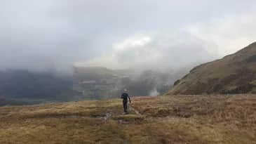
Tour de Helvellyn
A genuine ultra-distance day that shows you the Helvellyn range from every angle without ever queuing for Striding Edge - based on the established Tour de Helvellyn race route.
Effort: Ultra distance and major ascent
Underfoot: Open fell or rough terrain
E5·T3 — how we grade routesNo photos of this route yet. Sign in to add one
A huge 58.6km circuit of the Helvellyn massif starting near Askham, following valleys and lower ridges the whole way round with 2,129m of climbing rather than a direct summit route.
A genuine ultra-distance day that shows you the Helvellyn range from every angle without ever queuing for Striding Edge - based on the established Tour de Helvellyn race route.
The route
This route mirrors the established Tour de Helvellyn ultra event, which starts and finishes near Askham on the quiet eastern edge of the Lake District and circles the entire Helvellyn massif rather than climbing straight over the top. From the start, the route works its way through the valleys and lower fells around Martindale, Boredale and Dockray before swinging past Ullswater and Matterdale on the return leg.
Circling, not summiting
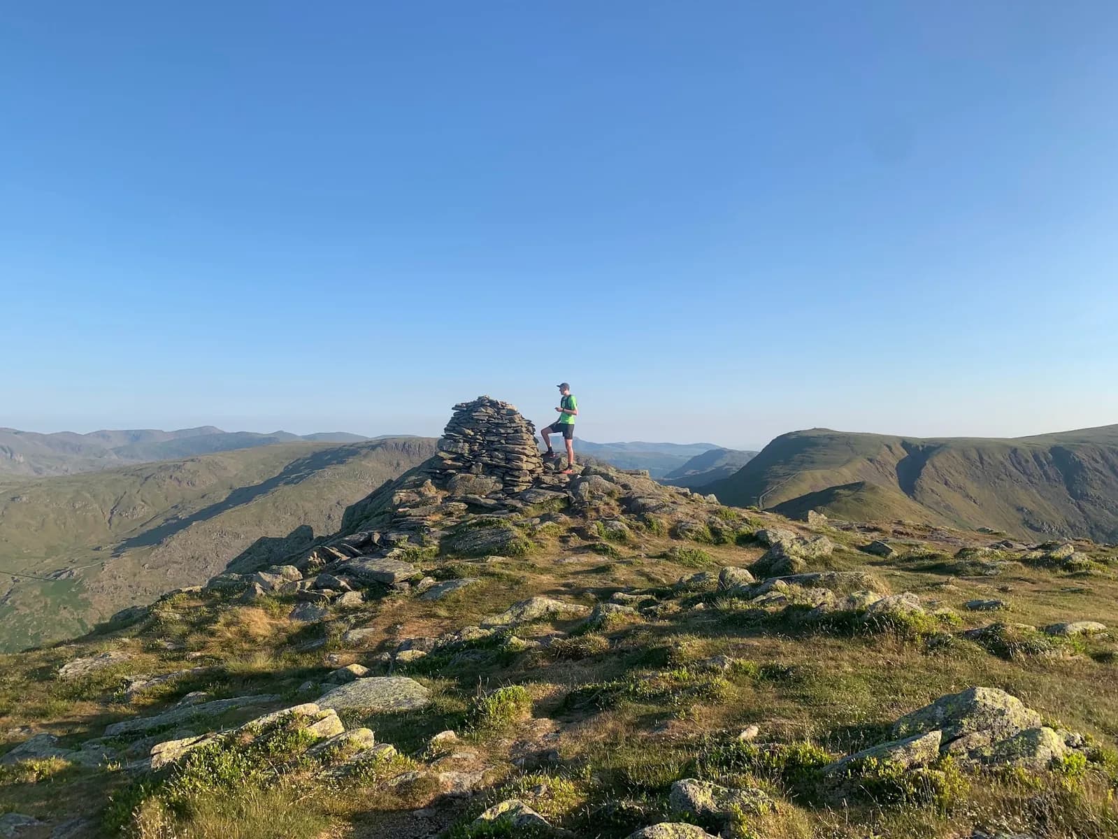
With a maximum elevation of 748m against Helvellyn's actual 950m summit, this is deliberately a tour rather than a direct ascent - you get Helvellyn as a constant presence on the skyline, viewed from Loadpot Hill, Wether Hill and the other rolling tops of the eastern fells, rather than crammed onto Striding Edge with everyone else. It's a genuinely different way to experience one of the Lake District's most famous mountains.
Why it works
At 58.6km with 2,129m of ascent, this is squarely ultra-distance territory, and the appeal is completeness rather than technicality - long valley running, quiet fellside traverses, and a real sense of covering serious ground over a full day. That matches the established Tour de Helvellyn race, which covers around 38 miles with roughly 2,000m of ascent.
Getting there
This is a long way from anywhere with reliable public transport, so plan your own transport to Askham or the Dockray/Aira Force area, and be self-sufficient with food, water and navigation for the whole distance. Treat this as an event-distance effort rather than a casual long run - pacing, fuelling and layering decisions all matter more here than on any of the shorter routes on this site, and it's worth practising your nutrition plan on smaller Lake District days before committing to the full circuit.

Partner · affiliate policy
A genuinely long day on remote fellside with multiple valley crossings - weather can change fast at this scale and there's no quick way out partway round. Winter brings ice on the higher sections; carry appropriate kit outside summer months.
Safety on this route
- No signal? Text 999 — pre-register first: text register to 999
- Tell someone your route and expected return time before you head out
Leave No Trace
- Leave nothing but footprints, take nothing but memories.
- Please respect the countryside and all its inhabitants.
- Dogs on leads near livestock, and around ground-nesting birds from March to July.
- Gates as you find them — open or closed, leave it that way for the farmer and the next runner.
- Take it all home — wrappers, peel, tissue, the lot. It doesn't count as biodegradable if you can still see it.
- Stick to the path where the ground either side is wet, planted, or nesting habitat.
Common questions
- Most runners complete Tour de Helvellyn in 8 hours 10 minutes to 11 hours 5 minutes, depending on pace and conditions.
Run by us· last checked July 2026
Jason Millward has run this route and written it up from the ground. How we check routes
About the author
Runner reports
Nobody's logged a run here yet. If you get out on it, a few lines about how it went helps the next person plan their day.



Routes nearby
 VERY HARD
 VERY HARD
 EXPERT
 VERY HARD
 VERY HARD
Races on this ground
All Lake District races →Races starting within 20 km of the Tour de Helvellyn start, nearest first. If you are entered for one, this route is the rehearsal.
19
Dec
2026

Tour de Helvellyn
Askham Community Centre, Askham, Cumbria · NAV4 Adventure · 0 miles away
A winter circuit of Helvellyn from Askham, unmarked, on the shortest Saturday of the year.
EXPERT
Entries open
10
Apr
2027
Lakes Mountain 40
Askham Community Centre, Askham, Cumbria · NAV4 Adventure · 0 miles away
Forty fell miles over Helvellyn and High Street, unmarked, off at dawn.
Entries open
31
Oct
2026
Ullswater Way & Challenge
Parkin Memorial Hall, Pooley Bridge, Cumbria · NAV4 Adventure · 3 miles away
The waymarked Ullswater Way, or four extra miles over the high path above Glencoyne.
Entries open
6
Mar
2027
Daffodil Run & Walk
Pooley Village Hall, Pooley Bridge, Cumbria · NAV4 Adventure · 3 miles away
Thirteen miles out and back from Pooley Bridge, as much or as little as you like.
Entries open