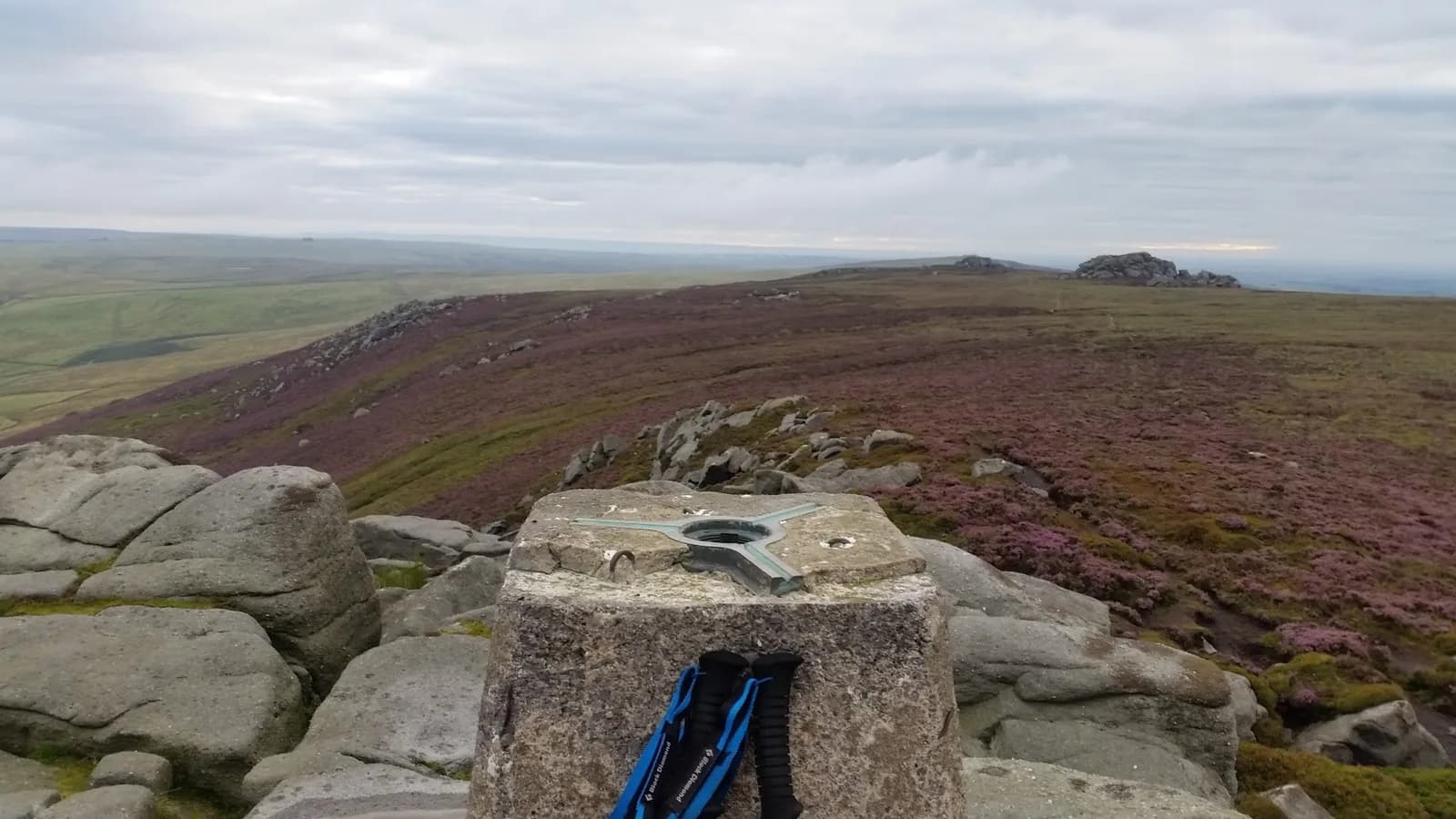
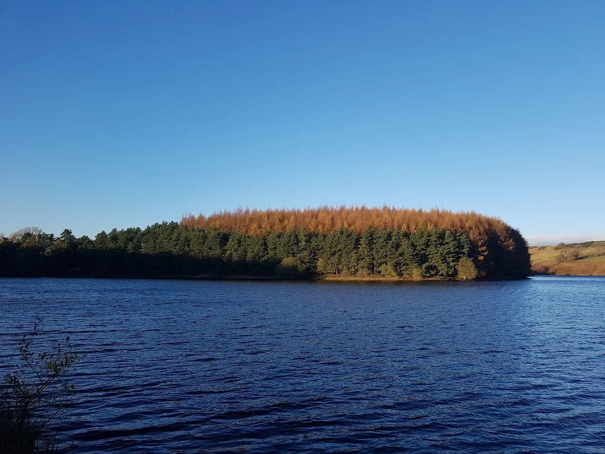
Simon's Seat from Thruscross Reservoir
This route crosses two distinct landscapes in one loop - the flooded Washburn Valley around Thruscross, then the high gritstone fell of Simon's Seat - with barely any road between them.
Effort: Long day out, serious climb
Underfoot: Technical, navigation required
E4·T4 — how we grade routesAlmost entirely runnable — minimal steep sections.
This route crosses two distinct landscapes in one loop - the flooded Washburn Valley around Thruscross, then the high gritstone fell of Simon's Seat - with barely any road between them.
A long loop from Thruscross Reservoir in the Washburn Valley, crossing into Yorkshire Dales National Park to reach Simon's Seat at 479m before looping back. 28.7km, 407m of ascent, crossing grouse moor and open fell.
The route
This loop starts at Thruscross Reservoir in Nidderdale, climbs out of the Washburn Valley, and crosses the boundary into Yorkshire Dales National Park to take in Simon's Seat before returning. At 28.7km with 828m of ascent, it's the longest and most demanding route in this set, and the distance is spread across genuinely varied ground rather than one repeated climb.
The reservoir start
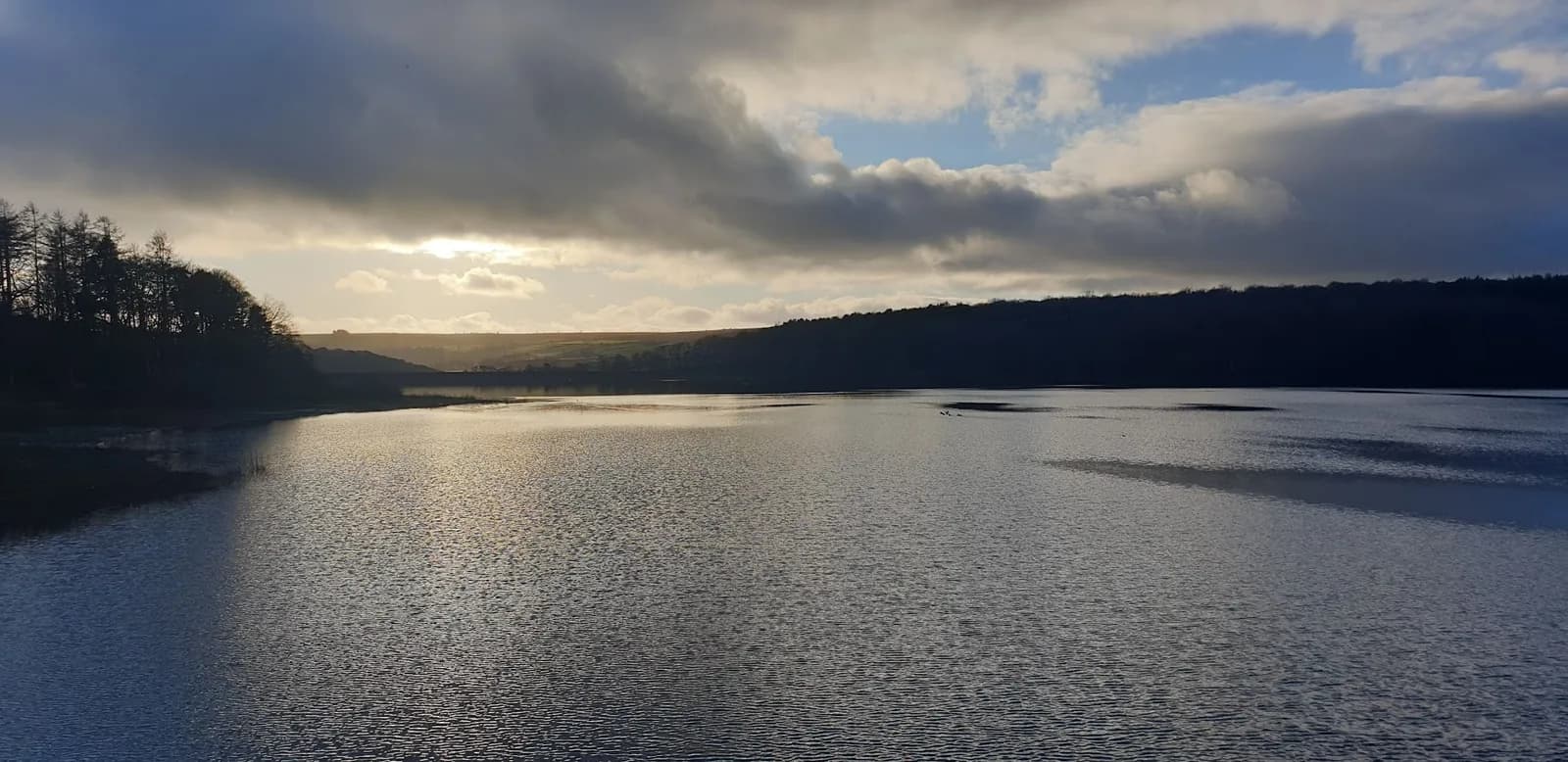
Thruscross Reservoir was built in 1966, flooding the former village of West End - in dry spells, remnants of the old settlement can still be seen as the water level drops. The reservoir sits in the southern part of Nidderdale, and the Yorkshire Water car park here is the obvious place to start, though it's pay-and-display by card or RingGo, with no cash option.
Simon's Seat
Simon's Seat tops out at 485m, a prominent outcrop of millstone grit on the eastern side of Wharfedale, and reaching it means crossing Barden Fell - open access land managed by Bolton Abbey Estate as grouse moor. There's no public right of way directly to the summit, so the approach follows a permissive route via the Valley of Desolation, and in poor visibility this stretch needs proper map skills rather than guesswork. The ground here is peaty and can be genuinely boggy underfoot, particularly after rain.
Access and hazards
Grouse shooting runs from 12 August to 10 December, with no shooting on Sundays, and outside that window the moor is open. One rule applies regardless of season: dogs are not permitted on Barden Fell, so this isn't a route to bring one along for. Combined with the distance and the remoteness of the high section, this is a route to save for good visibility and a day when you're confident navigating without obvious paths to follow.
Why it works
What makes this loop worth the effort is the contrast - flooded valley, working grouse moor, and a genuine Dales summit with a name and a history, all in one continuous run. It's a route for runners who've done the shorter Wharfedale loops and want to step up to something that demands more from both legs and navigation.
No public right of way to the summit - the approach via the Valley of Desolation needs map skills in poor visibility, and the ground is peaty and boggy underfoot in places. Grouse shooting runs 12 August to 10 December (no shooting Sundays), and dogs are not permitted on Barden Fell at any time of year.
Summits on this route


Safety on this route
- No signal? Text 999 — pre-register first: text register to 999
- Tell someone your route and expected return time before you head out
Leave No Trace
- Leave nothing but footprints, take nothing but memories.
- Please respect the countryside and all its inhabitants.
- Dogs on leads near livestock, and around ground-nesting birds from March to July.
- Gates as you find them — open or closed, leave it that way for the farmer and the next runner.
- Take it all home — wrappers, peel, tissue, the lot. It doesn't count as biodegradable if you can still see it.
- Stick to the path where the ground either side is wet, planted, or nesting habitat.
Common questions
About the author
Runner reports
Ran this route? Log your time, rate it, share conditions — helps other runners plan their day.
No runs logged yet — be the first.
More routes in Nidderdale
 MODERATE
 MODERATE
 EASY
EASY