Fewston and Swinsty Reservoir Loop
Two reservoirs for the price of one, connected by well-graded Yorkshire Water tracks. Quiet, well-maintained, and a reliable choice when everywhere else is ankle-deep.
Effort: Moderate distance, manageable climb
Underfoot: Mostly paths and tracks
E2·T1 — how we grade routesMostly on runnable ground, but most runners still walk the steepest climbs.
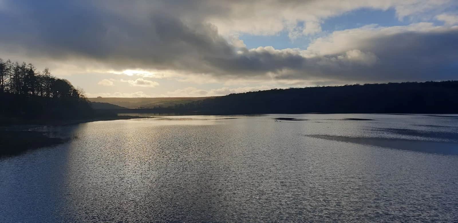
A 10.3km circuit around the adjacent Fewston and Swinsty Reservoirs in the Washburn Valley - good gravel tracks, minimal climbing, and reliable year-round conditions.
Two reservoirs for the price of one, connected by well-graded Yorkshire Water tracks. Quiet, well-maintained, and a reliable choice when everywhere else is ankle-deep.
The route
Starting from the Swinsty Moor car park at the southern end of the Fewston embankment (LS21 2NP), the route runs north along the eastern shore of Fewston Reservoir, crossing the embankment at the northern end to pick up the western shore. The return follows the western edge of Swinsty Reservoir - the more southerly of the two - before cutting back across the embankment to the start.
The two reservoirs are managed by Yorkshire Water and the surrounding land is maintained as public access. The tracks are well-graded gravel, wide enough to run freely, and stay in good condition even after prolonged wet weather. It's one of the most reliable all-season routes in the area.
Total distance is 10.3km with minimal elevation change - the loop climbs around 41m in total and the surrounding tracks barely deviate. This makes it fast underfoot and good for tempo efforts or recovery runs when you don't want to think about the ground.
Washburn Valley
Fewston and Swinsty sit in the southern end of the Washburn Valley, part of the Nidderdale National Landscape. The valley was flooded in the 19th and early 20th centuries to supply water to Leeds - four reservoirs in a chain, each feeding the next. The water held here is treated and gravity-fed to the city below.
The birdlife is a reliable secondary attraction. The reservoir margins attract waders and wildfowl year-round, and the surrounding woodland holds resident woodland species. If you're moving at an easy pace, you'll hear them before you see them.
For a longer day, this circuit connects naturally with the Swinsty Reservoir loop to the south, or can be extended northward to incorporate Thruscross. See the combined reservoir routes for both options.
Practical notes
The terrain is genuinely flat, with around 41m of ascent across the whole loop. The car park at Swinsty Moor has toilets (including accessible RADAR facilities) and there is sometimes an ice cream van present. No cafe on site; nearest is Otley, 8km south.
Height barriers at both car parks (2.1–2.2m) - not suitable for high vehicles. Tracks shared with cyclists and other users.
Leave No Trace
- Leave nothing but footprints, take nothing but memories.
- Please respect the countryside and all its inhabitants.
- Dogs on leads near livestock, and around ground-nesting birds from March to July.
- Gates as you find them — open or closed, leave it that way for the farmer and the next runner.
- Take it all home — wrappers, peel, tissue, the lot. It doesn't count as biodegradable if you can still see it.
- Stick to the path where the ground either side is wet, planted, or nesting habitat.
Common questions
About the author
Runner reports
Ran this route? Rate it, share conditions, log your time — helps other runners plan their day.
No runner feedback yet
Be the first to run this and report back — ratings appear once a few runners have shared their experience.
No runs logged yet — be the first.


More routes in Nidderdale
 HARD
HARD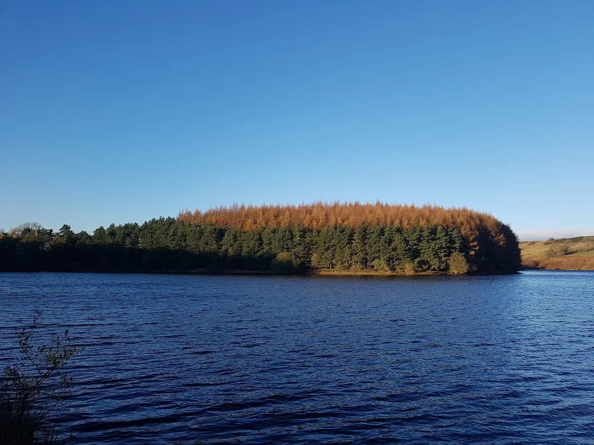 EASY
EASY MODERATE