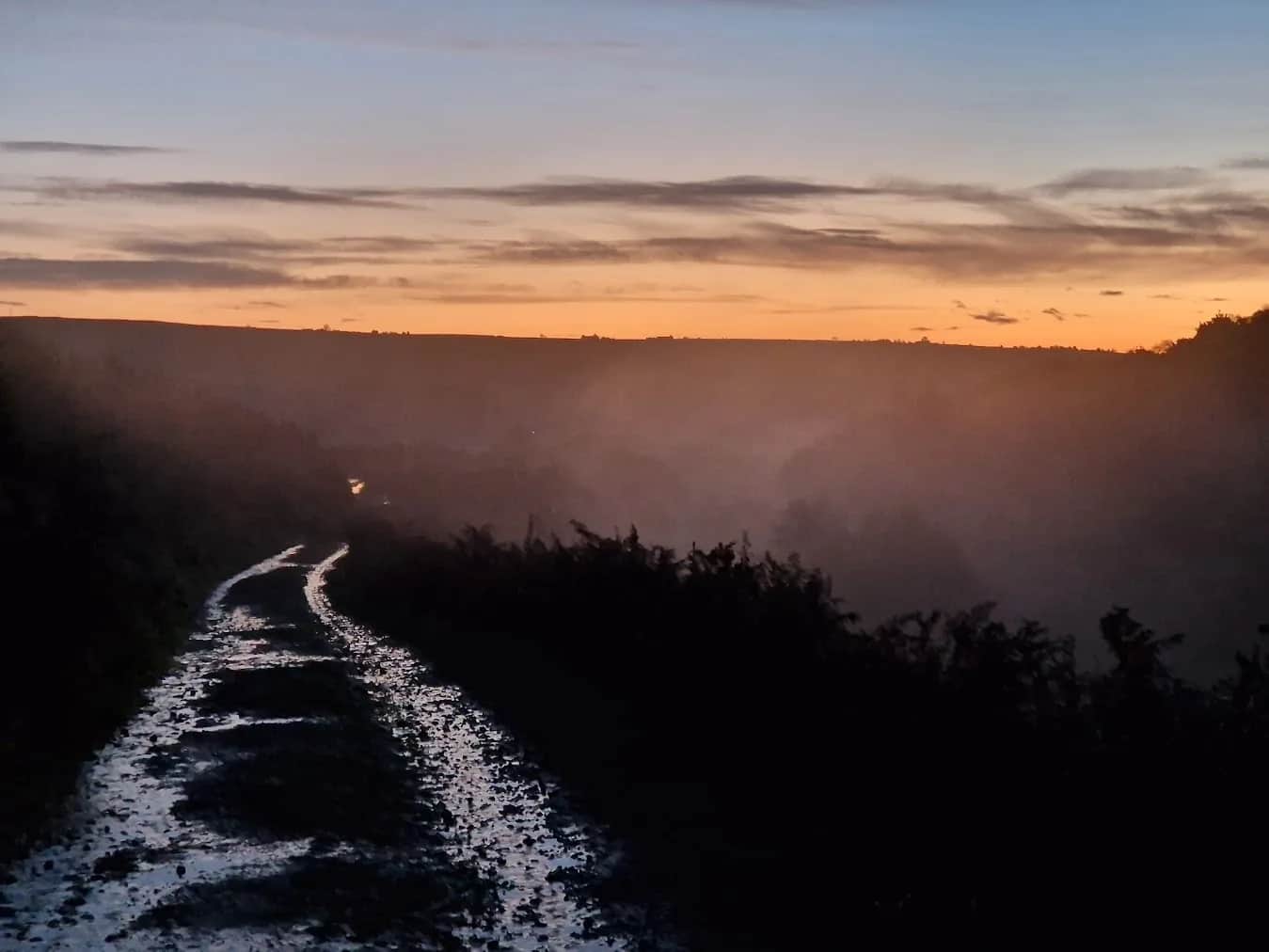
Pateley Bridge Trail Running Route
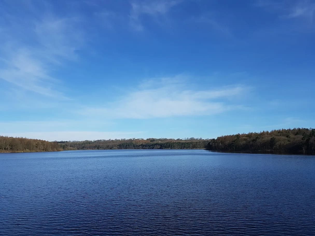
You run out towards a reservoir famous for its birdlife and back down the upper Nidd valley, framed by moor tops, from one of Yorkshire's most likeable little towns.
Effort: Moderate distance, manageable climb
Underfoot: Some uneven or off-path ground
E2·T2 — how we grade routesNo photos of this route yet. Sign in to add one
A 13.1km loop from Pateley Bridge up Nidderdale, with 281m of climbing. Riverside and reservoir trails, valley-side paths and one of the prettiest dales in the north.
You run out towards a reservoir famous for its birdlife and back down the upper Nidd valley, framed by moor tops, from one of Yorkshire's most likeable little towns.
The route
This 13.1km loop starts in Pateley Bridge, the small town at the heart of Nidderdale, and heads up the valley toward Gouthwaite Reservoir before looping back. With 281m of climbing spread across the distance, it is a moderate outing: enough up and down to keep it interesting, but nothing that will break your rhythm. The running mixes riverside and reservoir-side trails with valley-side paths and quiet tracks, all under the moorland skyline that hems in upper Nidderdale.
Gouthwaite Reservoir
Gouthwaite is the centrepiece. It sits in the valley above Pateley Bridge and is a designated nature reserve, well known among birdwatchers for wildfowl and waders, so keep an eye on the water as you pass. The reservoir-side sections give easy, scenic running, and the surrounding fells give the whole loop a proper dales feel without the big climbs of the higher tops.
What to expect underfoot
A mix of surfaced track, field path and rougher valley trail. It can be muddy through the fields after rain, and gates and stiles break the flow in places, but the ground is generally good and the navigation straightforward if you keep the valley as your handrail.
Why it works
Nidderdale is quieter than the honeypot dales further west, and this loop shows off its best: a characterful town, a beautiful reservoir and classic dales scenery, all in a distance you can run comfortably in a morning. Pateley Bridge itself, with its steep main street and old shops, is a reward at the finish. It also links to the wider Nidderdale Way if you want to build a longer day.
Good to know
Upper Nidderdale is genuinely quiet, so do not count on passing many people or any facilities once you leave the town; carry what you need and let someone know your plan on the longer variants. The reservoir is a nature reserve, so keep to the paths and give the birdlife space, and save a little for the climbs on the return leg, which come when the legs are already warm.

Partner · affiliate policy
Moderate and low-lying, but the upper valley is open and can feel remote in bad weather, so carry a layer. Field sections get muddy after rain, and a few sections cross farmland with livestock.
Leave No Trace
- Leave nothing but footprints, take nothing but memories.
- Please respect the countryside and all its inhabitants.
- Dogs on leads near livestock, and around ground-nesting birds from March to July.
- Gates as you find them — open or closed, leave it that way for the farmer and the next runner.
- Take it all home — wrappers, peel, tissue, the lot. It doesn't count as biodegradable if you can still see it.
- Stick to the path where the ground either side is wet, planted, or nesting habitat.
Common questions
- Most runners complete Pateley Bridge Trail Running Route in 1 hour 40 minutes to 2 hours 15 minutes, depending on pace and conditions.
Run by us· last checked July 2026
Jason Millward has run this route and written it up from the ground. How we check routes
About the author
Runner reports
Nobody's logged a run here yet. If you get out on it, a few lines about how it went helps the next person plan their day.



Routes nearby
 MODERATE
 EASY
EASY VERY HARD
 EASY
EASY MODERATE
 EASY
EASYRaces on this ground
All Nidderdale races →Races starting within 20 km of the Pateley Bridge Trail Running Route start, nearest first. If you are entered for one, this route is the rehearsal.
24
Oct
2026
Nidderdale Way
Pateley Bridge, North Yorkshire · Punk Panther · 0 miles away
The full Nidderdale Way at fifty-six miles, or a bite of it. Punk Panther's longest.
HARD TO EXPERT
Entries open
6
Oct
2026
Autumn Headtorch Half
Swinsty Reservoir, North Yorkshire · Punk Panther · 8 miles away
The autumn running of the reservoir night race.
MODERATE TO HARD
Not open yet
23
Mar
2027
Spring Headtorch Half
Swinsty Reservoir, North Yorkshire · Punk Panther · 8 miles away
A midweek night race round two reservoirs. Head torch essential.
MODERATE TO HARD
Entries open
7
Nov
2026
The Grim Reservoir Dogs
Swinsty & Fewston Reservoir car park, North Lane, near Otley · It's Grim Up North Running · 8 miles away
A run with your dog round Swinsty and Fewston reservoirs on good woodland trail, one 3.3-mile loop or two. A fun dog race, not run under canicross rules.
Entries open
£18–£29