Pateley Bridge and Cold Stones Cut
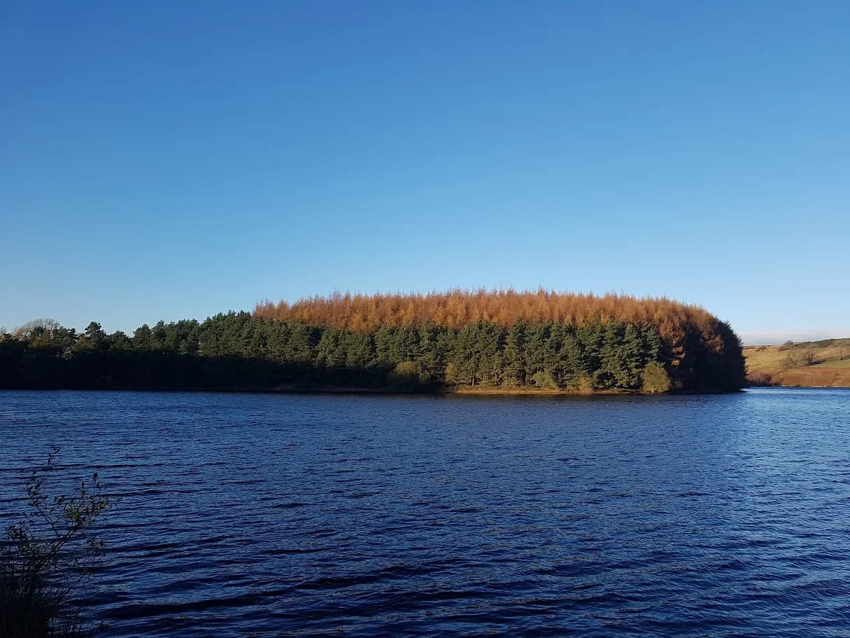
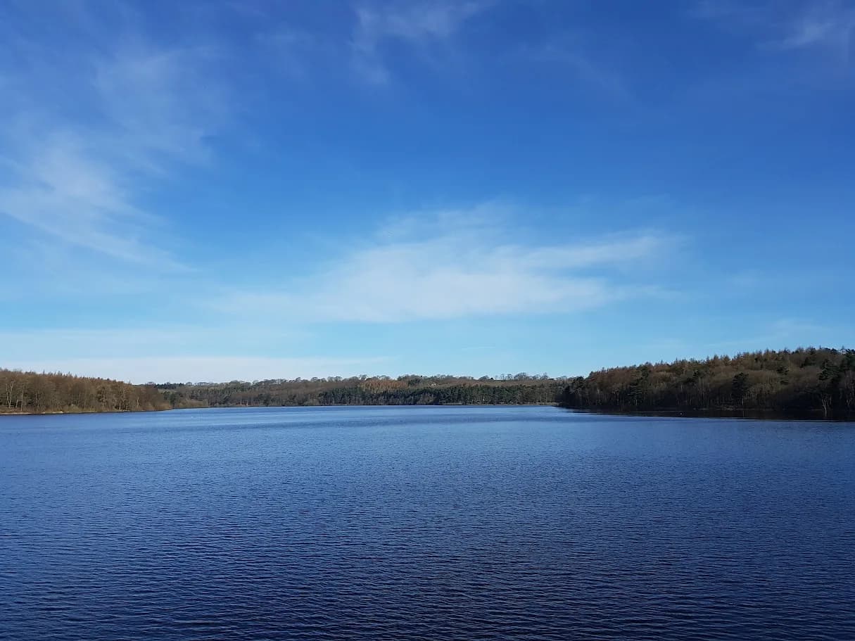
You run the length of Gouthwaite Reservoir, one of the best birdwatching waters in the north, with the moors and old lead mines of upper Nidderdale rising on either side.
Effort: Moderate distance, manageable climb
Underfoot: Some uneven or off-path ground
E2·T2 — how we grade routesNo photos of this route yet. Sign in to add one
Mostly on runnable ground, but most runners still walk the steepest climbs.
A 14.5km loop from Pateley Bridge up Nidderdale past Gouthwaite Reservoir, with around 350m of climbing on the valley sides. Classic Nidderdale running linking riverside, reservoir and old mining moor.
You run the length of Gouthwaite Reservoir, one of the best birdwatching waters in the north, with the moors and old lead mines of upper Nidderdale rising on either side.
The route
Start in Pateley Bridge and head up Nidderdale, looping around Gouthwaite Reservoir and climbing onto the valley sides before returning along the River Nidd. The route runs 14.5km with around 350m of climbing, a proper Nidderdale outing that mixes easy riverside with steeper ground on the moor edge. It gives you the full character of the dale in a single loop, from the market town to the wild upper valley.
Gouthwaite and the moor
Gouthwaite Reservoir fills the valley floor north of Pateley, a long, still water that is a designated nature reserve and one of the finest birdwatching sites in the region, drawing wetland birds and raptors through the year. Above it, the valley sides carry the scars of Nidderdale's lead-mining past, with old workings and tracks threading the moor. The Nidderdale Way provides much of the line, linking the reservoir shore with the higher ground and the pretty village of Wath.
Why it works
This is a route with good variety for its length. The riverside and reservoir sections are easy and runnable, while the climbs onto the moor edge add enough to feel like a hill day. Navigation is largely straightforward on the Nidderdale Way and valley paths, with a little more care on the open ground. It suits a steady long run or a scenic outing with a stop for the birdlife. The low ground holds mud after rain and the moor is exposed up top, so carry a layer. Pateley Bridge is a proper base, with cafes, the oldest sweet shop in England and a car park with toilets, so it is easy to make a morning of it. It is a route that shows why Nidderdale, quieter than the big-name dales, keeps the runners who find it. Come in early summer for the wildflowers along the river and the birds on the water at their busiest.

Partner · affiliate policy
The moor-edge sections are exposed and boggy after rain, and old mine workings lie off the paths, so keep to the tracks. Low riverside ground holds mud, and the reservoir is a nature reserve where dogs must be controlled.
Safety on this route
- No signal? Text 999 — pre-register first: text register to 999
- Tell someone your route and expected return time before you head out
Leave No Trace
- Leave nothing but footprints, take nothing but memories.
- Please respect the countryside and all its inhabitants.
- Dogs on leads near livestock, and around ground-nesting birds from March to July.
- Gates as you find them — open or closed, leave it that way for the farmer and the next runner.
- Take it all home — wrappers, peel, tissue, the lot. It doesn't count as biodegradable if you can still see it.
- Stick to the path where the ground either side is wet, planted, or nesting habitat.
Common questions
- Most runners complete Pateley Bridge and Cold Stones Cut in 1 hour 55 minutes to 2 hours 35 minutes, depending on pace and conditions.
Run by us· last checked July 2026
Jason Millward has run this route and written it up from the ground. How we check routes
About the author
Runner reports
Nobody's logged a run here yet. If you get out on it, a few lines about how it went helps the next person plan their day.



Routes nearby
 MODERATE
 VERY HARD
 EASY
EASY EASY
EASY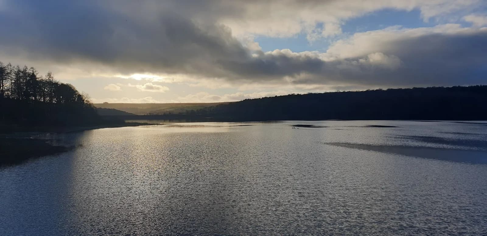 MODERATE
 EASY
EASYRaces on this ground
All Nidderdale races →Races starting within 20 km of the Pateley Bridge and Cold Stones Cut start, nearest first. If you are entered for one, this route is the rehearsal.
24
Oct
2026
Nidderdale Way
Pateley Bridge, North Yorkshire · Punk Panther · 0 miles away
The full Nidderdale Way at fifty-six miles, or a bite of it. Punk Panther's longest.
HARD TO EXPERT
Entries open
6
Oct
2026
Autumn Headtorch Half
Swinsty Reservoir, North Yorkshire · Punk Panther · 8 miles away
The autumn running of the reservoir night race.
MODERATE TO HARD
Not open yet
23
Mar
2027
Spring Headtorch Half
Swinsty Reservoir, North Yorkshire · Punk Panther · 8 miles away
A midweek night race round two reservoirs. Head torch essential.
MODERATE TO HARD
Entries open
7
Nov
2026
The Grim Reservoir Dogs
Swinsty & Fewston Reservoir car park, North Lane, near Otley · It's Grim Up North Running · 8 miles away
A run with your dog round Swinsty and Fewston reservoirs on good woodland trail, one 3.3-mile loop or two. A fun dog race, not run under canicross rules.
Entries open
£18–£29