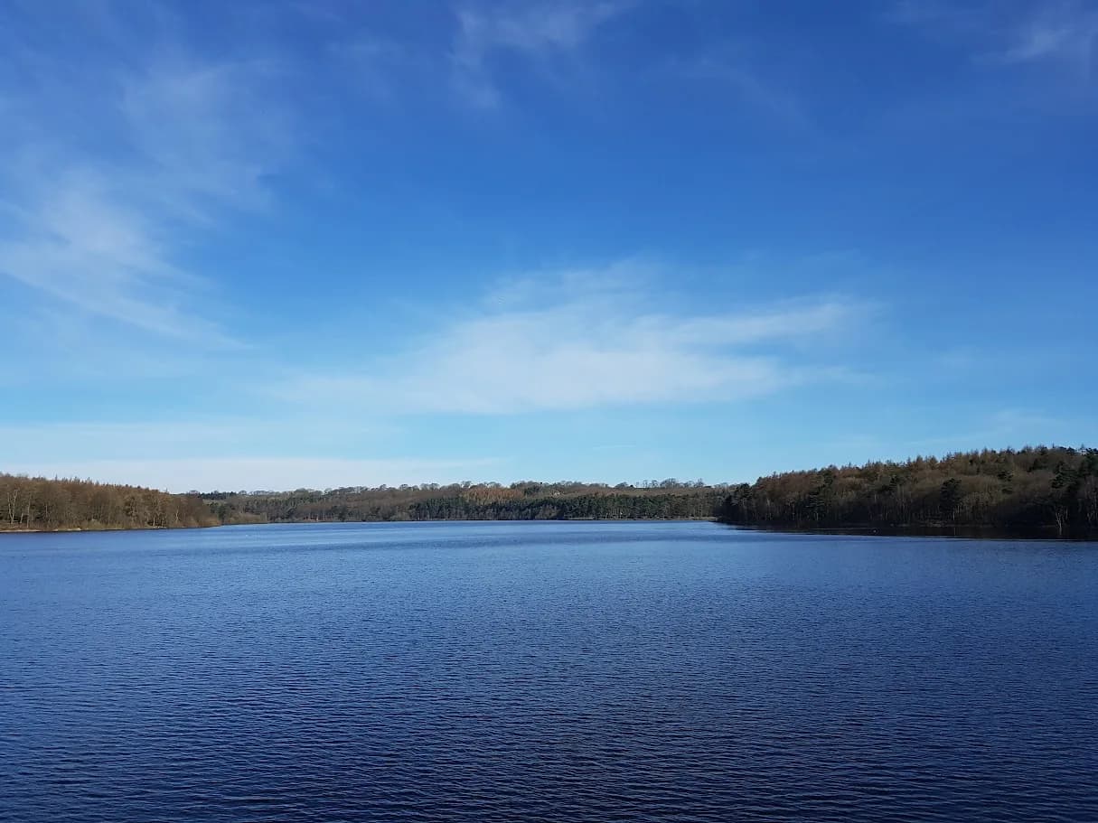
Swinsty Reservoir Loop
The smallest of the Washburn Valley reservoir circuits. Straightforward, reliable, and the kind of route that gets used regularly rather than just once.
Almost entirely runnable — minimal steep sections.
The smallest of the Washburn Valley reservoir circuits. Straightforward, reliable, and the kind of route that gets used regularly rather than just once.
A short 6.3km circuit around Swinsty Reservoir in the Washburn Valley - flat Yorkshire Water tracks in good condition year-round, ideal as a quick easy run.
The route
From the Stack Point car park on the eastern edge of Swinsty Reservoir (HG3 1SU), the route circuits the reservoir on the Yorkshire Water track. The path follows the water's edge closely on the eastern and southern shores before crossing the embankment dam at the southern end and returning along the western shore.
Swinsty Reservoir was constructed in 1876 and sits at around 165m in the Washburn Valley. The surrounding land is managed as public open access and the tracks are maintained to a high standard. Total distance is 6.3km with minimal elevation change.
Washburn Valley
Swinsty is the most southerly of the four Washburn Valley reservoirs - Lindley Wood is just below, and Fewston and Thruscross sit above. The valley was systematically flooded in the 19th and early 20th centuries to supply Leeds with drinking water. The reservoir system still functions today; the surrounding landscape has had over a century to settle into something that now feels entirely natural.
The birdlife is a genuine feature of this circuit - the shallow margins attract waders and wildfowl and the surrounding woodland holds resident species year-round. Moving at a slow-to-moderate pace you'll see significantly more than at tempo.
When to use it
This is a recovery run, a starting point for someone new to trail running, or a warm-up before heading further into the valley. For a longer day, this circuit connects directly with the Fewston and Swinsty combined loop (10.3km) or the Thruscross from Blubberhouses route (13.5km). The car park at Stack Point serves all three options.
Note that the GPX records minimal elevation change - confirmed by the genuinely flat terrain. Ascent figures will appear as very low or zero depending on the device used to record.
Height barrier at car park (2.2m). Track shared with cyclists and other users. Can be muddy at entry/exit points after heavy rain.



Leave No Trace
- Leave nothing but footprints, take nothing but memories.
- Please respect the countryside and all its inhabitants.
- Dogs on leads near livestock, and around ground-nesting birds from March to July.
- Gates as you find them — open or closed, leave it that way for the farmer and the next runner.
- Take it all home — wrappers, peel, tissue, the lot. It doesn't count as biodegradable if you can still see it.
- Stick to the path where the ground either side is wet, planted, or nesting habitat.
Common questions
About the author
Runner reports
Ran this route? Log your time, rate it, share conditions — helps other runners plan their day.
No runs logged yet — be the first.
More routes in Nidderdale
 MODERATE
 MODERATE
 EASY
EASY