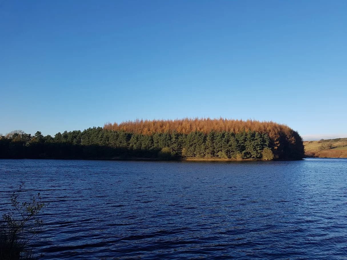
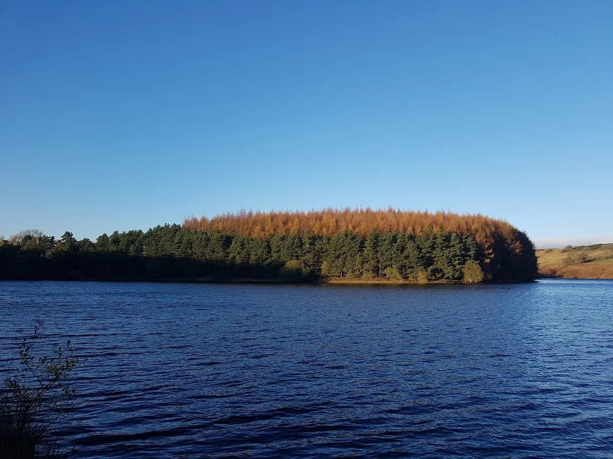
Thruscross, Fewston and Swinsty from Blubberhouses
Three reservoirs, one long run, and some of the best-maintained trail surfaces in the north. This is what you do when you want big distance without big hills.
Effort: Long distance, minimal climbing
Underfoot: Mostly paths and tracks
E4·T1 — how we grade routesAlmost entirely runnable — minimal steep sections.
Three reservoirs, one long run, and some of the best-maintained trail surfaces in the north. This is what you do when you want big distance without big hills.
A 23.7km circuit linking all three main Washburn Valley reservoirs from Blubberhouses - Swinsty, Fewston, and Thruscross - on well-maintained Yorkshire Water tracks.
The route
Starting from the Swinsty Moor car park area near Blubberhouses, the circuit heads north through the Washburn Valley to Thruscross Reservoir, circuits the upper reservoir, then returns south through Fewston and Swinsty on the valley tracks.
The full circuit covers 23.7km - equivalent to a half marathon and a bit - across three linked reservoir systems. The Yorkshire Water tracks are uniformly well-maintained gravel paths, wide enough to run freely and in good condition year-round. Total ascent across the full circuit is approximately 75m, reflecting the genuinely flat nature of this terrain: this is a distance challenge, not an elevation one.
Running anti-clockwise (north first, returning south), Thruscross comes into view after roughly 6km. The upper reservoir circuit adds 7.9km before the route descends south through the valley, passing Fewston and returning along the Swinsty perimeter to the start.
A long flat day
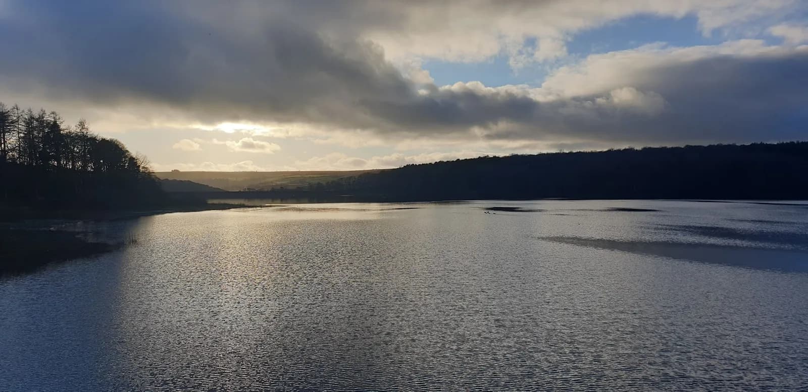
This route exists for one reason: if you want 23+km in the legs without navigational complexity or significant climbing, this delivers it. The surface quality is consistent throughout, the route is easy to follow, and the reservoir views sustain interest over a long run in a way that an urban circuit wouldn't.
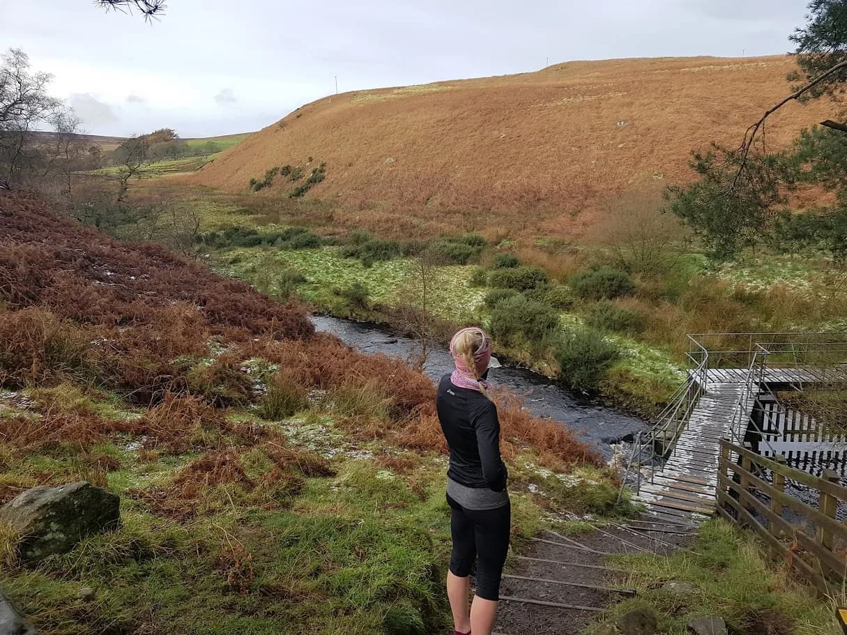
The trade-off is that the terrain doesn't change much. The three reservoir circuits share similar character - water to one side, managed woodland to the other, steady track underfoot. If you need variety over this kind of distance, head for the fell routes. If you need miles with reliable conditions, this is the Washburn Valley's offering.
Practical notes
Water is not available on route - carry enough for 23+km. No catering at any of the reservoir sites. The Swinsty Moor car park has toilets and is the natural base for all three reservoir routes. Plan nutrition accordingly for a run of this length.
Note: GPX elevation data shows very low ascent figures, reflecting the genuine flat character of the valley floor terrain.
No shelter on the upper reservoir for long sections - check the forecast for this distance. Carry sufficient water and nutrition for 23+km. Height barriers at car parks.



Leave No Trace
- Leave nothing but footprints, take nothing but memories.
- Please respect the countryside and all its inhabitants.
- Dogs on leads near livestock, and around ground-nesting birds from March to July.
- Gates as you find them — open or closed, leave it that way for the farmer and the next runner.
- Take it all home — wrappers, peel, tissue, the lot. It doesn't count as biodegradable if you can still see it.
- Stick to the path where the ground either side is wet, planted, or nesting habitat.
Common questions
About the author
Runner reports
Ran this route? Log your time, rate it, share conditions — helps other runners plan their day.
No runs logged yet — be the first.
More routes in Nidderdale
 MODERATE
 MODERATE
 EASY
EASY