Yorkshire Three Peaks Circuit
Three summits, 1,505m of ascent, and a finish back in Horton means that you have definitely earned a drink.
Effort: Ultra distance and major ascent
Underfoot: Open fell or rough terrain
E5·T3 — how we grade routesMostly on runnable ground, but most runners still walk the steepest climbs.
The classic 41.5km circuit linking Pen-y-ghent, Whernside and Ingleborough — the defining challenge run of the Yorkshire Dales.
Three summits, 1,505m of ascent, and a finish back in Horton means that you have definitely earned a drink.
The challenge
The Three Peaks Circuit is 41.5km with around 1,505m of ascent and takes most trail runners 5–8 hours. It's been a challenge route since the 1950s and an official fell race since 1954. The route goes Pen-y-ghent first, then Whernside, then Ingleborough — the traditional direction.
Pen-y-ghent
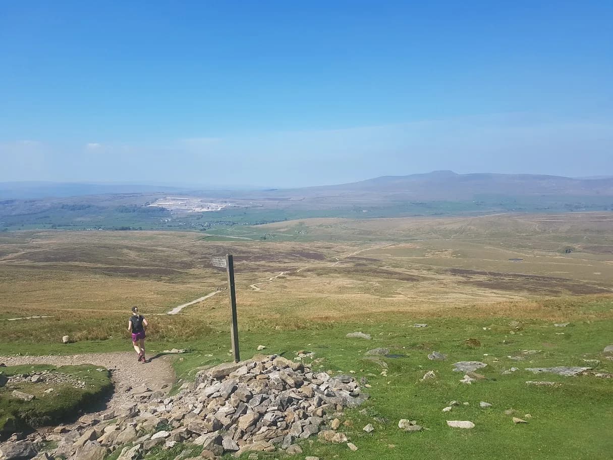
From Horton car park, the Pennine Way leads south before a steep rocky ascent to the summit at 694m. The classic stepped profile is unmistakeable.
Whernside
A long road and track section connects to Horton Scar Lane before the climb to Ribblehead and up onto the Whernside ridge — the highest point of the day at 736m.
Ingleborough
The final and toughest climb — a long approach across flat moorland before the steep pull onto the plateau at 723m. The descent back to Horton through Horton Scar completes the circuit.
Conditions
The route is well-signed throughout. The boggy sections between Ribblehead and Ingleborough can be brutal after rain. Most runners carry 1.5–2 litres of water.
Long route with significant distance between sheltered sections. Navigation in cloud on Ingleborough plateau can be tricky despite waymarking. Carry map and compass as backup.
Summits on this route
Safety on this route
- No signal? Text 999 — pre-register first: text register to 999
- Tell someone your route and expected return time before you head out
Leave No Trace
- Leave nothing but footprints, take nothing but memories.
- Please respect the countryside and all its inhabitants.
- Dogs on leads near livestock, and around ground-nesting birds from March to July.
- Gates as you find them — open or closed, leave it that way for the farmer and the next runner.
- Take it all home — wrappers, peel, tissue, the lot. It doesn't count as biodegradable if you can still see it.
- Stick to the path where the ground either side is wet, planted, or nesting habitat.
Common questions
About the author
Runner reports
Ran this route? Rate it, share conditions, log your time — helps other runners plan their day.
No runner feedback yet
Be the first to run this and report back — ratings appear once a few runners have shared their experience.
No runs logged yet — be the first.



More routes in Yorkshire Dales
 MODERATE
 HARD
HARD