Trail Running for Beginners UK: Your First Five Runs
Start trail running with a practical five-run plan, honest UK route ideas, shoe and kit advice, free GPX downloads and no gatekeeping.
Start trail running on a short route with firm paths, clear navigation and little climbing. Do not make your first trail run a famous summit just because the distance looks manageable. Build one thing at a time: first uneven ground, then climbing, then distance, then rougher or more exposed terrain. Walking the climbs is normal, pace will be slower than on road, and every Trail Running Planet route has a free GPX so you can check the line before leaving.
A sensible first five runs might progress from a 6.8km park and woodland loop to a short moor route, then a longer low-level circuit, before you consider a proper fell day.
What counts as trail running?
Trail running is running on paths, tracks, grass, moor, forest, fell, towpath, coast or mountain ground.
It does not require:
- A mountain.
- Expensive kit.
- A race entry.
- Running every climb.
- A particular pace.
- An ultra-distance goal.
Walking a steep section is still part of a trail run. Stopping to check the map is sensible. Turning around when weather changes is a good decision.
The point is to move through outdoor terrain under your own effort and choose a route that fits your current experience.
The first five runs at a glance
| Stage | Suggested route | Distance | Ascent | What you learn |
|---|---|---|---|---|
| 1. Firm paths | Skipton Aireville Park and Woods | 6.8km | 55m | Uneven surfaces without difficult navigation |
| 2. Mixed trail | Skipton Woods and Canal | 11.5km | 111m | Woodland, towpath and pacing on a longer loop |
| 3. First open hill | Skipton Moor, Cawder Lane and the Canal or Latrigg from Keswick | 9.8km or 8.3km | 267m / 288m | Climbing, wind and open ground |
| 4. Longer low-level run | Grasmere, Rydal Caves and the Coffin Route | 14.0km | 192m | Time on feet and steady trail pacing |
| 5. First fell summit | Catbells from Hawes End | 6.0km | 366m | Steeper ascent and descent on a short route |
The exact routes do not have to be these five. Use the same progression near home. For more options by area, see our guides to easy Lake District trail running routes, where to start in the Lake District and where to start in the Yorkshire Dales.
Before run one: choose the right starting point
A beginner route should have:
- A clear path.
- Little exposure.
- A simple way back.
- Mobile signal or nearby roads.
- A distance you can already cover on road.
- No scrambling.
- No river crossing that changes after rain.
- A realistic parking or transport plan.
If you can comfortably run-walk 5–8km on road, a 5–7km firm trail route is a sensible start.
Do not double your normal distance because the route description looks inviting. Uneven ground adds effort, and stopping at gates or checking directions adds time.
Run one: firm park, woodland and towpath
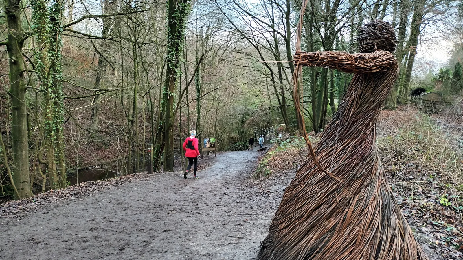
The Skipton Aireville Park and Woods loop is 6.8km with 55m of ascent. It is graded Easy, E1·T1, and is fully runnable.
The route uses:
- Maintained park paths.
- Woodland trails.
- A short canal towpath section.
- Ground that remains usable through most of the year.
It starts around five minutes from Skipton railway station, and parking is available at Aireville Park or in the town centre.
What to practise
Do not worry about speed.
Practise:
- Looking several metres ahead rather than at your feet.
- Shortening your stride on uneven ground.
- Letting pace slow naturally on small rises.
- Passing other path users carefully.
- Checking the GPX at junctions.
- Noticing how the surface affects effort.
A normal pair of road shoes may be fine here in dry conditions. A road-to-trail shoe is useful if the paths are damp.
What success looks like
Finish feeling that you could have continued.
The first trail run should build confidence, not prove fitness.
Run two: mixed woodland and towpath
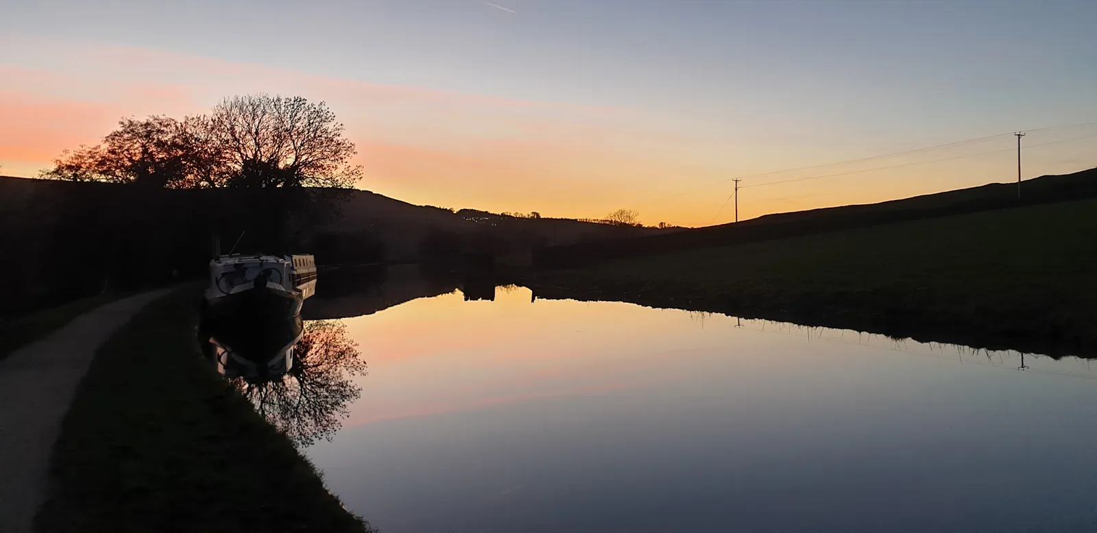
The Skipton Woods and Canal circuit is 11.5km with 111m of ascent.
It is graded Moderate because of the distance, while the terrain remains T1. The route is fully runnable and mixes firm woodland paths with a flat canal return.
Why it is a useful second run
You get more time on your feet without adding a big climb.
The route teaches you to:
- Settle into an effort rather than chase pace.
- Move between different surfaces.
- Manage energy over two hours or more.
- Keep something back for the final section.
- Run courteously on a shared towpath.
The limestone paths drain well, although wet stone can still be slippery.
Food and water
For an 11.5km run, many runners will not need much food. Carry a small snack anyway while learning. Find out what sits comfortably before a longer day.
Carry water when:
- It is warm.
- You expect to be out for more than 90 minutes.
- You are not used to running before breakfast.
- There is no reliable water point.
Do not make a rigid rule from someone else's intake.
Run three: your first open hill
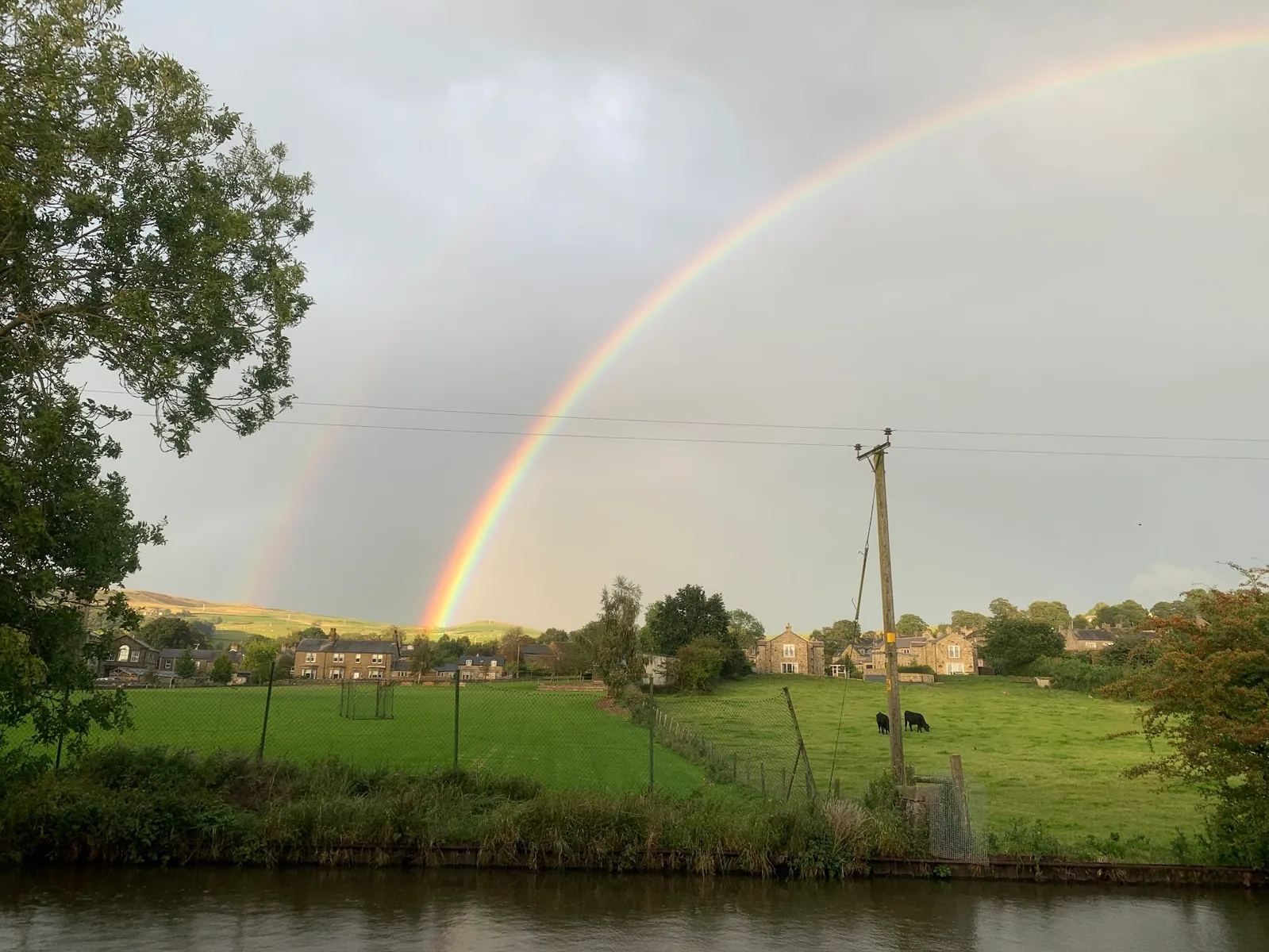
The next step is not necessarily more distance. Add exposure to weather and a meaningful climb while keeping the route short.
Two useful examples are:
- Skipton Moor, Cawder Lane and the Canal, 9.8km with 267m of ascent, Moderate.
- Latrigg from Keswick, 8.3km with 288m of ascent, Moderate.
What changes on open ground?
Wind matters more.
The path may become:
- Wet.
- Grassy.
- Rocky.
- Less obvious.
- More exposed to cold.
You also need to manage the descent. New trail runners often climb sensibly and then lose control downhill by overstriding.
How to climb
Use a short stride.
Walk when:
- Your breathing becomes uncontrolled.
- The gradient forces an awkward running form.
- The ground is loose or slippery.
- Walking is the same speed for less effort.
Strong trail runners walk climbs. It is not a beginner concession.
How to descend
Keep your feet under your body rather than reaching forward.
Look ahead for:
- Loose stones.
- Drainage channels.
- Wet slabs.
- Steps.
- Other users.
- Livestock.
Let the speed increase only when the ground allows it.
Run four: a longer low-level trail
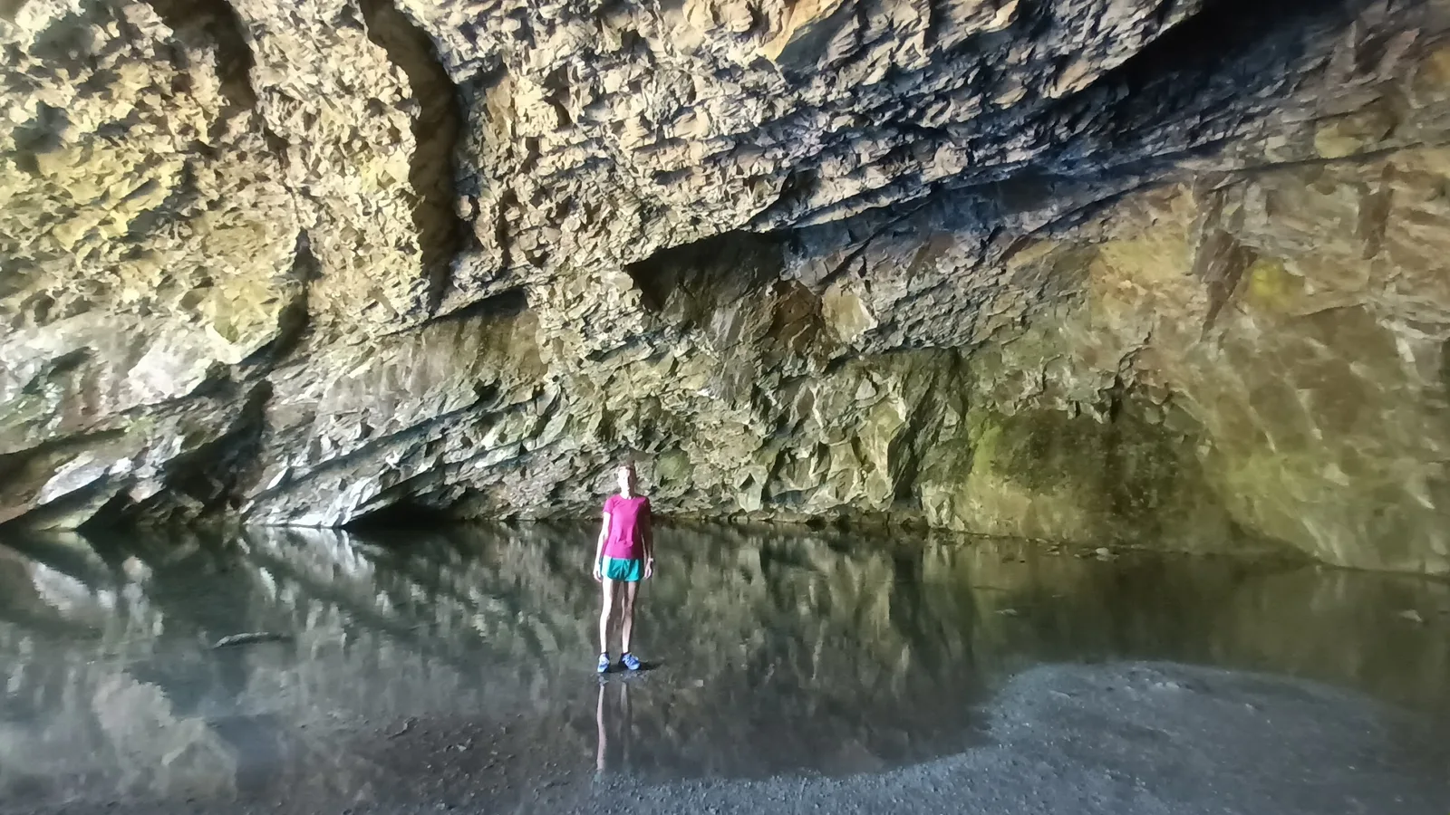
The Grasmere, Rydal Caves and the Coffin Route is 14.0km with 192m of ascent.
It is graded Hard for effort because 14km is a meaningful distance, but the terrain is gentle compared with the high fells.
This is a good progression when you want:
- A longer run without a major summit.
- Clear paths.
- Easy access to villages and facilities.
- A route that can be shortened.
- More practice with pacing and food.
Do not let the grade confuse you
The TRP grade separates effort and terrain.
A long route on straightforward ground may have a higher overall label than a short technical route. Read both scores and the plain-language description.
For a beginner, 14km on T1 or T2 ground can be a better progression than 8km on T4 terrain.
Plan time, not road pace
A road 10km time is not a reliable trail finish prediction.
Add time for:
- Gates.
- Navigation.
- Photos.
- Food.
- Steeper ground.
- Busy paths.
- Mud.
Tell someone the slower estimate, not the optimistic one.
Run five: your first proper fell summit
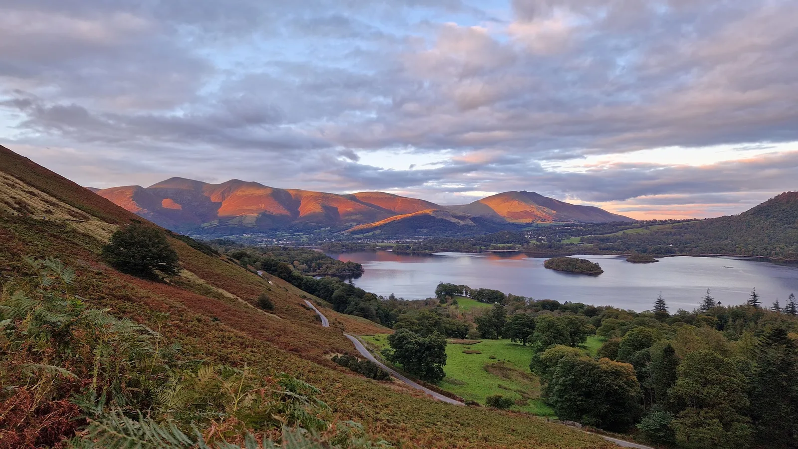
Catbells from Hawes End is 6.0km with 366m of ascent and is graded Moderate.
The distance is short. The climb is not.
This is a useful first summit route for a runner who has completed the earlier stages and is comfortable descending uneven ground.
What to expect
You will probably walk part of the climb.
The route has:
- A clear objective.
- A steep ascent.
- A real summit.
- Rocky and uneven ground.
- A short enough distance to keep the day manageable.
Popularity does not remove risk. Wet rock, strong wind and crowds can all affect the route.
When to choose another day
Do not make Catbells your fifth run when:
- Strong winds are forecast.
- The rock is icy.
- You have pain from the previous runs.
- You have not practised basic navigation.
- You are relying on the final daylight.
- You feel pressure to keep up with a faster runner.
Choose the route to fit the day, not the schedule.
An alternative first-five progression near home
You can build the same skills without travelling to Yorkshire or the Lake District.
Run 1
5–7km park, canal or firm woodland.
Run 2
8–12km mixed tracks and fields.
Run 3
6–10km with 200–350m of climbing.
Run 4
12–16km on clear low-level trails.
Run 5
A short fell, coastal headland or moorland summit with an easy retreat.
Use Trail Running Planet's route filters for:
- Distance.
- Grade.
- Dog friendly.
- Family friendly.
- Route type.
- Region.
Every published route includes a free GPX.
How much slower should you expect to be?
There is no fixed conversion.
A trail route slows you through:
- Climbing.
- Descending.
- Mud.
- Rock.
- Gates.
- Navigation.
- Exposure.
- Congestion.
- Stops to eat or adjust kit.
On an easy firm trail, your pace may be only slightly slower than road pace. On a steep fell, a kilometre can take several times longer.
Use effort rather than pace.
A useful beginner intensity is one where:
- You can speak in sentences on easy sections.
- You walk before becoming exhausted.
- You can eat and drink without feeling sick.
- You still make sensible decisions late in the run.
Do you need trail running shoes?
Not for every first route.
Road shoes are acceptable when
- The ground is dry.
- Paths are firm.
- There is no steep mud or wet grass.
- The route includes a lot of pavement or towpath.
Trail shoes help when
- The ground is muddy.
- Descents are steep.
- Grass is wet.
- Rock grip matters.
- Your road shoe moves around on uneven ground.
Read What Trail Running Shoes Do You Need for UK Trails? for a terrain-led guide.
Do not buy the most aggressive fell shoe for a canal route. Match the sole to the ground.
What kit do you need?
For a short local trail
- Phone.
- Downloaded GPX.
- Suitable shoes.
- Weather-appropriate layer.
- Water when needed.
- Identification or emergency details.
For a longer low-level route
Add:
- Waterproof jacket.
- Food.
- Water.
- Small running vest.
- Basic first aid.
- Battery if using the phone heavily.
- Headtorch when daylight is limited.
For a fell or mountain route
Add:
- Warm spare layer.
- Hat and gloves.
- Map and compass.
- Emergency shelter.
- Whistle.
- More food than the optimistic plan requires.
- Proper mountain forecast check.
Do not copy a race mandatory-kit list without thinking. Understand what each item solves.
How to use the GPX
Download the free GPX before leaving home.
Then:
- Import it to your phone or watch.
- Save the surrounding map offline.
- Open the route on the watch.
- Confirm the distance.
- Check the route direction.
- Practise on a local route before relying on it in the hills.
New to picking routes in the first place? Read how to choose a trail running route you can actually finish.
Weather for beginner trail runners
Check:
- Rain before the run.
- Rain during the run.
- Wind and gusts.
- Temperature at the highest point.
- Cloud base.
- Sunset.
- Any weather warning.
Rain earlier in the week can matter more than rain on the day. Peat moor and riverside paths hold water.
A lower route is often a better first experience in poor weather.
Navigation without panic
Before starting:
- Look at the route shape.
- Identify the main turn.
- Note the highest point.
- Know where you can cut it short.
- Check the final kilometre back to the start.
When unsure:
- Stop.
- Check the GPX.
- Look at the map.
- Retrace to the last known point.
- Do not continue downhill hoping it will work out.
A five-minute correction early is better than a 40-minute climb back.
Common beginner mistakes
Choosing by summit name
Famous does not mean suitable.
Adding distance and terrain together
Do not make your first longer run your first technical run as well.
Running every climb
This wastes energy and can make the second half miserable.
Wearing too much
You will warm up quickly. Carry a layer rather than sweating through it from the start.
Carrying too little
A thin top and phone are not enough for a high route with a poor forecast.
Following a GPX blindly
A closed path, flooded crossing or unsafe ridge still needs a decision.
Comparing trail pace with road pace
Trail pace is information about the ground, not a verdict on fitness.
Refusing to turn back
The route will still be there.
When are you ready for harder routes?
Move up when you can:
- Complete your current distance comfortably.
- Descend without losing control.
- Eat and drink while moving.
- Use the GPX confidently.
- Read a basic map.
- Judge clothing for the forecast.
- Finish with enough energy to handle a delay.
Increase one variable at a time:
- Distance.
- Ascent.
- Technicality.
- Remoteness.
- Exposure.
- Winter conditions.
That is how confidence becomes experience rather than bravado.
How often should a beginner trail run?
One trail run a week is enough to start learning without changing your entire training routine.
Keep the rest familiar. For example:
- One short easy road run.
- One slightly longer easy run.
- One trail run.
- Rest or low-impact training between harder days.
Uneven ground loads calves, ankles and small stabilising muscles differently from road running. The first few routes may leave you sore even when the distance is normal.
Do not increase distance, climbing and frequency in the same week. Repeat a route if it felt demanding. Familiar ground lets you work on movement without also solving navigation.
Pain that changes your stride is a reason to stop, not something to "run through" because the route is nearly finished.
Should you run alone?
A straightforward local route can be a reasonable solo first run when you know the area, have signal and have told someone your plan.
For a first open fell or mountain day, running with a calm, experienced person can help. Choose someone willing to:
- Move at your pace.
- Walk climbs.
- Explain navigation.
- Turn back without complaint.
- Carry their own kit.
- Avoid turning the day into a test.
A group is not automatically safer. Large differences in pace can split runners, and social pressure can make people continue when they should stop.
Whether alone or with others, share the route and expected return time.
What to do after each run
Take two minutes to record:
- Actual time.
- How the distance felt.
- Where you walked.
- Whether the shoes gripped.
- What you ate and drank.
- What you carried but never used.
- What you wished you had.
- Any navigation mistake.
Mark the route as run on Trail Running Planet and add a condition report where useful.
This turns five separate outings into a learning process. By the end, you will know far more about the routes that suit you than any generic kit list can provide.
FAQs
How far should my first trail run be?
Choose a distance you can already cover comfortably on road. For many runners that means 5–8km on firm trails with little climbing.
Is trail running harder than road running?
Usually, because uneven ground, climbing and navigation slow you down. A flat towpath may feel similar to road, while a steep fell route can take much longer.
Is it fine to walk during a trail run?
Yes. Walking steep climbs is efficient and normal. Many experienced trail and ultra runners do it.
Do I need trail shoes for my first run?
Not on firm, dry park or towpath routes. Trail shoes become more useful on mud, wet grass, rock and steep descents.
What is the best beginner route on Trail Running Planet?
Skipton Aireville Park and Woods is a strong first route: 6.8km, 55m of ascent, Easy terrain and five minutes from the station.
Can I use my phone for navigation?
Yes on straightforward routes if the GPX and map are saved offline. Carry a map and compass when moving onto remote or high ground.
When should I try a mountain route?
After you are comfortable with shorter trails, meaningful climbing, descents, navigation and carrying the right kit. Choose a good forecast and a route with an easy retreat.
Are the GPX files free?
Yes. Every Trail Running Planet route includes a free GPX download with no account or email gate.
Start with these
The easiest routes on the site: low effort, easy ground, shortest first. Each has a free GPX file, parking and transport notes, and a note on who checked it.
Yorkshire Dales · 29 easy routes
- Skipton Moor from Skipton · 6.3 km · 254 m · Moderate
- Grimwith Reservoir · 6.8 km · 76 m · Easy
- Skipton Aireville Park and Woods · 6.8 km · 55 m · Easy
Nidderdale · 10 easy routes
- Fewston Reservoir Loop · 5.2 km · 21 m · Easy
- Swinsty Reservoir Loop · 6.3 km · 27 m · Easy
- Thruscross Reservoir Loop · 7.9 km · 97 m · Easy
Lake District · 9 easy routes
- Catbells from Hawes End · 6.0 km · 366 m · Moderate
- Latrigg from Keswick · 8.3 km · 288 m · Moderate
- Wray Castle and Claife · 9.8 km · 181 m · Moderate