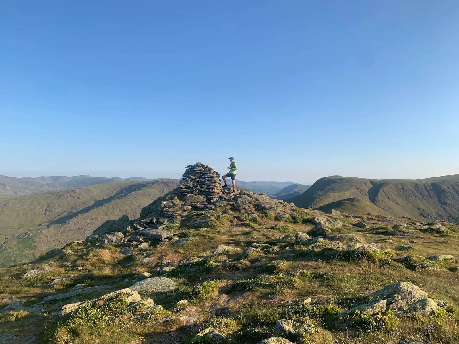
Kentmere Horseshoe
High-level ridge running with minimal descent until the end. The views across Kentmere Reservoir and to the surrounding fells are some of the best in the eastern Lakes.
Effort: Shorter distance, serious climb
Underfoot: Open fell or rough terrain
E4·T3 — how we grade routesNo photos of this route yet. Sign in to add one
Mostly runnable, with some steep sections you'll likely walk.
One of the Lake District's best horseshoe routes, encircling the remote Kentmere valley on a high ridge linking nine Wainwrights including Ill Bell and Harter Fell.
High-level ridge running with minimal descent until the end. The views across Kentmere Reservoir and to the surrounding fells are some of the best in the eastern Lakes.
The route
From the small hamlet of Kentmere, the route climbs south to the Garburn Pass before gaining the ridge at Yoke. A high-level ridge links Ill Bell (757m), Froswick, Thornthwaite Crag, Mardale Ill Bell, Harter Fell, and Kentmere Pike before descending back to the valley.
Parking warning
Kentmere has around nine parking spaces near the Institute. Arrive before 8am at weekends or you won't get in. An overflow field occasionally opens — call ahead to check.

Partner · affiliate policy
Remote — long way from help if injured. Exposed ridge in bad weather. Very limited parking at Kentmere — no parking means no run.
Summits on this route
Safety on this route
- No signal? Text 999 — pre-register first: text register to 999
- Tell someone your route and expected return time before you head out
Leave No Trace
- Leave nothing but footprints, take nothing but memories.
- Please respect the countryside and all its inhabitants.
- Dogs on leads near livestock, and around ground-nesting birds from March to July.
- Gates as you find them — open or closed, leave it that way for the farmer and the next runner.
- Take it all home — wrappers, peel, tissue, the lot. It doesn't count as biodegradable if you can still see it.
- Stick to the path where the ground either side is wet, planted, or nesting habitat.
Common questions
- Most runners complete Kentmere Horseshoe in 3 hours 10 minutes to 4 hours 20 minutes, depending on pace and conditions.
Run by us· last checked July 2026
Jason Millward has run this route and written it up from the ground. How we check routes
About the author
Runner reports
Nobody's logged a run here yet. If you get out on it, a few lines about how it went helps the next person plan their day.



Routes nearby
Start from a town: Windermere 7 km · Ambleside 8.1 km
 HARD
HARD HARD
HARD EXPERT
Races on this ground
All Lake District races →Races starting within 20 km of the Kentmere Horseshoe start, nearest first. If you are entered for one, this route is the rehearsal.
1
May
2027
Staveley Trails
Staveley, Cumbria · Lakeland Trails · 4 miles away
Kentmere from Staveley Recreation Ground, with a 5K for everyone else.
HARD
Not open yet
26
Sept
2026
7 Valleys Ultra
Waterhead, Ambleside, Cumbria · 13 Valleys Ultra · 5 miles away
Waterhead to Keswick the long way, over High Street and through the central fells.
Event full
26
Sept
2026
5 Valleys Ultra
Waterhead, Ambleside, Cumbria · 13 Valleys Ultra · 5 miles away
Waterhead to Keswick over five valleys, waymarked the whole way.
Event full
10
Jul
2027
Lakeland Trails Ultra
Ambleside, Cumbria · Lakeland Trails · 5 miles away
A hundred kilometres from a minute past midnight, or fourteen in the morning.
HARD TO EXPERT
Entries open