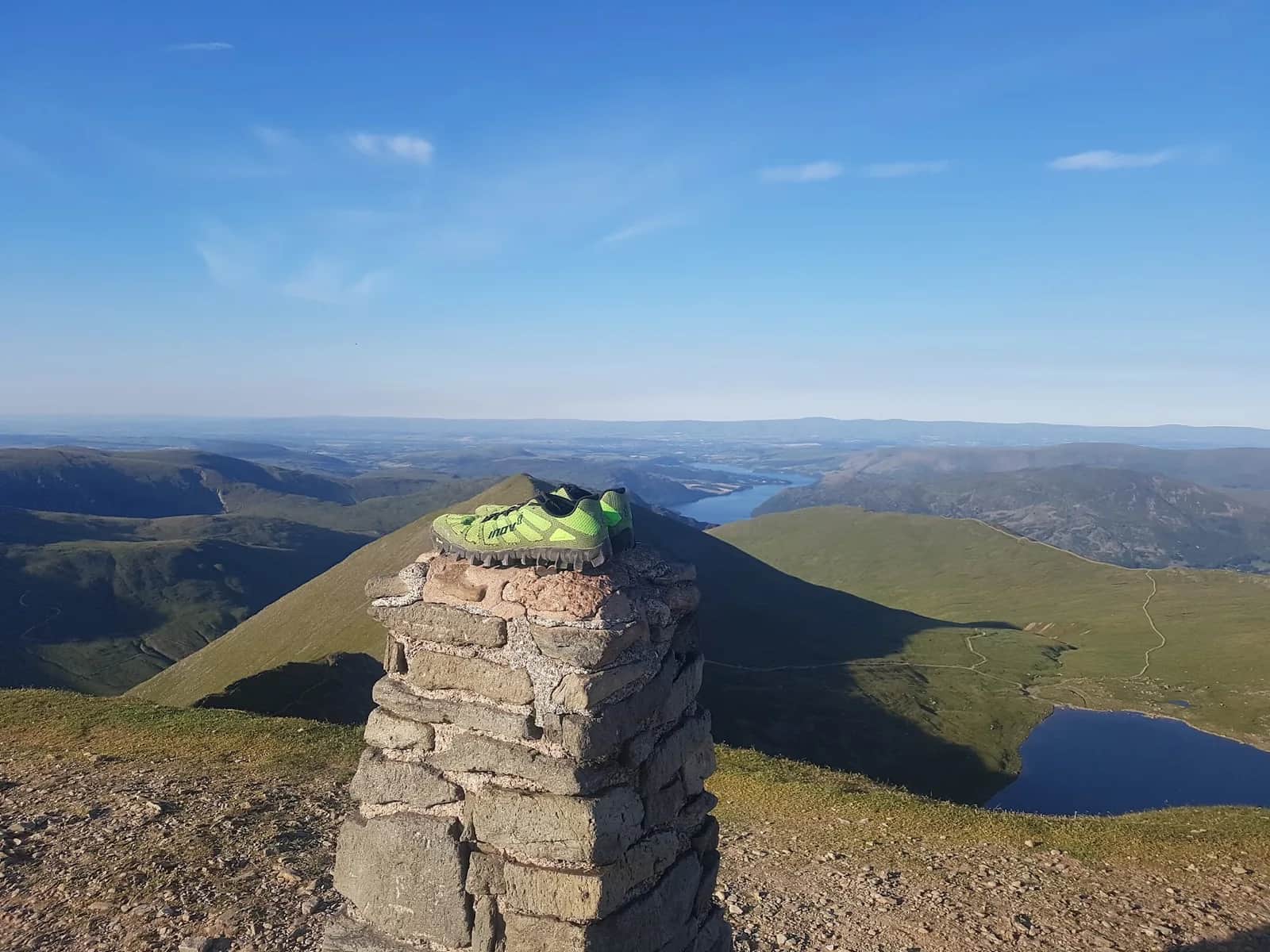
Helvellyn Range and St Sunday Crag from Glenridding
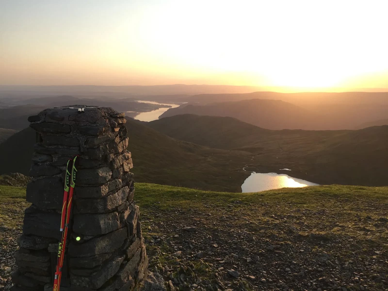
Seven summits of the Eastern Fells in one continuous high-level horseshoe, finishing over St Sunday Crag with Ullswater filling the view ahead.
Effort: Shorter distance, serious climb
Underfoot: Open fell or rough terrain
E4·T3 — how we grade routesNo photos of this route yet. Sign in to add one
Mostly runnable, with some steep sections you'll likely walk.
A big 20.6km horseshoe from Glenridding over Raise, White Side, Helvellyn (950m), Nethermost and Dollywaggon Pike, returning over St Sunday Crag, with 1,300m of climb on a high ridge.
Seven summits of the Eastern Fells in one continuous high-level horseshoe, finishing over St Sunday Crag with Ullswater filling the view ahead.
The route
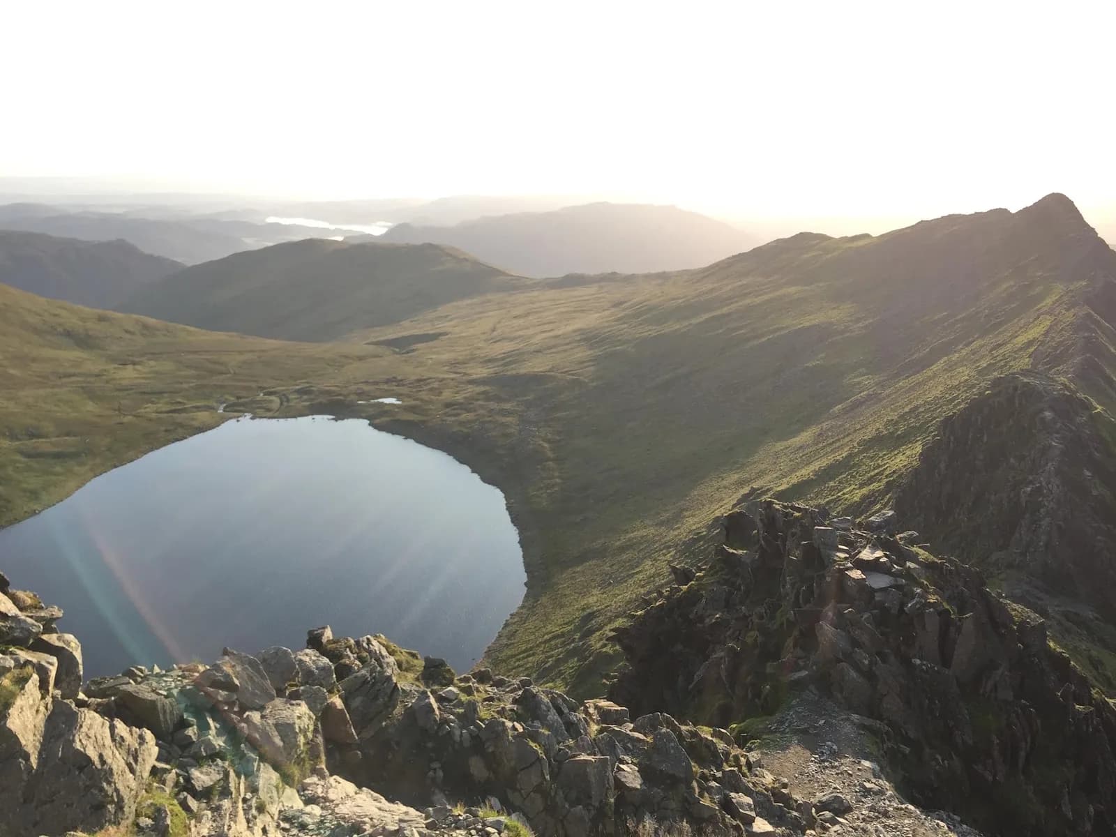
This is the full Helvellyn range as a horseshoe from Glenridding. You climb out past the old Greenside mine onto Raise (883m), then run the broad ridge south over White Side (863m), Helvellyn Lower Man (925m) and the main summit of Helvellyn at 950m. The line continues over Nethermost Pike (891m) and Dollywaggon Pike (858m) before swinging east and dropping to Grisedale Tarn, then climbing again over the rocky crest of St Sunday Crag (841m) for the long descent back to Patterdale and Glenridding. At 20.6km this is a proper mountain day with serious ridge mileage above 800m.
The Wainwrights
Every top on this round is a Wainwright of the Eastern Fells: Raise, White Side, Helvellyn, Nethermost Pike, Dollywaggon Pike and St Sunday Crag, with Helvellyn Lower Man as a subsidiary top of the parent fell. St Sunday Crag is the quiet star, a steep-sided fell that Wainwright rated among the finest viewpoints for Ullswater. The high ridge between Raise and Dollywaggon is fast, grassy running on good paths, which is what makes a seven-top day realistic in a single push.
Why it works
The horseshoe shape means you are rarely retracing, and the sting is in the tail: the pull onto St Sunday after Grisedale Tarn comes when the legs are already loaded. Save fuel for it. In cloud the plateau between Lower Man and Dollywaggon is featureless and the edges drop away east, so carry map and compass and know your exits. The Greenside path also gives an easy early bail back to Glenridding if the weather closes in before Helvellyn. Get a clear day and this is one of the great runnable ridge lines in the Lakes, with Ullswater, Striding Edge and the Fairfield group all in view as you go. It pairs naturally with a Bob Graham recce, since the central section shares ground with Leg 2 of the round.

Partner · affiliate policy
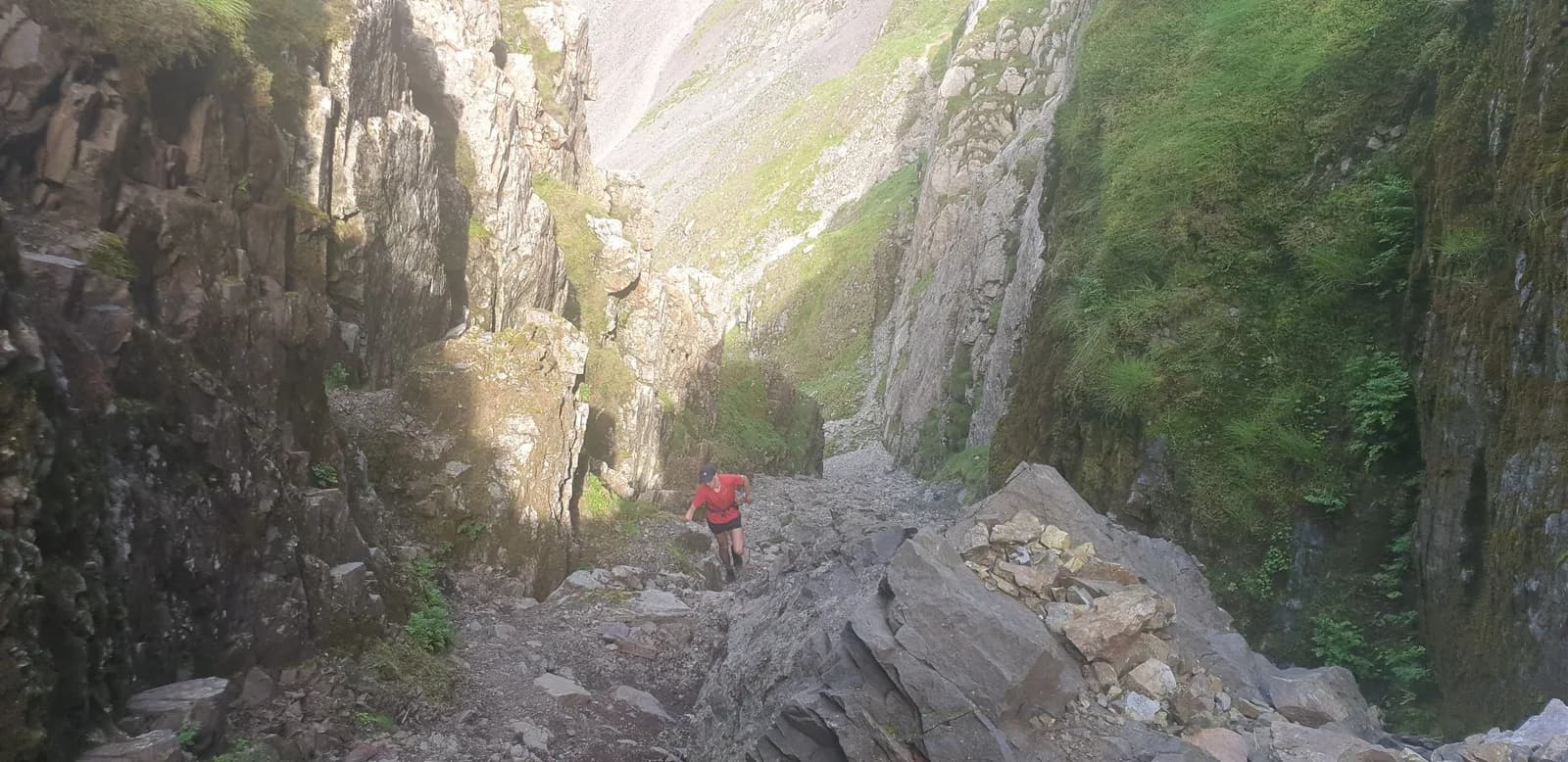
The high ridge is exposed and featureless in cloud, with steep cornice-prone drops off Helvellyn's east face. The climb to St Sunday Crag is steep and remote, and Grisedale Tarn marks the point of no easy escape.
Summits on this route
Safety on this route
- No signal? Text 999 — pre-register first: text register to 999
- Tell someone your route and expected return time before you head out
Leave No Trace
- Leave nothing but footprints, take nothing but memories.
- Please respect the countryside and all its inhabitants.
- Dogs on leads near livestock, and around ground-nesting birds from March to July.
- Gates as you find them — open or closed, leave it that way for the farmer and the next runner.
- Take it all home — wrappers, peel, tissue, the lot. It doesn't count as biodegradable if you can still see it.
- Stick to the path where the ground either side is wet, planted, or nesting habitat.
Common questions
- Most runners complete Helvellyn Range and St Sunday Crag from Glenridding in 3 hours 25 minutes to 4 hours 35 minutes, depending on pace and conditions.
Run by us· last checked July 2026
Jason Millward has run this route and written it up from the ground. How we check routes
About the author
Runner reports
Nobody's logged a run here yet. If you get out on it, a few lines about how it went helps the next person plan their day.



Routes nearby
Start from a town: Ambleside 12.8 km · Keswick 13.5 km
 VERY HARD
 VERY HARD
 VERY HARD
 EXPERT
 EXPERT
Races on this ground
All Lake District races →Races starting within 20 km of the Helvellyn Range and St Sunday Crag from Glenridding start, nearest first. If you are entered for one, this route is the rehearsal.
31
Oct
2026
Helvellyn Trails
Glenridding, Cumbria · Lakeland Trails · 0 miles away
Glenridding and the shores of Ullswater under Helvellyn, at the end of October.
HARD
Entries open
1
Nov
2026
Ullswater Trails
Glenridding, Cumbria · Lakeland Trails · 0 miles away
A steamer out and a run back along the lake shore.
HARD
Entries open
16
Jul
2027
provisional

Swirral Grind 850
Patterdale, Cumbria · Lake District Sky Trails · 1 miles away
Six kilometres, 850 metres up Swirral Edge.
Not open yet
17
Jul
2027
Helvellyn Sky Ultra
Patterdale, Cumbria · Lake District Sky Trails · 1 miles away
Fifty-seven kilometres over Helvellyn's ridges, 3,700 metres of ascent.
Entries open