Helvellyn via Striding Edge and Swirral Edge from Patterdale
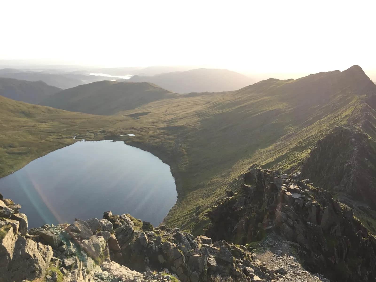
This is the postcard round of Helvellyn: up the knife-edge of Striding Edge, across the 950m summit, and down Swirral with Red Tarn below the whole way.
Effort: Shorter distance, serious climb
Underfoot: Technical, navigation required
E4·T4 — how we grade routesNo photos of this route yet. Sign in to add one
Mostly runnable, with some steep sections you'll likely walk.
The classic 12.7km eastern circuit of Helvellyn from the Patterdale and Glenridding side, up Striding Edge and down Swirral Edge over Red Tarn, with 824m of climb.
This is the postcard round of Helvellyn: up the knife-edge of Striding Edge, across the 950m summit, and down Swirral with Red Tarn below the whole way.
The route
This is the route most people picture when they think of Helvellyn. From the Glenridding and Patterdale side you climb past Lanty's Tarn and out along the Hole-in-the-Wall to gain Striding Edge from the east. The traverse of the arete is the heart of the day, a rocky grade 1 scramble that leads to a short steep step onto the summit plateau at 950m. You then descend the rocky chute of Swirral Edge to the saddle by Catstye Cam and curve back above Red Tarn to the start. It is only 12.7km with 824m of climb, but the ground does the talking.
The edges
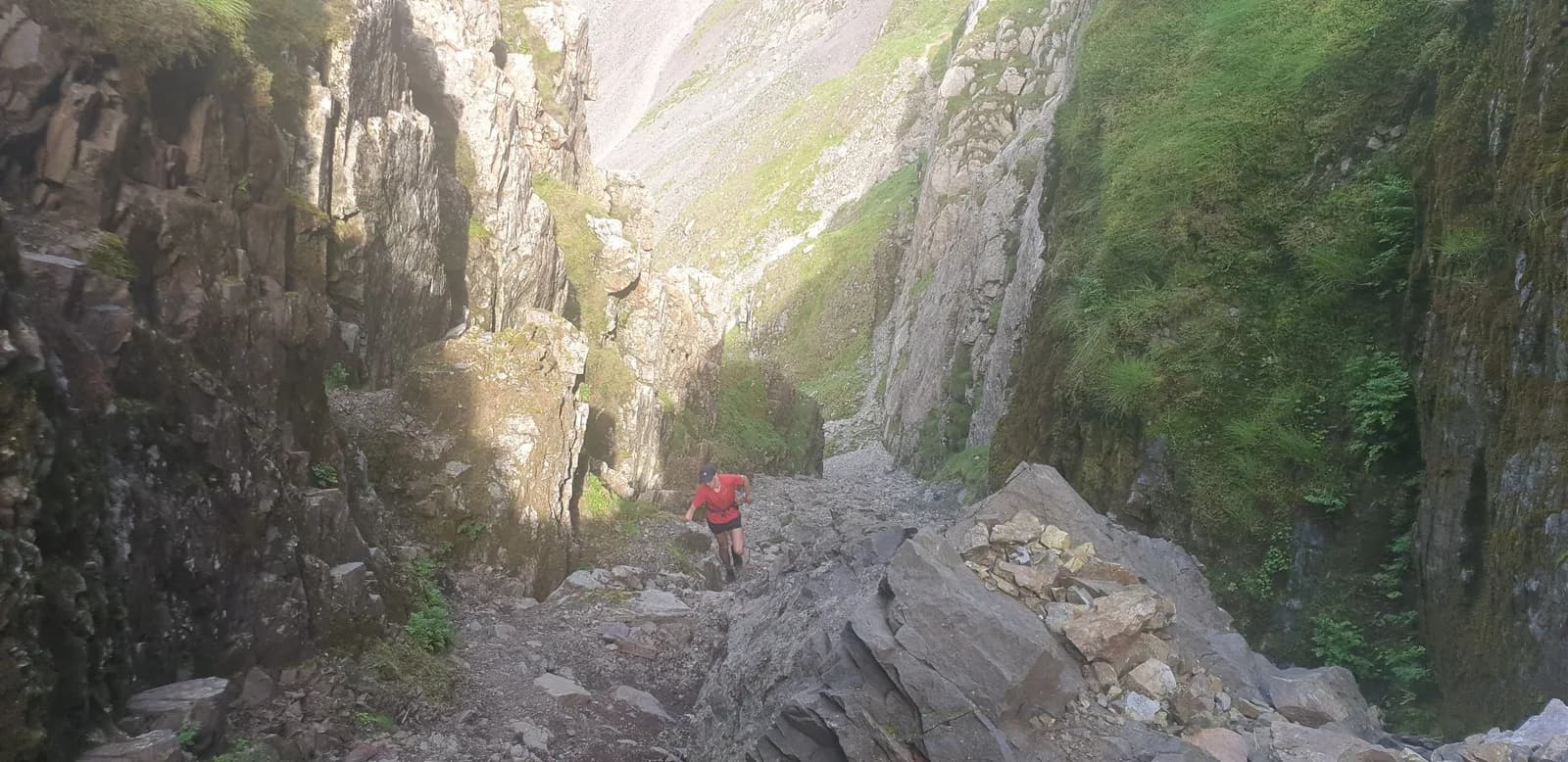
Striding Edge is the most famous arete in England and Swirral Edge its shorter, steeper sibling. Both are exposed, both are grade 1, and both are serious in wind or ice. A bypass path runs below the crest of Striding Edge for the worst of the exposure, but the top line is where the route earns its name. The little down-climb off the summit onto Swirral catches people out, so face in and take it steadily.
Why it works
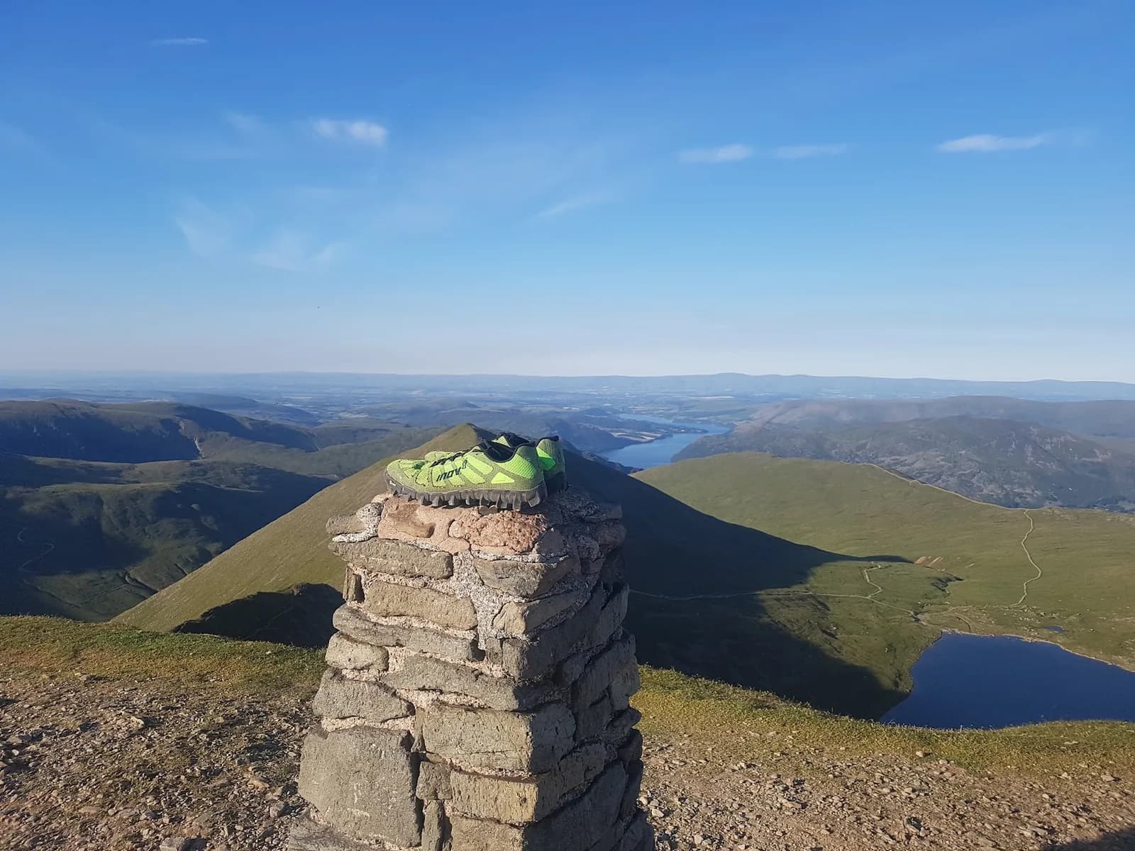
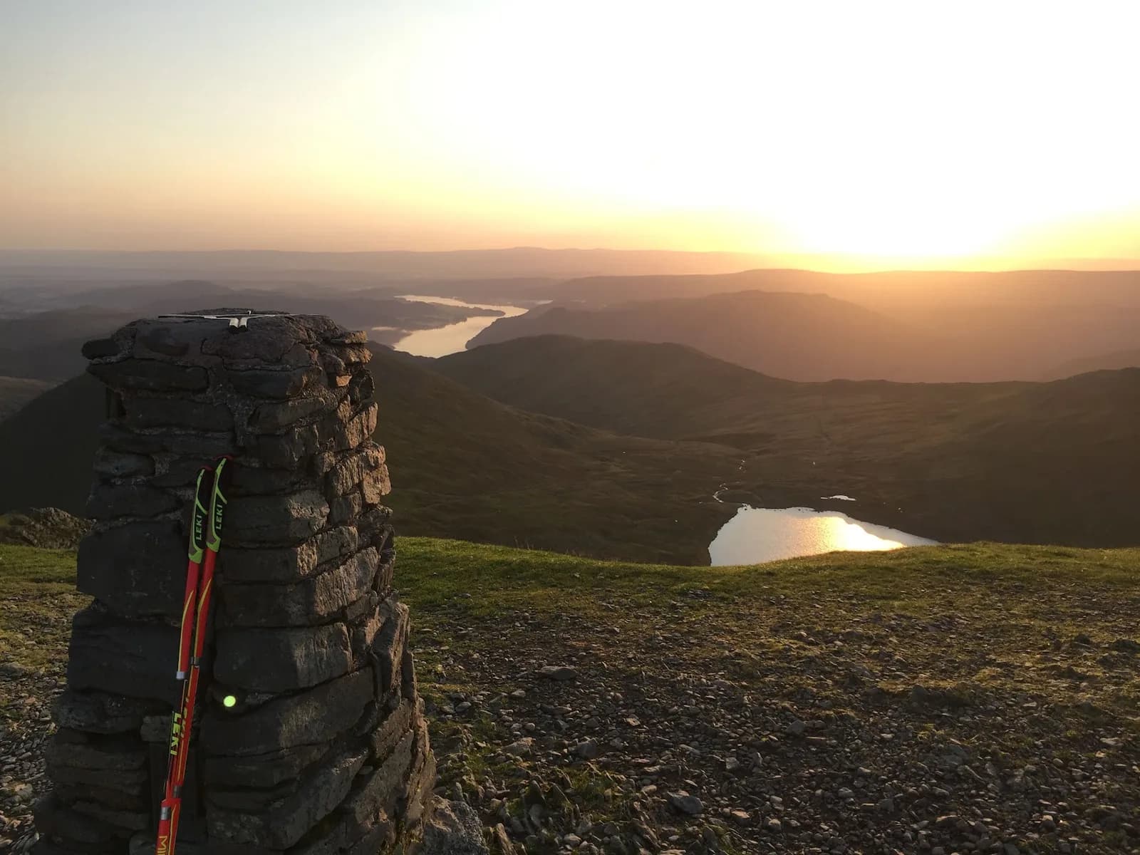
Doing Striding up and Swirral down is the logical, safest direction and keeps Red Tarn in view throughout. Helvellyn is a Wainwright of the Eastern Fells and the high point of the whole eastern chain, with Catstye Cam (890m) sitting a couple of minutes off the Swirral saddle if you want to bag it too. The approach past Lanty's Tarn and the Hole-in-the-Wall is runnable and gentle, lulling you before the rock begins. The running is in the approach and the run-off; the middle is hands-on and slow, so treat the stats as a guide, not a promise. This is the busiest high fell in England, so an early or out-of-season start pays off both for solitude and for clear passage along the arete when the crest is hands-on.

Partner · affiliate policy
Striding Edge and Swirral Edge are exposed grade 1 scrambles with fatal fall potential, and the step off the summit onto Swirral is awkward. Avoid in strong wind, wet rock or any winter conditions without axe and crampons.
Summits on this route
Safety on this route
- No signal? Text 999 — pre-register first: text register to 999
- Tell someone your route and expected return time before you head out
Leave No Trace
- Leave nothing but footprints, take nothing but memories.
- Please respect the countryside and all its inhabitants.
- Dogs on leads near livestock, and around ground-nesting birds from March to July.
- Gates as you find them — open or closed, leave it that way for the farmer and the next runner.
- Take it all home — wrappers, peel, tissue, the lot. It doesn't count as biodegradable if you can still see it.
- Stick to the path where the ground either side is wet, planted, or nesting habitat.
Common questions
- Most runners complete Helvellyn via Striding Edge and Swirral Edge from Patterdale in 2 hours 5 minutes to 2 hours 50 minutes, depending on pace and conditions.
Run by us· last checked July 2026
Jason Millward has run this route and written it up from the ground. How we check routes
About the author
Runner reports
Nobody's logged a run here yet. If you get out on it, a few lines about how it went helps the next person plan their day.



Routes nearby
Start from a town: Ambleside 12.8 km · Keswick 13.5 km
 VERY HARD
 VERY HARD
 VERY HARD
 EXPERT
 EXPERT
Races on this ground
All Lake District races →Races starting within 20 km of the Helvellyn via Striding Edge and Swirral Edge from Patterdale start, nearest first. If you are entered for one, this route is the rehearsal.
31
Oct
2026

Helvellyn Trails
Glenridding, Cumbria · Lakeland Trails · 0 miles away
Glenridding and the shores of Ullswater under Helvellyn, at the end of October.
HARD
Entries open
1
Nov
2026
Ullswater Trails
Glenridding, Cumbria · Lakeland Trails · 0 miles away
A steamer out and a run back along the lake shore.
HARD
Entries open
16
Jul
2027
provisional

Swirral Grind 850
Patterdale, Cumbria · Lake District Sky Trails · 1 miles away
Six kilometres, 850 metres up Swirral Edge.
Not open yet
17
Jul
2027
Helvellyn Sky Ultra
Patterdale, Cumbria · Lake District Sky Trails · 1 miles away
Fifty-seven kilometres over Helvellyn's ridges, 3,700 metres of ascent.
Entries open