Wharfedale Three Peaks
Three big Wharfedale summits with none of the crowds or paved paths, just rough moorland, bog and proper navigation across the roof of the dale.
Effort: Ultra distance and major ascent
Underfoot: Open fell or rough terrain
E5·T3 — how we grade routesMostly on runnable ground, but most runners still walk the steepest climbs.
A tough 35.2km round from Kettlewell over Great Whernside, Buckden Pike and Birks Fell, the quiet, rugged alternative to the better-known Yorkshire Three Peaks.
Three big Wharfedale summits with none of the crowds or paved paths, just rough moorland, bog and proper navigation across the roof of the dale.
The route
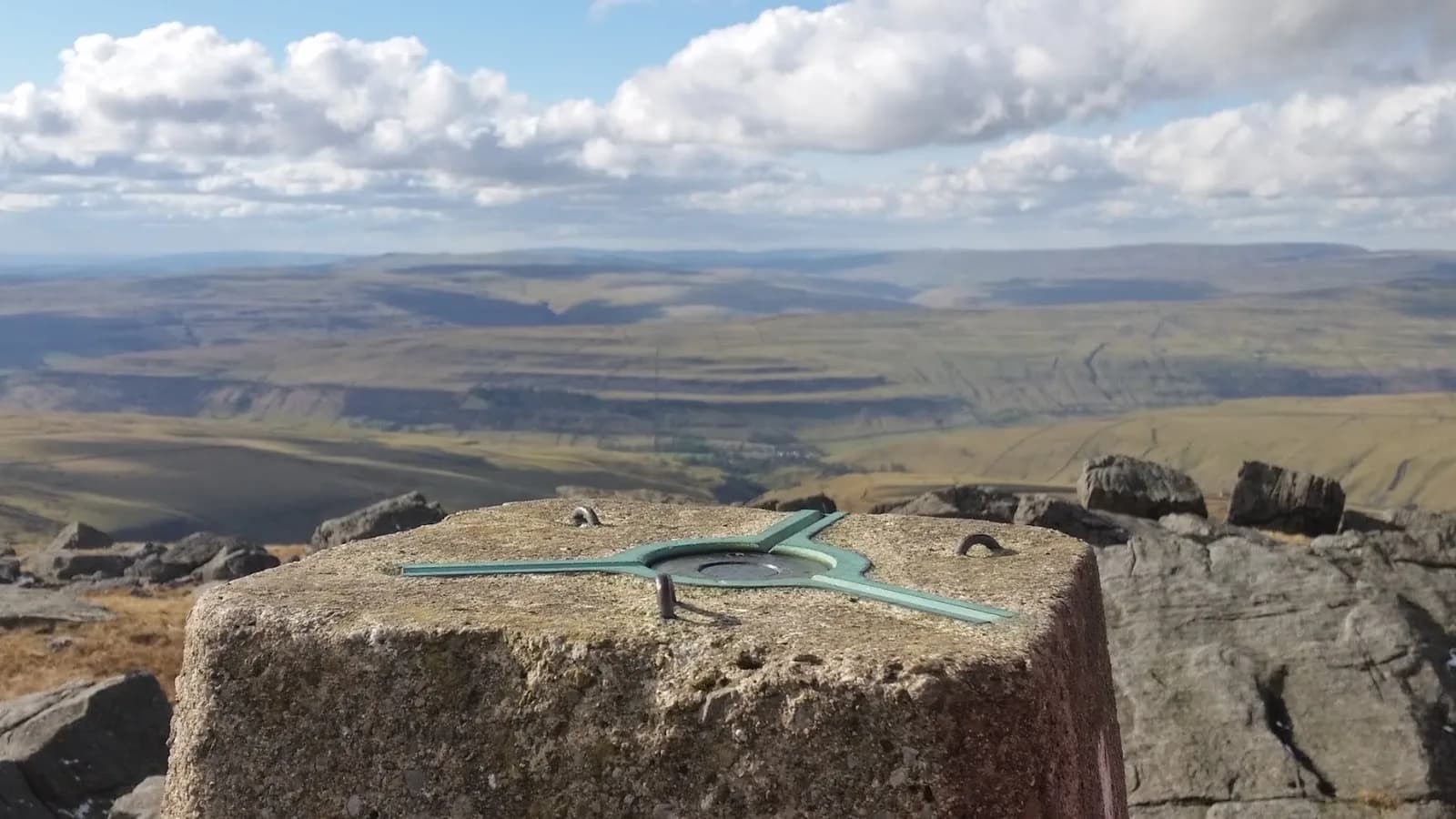
Based on the village of Kettlewell in Upper Wharfedale, this 35.2km round links the three highest tops above the dale. Run anti-clockwise, it saves the long pull over Birks Fell for last, when legs are tiring. The early climb gains Great Whernside at 704m, a rough, boulder-strewn summit that sets the tone, before a high crossing to Buckden Pike at 702m on the far side of the valley.
The peaks
Unlike the famous Yorkshire Three Peaks, there are no purpose-built paths here. The route crosses bog, tussock, farmland and open moor, often on faint sheep tracks or no track at all, with around 1,129m of climbing across the day. Buckden Pike carries a poignant memorial to a wartime aircrew, and from its top the route descends and recrosses the dale to climb Birks Fell at 610m, the final summit before the long drop back to Kettlewell.
Why it works
This is a connoisseur's round for runners who value solitude and self-reliance over signposts. The rough terrain and serious navigation make it feel far wilder than its distance suggests, and the views across Wharfedale and Langstrothdale are superb on a clear day. It is notoriously boggy, so choose a dry spell and decent visibility, and carry full kit. Kettlewell, with its pubs and tea room, makes a perfect base at the start and a welcome sight at the finish.
Getting there
Kettlewell is served by the 72 bus from Skipton and Grassington and has two National Park car parks, though it is a small place, so arrive early on busy weekends. This is the toughest navigation of the Wharfedale routes, with long pathless stretches, so save it for a clear, dry spell when the bogs are at their most forgiving and the becks at their lowest.
Rough, pathless moorland with persistent deep bog and serious navigation in cloud, plus beck crossings that can rise after rain. The tops are remote and fully exposed to weather.
Summits on this route
Safety on this route
- No signal? Text 999 — pre-register first: text register to 999
- Tell someone your route and expected return time before you head out
Leave No Trace
- Leave nothing but footprints, take nothing but memories.
- Please respect the countryside and all its inhabitants.
- Dogs on leads near livestock, and around ground-nesting birds from March to July.
- Gates as you find them — open or closed, leave it that way for the farmer and the next runner.
- Take it all home — wrappers, peel, tissue, the lot. It doesn't count as biodegradable if you can still see it.
- Stick to the path where the ground either side is wet, planted, or nesting habitat.
Common questions
About the author
Runner reports
Ran this route? Rate it, share conditions, log your time — helps other runners plan their day.
No runner feedback yet
Be the first to run this and report back — ratings appear once a few runners have shared their experience.
No runs logged yet — be the first.

More routes in Yorkshire Dales
 HARD
HARD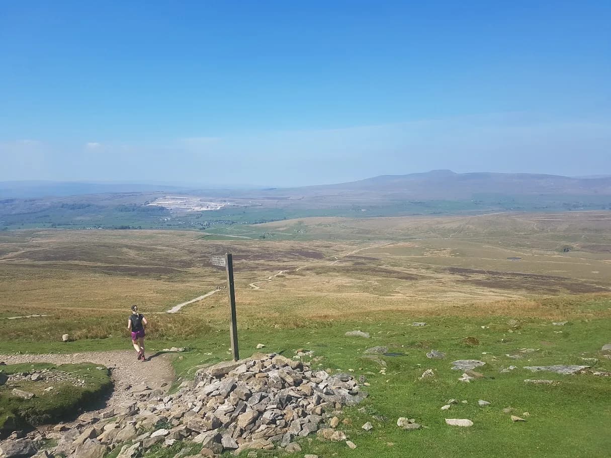 EXPERT