Comrie Hills Loop
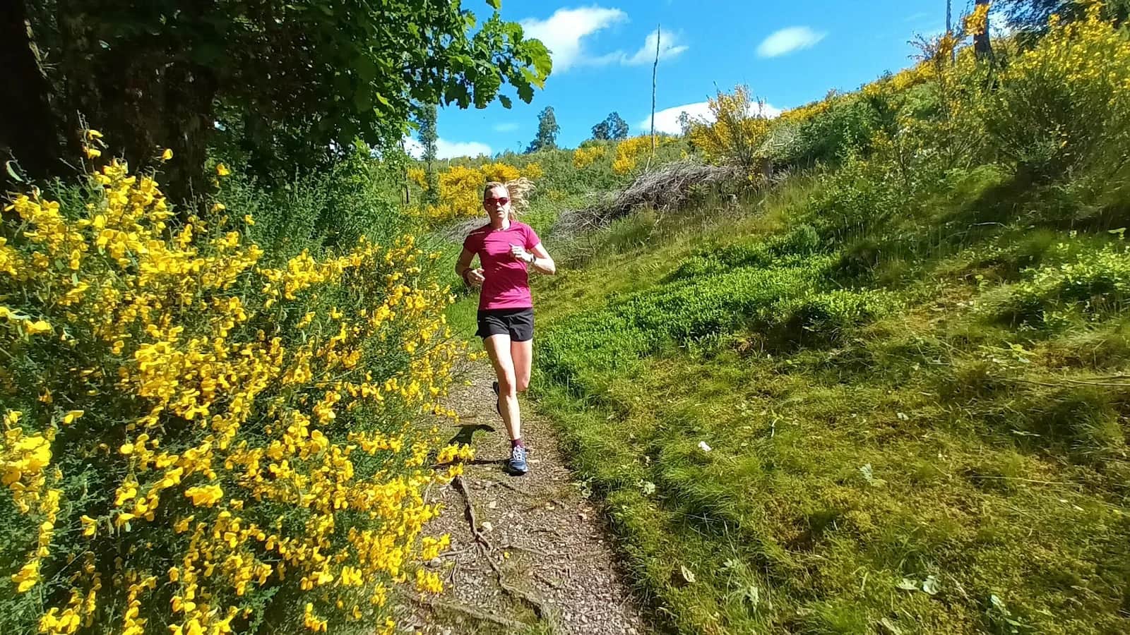
You get a big-feeling Highland viewpoint at the Melville Monument and a dramatic gorge waterfall, all on runnable forest tracks with barely 508m of climbing.
No photos of this route yet. Sign in to add one
Mostly on runnable ground, but most runners still walk the steepest climbs.
A 16.8km woodland and low-hill loop from Comrie in Strathearn, climbing through Glen Lednock to the Melville Monument and past the Deil's Cauldron falls before returning to the village.
You get a big-feeling Highland viewpoint at the Melville Monument and a dramatic gorge waterfall, all on runnable forest tracks with barely 508m of climbing.
The route
This loop starts in the village of Comrie, where Glen Lednock and Glen Artney meet at the southern edge of the Highlands. From the School Road car park you follow the well-made Glen Lednock circular up through mixed woodland, the River Lednock dropping away to your side. The running is fast and forgiving here, mostly forest track and firm path, gaining height steadily rather than steeply across the 16.8km.
The viewpoint
The high point of the day is Dun Mor, where the granite obelisk of the Melville Monument stands above the trees. At around 350m it is the top of the route, and the reward is a wide view over Strathearn and out to the bigger hills to the north. From here the loop curves back down through the glen, with the option to drop in at the Deil's Cauldron, where the Lednock has carved a high cascading waterfall into a tight rock gorge. Take care on the viewing platforms when the rock is wet.
Why it works
For a route with so little serious climbing, this packs in a lot: ancient woodland, a proper summit obelisk, a waterfall gorge and easy village access at both ends. It is an ideal steady run when the high tops are in cloud, or a relaxed long run on tired legs. Note that Comrie sits just outside the Loch Lomond and The Trossachs National Park boundary, so this is Highland Perthshire rather than the park proper.
Underfoot and seasons
The surfaces stay runnable in most conditions, though the forest tracks hold water and churn after heavy rain. Comrie is famous as Scotland's earthquake capital, sitting astride the Highland Boundary Fault, and the route traces that very edge between lowland and Highland. Autumn brings the best colour through the glen, while clear winter days give the sharpest views north from the monument over the snow-dusted Perthshire hills.

Partner · affiliate policy
Wet rock and exposed drops at the Deil's Cauldron viewing platforms. Forest tracks can be churned and muddy after rain, and some sections cross working forestry where felling may divert the path.
Safety on this route
- No signal? Text 999 — pre-register first: text register to 999
- Tell someone your route and expected return time before you head out
Leave No Trace
- Leave nothing but footprints, take nothing but memories.
- Please respect the countryside and all its inhabitants.
- Dogs on leads near livestock, and around ground-nesting birds from March to July.
- Gates as you find them — open or closed, leave it that way for the farmer and the next runner.
- Take it all home — wrappers, peel, tissue, the lot. It doesn't count as biodegradable if you can still see it.
- Stick to the path where the ground either side is wet, planted, or nesting habitat.
Common questions
- Most runners complete Comrie Hills Loop in 2 hours 15 minutes to 3 hours 5 minutes, depending on pace and conditions.
Run by us· last checked June 2026
Jason Millward has run this route and written it up from the ground. How we check routes
About the author
Runner reports
Nobody's logged a run here yet. If you get out on it, a few lines about how it went helps the next person plan their day.



Start from a town: Comrie 0.3 km
 VERY HARD