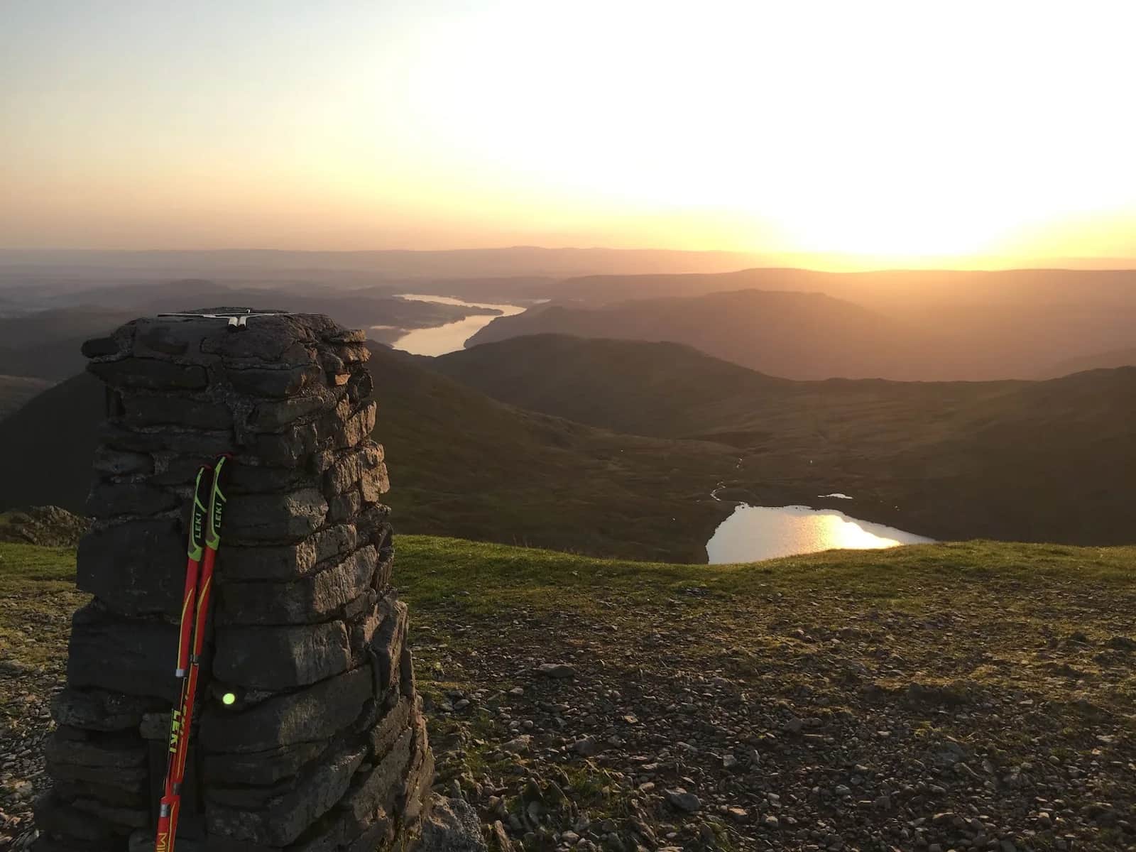
Bob Graham Round Leg 2: Threlkeld to Dunmail Raise
It is the great runnable middle of the Bob Graham: a near-continuous high ridge where you can hold a rhythm over twelve tops without ever dropping to the valley.
Effort: Shorter distance, major ascent
Underfoot: Open fell or rough terrain
E5·T3 — how we grade routesNo photos of this route yet. Sign in to add one
A real mix of running and walking — expect significant climbing.
The second leg of the Bob Graham Round, 22.3km from Threlkeld to Dunmail Raise over the full Dodds and Helvellyn ridge with 1690m of climb and twelve summits.
It is the great runnable middle of the Bob Graham: a near-continuous high ridge where you can hold a rhythm over twelve tops without ever dropping to the valley.
The route
Leg 2 of the Bob Graham Round leaves the road at Threlkeld and climbs straight onto Clough Head (726m), the northern gatepost of the Helvellyn range. From there it rides the ridge south the whole way to Dunmail Raise: Great Dodd (857m), Watson's Dodd, Stybarrow Dodd, Raise, White Side, Helvellyn Lower Man and Helvellyn (950m), then Nethermost Pike and Dollywaggon Pike, before the dog-leg east over Fairfield (873m) and the final drop over Seat Sandal to the road. It is 22.3km with 1690m of ascent and twelve summits, the most flowing leg of the round.
Bob Graham context
The Bob Graham Round is the Lake District's classic 24-hour challenge: 66 miles and around 8,200m of ascent over 42 fells, starting and finishing at Keswick Moot Hall, first completed by Bob Graham over 12 to 13 June 1932. The five legs are divided by road-crossing support points, and Leg 2 runs from the Threlkeld changeover to the busy Dunmail Raise stop on the A591. Aspirants on a clockwise round usually reach here in the small hours, which is why knowing this ridge in the dark matters.
Why it works
As a stand-alone outing this is some of the best ridge running in England: high, grassy and fast, with twelve Wainwrights banked in a single line. The climb is front-loaded onto Clough Head, after which the gradients ease into rolling tops. Recce it in daylight before any Bob Graham attempt, because in cloud the Dodds are featureless and the Helvellyn edges drop away to the east. Carry map and compass and pick your line off Seat Sandal carefully to land at the Raise. The dog-leg to Fairfield and back is where time and morale leak away, so know exactly where you leave the main ridge and rejoin it. Schedule cards typically allow strong contenders a little over three hours for this leg, but as a day out in its own right there is no clock, just a superb high traverse from Clough Head to the road.

Partner · affiliate policy
The Dodds are featureless in cloud and easy to wander off; Helvellyn's east face is corniced in winter. As a Bob Graham leg it is often run at night, so navigation and pacing in the dark are the real risks.
Summits on this route
Safety on this route
- No signal? Text 999 — pre-register first: text register to 999
- Tell someone your route and expected return time before you head out
Leave No Trace
- Leave nothing but footprints, take nothing but memories.
- Please respect the countryside and all its inhabitants.
- Dogs on leads near livestock, and around ground-nesting birds from March to July.
- Gates as you find them — open or closed, leave it that way for the farmer and the next runner.
- Take it all home — wrappers, peel, tissue, the lot. It doesn't count as biodegradable if you can still see it.
- Stick to the path where the ground either side is wet, planted, or nesting habitat.
Common questions
- Most runners complete Bob Graham Round Leg 2: Threlkeld to Dunmail Raise in 3 hours 55 minutes to 5 hours 20 minutes, depending on pace and conditions.
Run by us· last checked July 2026
Jason Millward has run this route and written it up from the ground. How we check routes
About the author
Runner reports
Nobody's logged a run here yet. If you get out on it, a few lines about how it went helps the next person plan their day.



Routes nearby
Start from a town: Keswick 6.1 km
 VERY HARD
 VERY HARD
 EXPERT
 EXPERT
 HARD
HARD HARD
HARDRaces on this ground
All Lake District races →Races starting within 20 km of the Bob Graham Round Leg 2: Threlkeld to Dunmail Raise start, nearest first. If you are entered for one, this route is the rehearsal.
27
Jun
2027
provisional

Blencathra Fell Race
Mungrisdale, Cumbria · Eden Runners · 4 miles away
Straight up Blencathra and back from Mungrisdale, on the classic enforced route.
Not open yet
24
Oct
2026

Ultra England 50
Keswick, Cumbria · GB Ultras · 4 miles away
Fifty-four Lakeland miles from Keswick.
EXPERT
Entries open
14
Mar
2027
provisional
Carrock Fell Race
Calebreck car park, Caldbeck, Cumbria · Northern Fells Running Club · 7 miles away
Nine kilometres and five hundred metres of climb over Carrock Fell and High Pike.
Not open yet
31
Oct
2026
Helvellyn Trails
Glenridding, Cumbria · Lakeland Trails · 7 miles away
Glenridding and the shores of Ullswater under Helvellyn, at the end of October.
HARD
Entries open