Elterwater and Ivy Crag
Ivy Crag gives you the whole Langdale valley laid out below for a modest climb, and the loop links three lakes and a tarn without ever feeling like a slog.
No photos of this route yet. Sign in to add one
A 22.6km loop from Elterwater onto the Loughrigg fells and back through the Langdale valley, taking in Ivy Crag and long views over the lake. Around 1,060m of climbing across varied fell and woodland ground.
Ivy Crag gives you the whole Langdale valley laid out below for a modest climb, and the loop links three lakes and a tarn without ever feeling like a slog.
The route
Start at Elterwater and work round onto the Loughrigg fells, following fell path and woodland track for 22.6km with around 1,060m of climbing. The loop takes in Ivy Crag on the Loughrigg shoulder, the terrace paths above Rydal, and the low ground back through the Langdale valley. It is a longer outing that stays mostly runnable, linking repeated fell climbs with a string of viewpoints and lower valley sections.
Ivy Crag
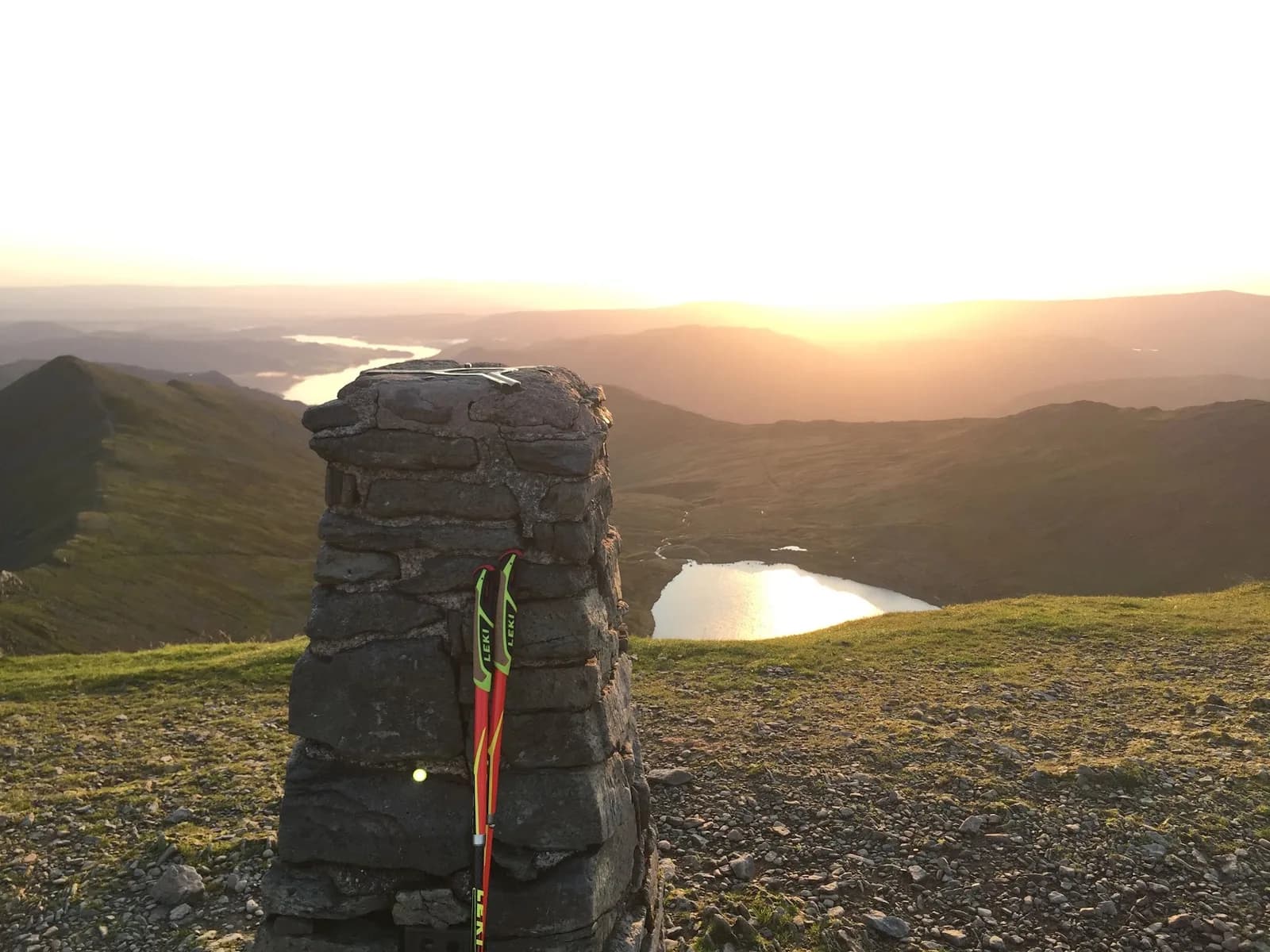
Ivy Crag is a modest rocky top on the sprawling Loughrigg fell, and its value is out of all proportion to its height. From up here the Langdale Pikes stack up ahead, Elter Water and Windermere shine below, and the whole valley opens out. Loughrigg is a maze of little paths and knolls, so the running is playful rather than relentless, with plenty of short climbs and quick descents to keep it interesting.
Why it works
This is a route for a good all-round day: enough distance to feel it, substantial cumulative climbing without committing to the highest fells. The ground is a genuine mix of woodland, terrace path, open fell and valley track, some of it rocky and some of it wet, so it is varied rather than fast. Navigation on Loughrigg needs a little care, as the tangle of paths can confuse in mist, so keep the map handy on the tops. Lower down, the paths are obvious and well used. Elterwater and Skelwith at the start and finish give you pubs and cafes, and the loop links easily into longer Langdale days if you want more. Save the exposed sections for clear weather to make the most of what Ivy Crag offers. On a clear evening the light off Windermere from the top is reason enough to save this one for a good forecast.

Partner · affiliate policy
The web of paths on Loughrigg confuses easily in mist, so map skills help on the tops. Rocky sections and tree roots are slippery when wet, and the fell holds boggy ground after rain.
Summits on this route
Safety on this route
- No signal? Text 999 — pre-register first: text register to 999
- Tell someone your route and expected return time before you head out
Leave No Trace
- Leave nothing but footprints, take nothing but memories.
- Please respect the countryside and all its inhabitants.
- Dogs on leads near livestock, and around ground-nesting birds from March to July.
- Gates as you find them — open or closed, leave it that way for the farmer and the next runner.
- Take it all home — wrappers, peel, tissue, the lot. It doesn't count as biodegradable if you can still see it.
- Stick to the path where the ground either side is wet, planted, or nesting habitat.
Common questions
- Most runners complete Elterwater and Ivy Crag in 3 hours 20 minutes to 4 hours 35 minutes, depending on pace and conditions.
Run by us
Jason Millward has run this route and written it up from the ground. How we check routes
About the author
Runner reports
Nobody's logged a run here yet. If you get out on it, a few lines about how it went helps the next person plan their day.



Routes nearby
Start from a town: Ambleside 4.9 km · Coniston 7.5 km · Windermere 10.7 km
 MODERATE
 EXPERT
Races on this ground
All Lake District races →Races starting within 20 km of the Elterwater and Ivy Crag start, nearest first. If you are entered for one, this route is the rehearsal.
20
Mar
2027
Grasmere Wild Trail Runs
Grasmere Lakeland Sports & Show Stock Ln, Grasmere, Ambleside La22 9Sj · Wild Deer Events · 2 miles away
Five, ten or twenty-one kilometres from the Grasmere showfield.
HARD
Not open yet
10
Oct
2026
Lakes in a Day Half
Ambleside, Cumbria · Durty Events · 3 miles away
Ambleside to Cartmel on a waymarked route, joining the big one as it comes through.
VERY HARD
Entries open
10
Jul
2027
Lakeland Trails Ultra
Ambleside, Cumbria · Lakeland Trails · 3 miles away
A hundred kilometres from a minute past midnight, or fourteen in the morning.
HARD TO EXPERT
Entries open
26
Sept
2026
7 Valleys Ultra
Waterhead, Ambleside, Cumbria · 13 Valleys Ultra · 3 miles away
Waterhead to Keswick the long way, over High Street and through the central fells.
Event full