Trail running near Ambleside
28 routes within 15km · free GPX downloads
 VERY HARD
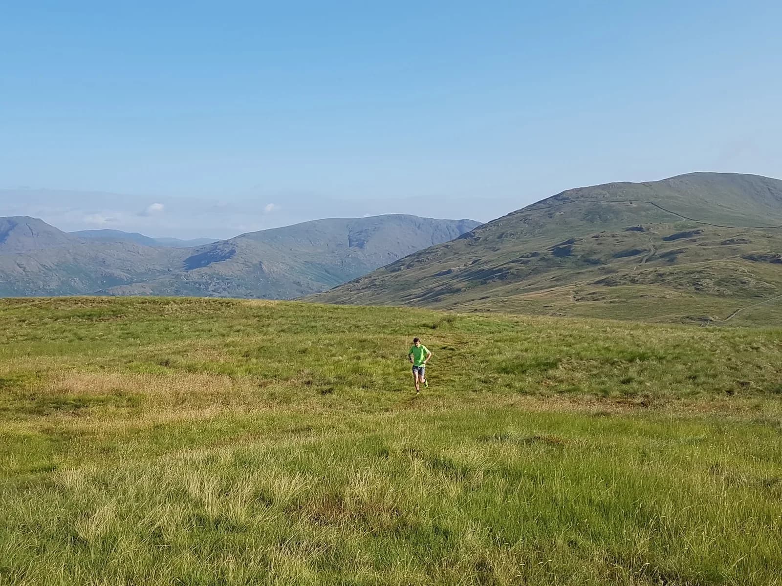
Wansfell Pike, Sour Howes and Sallows from Ambleside
Three Wainwrights for the price of one popular summit, swapping the crowds of Wansfell Pike for the empty grassy tops of Sour Howes and Sallows.
Checked Jul 2026
 HARD
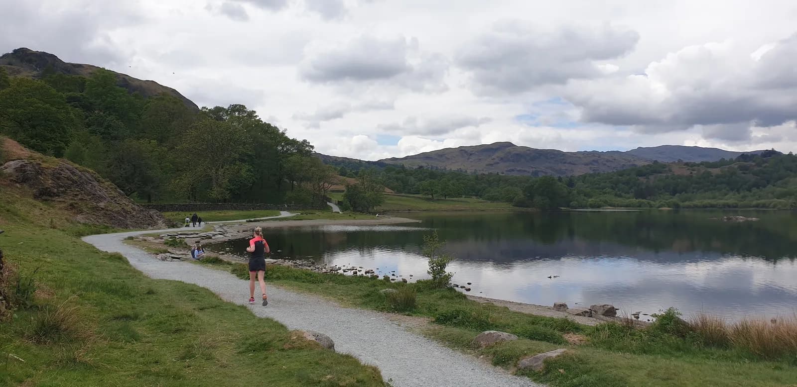
HARDAmbleside Low Level Loop
Rydal Water, Grasmere, woodland paths, and those views - all without setting foot on a major fell. This is what the Lakes are for on an easy-legs day.
Checked Jul 2026
HARD
Lakeland Trails Ambleside 14k
You get the full Lakeland Trails Ambleside route: a climb through ancient Skelghyll Woods to the Jenkin Crag view over Windermere, then a fell finish over Loughrigg with the Langdale Pikes ahead.
VERY HARD
Scandale Horseshoe from Ambleside
Scandale is the quiet valley next door to the crowded Fairfield Horseshoe, so you get the same big eastern-fell views and ridgelines with a fraction of the traffic.
 EXPERT
Helvellyn Double
It takes two of the Lake District's best-known summits and links them properly, so instead of picking Fairfield or Helvellyn for the day, you get both, with the climbing to prove it.
Checked Jul 2026
MODERATE
Vale of Rydal
You get the full Wordsworth vale, Rydal Water, Grasmere and the paths the poet knew by heart, on a longer low loop that keeps the running easy and the scenery constant.
HARD
Rydal Water and Loughrigg Terrace
Loughrigg Terrace serves up the classic view down Grasmere, and the loop drops you past the great cavern of Rydal Cave, all on gentle ground between two of the loveliest small lakes in the district.
 EXPERT
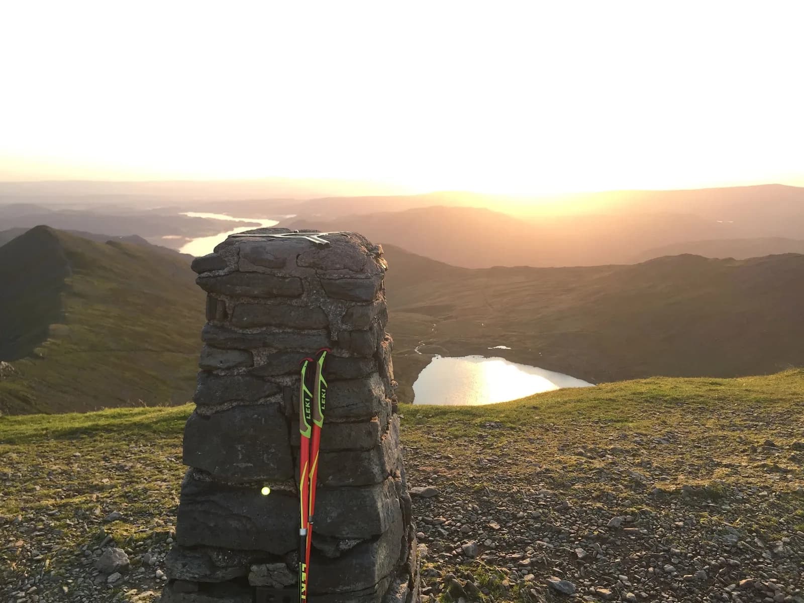
Fairfield Horseshoe Extended
You get the full Fairfield ridge plus a there-and-back tag of Helvellyn thrown in, so a route runners already know becomes a proper full-day mountain outing without ever leaving a path.
Checked Jul 2026
MODERATE
Wray Castle and Claife
You run the quiet west shore of Windermere, England's largest lake, with a mock-Gothic castle at the start and the restored Claife Viewing Station framing the classic view across the water.
 MODERATE
Grasmere, Rydal Caves and the Coffin Route
You run into the huge man made chamber of Rydal Cave and back along the centuries old Coffin Route, all on gentle paths between two lakes.
Checked Jul 2026
MODERATE
Cathedral Cave from Elterwater
You run straight into Cathedral Cave, a vast slate chamber with a pillar of rock holding up the roof and a shaft of daylight coming through. It is one of the strangest, best places to stop mid-run in the Lakes.
Checked Jul 2026
VERY HARD
Elterwater and Ivy Crag
Ivy Crag gives you the whole Langdale valley laid out below for a modest climb, and the loop links three lakes and a tarn without ever feeling like a slog.
HARD
Helm Crag, Calf Crag and Steel fell from Grasmere
Helm Crag gives you the Lion and the Lamb, the most recognisable summit rocks in the Lakes, and the ridge beyond turns a short outing into a proper little horseshoe above Grasmere.
Checked Jul 2026
HARD
Hawkshead and Tarn Hows
You link two of the most photographed spots in the southern Lakes, the necklace of Tarn Hows and the reedy shore of Esthwaite Water, on quiet paths that stay low and runnable throughout.
HARD
Kentmere Valley Circuit
Kentmere is one of the few Lakeland valleys with no through road and no crowds, so you get big fell scenery and quiet lanes a short run from Staveley's cafes.
Checked Jul 2026
 VERY HARD
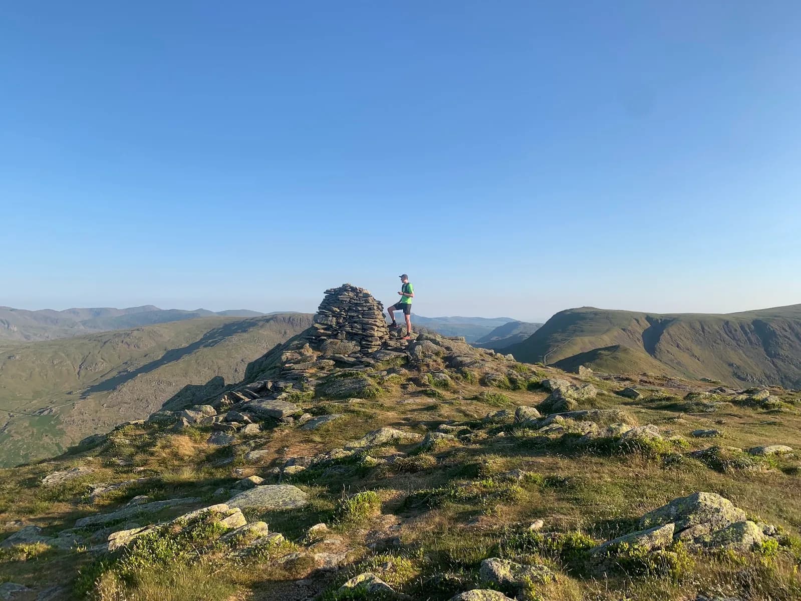
Kentmere Horseshoe
High-level ridge running with minimal descent until the end. The views across Kentmere Reservoir and to the surrounding fells are some of the best in the eastern Lakes.
Checked Jul 2026
 EXPERT
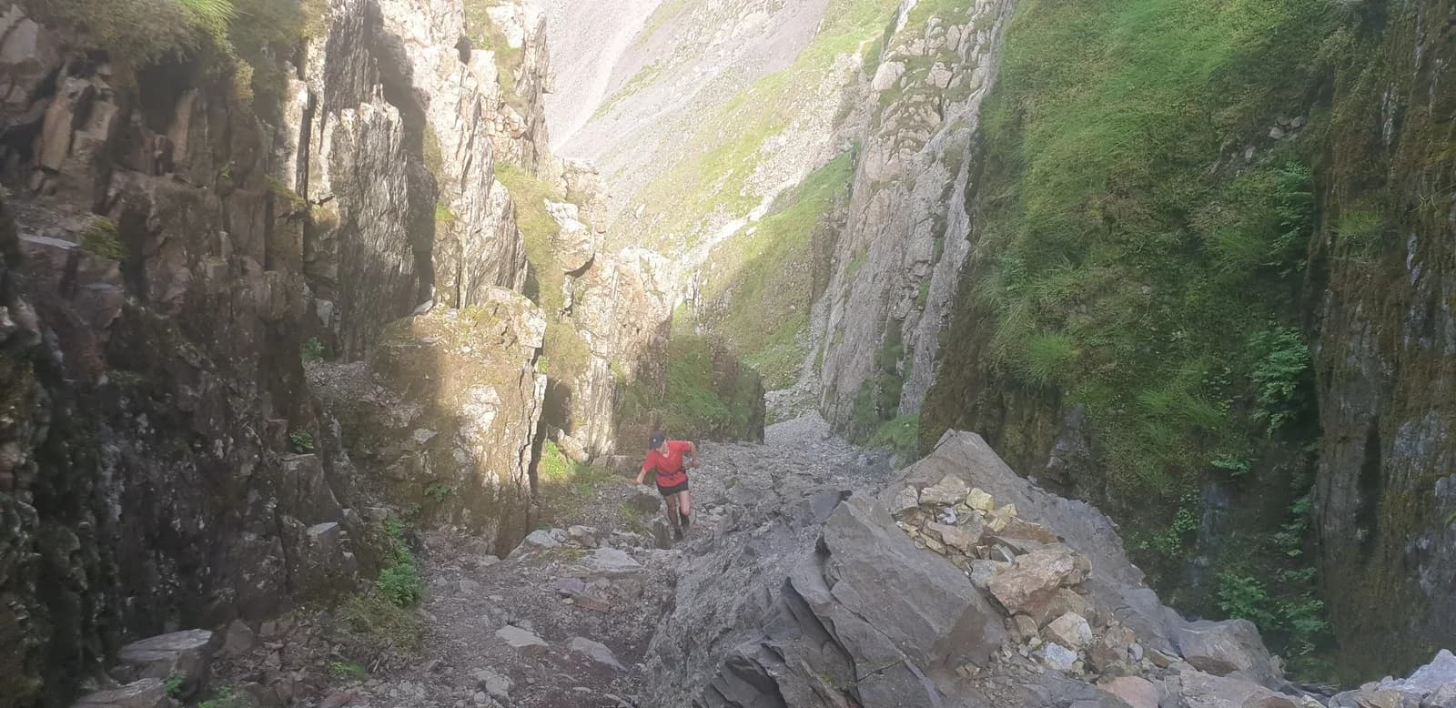
Bob Graham Round Leg 3: Dunmail Raise to Wasdale Head
This is the heart and the crux of the Bob Graham: the Langdale Pikes, the highest ground in England over the Scafells, and the notorious Broad Stand step onto Scafell.
Checked Jul 2026
 HARD
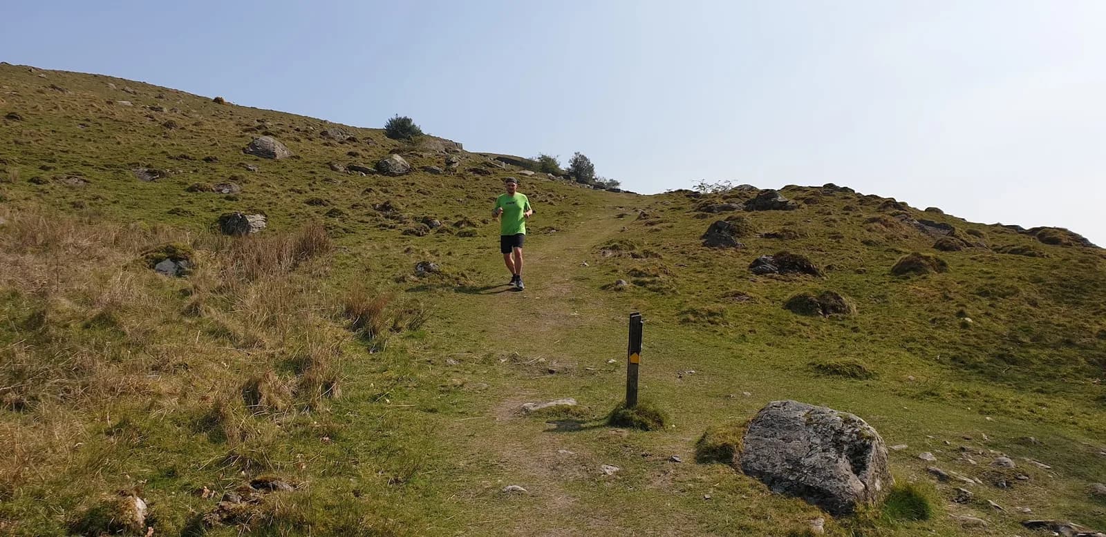
HARDStaveley and Kentmere Valley
Low-key Lake District running at its best. No crowds, good tracks, and the Hawkshead Brewery tap at the end. The Lakes without fighting for parking at Wasdale.
Checked Jun 2026
HARD
Longsleddale from Staveley
Longsleddale has no honeypot, no big car park and almost no visitors, just a single road to Sadgill and a valley that feels a century behind the rest of the Lakes.
Checked Jul 2026
 HARD
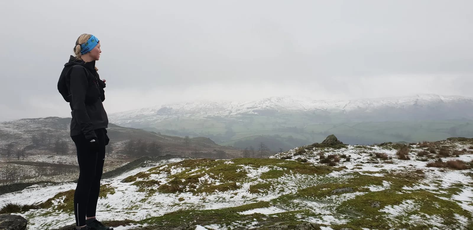
HARDReston Scar and Brunt Knott
Underrated terrain in a part of the Lakes most runners skip over. Reston Scar gives you proper fell on a short day, without the crowds of the central fells.
Checked Jun 2026
VERY HARD
Garburn Pass from Staveley
The Garburn Pass is one of the great old cross-fell tracks, and this loop links it with the quiet Kentmere and Troutbeck valleys for a big day that stays almost entirely runnable.
Checked Jul 2026
 HARD
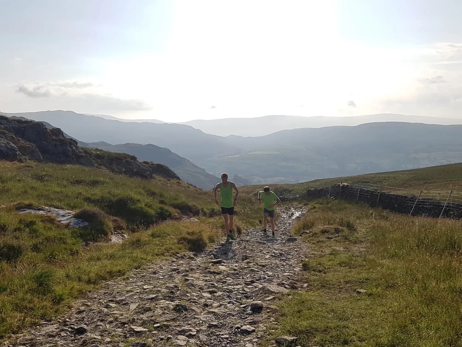
HARDSallows and Sour Howes from Staveley
These two fells sit between Kentmere and Troutbeck without belonging to either valley's usual round, so you get proper Lakeland ridge running with almost nobody else on it.
Checked Jul 2026
HARD
Staveley Round
You get a varied round of the quiet fells and valleys right on Staveley's doorstep, with Wilf's Cafe and the Mill Yard waiting the moment you finish.
 EXPERT
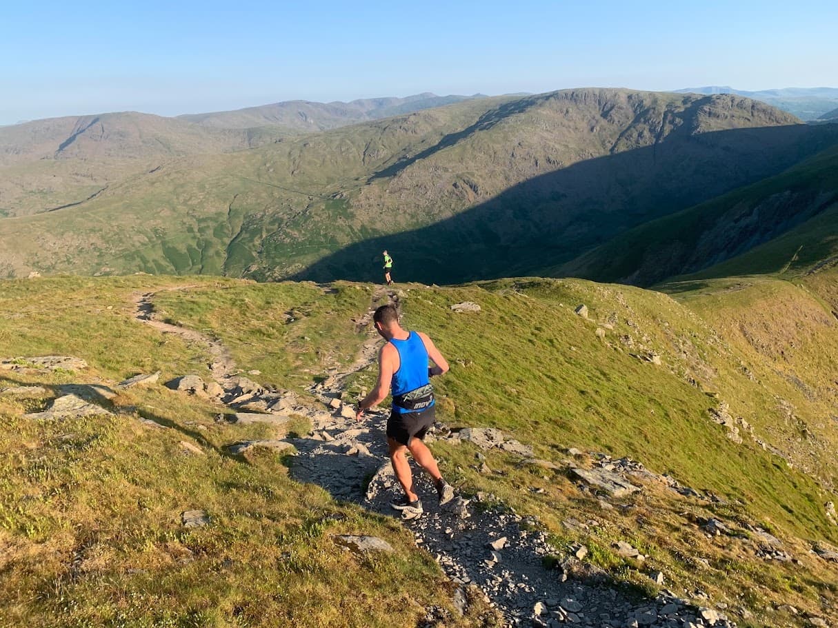
Ultra Tour of Staveley
This is a commitment. Five distinct fell ridges, two remote valleys, and enough climbing to earn a very large meal. Plan your food, check the forecast, and don't set off late.
Checked Jun 2026
 VERY HARD
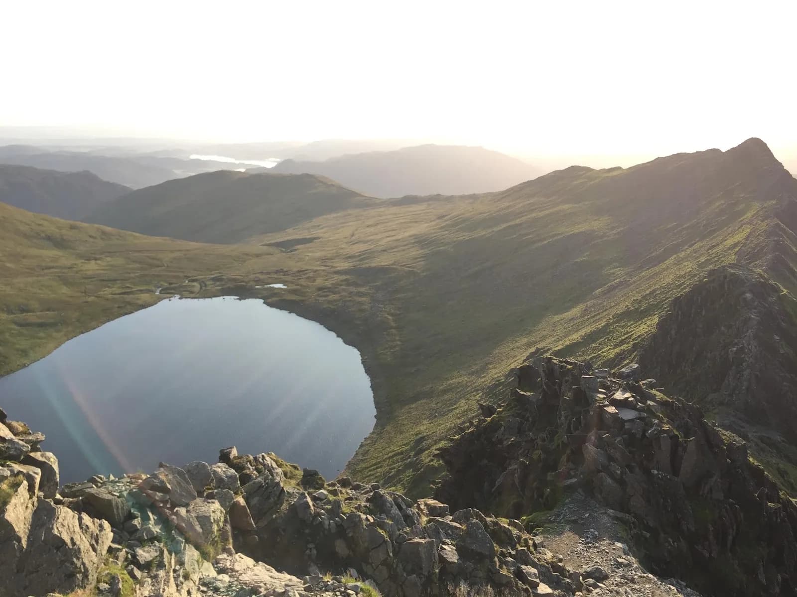
Helvellyn via Striding Edge and Swirral Edge from Patterdale
This is the postcard round of Helvellyn: up the knife-edge of Striding Edge, across the 950m summit, and down Swirral with Red Tarn below the whole way.
Checked Jul 2026
 VERY HARD
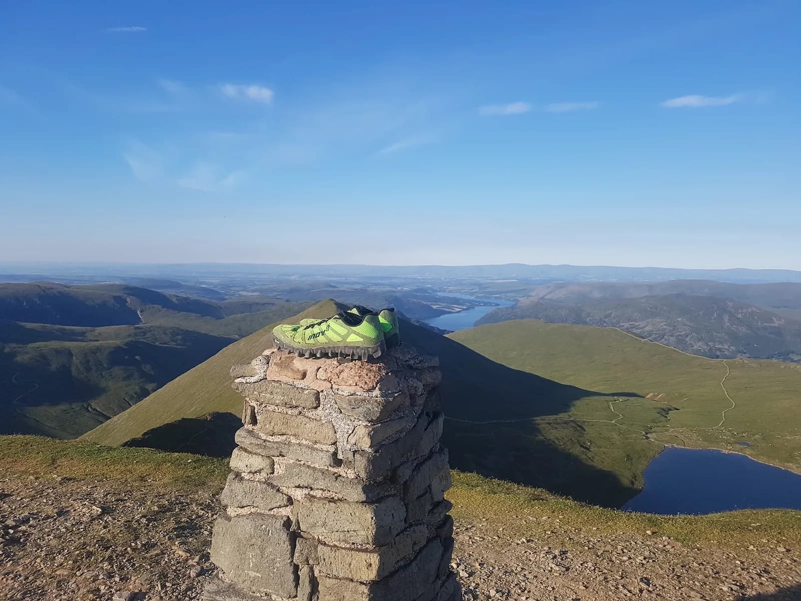
Helvellyn Range and St Sunday Crag from Glenridding
Seven summits of the Eastern Fells in one continuous high-level horseshoe, finishing over St Sunday Crag with Ullswater filling the view ahead.
Checked Jul 2026
 VERY HARD
Helvellyn via Swirral Edge and Striding Edge from Thirlmere
You get the two most famous ridges on the fell, Swirral and Striding Edge, on a route that still starts and finishes on the quiet Thirlmere side.
Checked Jul 2026
 VERY HARD
Helvellyn from Thirlmere
You gain the summit of a 950m Wainwright in well under an hour of climbing, then drop back to the car on grass you can really open up on.
Checked Jul 2026
Guides to running from Ambleside
- Best Trail Runs From Ambleside: 10 Lake District Routes
Ten trail routes from Ambleside, 9.8km to 36.7km, with free GPX. Honest TRP grades from Moderate to Expert, and what each one is actually like.
Running near Ambleside
Ambleside sits at the head of Windermere with direct access to the central fells — Fairfield, the Helvellyn range and the quieter Troutbeck valley.
In an emergency
Call 999 or 112 — ask for Police then Mountain Rescue.
No signal? Pre-register SMS: text register to 999.
Common questions
- There are 28 trail running routes within 15km of Ambleside on Trail Running Planet, ranging from easy riverside paths to serious fell routes. All include free GPX downloads.