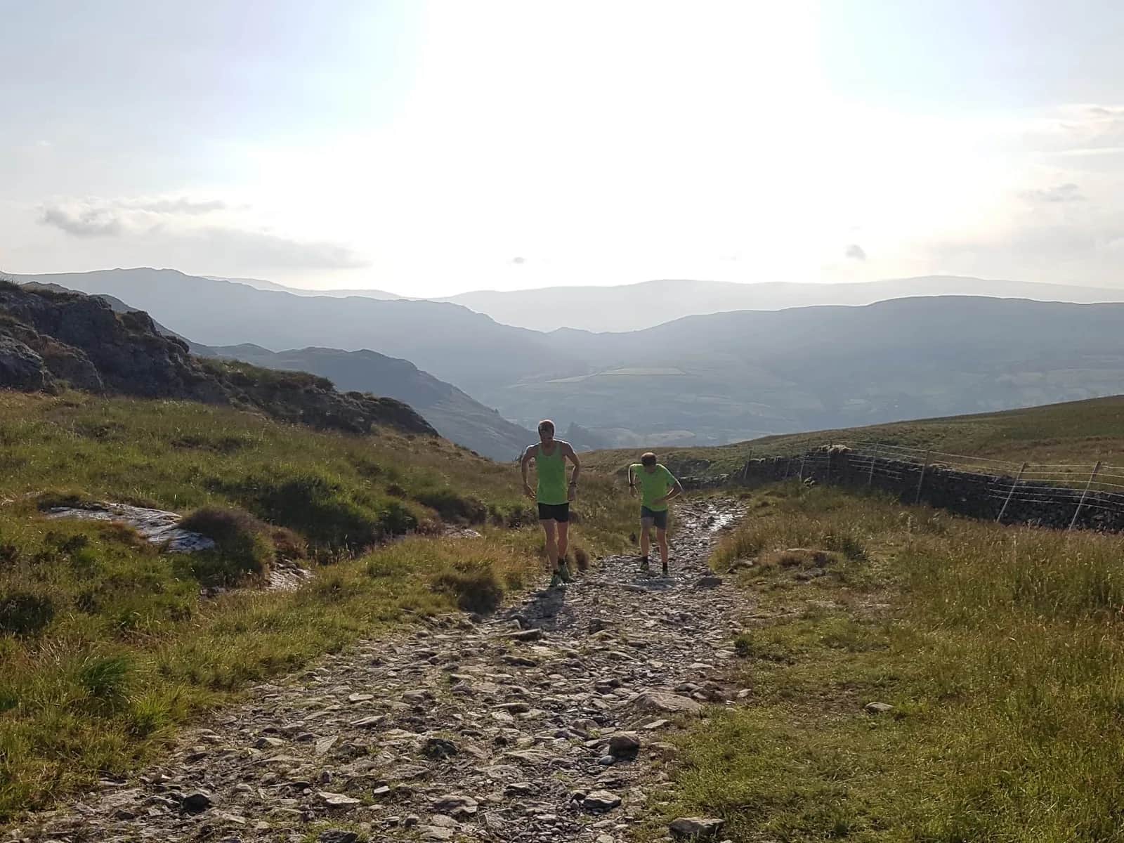
Sallows and Sour Howes from Staveley
These two fells sit between Kentmere and Troutbeck without belonging to either valley's usual round, so you get proper Lakeland ridge running with almost nobody else on it.
Effort: Good distance, solid climb
Underfoot: Some uneven or off-path ground
E3·T2 — how we grade routesNo photos of this route yet. Sign in to add one
A quiet 19.3km loop from Staveley up Garburn Pass to two of the Lake District's gentler summits, Sallows and Sour Howes, with 480m of climbing and views into Kentmere and Troutbeck from ground you'll likely have to yourself.
These two fells sit between Kentmere and Troutbeck without belonging to either valley's usual round, so you get proper Lakeland ridge running with almost nobody else on it.
The route
From Staveley, follow the valley up toward Kentmere before turning onto the old drove road of Garburn Pass. Where the pass tops out, the route breaks off along the ridge to Sallows, the summit of Kentmere Park at 516m, then continues around the horseshoe-shaped high ground to Sour Howes at 483m. Both are grassy, rounded tops rather than rocky fells, which is exactly why they get overlooked in favour of their higher neighbours.
The ground itself
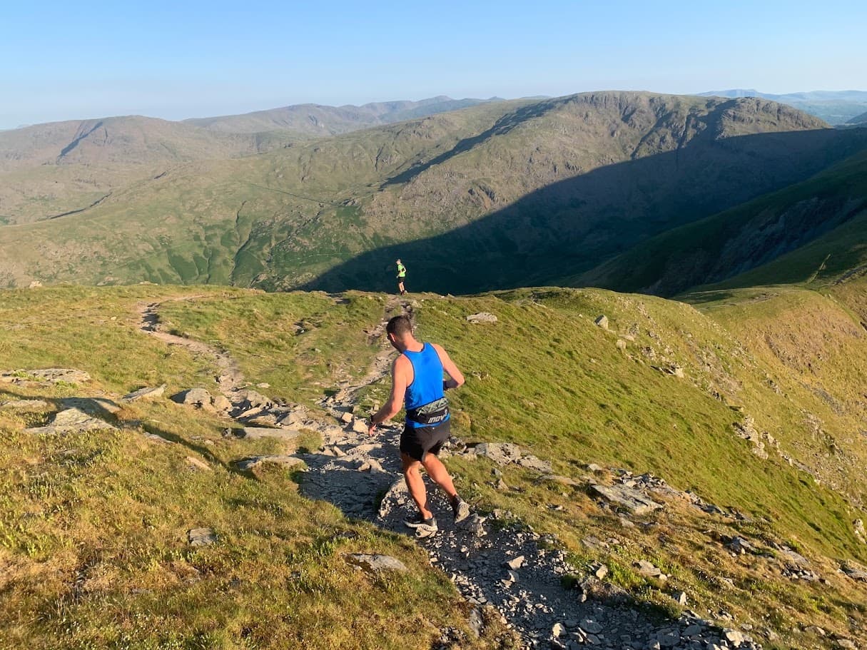
Sallows and Sour Howes don't look much like classic Lake District fells from a distance, and that's part of the appeal. The running here is largely on grass and turf rather than rock, with sweeping views across to Wansfell Pike, and along the Yoke, Ill Bell and Froswick ridge to the north. Because neither summit draws a crowd, this is one of the quieter corners of the eastern fells even on a busy weekend.
Finding your way
The lack of dramatic terrain cuts both ways. Underfoot is straightforward and largely runnable, but the rounded, featureless tops give few obvious landmarks if cloud comes down, so it's easy to drift off line without realising. Garburn Pass itself is an old packhorse route and can be heavily rutted where trail bikes use it, which is worth knowing before you commit to running it at pace.
Getting back
The return drops back down toward Kentmere and follows the valley back into Staveley, closing a loop that never strays far from a path but still delivers a proper sense of remoteness for relatively little climbing. It's a good option when the bigger fells are socked in cloud, or when you want distance on your legs without a heavy vertical bill.
Why bother with the lesser fells
Plenty of runners tick off Kentmere's higher horseshoe and never come back for Sallows and Sour Howes, which is exactly why this pair stays quiet. There's no summit trig point moment here, no crowd at the top comparing photos - just a long, easy ridge, good running underfoot, and the kind of solitude that's increasingly hard to find on the more obvious Lakeland lines. Treat it as a recovery-week route or a low-key evening loop rather than a big-day objective, and it earns its place on the list.

Partner · affiliate policy
Sallows and Sour Howes are broad, grassy and largely featureless, so it's easy to drift off the intended line in mist despite the lack of technical ground. Garburn Pass can be badly rutted by trail bike use in places.
Summits on this route
Safety on this route
- No signal? Text 999 — pre-register first: text register to 999
- Tell someone your route and expected return time before you head out
Leave No Trace
- Leave nothing but footprints, take nothing but memories.
- Please respect the countryside and all its inhabitants.
- Dogs on leads near livestock, and around ground-nesting birds from March to July.
- Gates as you find them — open or closed, leave it that way for the farmer and the next runner.
- Take it all home — wrappers, peel, tissue, the lot. It doesn't count as biodegradable if you can still see it.
- Stick to the path where the ground either side is wet, planted, or nesting habitat.
Common questions
- Most runners complete Sallows and Sour Howes from Staveley in 2 hours 30 minutes to 3 hours 20 minutes, depending on pace and conditions.
Run by us· last checked July 2026
Jason Millward has run this route and written it up from the ground. How we check routes
About the author
Runner reports
Nobody's logged a run here yet. If you get out on it, a few lines about how it went helps the next person plan their day.



Routes nearby
Start from a town: Windermere 5.7 km · Ambleside 11.2 km
 EXPERT
 HARD
HARD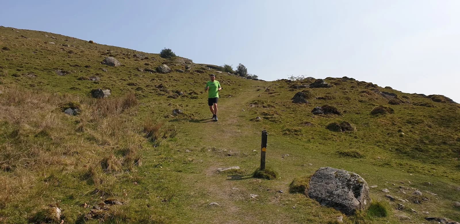 HARD
HARDRaces on this ground
All Lake District races →Races starting within 20 km of the Sallows and Sour Howes from Staveley start, nearest first. If you are entered for one, this route is the rehearsal.
1
May
2027
Staveley Trails
Staveley, Cumbria · Lakeland Trails · 0 miles away
Kentmere from Staveley Recreation Ground, with a 5K for everyone else.
HARD
Not open yet
5
Jun
2027
Lake District Challenge
Kendal Basecamp, Cumbria · Ultra Challenge · 4 miles away
A hundred kilometres around the southern Lake District from Kendal, or fifty or twenty-five.
Entries open
21
Nov
2026

The Kendal Mountain Trail Runs
Kendal, Cumbria · Maverick Race · 4 miles away
Kendal Mountain Festival — 50km, 25km and a 10km that is really 11.8.
Entries open
31
Jan
2027
That's Lyth
Abbot Hall Social Centre, Kendal · LDWA Lakeland · 5 miles away
Twenty-three and a half miles from Kendal over Cunswick Fell, Whitbarrow Scar and Scout Scar, nine hours, three checkpoints and a cut-off at the third.
Not open yet
£15–£22.5