Ultra Tour of Staveley
This is a commitment. Five distinct fell ridges, two remote valleys, and enough climbing to earn a very large meal. Plan your food, check the forecast, and don't set off late.
Effort: Ultra distance and major ascent
Underfoot: Technical, navigation required
E5·T4 — how we grade routes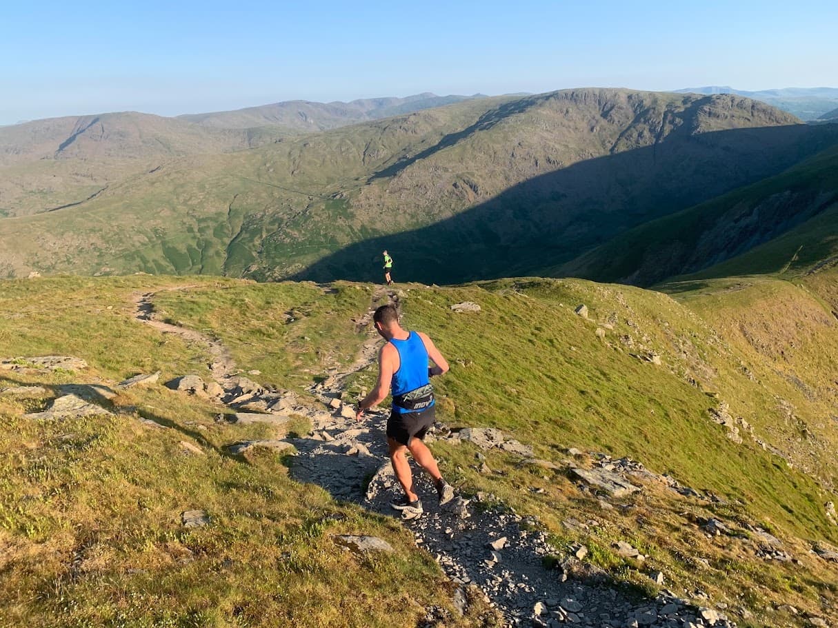
Mostly on runnable ground, but most runners still walk the steepest climbs.
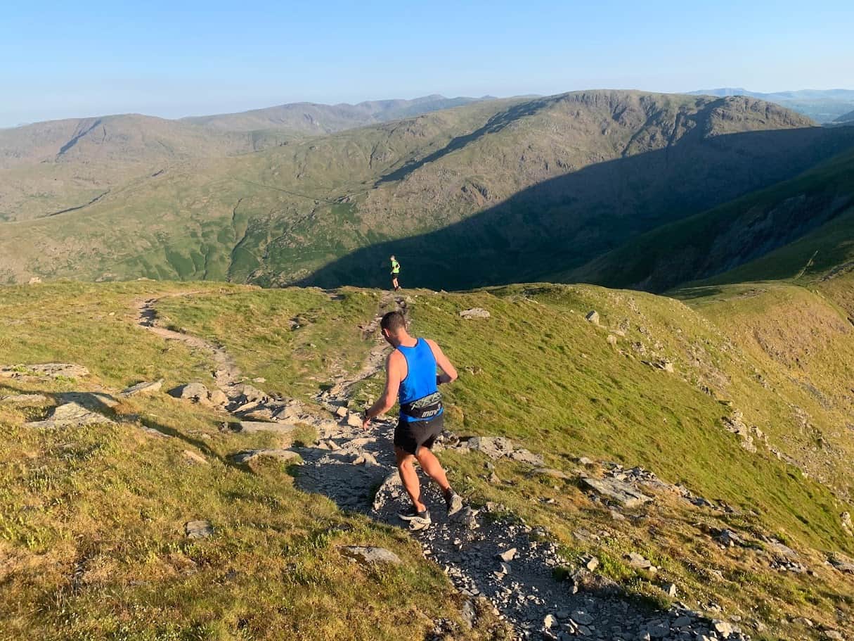
A 62km ultra circuit from Staveley taking in the full Kentmere Horseshoe, Longsleddale, and the high fells above Ullswater. Over 2800m of climbing — a full day in serious Lake District terrain.
This is a commitment. Five distinct fell ridges, two remote valleys, and enough climbing to earn a very large meal. Plan your food, check the forecast, and don't set off late.
##The route
From Staveley, the Ultra Tour links the Kentmere Horseshoe, Longsleddale, and the high fells in a single sustained circuit through some of the most remote terrain in the Lake District.
##This is serious
At 62km with nearly 3000m of climbing, this is a proper mountain ultra. You will be on open fell for long periods with limited bail-out options. Navigation skills are essential.

Partner · affiliate policy
Remote and exposed for long sections. Navigation complex on multiple ridge transitions in poor visibility. Very limited bail-out options between Kentmere and Longsleddale. Weather can change rapidly. Not recommended solo without extensive fell navigation experience.
Summits on this route
Safety on this route
- No signal? Text 999 — pre-register first: text register to 999
- Tell someone your route and expected return time before you head out
Leave No Trace
- Leave nothing but footprints, take nothing but memories.
- Please respect the countryside and all its inhabitants.
- Dogs on leads near livestock, and around ground-nesting birds from March to July.
- Gates as you find them — open or closed, leave it that way for the farmer and the next runner.
- Take it all home — wrappers, peel, tissue, the lot. It doesn't count as biodegradable if you can still see it.
- Stick to the path where the ground either side is wet, planted, or nesting habitat.
Common questions
- Most runners complete Ultra Tour of Staveley in 9 hours 10 minutes to 12 hours 25 minutes, depending on pace and conditions.
Run by us· last checked June 2026
Jason Millward has run this route and written it up from the ground. How we check routes
About the author
Runner reports
Nobody's logged a run here yet. If you get out on it, a few lines about how it went helps the next person plan their day.



Routes nearby
Start from a town: Windermere 5.8 km · Ambleside 11.2 km
 HARD
HARD HARD
HARD HARD
HARDRaces on this ground
All Lake District races →Races starting within 20 km of the Ultra Tour of Staveley start, nearest first. If you are entered for one, this route is the rehearsal.
1
May
2027
Staveley Trails
Staveley, Cumbria · Lakeland Trails · 0 miles away
Kentmere from Staveley Recreation Ground, with a 5K for everyone else.
HARD
Not open yet
5
Jun
2027
Lake District Challenge
Kendal Basecamp, Cumbria · Ultra Challenge · 4 miles away
A hundred kilometres around the southern Lake District from Kendal, or fifty or twenty-five.
Entries open
21
Nov
2026
The Kendal Mountain Trail Runs
Kendal, Cumbria · Maverick Race · 4 miles away
Kendal Mountain Festival — 50km, 25km and a 10km that is really 11.8.
Entries open
31
Jan
2027
That's Lyth
Abbot Hall Social Centre, Kendal · LDWA Lakeland · 5 miles away
Twenty-three and a half miles from Kendal over Cunswick Fell, Whitbarrow Scar and Scout Scar, nine hours, three checkpoints and a cut-off at the third.
Not open yet
£15–£22.5