Fairfield Horseshoe Extended
You get the full Fairfield ridge plus a there-and-back tag of Helvellyn thrown in, so a route runners already know becomes a proper full-day mountain outing without ever leaving a path.
Effort: Shorter distance, major ascent
Underfoot: Open fell or rough terrain
E5·T3 — how we grade routesNo photos of this route yet. Sign in to add one
A big-day extension of the classic Fairfield Horseshoe from Ambleside, taking in Nab Scar, Heron Pike, Great Rigg and Fairfield before pushing on to Helvellyn and back. 33.1km and 2,287m of climbing.
You get the full Fairfield ridge plus a there-and-back tag of Helvellyn thrown in, so a route runners already know becomes a proper full-day mountain outing without ever leaving a path.
The route
Start at the Rydal Road car park in Ambleside and head north through Rydal before climbing hard onto Nab Scar. From there the ridge runs almost the whole way: Heron Pike, Great Rigg, then the long grassy pull to Fairfield's flat, stony top at 873m. The classic horseshoe would drop east here toward Hart Crag and Dove Crag, and this route still does, but not before a detour north-west over Grisedale Hause to tag Helvellyn's summit and back. That out-and-back adds real distance and a second big climb to a day that's already substantial, which is where the 2,287m of ascent comes from against the standard horseshoe's 900-odd metres.
The extension
Grisedale Hause drops you fast on loose scree, and you'll feel it again grinding back up the other side. It's the kind of detour that turns a strong morning into a full day, so go in with food, a plan B, and legs that can still climb after 20km. From Helvellyn's summit shelter you retrace your steps to Fairfield before finishing the horseshoe proper over Hart Crag and Dove Crag, following the ridge wall south to High Pike and Low Pike, then dropping back into Ambleside past Low Sweden Bridge.
Getting it right
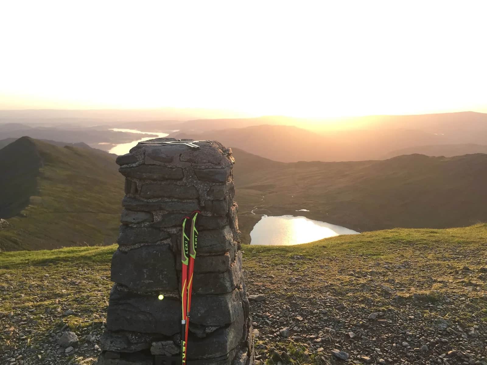
Fairfield's summit is a flat stony plateau with cairns in every direction and precipices close by to the north and west, so cloud here is genuinely disorientating even for people who know the ridge well. The path is obvious in clear weather but this is not a route to wing in mist without a map and the confidence to use it. The reward for getting it right is one of the best ridge days in the Eastern Fells: Windermere and Coniston Water laid out to the south, Helvellyn's crags close enough to touch to the north, and a descent that empties you straight back into Ambleside for food.
Racing it
Ambleside AC run the Fairfield Horseshoe Fell Race each May over the classic 14.5km course, a good reference point if you want to see how this extended version compares once you take the Helvellyn detour out.

Partner · affiliate policy
Fairfield's summit plateau is flat, featureless and easy to get turned around on in cloud, with unguarded drops close to the path on the north and west sides. The Grisedale Hause link to Helvellyn is loose underfoot and adds a serious amount of remote, high ground with no easy bail-out once you're committed to it.
Summits on this route
Safety on this route
- No signal? Text 999 — pre-register first: text register to 999
- Tell someone your route and expected return time before you head out
Leave No Trace
- Leave nothing but footprints, take nothing but memories.
- Please respect the countryside and all its inhabitants.
- Dogs on leads near livestock, and around ground-nesting birds from March to July.
- Gates as you find them — open or closed, leave it that way for the farmer and the next runner.
- Take it all home — wrappers, peel, tissue, the lot. It doesn't count as biodegradable if you can still see it.
- Stick to the path where the ground either side is wet, planted, or nesting habitat.
Common questions
- Most runners complete Fairfield Horseshoe Extended in 5 hours 35 minutes to 7 hours 35 minutes, depending on pace and conditions.
Run by us· last checked July 2026
Jason Millward has run this route and written it up from the ground. How we check routes
About the author
Runner reports
Nobody's logged a run here yet. If you get out on it, a few lines about how it went helps the next person plan their day.



Routes nearby
Start from a town: Ambleside 2.2 km · Windermere 9 km · Coniston 10.3 km
 EXPERT
 VERY HARD
 HARD
HARDRaces on this ground
All Lake District races →Races starting within 20 km of the Fairfield Horseshoe Extended start, nearest first. If you are entered for one, this route is the rehearsal.
10
Jul
2027
Lakeland Trails Ultra
Ambleside, Cumbria · Lakeland Trails · 1 miles away
A hundred kilometres from a minute past midnight, or fourteen in the morning.
HARD TO EXPERT
Entries open
20
Mar
2027
Grasmere Wild Trail Runs
Grasmere Lakeland Sports & Show Stock Ln, Grasmere, Ambleside La22 9Sj · Wild Deer Events · 2 miles away
Five, ten or twenty-one kilometres from the Grasmere showfield.
HARD
Not open yet
4
Jun
2027
provisional

Stickle Grind 650
Sticklebarn, Great Langdale, Cumbria · Lake District Sky Trails · 4 miles away
Two and a half kilometres, 650 metres up. Straight up Stickle Ghyll.
Not open yet
5
Jun
2027
Scafell Sky Ultra
Sticklebarn, Great Langdale, Cumbria · Lake District Sky Trails · 4 miles away
Sixty kilometres and 4,400 metres of ascent — their biggest day out.
Entries open