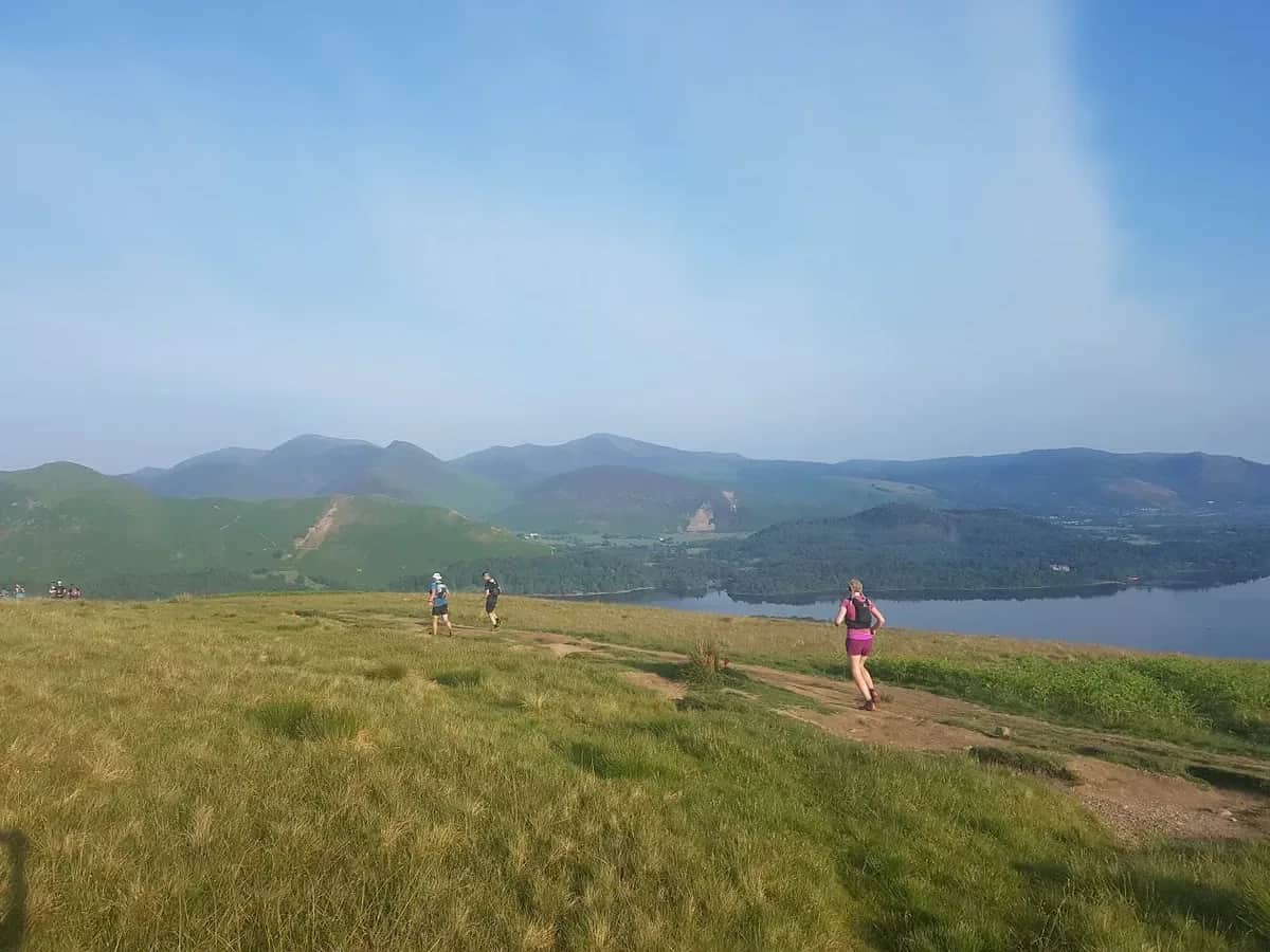
Walla Crag, Castle Crag and Derwentwater from Keswick
Two contrasting little Wainwrights on one long lap, the airy edge of Walla Crag above Derwentwater and the steep slate cone of Castle Crag deep in Borrowdale.
Effort: Good distance, solid climb
Underfoot: Some uneven or off-path ground
E3·T2 — how we grade routesNo photos of this route yet. Sign in to add one
Mostly on runnable ground, but most runners still walk the steepest climbs.
A long 26.2 km circuit from Keswick over Walla Crag (375 m) above Derwentwater and the slate top of Castle Crag (290 m) in Borrowdale, returning along the lake. Two low Wainwrights with 719 m of gentle climbing.
Two contrasting little Wainwrights on one long lap, the airy edge of Walla Crag above Derwentwater and the steep slate cone of Castle Crag deep in Borrowdale.
The route
This 26.2 km circuit is the grand tour of the Derwentwater and Borrowdale valley, taking in two of Lakeland's smallest Wainwrights on a long, low loop from Keswick. With 719 m of ascent spread over the distance it is gentle for its length, which makes it a fine big day for runners who want kilometres rather than steep fell climbing. Footing is good throughout, on a mix of woodland trail, riverside and shoreline path, with two short, sharp climbs to the summits.
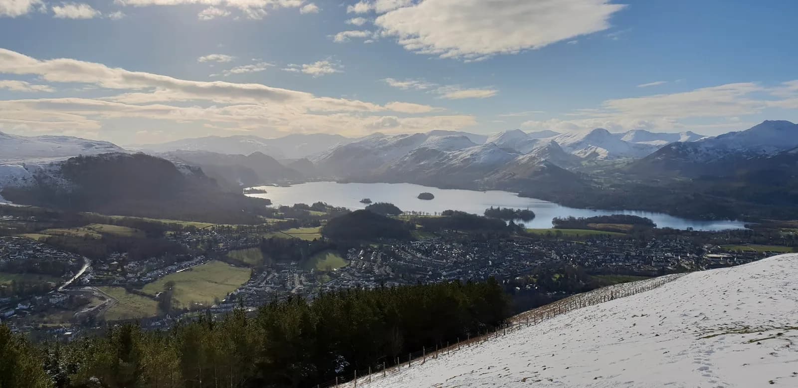
From Keswick you climb steadily through Great Wood and onto the lip of Walla Crag (375 m), the first Wainwright, perched directly above the eastern shore. The view from the edge straight down onto Derwentwater, with the Newlands fells beyond, is one of the finest low viewpoints near the town.
Into Borrowdale
The route then heads south, dropping towards the wooded jaws of Borrowdale and following quiet paths past Grange. A short, steep pull up old slate spoil gains the summit of Castle Crag (290 m), the second Wainwright and the only fell in the round Wainwright himself placed entirely below 1,000 feet. Its top is a striking perch above the valley, ringed by quarry remains.
Along the lake
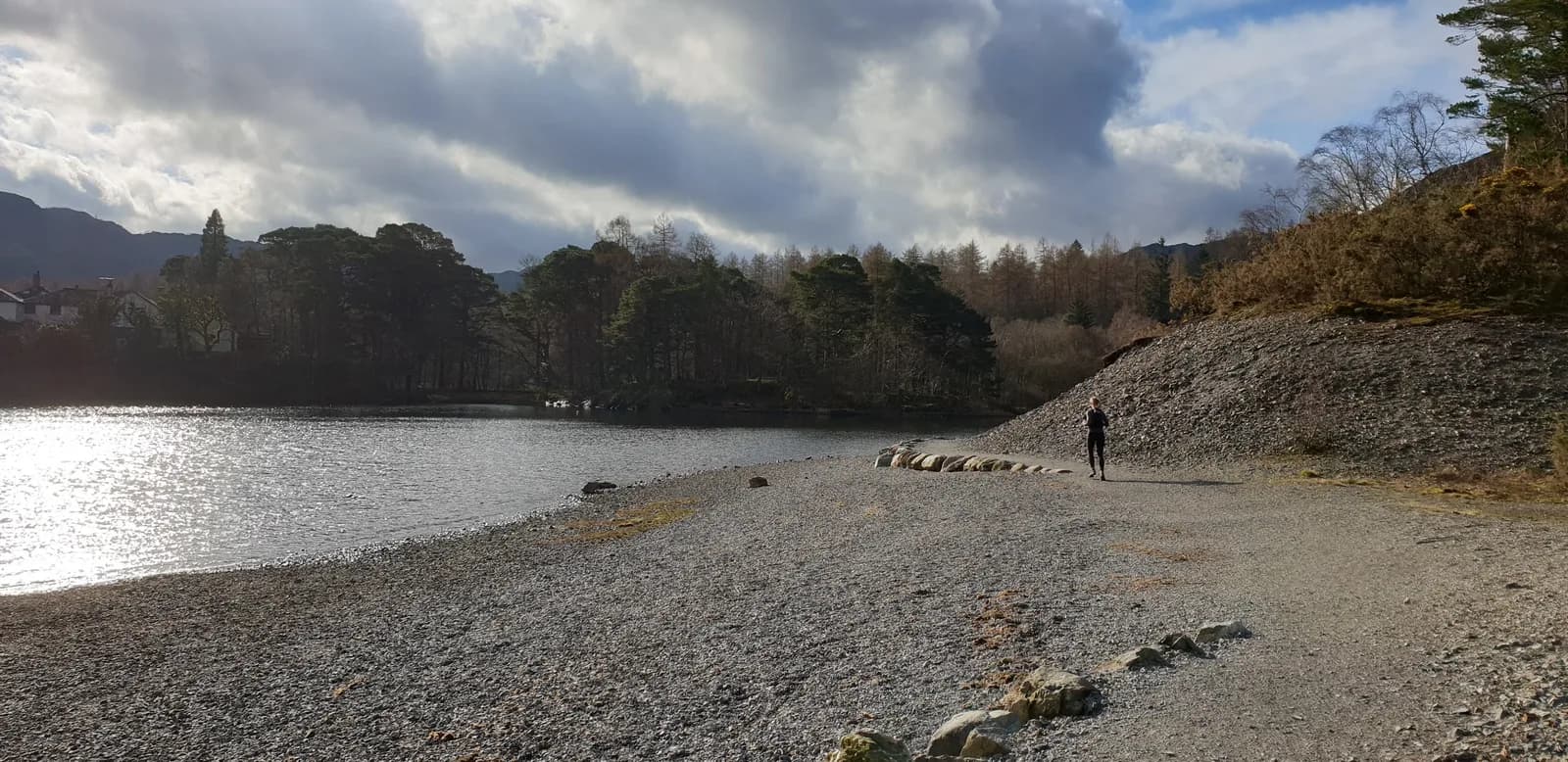
The long return traces the western and northern shores of Derwentwater through Brandelhow and Portinscale, with Skiddaw and Blencathra filling the skyline ahead and the water alongside for most of the way. It is sustained, rhythmic running that eats up the distance.
Why it works
It packs two contrasting Wainwrights, a deep valley and a complete lake into one outing without ever asking for serious height gain. Carry food and water for the distance, and use the Borrowdale bus if you want to cut the loop short. The mix of two crag top summits and long, flowing valley paths makes it a satisfying way to bank serious distance and a pair of Wainwrights without the punishment of a full mountain day.

Partner · affiliate policy
The edge of Walla Crag is an abrupt drop, so keep back from the rim in wind or wet, and the short slate climb onto Castle Crag is loose underfoot. Low Borrowdale and lakeside paths flood after rain, and the distance is significant for the modest climbing.
Summits on this route
Safety on this route
- No signal? Text 999 — pre-register first: text register to 999
- Tell someone your route and expected return time before you head out
Leave No Trace
- Leave nothing but footprints, take nothing but memories.
- Please respect the countryside and all its inhabitants.
- Dogs on leads near livestock, and around ground-nesting birds from March to July.
- Gates as you find them — open or closed, leave it that way for the farmer and the next runner.
- Take it all home — wrappers, peel, tissue, the lot. It doesn't count as biodegradable if you can still see it.
- Stick to the path where the ground either side is wet, planted, or nesting habitat.
Common questions
- Most runners complete Walla Crag, Castle Crag and Derwentwater from Keswick in 3 hours 25 minutes to 4 hours 40 minutes, depending on pace and conditions.
Run by us· last checked July 2026
Jason Millward has run this route and written it up from the ground. How we check routes
About the author
Runner reports
Nobody's logged a run here yet. If you get out on it, a few lines about how it went helps the next person plan their day.



Routes nearby
Start from a town: Keswick 0.2 km
 MODERATE
 MODERATE
 EXPERT
 EXPERT
 VERY HARD
 HARD
HARDRaces on this ground
All Lake District races →Races starting within 20 km of the Walla Crag, Castle Crag and Derwentwater from Keswick start, nearest first. If you are entered for one, this route is the rehearsal.
24
Oct
2026

Ultra England 50
Keswick, Cumbria · GB Ultras · 1 miles away
Fifty-four Lakeland miles from Keswick.
EXPERT
Entries open
25
Sept
2027

6 Valleys Ultra
Borrowdale, Cumbria · 13 Valleys Ultra · 6 miles away
New for 2027: Borrowdale to Keswick, waymarked, between the 5 and the 7.
Entries open
27
Jun
2027
provisional

Blencathra Fell Race
Mungrisdale, Cumbria · Eden Runners · 7 miles away
Straight up Blencathra and back from Mungrisdale, on the classic enforced route.
Not open yet
31
Oct
2026
Helvellyn Trails
Glenridding, Cumbria · Lakeland Trails · 9 miles away
Glenridding and the shores of Ullswater under Helvellyn, at the end of October.
HARD
Entries open