Ambleside Low Level Loop
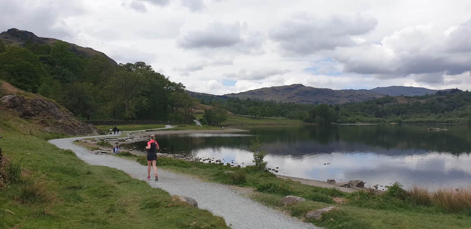
Rydal Water, Grasmere, woodland paths, and those views - all without setting foot on a major fell. This is what the Lakes are for on an easy-legs day.
Effort: Good distance, solid climb
Underfoot: Some uneven or off-path ground
E3·T2 — how we grade routesNo photos of this route yet. Sign in to add one
Mostly on runnable ground, but most runners still walk the steepest climbs.
A 19.6km low-level circuit from Ambleside threading through Rydal Water, Under Loughrigg, and the south shore of Grasmere - the classic Lake District landscape without the big climb.
Rydal Water, Grasmere, woodland paths, and those views - all without setting foot on a major fell. This is what the Lakes are for on an easy-legs day.
The route
From the car parks at Ambleside, the route heads southwest through Rothay Park, picking up the footpath alongside the River Rothay before swinging up to the shore of Rydal Water. The path hugs the northern shore of the lake - one of the quieter stretches of water in the Lakes - before the ground opens out near Rydal village.
From Rydal, the route follows the Under Loughrigg road: a narrow lane tucked between the lower slopes of Loughrigg Fell and the edge of the water. It's one of the most pleasant kilometres of running in the central Lakes. Continue along the south shore of Grasmere lake and into Grasmere village for a natural midpoint.
The return from Grasmere follows the valley floor back east, crossing the Rothay and rejoining the outward path near Rydal before the final run into Ambleside. The full circuit covers 19.6km with 562m of ascent - enough to feel like a proper run without demanding fell fitness.
Why it works
This is a route built for days when the weather is uncertain or you want genuine Lake District atmosphere without committing to a big fell day. The paths are excellent throughout - a mix of lakeshore tracks, bridleways, and the occasional stretch of quiet road. Navigation is minimal; the ground does the thinking for you.
Grasmere makes an obvious refreshment stop at the halfway point, with several cafes and the famous Grasmere gingerbread shop a few metres from the route. The village fills quickly on summer weekends so the earlier you arrive, the better.
At 19.6km this sits comfortably at the longer end of an easy-to-moderate run. The underfoot conditions are usually good year-round, though the Rothay path can pick up some mud after heavy rain. Nothing that warrants trail shoes with serious lugs, but road shoes would struggle on the softer sections.
Ambleside as a base
Ambleside is well-supplied for pre- and post-run logistics. Buses connect to Windermere, Coniston, and Keswick, and there are enough cafes and kit shops to keep you occupied if the weather turns. The car parks fill early on summer weekends - aim for before 9am if you want a guaranteed spot.

Partner · affiliate policy
River paths can be muddy and briefly flooded after heavy rain near Rothay Park. Grasmere and Rydal attract large visitor numbers in summer - expect foot traffic on the path around Rydal Water.
Leave No Trace
- Leave nothing but footprints, take nothing but memories.
- Please respect the countryside and all its inhabitants.
- Dogs on leads near livestock, and around ground-nesting birds from March to July.
- Gates as you find them — open or closed, leave it that way for the farmer and the next runner.
- Take it all home — wrappers, peel, tissue, the lot. It doesn't count as biodegradable if you can still see it.
- Stick to the path where the ground either side is wet, planted, or nesting habitat.
Common questions
- Most runners complete Ambleside Low Level Loop in 2 hours 35 minutes to 3 hours 30 minutes, depending on pace and conditions.
Run by us· last checked July 2026
Jason Millward has run this route and written it up from the ground. How we check routes
About the author
Runner reports
Nobody's logged a run here yet. If you get out on it, a few lines about how it went helps the next person plan their day.



Start from a town: Ambleside 0.5 km · Windermere 7.3 km · Coniston 10 km
 VERY HARD
 EXPERT
 EXPERT
Races on this ground
All Lake District races →Races starting within 20 km of the Ambleside Low Level Loop start, nearest first. If you are entered for one, this route is the rehearsal.
10
Oct
2026

Lakes in a Day Half
Ambleside, Cumbria · Durty Events · 0 miles away
Ambleside to Cartmel on a waymarked route, joining the big one as it comes through.
VERY HARD
Entries open
10
Jul
2027
Lakeland Trails Ultra
Ambleside, Cumbria · Lakeland Trails · 0 miles away
A hundred kilometres from a minute past midnight, or fourteen in the morning.
HARD TO EXPERT
Entries open
20
Mar
2027

Grasmere Wild Trail Runs
Grasmere Lakeland Sports & Show Stock Ln, Grasmere, Ambleside La22 9Sj · Wild Deer Events · 3 miles away
Five, ten or twenty-one kilometres from the Grasmere showfield.
HARD
Not open yet
10
Apr
2027
Hawkshead Trails
Hawkshead, Cumbria · Lakeland Trails · 5 miles away
Out of Hawkshead into the Grizedale woods.
HARD
Not open yet