Salt and Pepper Pots from Skipton
A point-to-point feel on a loop, linking a bustling market town to a wild gritstone edge crowned by two eccentric Victorian towers with huge views to Pendle.
Almost entirely runnable — minimal steep sections.
A point-to-point feel on a loop, linking a bustling market town to a wild gritstone edge crowned by two eccentric Victorian towers with huge views to Pendle.
A 26.3km loop from Skipton south to the gritstone edge of Earl Crag and its two landmark follies, Lund's Tower and Wainman's Pinnacle, known as the Salt and Pepper Pots.
The route
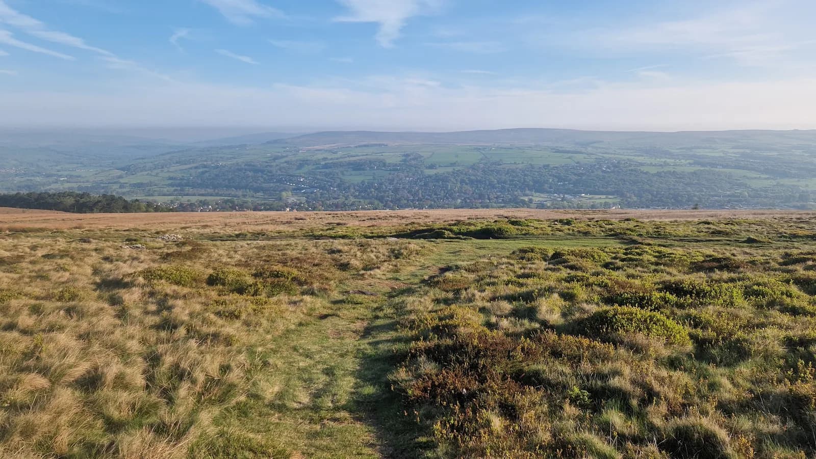
This 26.3km loop heads out of Skipton and into the rolling farmland and moor edge of the South Pennines, building gradually toward the gritstone scarp of Earl Crag. The early miles cross a patchwork of field paths, walled lanes and tracks that demand attention to navigation, before the ground opens up and climbs onto the breezy ridge above Cowling and Sutton-in-Craven.
The follies
The highlight is Earl Crag itself, where two listed monuments stand against the sky. Lund's Tower, built in 1887, and Wainman's Pinnacle, an obelisk raised as a Napoleonic memorial, are known locally as the Salt and Pepper Pots for their resemblance to the table set. From the edge at around 370m the view sweeps across the Aire gap to the long whaleback of Pendle Hill. The route then loops back north on tracks and paths toward Skipton.
Why it works
This is a route with character rather than big summits, trading mountain height for quirky landmarks, gritstone atmosphere and genuine moorland solitude close to a major town. The mix of field paths and open moor keeps the navigation interesting, and the towers give the day a clear focal point. It works well as a long training run with easy logistics, since Skipton has parking, a railway station and plenty of cafes. Watch the field-path navigation in the lower sections and respect grouse moor access on the high ground.
Getting there
Skipton is easy to reach, with a station on the Airedale line and several car parks near the centre. That makes the logistics simple for a route that otherwise feels surprisingly remote once you climb to Earl Crag. The two towers are visible for miles and make a satisfying turning point, marking the moment you swing back north across the fields toward town and a well-earned cafe stop.
Complex field-path navigation in the lower sections is easy to get wrong. The Earl Crag edge is exposed to weather, and the high moorland is managed for grouse with shooting from August to December.

Safety on this route
- No signal? Text 999 — pre-register first: text register to 999
- Tell someone your route and expected return time before you head out
Leave No Trace
- Leave nothing but footprints, take nothing but memories.
- Please respect the countryside and all its inhabitants.
- Dogs on leads near livestock, and around ground-nesting birds from March to July.
- Gates as you find them — open or closed, leave it that way for the farmer and the next runner.
- Take it all home — wrappers, peel, tissue, the lot. It doesn't count as biodegradable if you can still see it.
- Stick to the path where the ground either side is wet, planted, or nesting habitat.
Common questions
About the author
Runner reports
Ran this route? Log your time, rate it, share conditions — helps other runners plan their day.
No runs logged yet — be the first.
More routes in South Pennines
 HARD
HARD HARD
HARD