Scafell Pike from Seathwaite
You top out on Scafell Pike, the roof of England at 978m, from the green Borrowdale side, and the Corridor country you cross to get there is as wild as the Lakes gets.
Effort: Shorter distance, serious climb
Underfoot: Exposed, scrambling or very rough
E4·T5 — how we grade routesNo photos of this route yet. Sign in to add one
A 14.7km climb of Scafell Pike, England's highest mountain at 978m, from Seathwaite in Borrowdale, with around 960m of ascent. A serious mountain outing on rough, rocky ground via Grains Gill and the high passes.
You top out on Scafell Pike, the roof of England at 978m, from the green Borrowdale side, and the Corridor country you cross to get there is as wild as the Lakes gets.
The route
Start from Seathwaite in Borrowdale, at the end of the lane, and climb 14.7km with around 960m of ascent to the summit of Scafell Pike and back. The line follows the river to Stockley Bridge, then up Grains Gill towards Esk Hause and the high, rocky heart of the range before the final pull to the top. The trackpoints run right over the 978m summit, so this is the real thing: a full mountain day, not a valley loop.
The summit
Scafell Pike is the highest ground in England at 978m, a chaos of boulders and shattered rock with a huge summit cairn. The approach from Borrowdale is longer and less brutal than the Wasdale side, giving you the drama of the high passes and dizzying views down into Wasdale from the Corridor country. On a clear day the panorama takes in the Scafell massif, Great Gable and the sea; in cloud the summit plateau is a bewildering field of stone where navigation is unforgiving.
Why it works
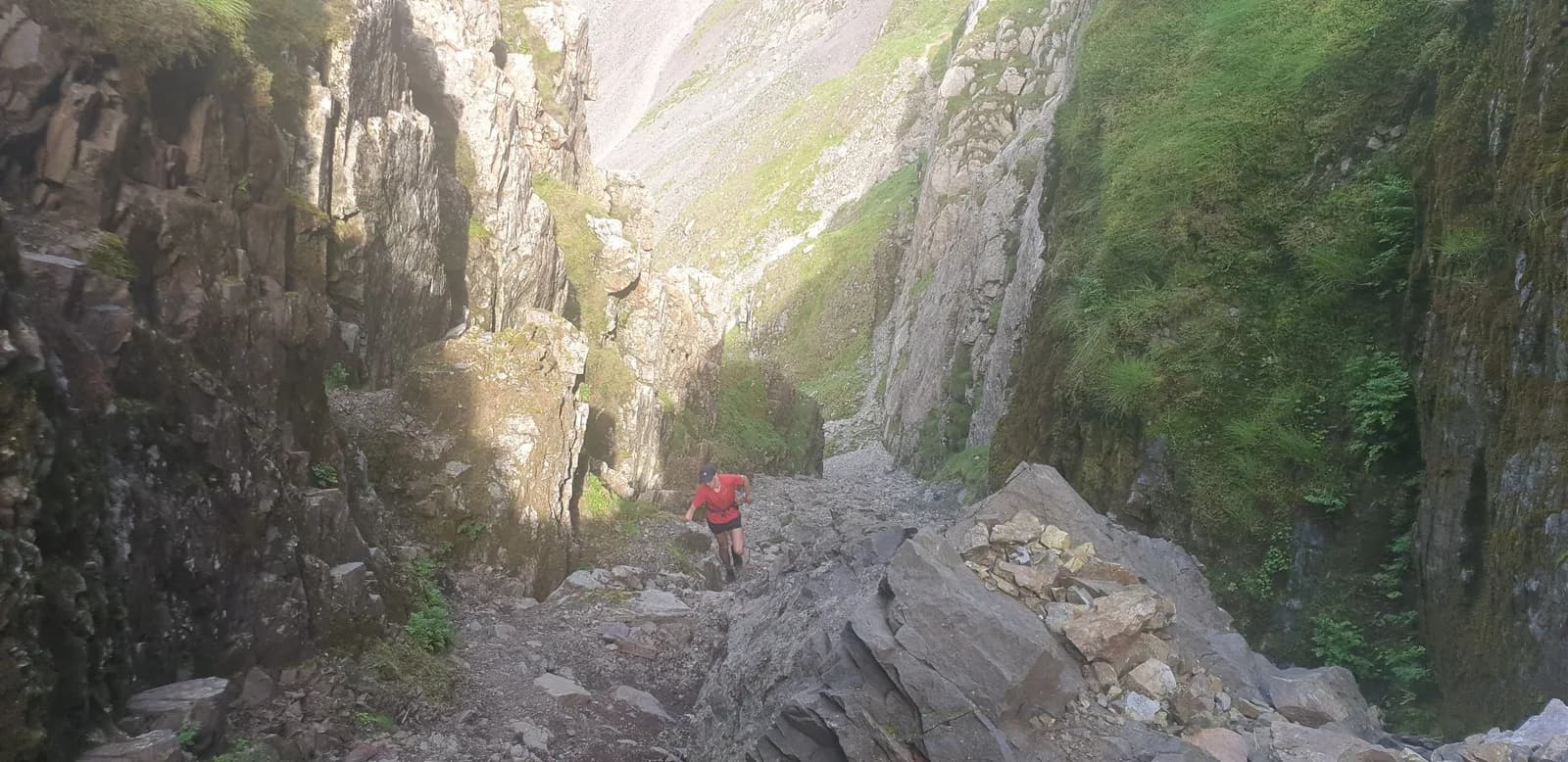
This is a route for experienced hill runners and nothing less. The ground is genuinely mountainous: rough, rocky, exposed and steep, with loose stone on the upper sections and no shelter high up. Navigation on and around the summit is serious in poor visibility, where paths vanish into boulderfields, so carry map, compass and the skills to use them. Weather changes fast and hard at this height. The reward is one of the great summits of Britain reached from its loveliest valley, but it demands respect: full kit, food, and a settled forecast. Seathwaite parking fills before 8am on good days, so start early and go light but complete. Get it on a clear, settled day and standing on the highest point in the country, reached from Borrowdale, is as good as English hill running gets. This is coastal-free high mountain terrain, so in an emergency call 999 or 112 and ask for the police, then Mountain Rescue.

Partner · affiliate policy
This is serious mountain terrain: rocky, exposed and steep, with a boulderfield summit where paths vanish in cloud, so expert navigation, map and compass are essential. Weather turns fast and hard at 978m with no shelter. In an emergency call 999 or 112, ask for the police then Mountain Rescue.
Summits on this route
Safety on this route
- No signal? Text 999 — pre-register first: text register to 999
- Tell someone your route and expected return time before you head out
Leave No Trace
- Leave nothing but footprints, take nothing but memories.
- Please respect the countryside and all its inhabitants.
- Dogs on leads near livestock, and around ground-nesting birds from March to July.
- Gates as you find them — open or closed, leave it that way for the farmer and the next runner.
- Take it all home — wrappers, peel, tissue, the lot. It doesn't count as biodegradable if you can still see it.
- Stick to the path where the ground either side is wet, planted, or nesting habitat.
Common questions
- Most runners complete Scafell Pike from Seathwaite in 2 hours 25 minutes to 3 hours 20 minutes, depending on pace and conditions.
Run by us
Jason Millward has run this route and written it up from the ground. How we check routes
About the author
Runner reports
Nobody's logged a run here yet. If you get out on it, a few lines about how it went helps the next person plan their day.



Start from a town: Keswick 11.7 km
 HARD
HARD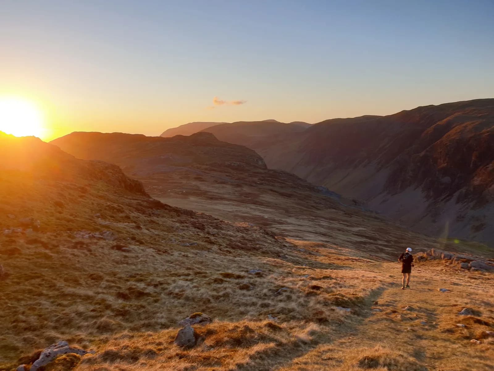 EXPERT
 MODERATE
 EXPERT
 MODERATE
 VERY HARD
Races on this ground
All Lake District races →Races starting within 20 km of the Scafell Pike from Seathwaite start, nearest first. If you are entered for one, this route is the rehearsal.
25
Sept
2027
6 Valleys Ultra
Borrowdale, Cumbria · 13 Valleys Ultra · 2 miles away
New for 2027: Borrowdale to Keswick, waymarked, between the 5 and the 7.
Entries open
20
Mar
2027
Grasmere Wild Trail Runs
Grasmere Lakeland Sports & Show Stock Ln, Grasmere, Ambleside La22 9Sj · Wild Deer Events · 7 miles away
Five, ten or twenty-one kilometres from the Grasmere showfield.
MODERATE
Not open yet
25
Sept
2026
13 Valleys Ultra
Keswick, Cumbria · 13 Valleys Ultra · 7 miles away
A full circumnavigation of the Lake District from Keswick, out and back through every valley.
Event full
27
Sept
2026
2 Valleys
Keswick, Cumbria · 13 Valleys Ultra · 7 miles away
A Keswick loop through the Glenderaterra Valley and back round Latrigg.
Entries open