Washburn Valley from Leathley
You get a quiet string of reservoirs and river woodland a stone's throw from Otley, with none of the crowds of the honeypot dales. It is the sort of route locals keep to themselves.
Effort: Moderate distance, manageable climb
Underfoot: Some uneven or off-path ground
E2·T2 — how we grade routesNo photos of this route yet. Sign in to add one
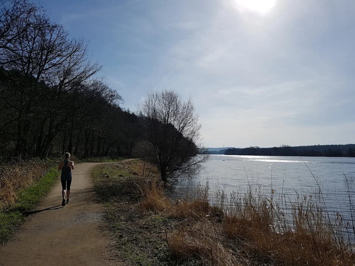
A 10.2km loop from Leathley through the Washburn valley, linking Lindley Wood Reservoir with the River Washburn and the woods of Stainburn Forest. Gentle, low-level running on riverside and woodland paths.
You get a quiet string of reservoirs and river woodland a stone's throw from Otley, with none of the crowds of the honeypot dales. It is the sort of route locals keep to themselves.
The route
Start near Leathley and loop through the lower Washburn valley, following the river and the shore of Lindley Wood Reservoir with a spell in the woods of Stainburn Forest. The route runs 10.2km with only modest climbing, on field path, riverside track and forest road. It is easy, green country between the Wharfe valley and the moors, ideal when you want a run rather than a mountain.
The valley
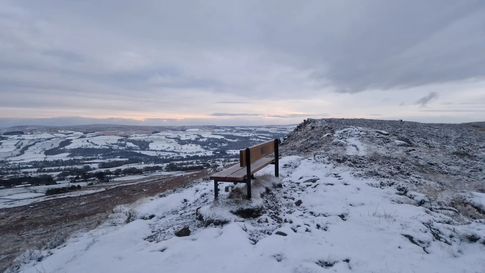
The Washburn is a quiet valley of three reservoirs, Lindley Wood, Swinsty and Fewston, strung along a river that drains the moors above. This loop takes in the lowest of them, Lindley Wood, with the River Washburn threading between meadow and wood. Stainburn Forest, 530 acres on the valley side, adds a stretch of shaded track and a few gentle climbs. It is understated scenery rather than dramatic, but it is genuinely peaceful, and the birdlife on the water is a draw in its own right.
Why it works
This is a route for an easy day close to home. The surface is largely good, the gradients are gentle, and the navigation is simple on clear paths and tracks, so it suits family outings, beginners or a steady long run. The riverside sections hold mud after rain and the reservoir paths can be soft, so it is not always as fast as it looks. Stainburn Forest is shared with mountain bikers, so keep an ear out on the wooded tracks. Otley, a short drive south, has the fuller range of cafes and pubs, and the loop links easily into the higher Washburn if you want to add the other reservoirs. Come in spring for the birdsong or autumn for the colour on the water, and this quiet valley rewards the runner who wants scenery without a fight.

Partner · affiliate policy
The riverside and reservoir paths hold mud and soft ground after rain. Stainburn Forest tracks are shared with mountain bikers, so stay alert. Take care near the reservoir edges and the river when high.
Safety on this route
- No signal? Text 999 — pre-register first: text register to 999
- Tell someone your route and expected return time before you head out
Leave No Trace
- Leave nothing but footprints, take nothing but memories.
- Please respect the countryside and all its inhabitants.
- Dogs on leads near livestock, and around ground-nesting birds from March to July.
- Gates as you find them — open or closed, leave it that way for the farmer and the next runner.
- Take it all home — wrappers, peel, tissue, the lot. It doesn't count as biodegradable if you can still see it.
- Stick to the path where the ground either side is wet, planted, or nesting habitat.
Common questions
- Most runners complete Washburn Valley from Leathley in 1 hour 15 minutes to 1 hour 40 minutes, depending on pace and conditions.
Run by us
Jason Millward has run this route and written it up from the ground. How we check routes
About the author
Runner reports
Nobody's logged a run here yet. If you get out on it, a few lines about how it went helps the next person plan their day.



Routes nearby
Start from a town: Ilkley 11.5 km
 VERY HARD
 EASY
EASY HARD
HARD MODERATE
 HARD
HARD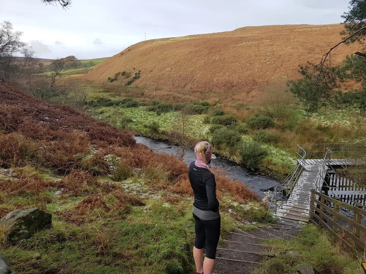 MODERATE
Races on this ground
All Nidderdale races →Races starting within 20 km of the Washburn Valley from Leathley start, nearest first. If you are entered for one, this route is the rehearsal.
26
Sept
2026
Yorkshire Reservoir Dogs
Otley, West Yorkshire · Punk Panther · 2 miles away
Seven reservoirs, barely a hill. The organiser calls it the one for beginners, and they're right.
HARD TO VERY HARD
Entries open
12
Dec
2026
Christmas Cracker
Otley, West Yorkshire · Punk Panther · 2 miles away
A December loop out of Otley over Norwood Edge and the Washburn.
HARD TO VERY HARD
Entries open
13
Mar
2027
Welcome Way
Otley, West Yorkshire · Punk Panther · 2 miles away
Over moors and through woods, by rivers and canals. Half marathon to fifty miles.
HARD TO EXPERT
Entries open
14
Nov
2026
Wharfedale Skyline
Otley, West Yorkshire · Punk Panther · 2 miles away
Otley to the high ground above Wharfedale, by way of Yeadon Tarn.
HARD TO VERY HARD
Entries open