Punk Panther Wharfedale Skyline
Otley to the high ground above Wharfedale, by way of Yeadon Tarn.
| Distance | Ascent | Per km |
|---|---|---|
| 35 Mile | 1,371 m | 25 m |
| 20 Mile | 845 m | 25 m |
| 13 Mile | 494 m | 23 m |
Nobody has reviewed this one yet
No reviews of the Wharfedale Skyline, and nothing on what people wore. Both are things no organiser publishes and every runner wants before they enter — how it actually went, and what was on your feet.
Ran it? Write the first reviewRunning it soon? Connect Strava and we will ask you about it the day you finish, so you do not have to remember to come back.
Pick your distance
HARD
TRP grade · E3·T3
1 checkpoint
Start time not confirmed yet — check with the organiser.
This file is from a previous running and the course may have changed since. If you are navigating with it, get the current version from Punk Panther first.
What you’re in for
The last race of the Punk Panther series, in November, and the shortest of their trail-ultra weekends. The route hugs the hills around Otley, Ilkley and Guiseley: out past Yeadon Tarn and up to Surprise View on Otley Chevin, and on the longer distances across to the Cow and Calf rocks above Ilkley and back by Denton and Lindley Wood Reservoir. Three distances. The 13 Mile is 21.8km with 494m of climb, the 20 Mile 33.7km and 845m, the 35 Mile 55.5km and 1,371m. Because everything is short by Punk Panther standards, it draws people running their first trail race and people trying to run one of them fast, and the organiser says it is designed for exactly that.
Terrain and trail
Gritstone-edge paths on the Chevin and Ilkley Moor, woodland tracks through Danefield and Middleton Woods, and field paths and lanes joining them up. The climbs are short and steep rather than long — up onto the Chevin, up onto the moor above the Cow and Calf — and the descents are the technical bits, rocky and slick in November leaf fall. Taped and flagged the week before as confirmation only; the organiser expects you to carry the route description and the GPX. The 35 Mile runs into dusk, so the head torch on the kit list is not a formality.

Partner · affiliate policy
Aid stations
Water, coke, energy bars and crisps at every checkpoint. Four checkpoints: Yeadon Tarn, the Malt Shovel at Menston, Denton and Norwood Methodist Church. Yeadon Tarn is on all three distances, the Malt Shovel is on the 20 and the 35.
Cut-offs
No overall time limit is published. The cut-offs are the checkpoint closing times — arrive after one closes and you are retired. Course closes 20:00. Checkpoints close: Yeadon Tarn 12:00, the Malt Shovel at Menston 13:30, Denton 15:00, Norwood Methodist Church 16:00.
Train for it: routes near the start
Routes starting within 20 km of Otley, West Yorkshire, nearest first. Each one has a free GPX file and a TRP grade, so you can rehearse the ground before race day.
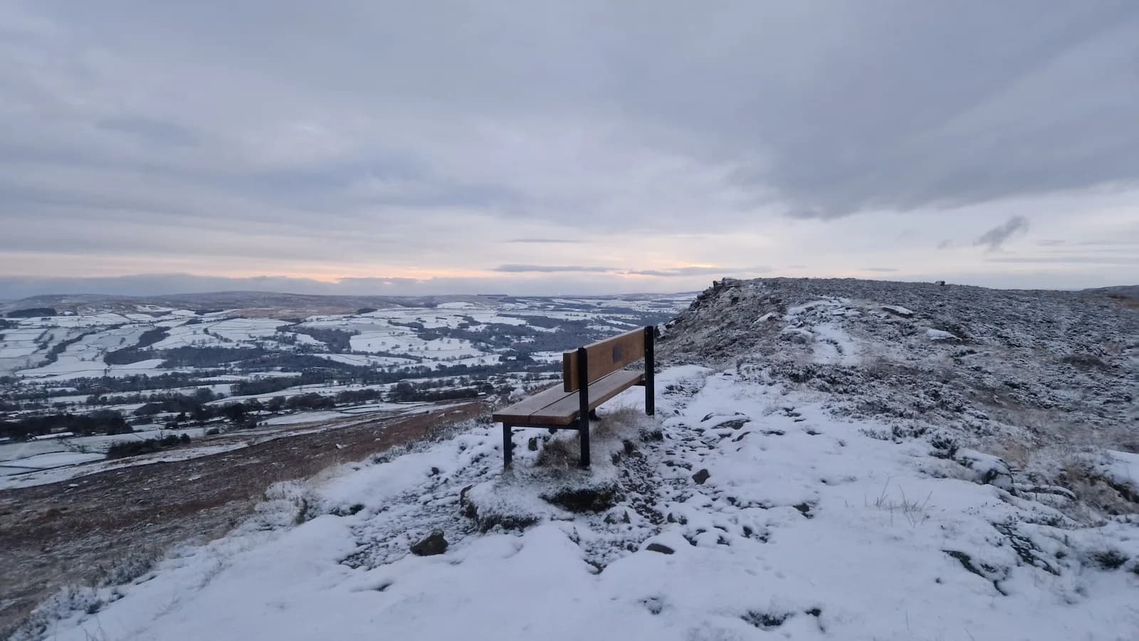 VERY HARD
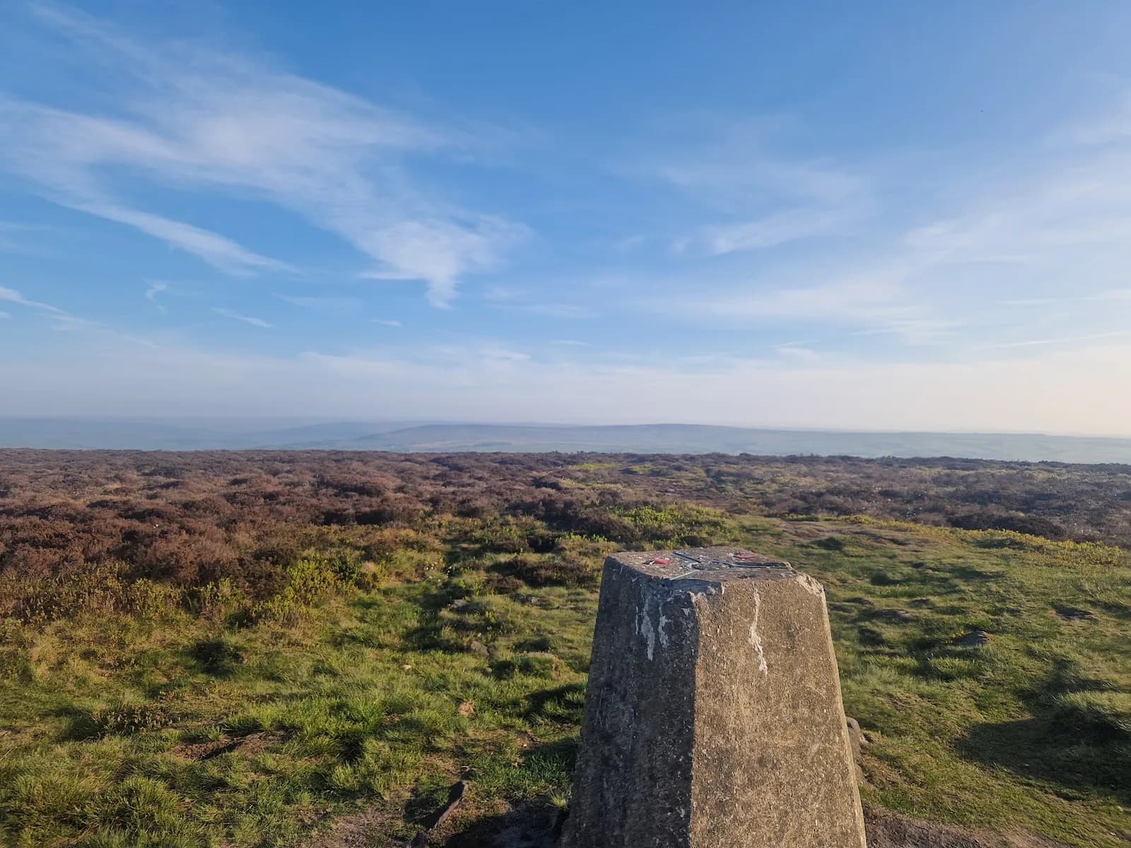 MODERATE
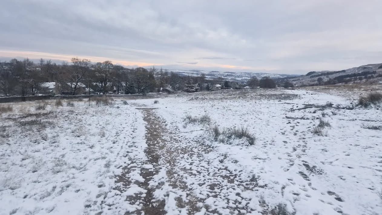 HARD
HARD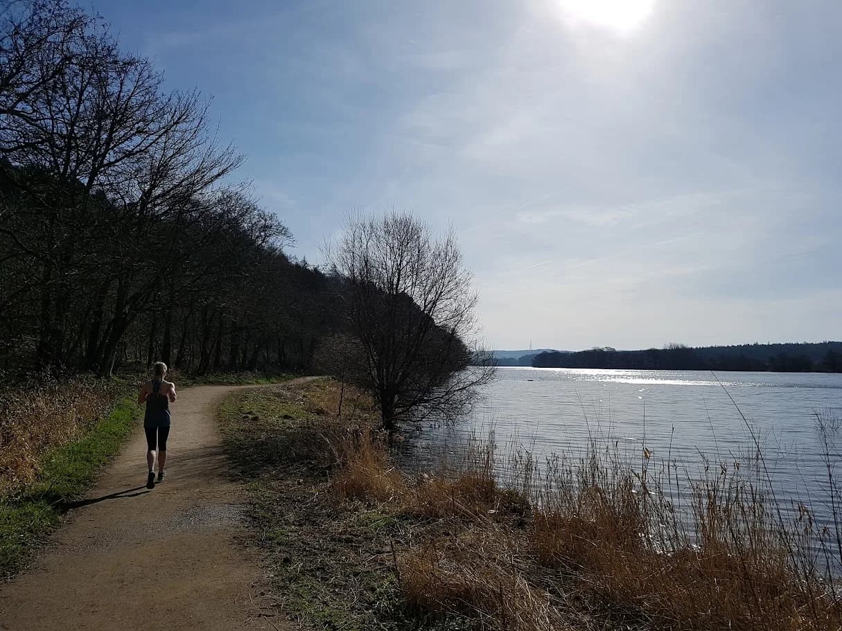 EASY
EASY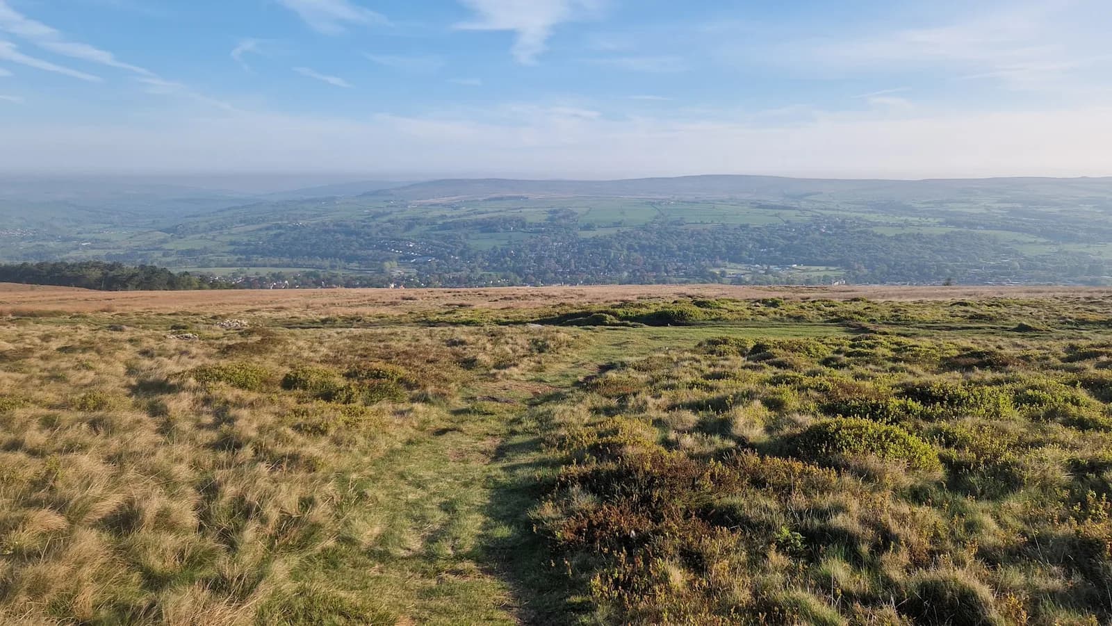 MODERATE
More from Punk Panther
Every Punk Panther race →Other races Punk Panther put on, soonest first.
24
Oct
2026

Nidderdale Way
Pateley Bridge, North Yorkshire · Punk Panther
The full Nidderdale Way at fifty-six miles, or a bite of it. Punk Panther's longest.
HARD TO EXPERT
Entries open
12
Dec
2026
Christmas Cracker
Otley, West Yorkshire · Punk Panther
A December loop out of Otley over Norwood Edge and the Washburn.
HARD TO VERY HARD
Entries open
2
Jan
2027
Green Gateways
Otley, West Yorkshire · Punk Panther
New Year's trail marathon through the green spaces north of Leeds.
HARD TO VERY HARD
Entries open
6
Feb
2027
Harrogate Hustle
Harrogate, North Yorkshire · Punk Panther
A wide loop of the spa town on good country paths. The kindest way into ultra distance in Yorkshire.
HARD TO VERY HARD
Entries open
13
Mar
2027
Welcome Way
Otley, West Yorkshire · Punk Panther
Over moors and through woods, by rivers and canals. Half marathon to fifty miles.
HARD TO EXPERT
Entries open
23
Mar
2027
Spring Headtorch Half
Swinsty Reservoir, North Yorkshire · Punk Panther
A midweek night race round two reservoirs. Head torch essential.
MODERATE TO HARD
Entries open
Other races near here
Airedale races →Races from other organisers starting within 30 km of Otley, West Yorkshire, nearest first.
13
Mar
2027
We Need To Talk About Chevin
Station Top, East Chevin Road, Otley (opposite Wharfedale Farmers Market) · Great Owl Running · 0 miles away
Otley Chevin fell races: 14km BM and 9km BS
Not open yet
£14–£16
5
Jun
2027
North Leeds Skyline
Station Top, East Chevin Road, Otley (opposite Wharfedale Farmers Market) · Great Owl Running · 0 miles away
50km, 25km and 16km trail races from Otley over the hills north of Leeds
Not open yet
6
Feb
2027
Rombalds Stride
Guiseley Junior School, West Yorkshire · Rombalds Stride · 2 miles away
Twenty-three miles from Guiseley over Airedale, Rombalds Moor and Otley Chevin in February, ten hours, checkpoints closing at two miles an hour. Limited entry, over-eighteens unless you are a Scout.
Entries open
£25–£27
14
Aug
2027
Ilkley Skyline
The Hermit Inn, Moor Rd, Burley Woodhead, Burley in Wharfedale, Ilkley · Great Owl Running · 3 miles away
Unmarked 35km fell round of the moors above Ilkley, plus a 21km half
Not open yet
£25
Mandatory kit
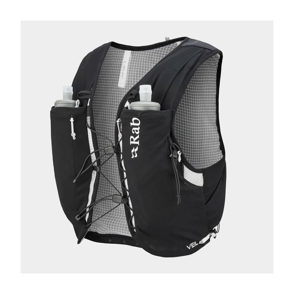
- A proper bag to carry it all in — Their words: not a carrier bag
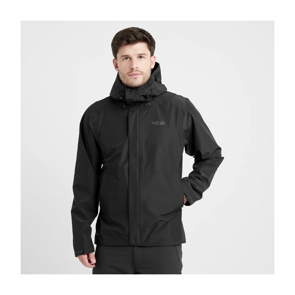
- Waterproof jacket with taped seams
- Enough fluid to reach the next checkpoint
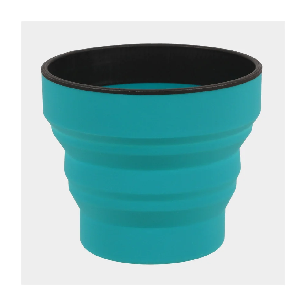
- A cup — There are none at the checkpoints
- Energy bar or other food
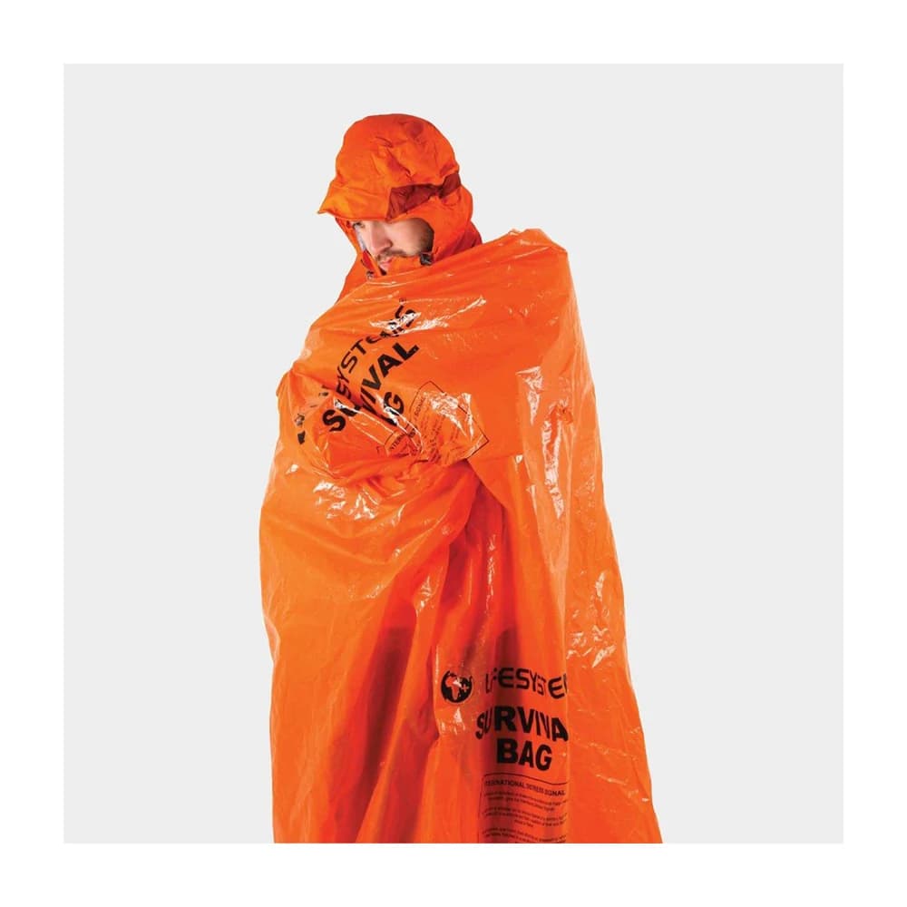
- Survival bag — A bag, not a sheet
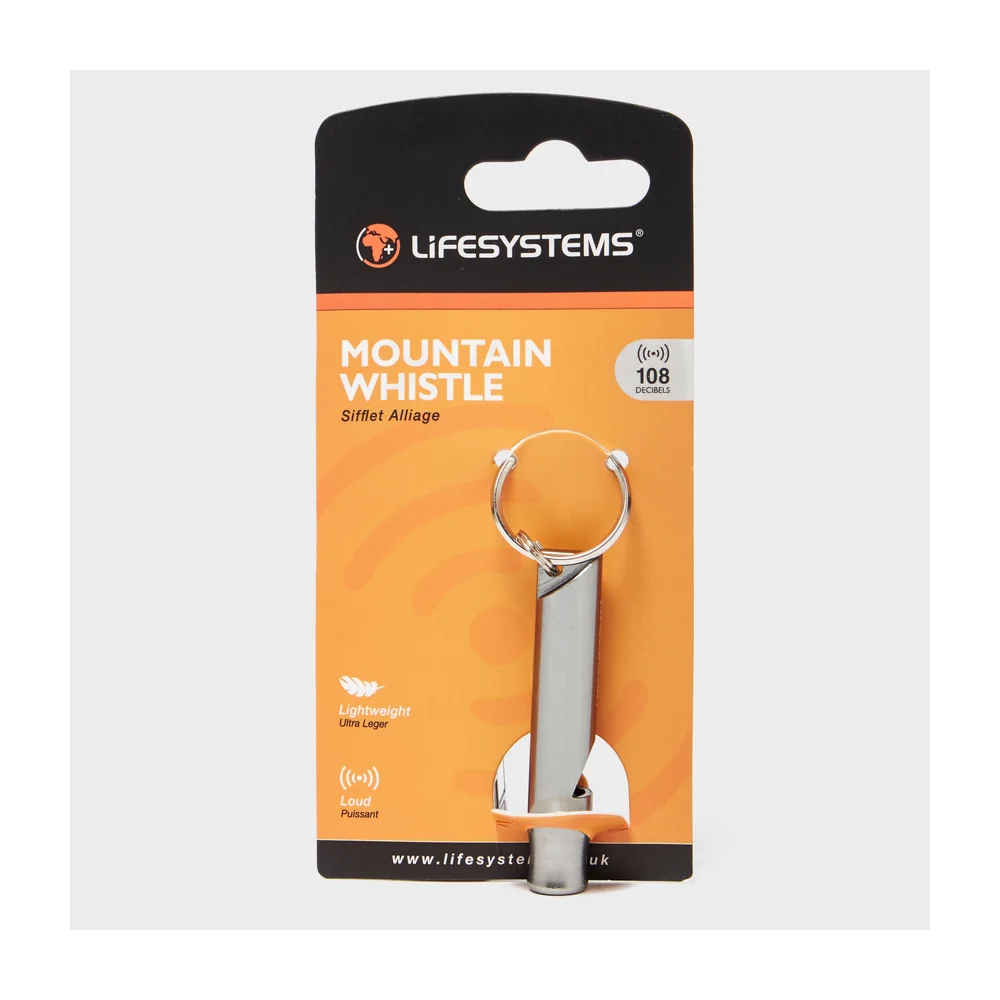
- Whistle
- Mobile phone, switched on, with the race director and medic numbers saved
- Tracker — Supplied by the organiser for ultra distances, worn at all times
- Hat or buff
- Gloves
- Personal first aid kit
- Printed map and route description — Sent by the organiser before the race
- Head torch — 35 Mile course only
Kit for this race
Picked against the list above. Check the organiser's final instructions before you buy anything.

Mandatory: Personal first aid kit
Lifesystems Light & Dry Micro First Aid Kit
Some links earn us a small commission at no extra cost to you — affiliate policy.
How to enter
Sat, 14 Nov 2026 · Entries open
Enter via SiEntries ↗Entries are handled by SiEntries, not by us. We take nothing for sending you there.
Add to your calendar · as an all-day entry, until the start time is confirmed
Common questions
- The Wharfedale Skyline offers 3 distances: 13 Mile (20.9 km), 20 Mile (32.2 km), 35 Mile (56.3 km).