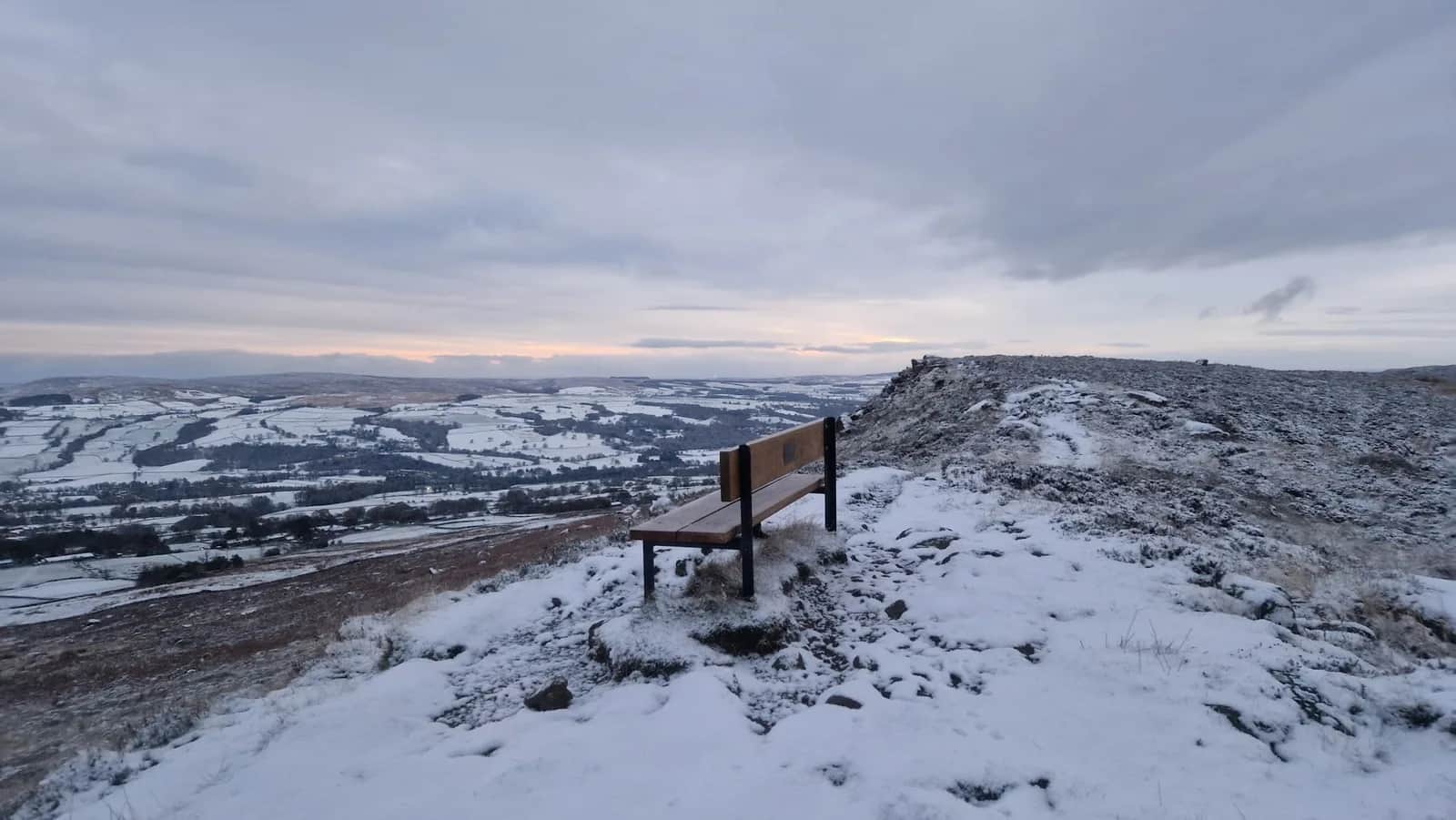
The Ilkley Skyline
Eleven kilometres of unbroken moor crest, then you cross the valley and run the skyline back the other way with your entire morning laid out in front of you. It is the biggest day available from an Ilkley train station.
No photos of this route yet. Sign in to add one
A 35.1km horseshoe of the whole Wharfe valley around Ilkley, running the full crest of Rombalds Moor from Burley Woodhead to Addingham High Moor, dropping to the river and climbing the other side over Beamsley Beacon, Round Hill and Lippersley Pike. 870m of climb.
Eleven kilometres of unbroken moor crest, then you cross the valley and run the skyline back the other way with your entire morning laid out in front of you. It is the biggest day available from an Ilkley train station.
The route
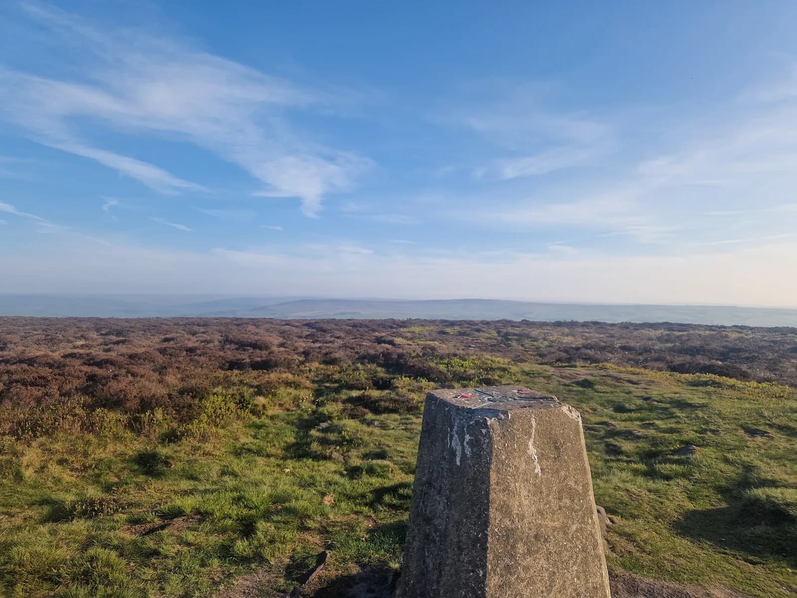
From the moor road above Burley Woodhead the route climbs straight onto Burley Moor and turns west along the crest. Inside the first six kilometres you pass the Great Skirtful of Stones, the Grubstones circle, the Twelve Apostles and the 402m Rombalds Moor trig, which is more Bronze Age archaeology than most routes manage in a full day. The crest keeps going west past the Thimble Stones, Cowper's Cross and the transmitter masts at Whetstone Gate, out onto Addingham High Moor around 10km. This is the part that catches people out: the Skyline never drops into Ilkley. It stays on the roof of Rombalds Moor for eleven kilometres.
Down and up again
At 12km the route falls off the western end of the moor and loses close to 300m to reach the Wharfe at about 14km. Then it climbs the far side. Beamsley Beacon at 18.3km is 393m, a Bronze Age cairn later used as a Napoleonic warning beacon, and it marks the southeastern corner of the Yorkshire Dales National Park. From the top the entire first half of your run is spread out across the valley.
The northern moors
The second high section runs east along the watershed. Round Hill at 20.9km is 407m and the high point of the day, then three kilometres of open heather bring you to Lippersley Pike at 23.4km, where a shooting butt is built into the summit cairn. These are working grouse moors and the ground is wetter and vaguer than anything on Rombalds. From there the route turns south, drops steadily off the moor towards Askwith, reaches Burley in Wharfedale and the river at 33km, and climbs the last two kilometres back to Burley Woodhead.
What you are in for
35.1km and 870m of climb, but the figure that matters is two: the number of valley crossings. You do all your climbing twice, and the second lot starts at 14km with 300m of it in one go. Carry everything. There is no water on the moor and nothing on the route between the start and the Wharfe.

Partner · affiliate policy
Two full valley crossings mean you climb everything twice, and the second 300m ascent starts at 14km when your legs have already done a moor traverse. The Denton Moor ground between Round Hill and Lippersley Pike is wet, open and short of features, and needs a map and compass in cloud. Denton, Askwith and Blubberhouses are driven grouse moors where access land can be closed for up to 28 days a year, so check the Natural England restrictions before travelling, particularly from 12 August. No water anywhere on the high ground.
Summits on this route
Safety on this route
- No signal? Text 999 — pre-register first: text register to 999
- Tell someone your route and expected return time before you head out
Leave No Trace
- Leave nothing but footprints, take nothing but memories.
- Please respect the countryside and all its inhabitants.
- Dogs on leads near livestock, and around ground-nesting birds from March to July.
- Gates as you find them — open or closed, leave it that way for the farmer and the next runner.
- Take it all home — wrappers, peel, tissue, the lot. It doesn't count as biodegradable if you can still see it.
- Stick to the path where the ground either side is wet, planted, or nesting habitat.
Common questions
- Most runners complete The Ilkley Skyline in 4 hours 30 minutes to 6 hours 5 minutes, depending on pace and conditions.
GPX checked
Distance, ascent and grade are calculated from the GPX file. Nobody has run this one for us yet, so treat the description as a plan rather than a report. How we check routes
About the author
Runner reports
Nobody's logged a run here yet. If you get out on it, a few lines about how it went helps the next person plan their day.



Start from a town: Ilkley 4.6 km
 MODERATE
 HARD
HARD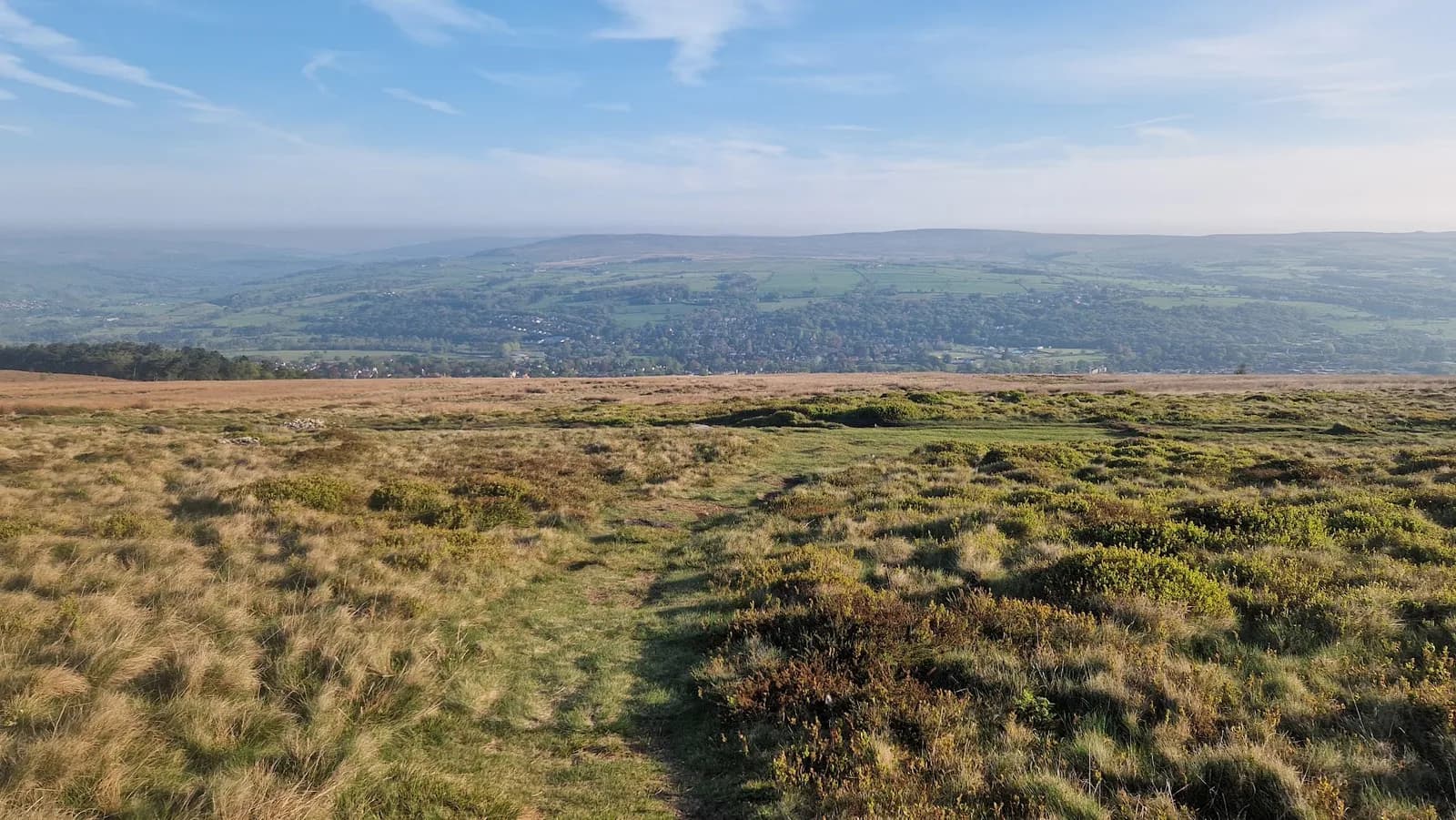 MODERATE
 HARD
HARD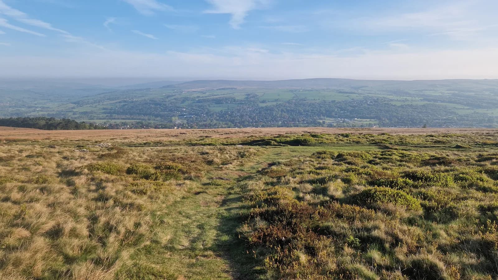 HARD
HARD HARD
HARDRaces on this ground
All South Pennines races →Races starting within 20 km of the The Ilkley Skyline start, nearest first. If you are entered for one, this route is the rehearsal.
14
Aug
2027
Ilkley Skyline
The Hermit Inn, Moor Rd, Burley Woodhead, Burley in Wharfedale, Ilkley · Great Owl Running · 0 miles away
Unmarked 35km fell round of the moors above Ilkley, plus a 21km half
Not open yet
£25
13
Mar
2027

Welcome Way
Otley, West Yorkshire · Punk Panther · 3 miles away
Over moors and through woods, by rivers and canals. Half marathon to fifty miles.
HARD TO EXPERT
Entries open
12
Dec
2026
Christmas Cracker
Otley, West Yorkshire · Punk Panther · 3 miles away
A December loop out of Otley over Norwood Edge and the Washburn.
HARD TO VERY HARD
Entries open
2
Jan
2027
Green Gateways
Otley, West Yorkshire · Punk Panther · 3 miles away
New Year's trail marathon through the green spaces north of Leeds.
HARD TO VERY HARD
Entries open