Ilkley, Rombalds Moor, Roman Road and Addingham
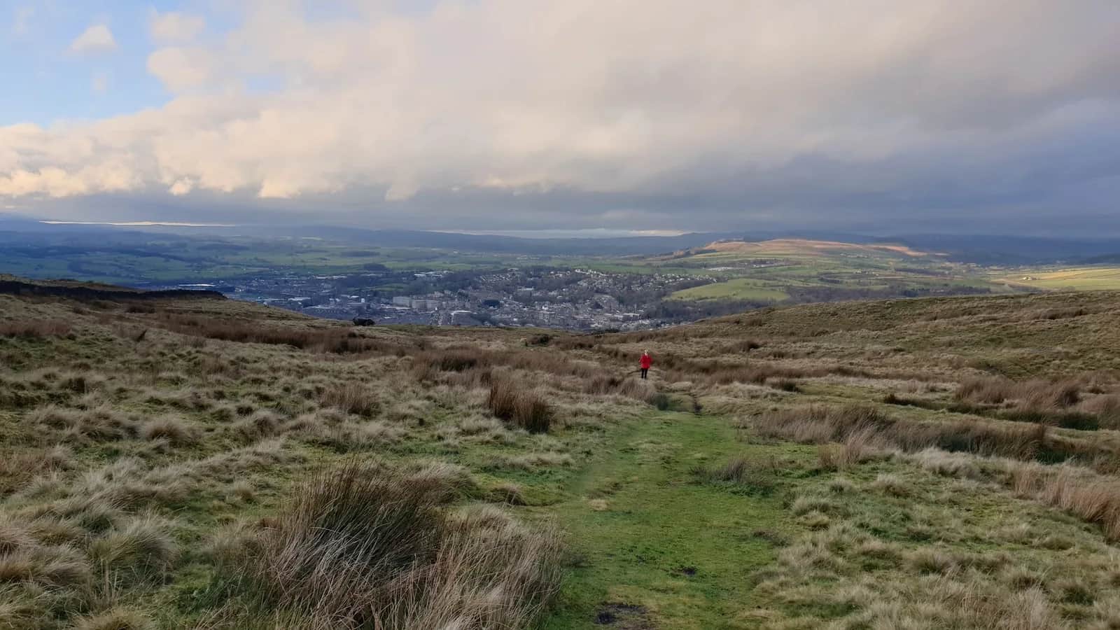
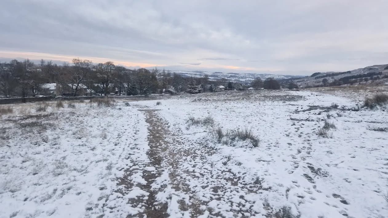
You climb out of pretty Ilkley onto the wide gritstone shoulder of Rombalds Moor, then swing back through the green lower Wharfe valley for a big, varied day close to home.
No photos of this route yet. Sign in to add one
Runnable start to finish — nothing here forces you to walk.
A 26.5km round from Ilkley onto the shoulder of Rombalds Moor and back through lower Wharfedale, with around 660m of climbing. Long, rolling running linking valley pasture with open gritstone moor.
You climb out of pretty Ilkley onto the wide gritstone shoulder of Rombalds Moor, then swing back through the green lower Wharfe valley for a big, varied day close to home.
The route
Start in Ilkley and make a 26.5km round that climbs onto the shoulder of Rombalds Moor before returning through the lower Wharfe valley. The route uses green roads like Parson's Lane on the moor edge, then drops back to the pasture and river paths of the dale. It is a long, rolling outing that links two very different landscapes, open moor and green valley, into a satisfying loop with no single hard climb.
The moor and the valley
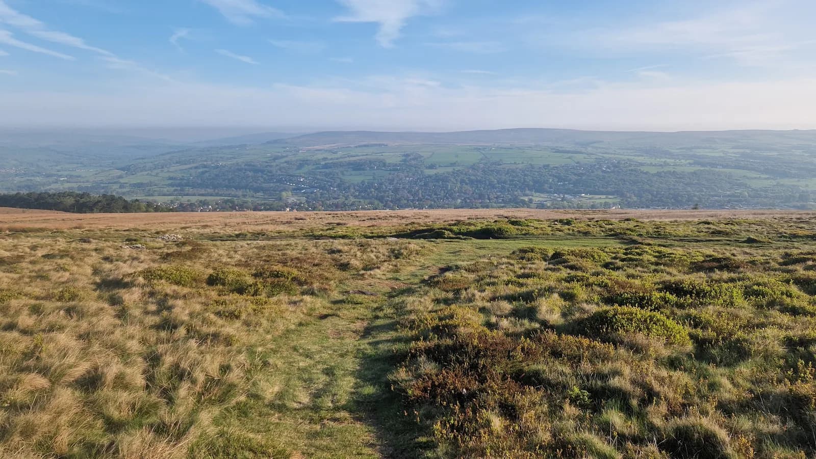
Rombalds Moor is the great gritstone upland between Wharfedale and Airedale, of which Ilkley Moor is the best-known part. Its shoulders carry old tracks, cup-and-ring carved stones and wide views over the two valleys. Addingham sits below in the lower Wharfe, a handsome village of old weavers' cottages and three churches, with the river running through. The route balances the exposure and space of the moor with the shelter and greenery of the valley, giving a real sense of the country where the Dales meet the Pennines.
Why it works
This is a route for a long, steady day on mixed ground. The valley sections are easy and runnable; the moor edge is rougher and boggy after rain, with navigation needed where the tracks fade in cloud. It suits a steady long run or a big training day close to home. The moor holds water and the low paths get muddy, so expect a mix underfoot. Addingham has shops, pubs and parking, and the loop links easily with Ilkley and Bolton Abbey if you want to extend or vary it. It is a rewarding way to link the moor and the dale that most local runners keep to weekends.

Partner · affiliate policy
The moor edge is exposed and boggy after rain with tracks that fade in cloud, so carry a map. The low valley paths hold mud and the Wharfe rises fast in spate. Grouse shooting affects parts of the moor between August and December.
Summits on this route
Safety on this route
- No signal? Text 999 — pre-register first: text register to 999
- Tell someone your route and expected return time before you head out
Leave No Trace
- Leave nothing but footprints, take nothing but memories.
- Please respect the countryside and all its inhabitants.
- Dogs on leads near livestock, and around ground-nesting birds from March to July.
- Gates as you find them — open or closed, leave it that way for the farmer and the next runner.
- Take it all home — wrappers, peel, tissue, the lot. It doesn't count as biodegradable if you can still see it.
- Stick to the path where the ground either side is wet, planted, or nesting habitat.
Common questions
- Most runners complete Ilkley, Rombalds Moor, Roman Road and Addingham in 3 hours 35 minutes to 4 hours 50 minutes, depending on pace and conditions.
Run by us· last checked July 2026
Jason Millward has run this route and written it up from the ground. How we check routes
About the author
Runner reports
Nobody's logged a run here yet. If you get out on it, a few lines about how it went helps the next person plan their day.



Start from a town: Ilkley 0.1 km · Skipton 13.4 km
 HARD
HARD MODERATE
 HARD
HARD MODERATE
 MODERATE
 HARD
HARDRaces on this ground
All South Pennines races →Races starting within 20 km of the Ilkley, Rombalds Moor, Roman Road and Addingham start, nearest first. If you are entered for one, this route is the rehearsal.
17
Jun
2027
Bingley Rock Up n' Run
Five Rise Locks, Beck Lane, Bingley · It's Grim Up North Running · 5 miles away
A midweek summer evening 10k on the Leeds & Liverpool towpath from Five Rise Locks. Register from six, pay on the night, jumble medal and hot food after.
Entries open
£17
7
Nov
2026
The Grim Reservoir Dogs
Swinsty & Fewston Reservoir car park, North Lane, near Otley · It's Grim Up North Running · 5 miles away
A run with your dog round Swinsty and Fewston reservoirs on good woodland trail, one 3.3-mile loop or two. A fun dog race, not run under canicross rules.
Entries open
£18–£29
7
Nov
2026
Swinsty & Fewston Lakeside Dash
Swinsty & Fewston Reservoir car park, North Lane, near Otley · It's Grim Up North Running · 5 miles away
The 6.7-mile loop of Swinsty and Fewston reservoirs on well-kept trail, run once, twice, three or four times for the half, the twenty and the marathon. Everything starts at nine.
Entries open
£29–£43
7
Nov
2026
Moonlight Meander
Swinsty & Fewston Reservoir car park, North Lane, near Otley · It's Grim Up North Running · 5 miles away
Swinsty and Fewston in the pitch dark: one or two laps of the 3.3-mile woodland loop by head torch, fairy lights and whatever else you bring.
Entries open
£17–£29