Punk Panther Welcome Way
Over moors and through woods, by rivers and canals. Half marathon to fifty miles.
| Distance | Ascent | Per km |
|---|---|---|
| 50 Mile | 1,873 m | 23 m |
| 34 Mile | 1,320 m | 24 m |
| 20 Mile | 729 m | 21 m |
| 13 Mile | 417 m | 19 m |
Nobody has reviewed this one yet
No reviews of the Welcome Way, and nothing on what people wore. Both are things no organiser publishes and every runner wants before they enter — how it actually went, and what was on your feet.
Ran it? Write the first reviewRunning it soon? Connect Strava and we will ask you about it the day you finish, so you do not have to remember to come back.
Pick your distance
HARD
TRP grade · E3·T3
3 checkpoints
Start time not confirmed yet — check with the organiser.
This file is from a previous running and the course may have changed since. If you are navigating with it, get the current version from Punk Panther first.
What you’re in for
Over moors and through woods, by rivers and canals: the strapline is the organiser's and it is accurate. The race largely follows the Welcome Way, a circular trail out of Otley that climbs Otley Chevin, crosses Burley and Baildon moors and drops to the Aire and the Leeds–Liverpool Canal. The two ultra distances add a loop around Bingley and Shipley Glen. Four distances on the same March morning. The 13 Mile is 22.5km with 417m of climb, the 20 Mile 34.5km and 729m, the 34 Mile 55.1km and 1,320m, and the 50 Mile 80.8km with 1,873m. It is a typical Punk Panther set-up: enter above your comfort level knowing the shorter finish is on the same course. On the 50, miss the Shipley Glen checkpoint by 13:00 and you are dropped to the 34.
Terrain and trail
A genuine mix. Moorland paths and gritstone over the Chevin, Burley Moor and Baildon Moor; woodland tracks down to the valley; canal towpath and riverside along the Aire; farmland stitching it together. March means the moor is wet and the towpath is fast, and shoe choice is a compromise whichever way you go. Every distance except the 50 Mile is taped and flagged the week before, and much of the route follows the Welcome Way's own waymarks. The tape is there to confirm you are right, not to replace the route description. The 50 Mile is unmarked and finishes by head torch.

Partner · affiliate policy
Aid stations
Water, coke, energy bars and crisps at every checkpoint. Five checkpoints: Denton, Burley-in-Wharfedale, Shipley Glen, The Chevin and Arthington Village Hall. Denton and Burley are on all four distances; Shipley Glen and The Chevin are on the 34 and 50; Arthington is 50 Mile only, and is the one checkpoint where a support crew is allowed.
Cut-offs
No overall time limit is published. The cut-offs are the checkpoint closing times — arrive after one closes and you are retired. Course closes 23:00. Checkpoints close: Denton 10:30, Burley-in-Wharfedale 12:00, Shipley Glen 15:30, The Chevin 18:00, Arthington 20:00.
Train for it: routes near the start
Routes starting within 20 km of Otley, West Yorkshire, nearest first. Each one has a free GPX file and a TRP grade, so you can rehearse the ground before race day.
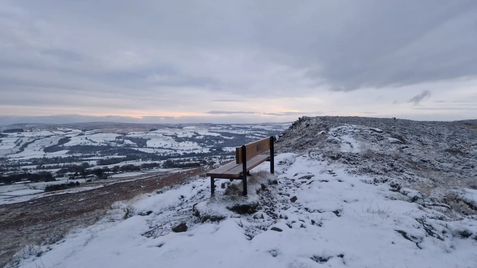 VERY HARD
 HARD
HARD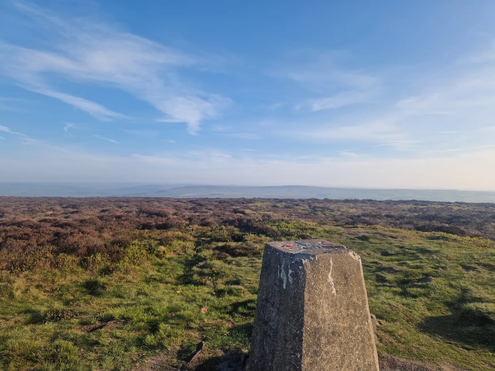 MODERATE
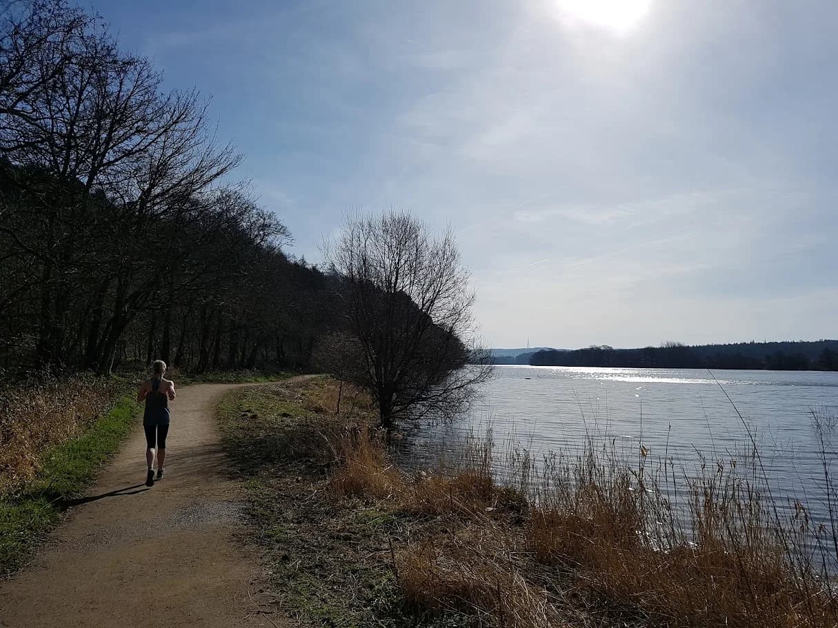 EASY
EASY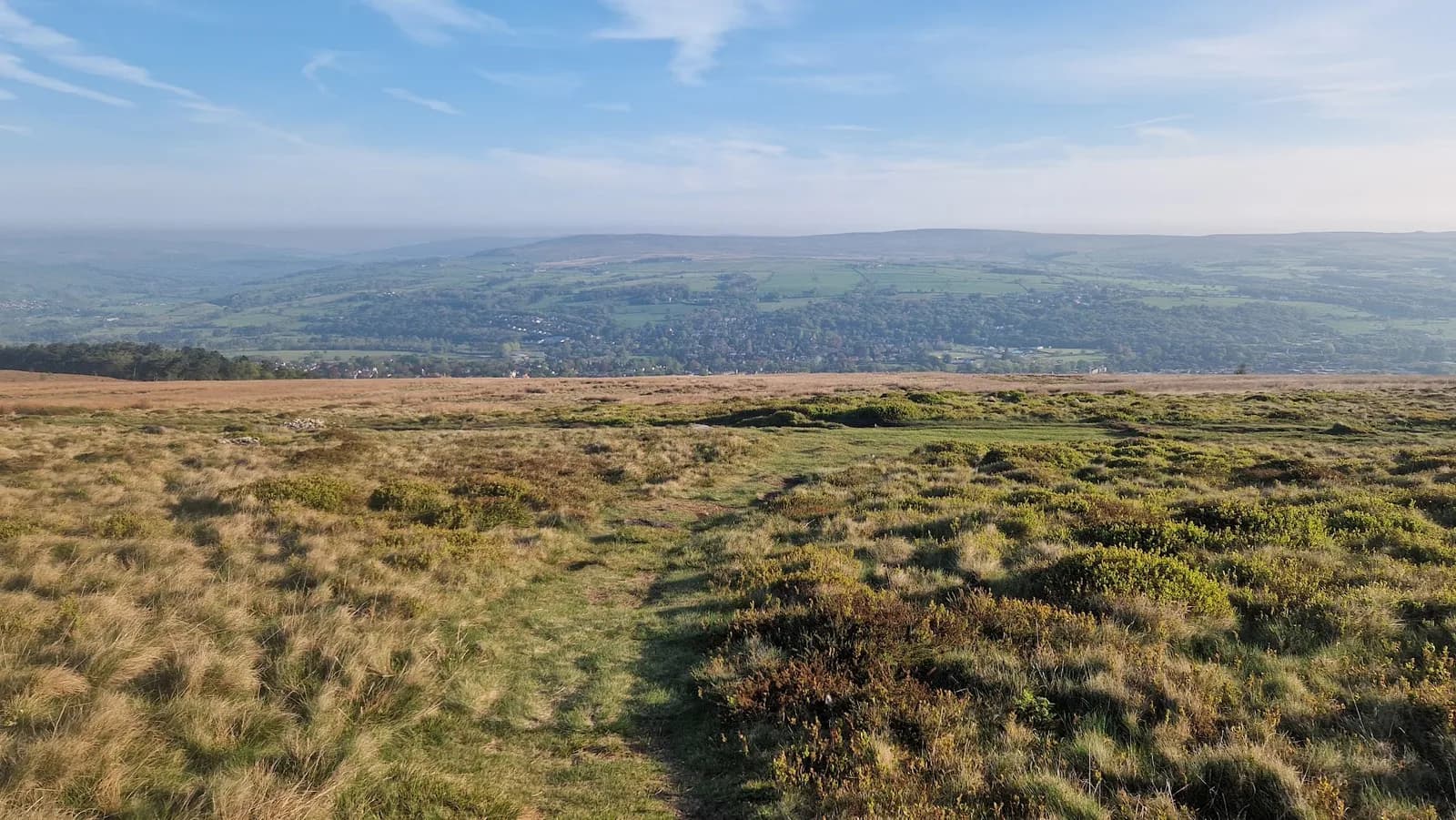 MODERATE
Mandatory kit
- A proper bag to carry it all in — Their words: not a carrier bag
- Waterproof jacket with taped seams
- Enough fluid to reach the next checkpoint
- A cup — There are none at the checkpoints
- Energy bar or other food
- Survival bag — A bag, not a sheet
- Whistle
- Mobile phone, switched on, with the race director and medic numbers saved
- Tracker — Supplied by the organiser for ultra distances, worn at all times
- Hat or buff
- Gloves
- Personal first aid kit
- Printed map and route description — Sent by the organiser before the race
- Head torch — Ultra distances only
Kit for this race
Picked against the list above. Check the organiser's final instructions before you buy anything.
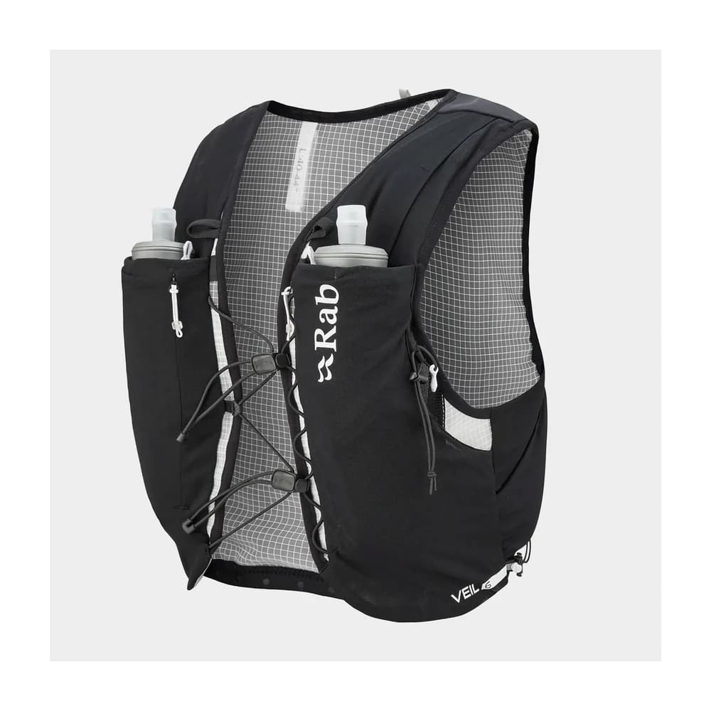
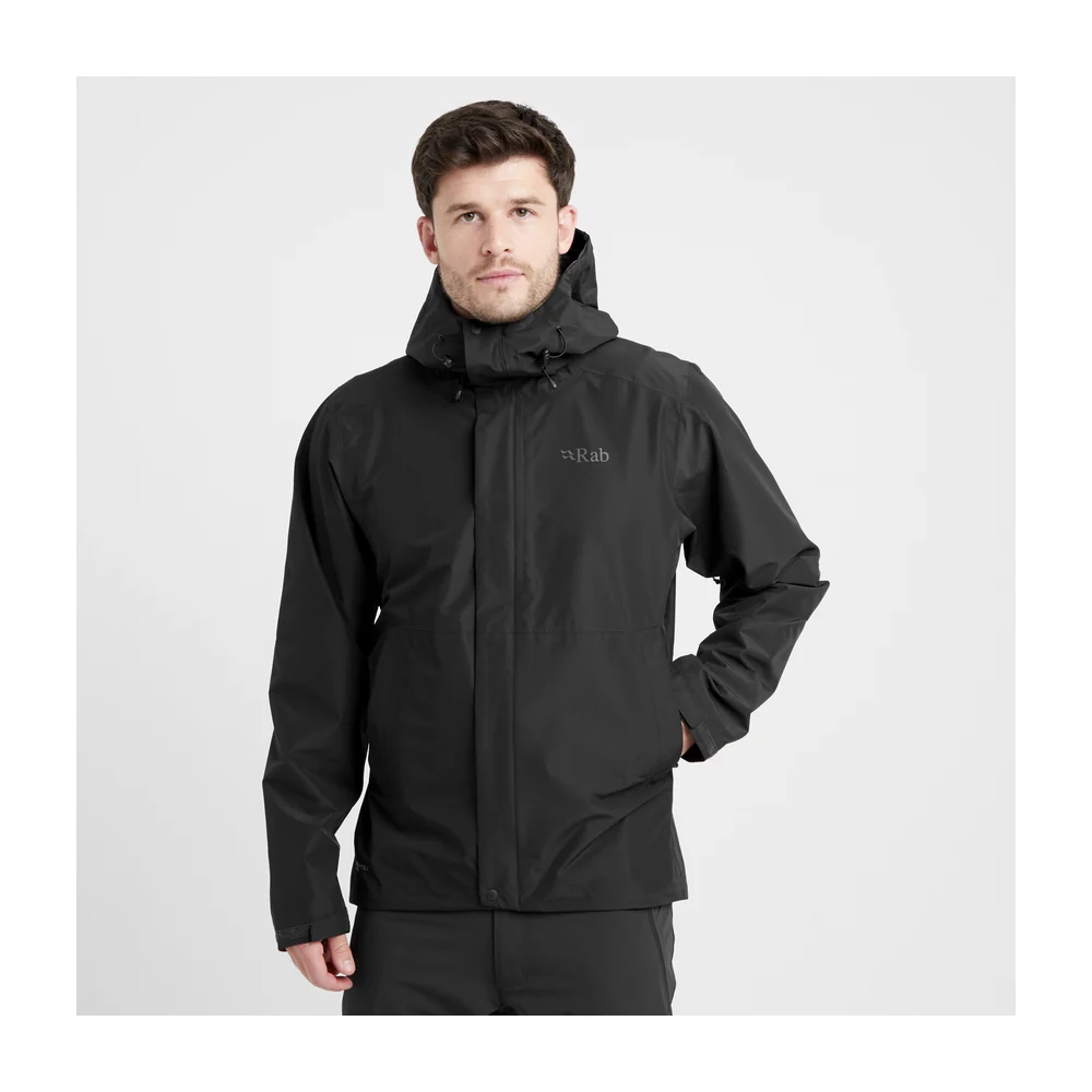
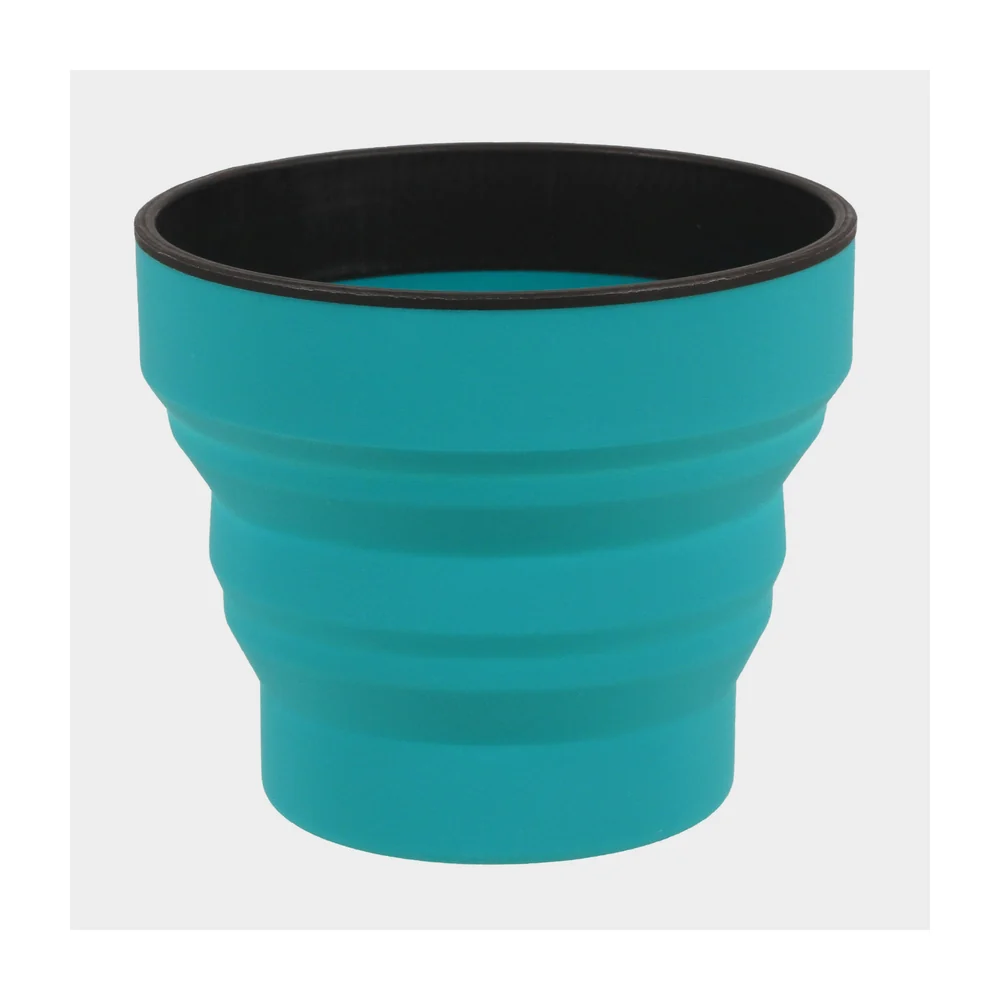
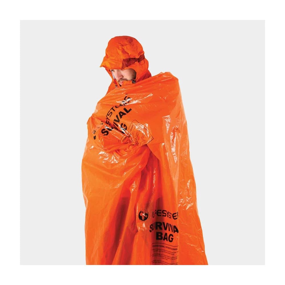
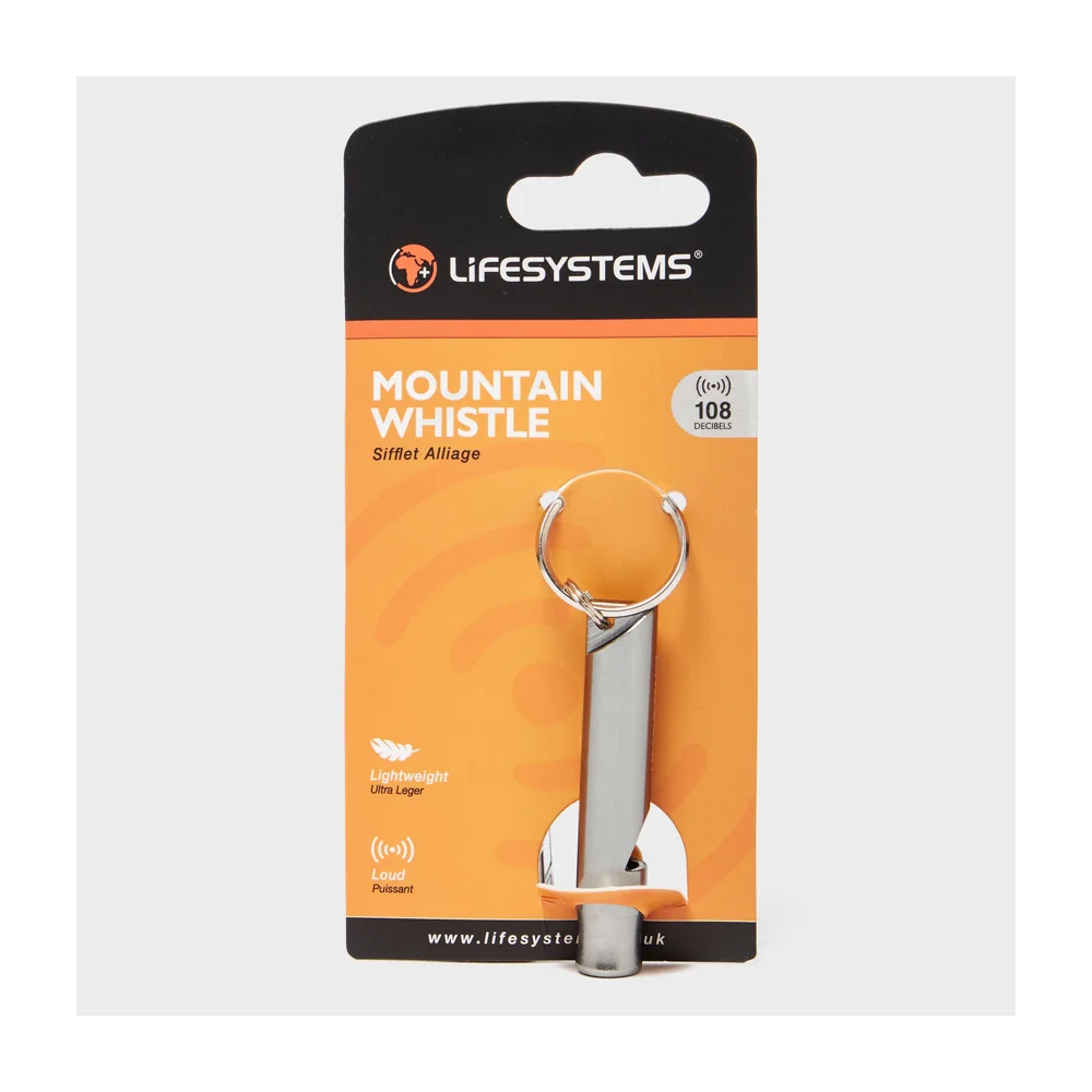
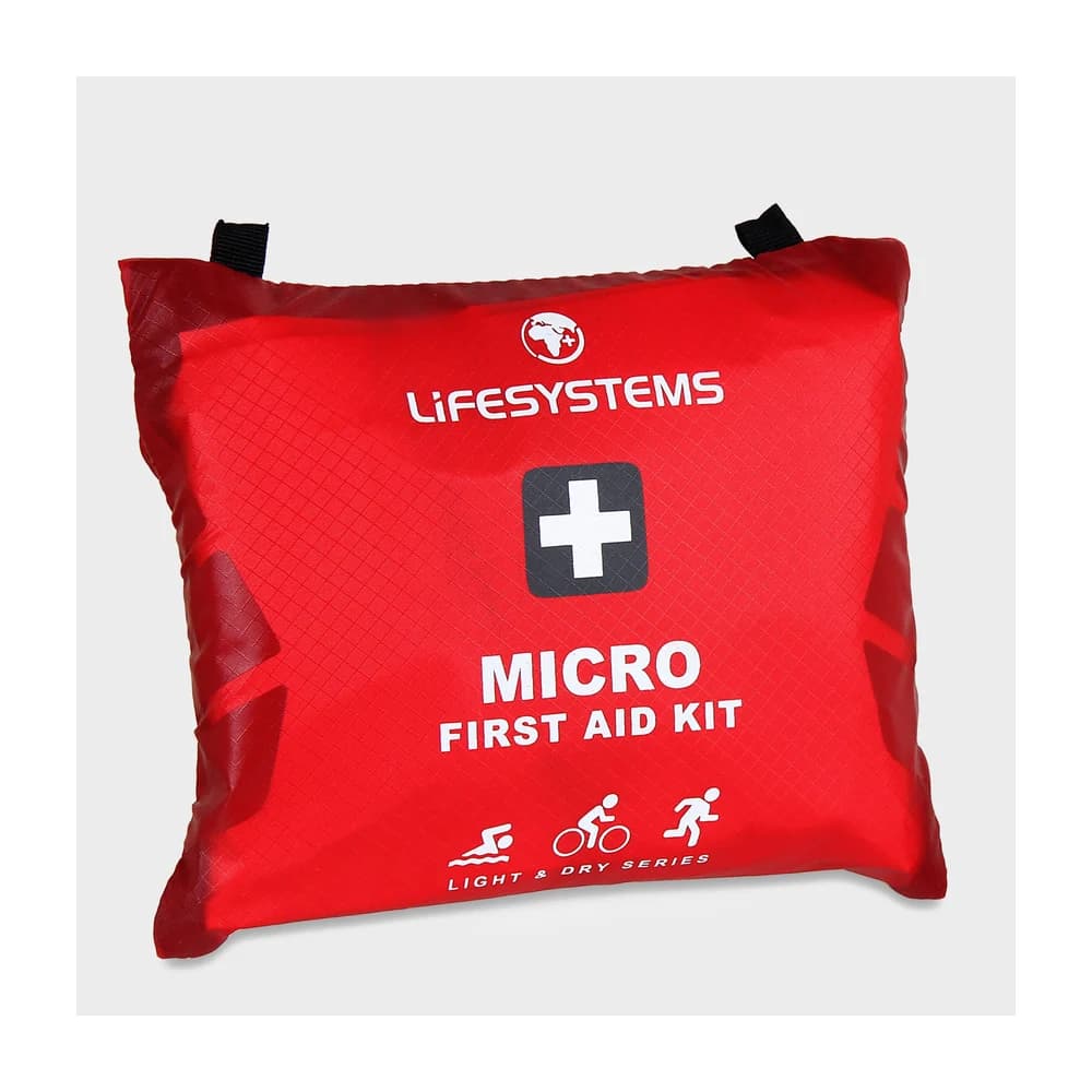
Mandatory: Personal first aid kit
Lifesystems Light & Dry Micro First Aid Kit
Some links earn us a small commission at no extra cost to you — affiliate policy.
How to enter
Sat, 13 Mar 2027 · Entries open
Enter via SiEntries ↗Entries are handled by SiEntries, not by us. We take nothing for sending you there.
Add to your calendar · as an all-day entry, until the start time is confirmed
Common questions
- The Welcome Way offers 4 distances: 13 Mile (20.9 km), 20 Mile (32.2 km), 34 Mile (54.7 km), 50 Mile (80.5 km).