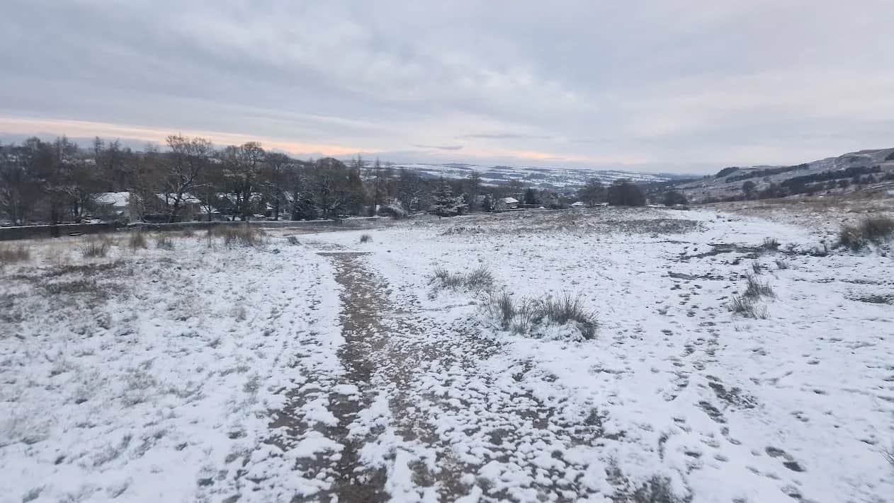
Burley Moor Stone Circles from the Cow and Calf
Four thousand years of prehistory in one loop. Rombalds Moor carries over 400 cup-and-ring marked stones, and this route strings the best of them together before dropping you onto two kilometres of Burley Moor that almost nobody runs.
Effort: Moderate distance, manageable climb
Underfoot: Open fell or rough terrain
E2·T3 — how we grade routesNo photos of this route yet. Sign in to add one
Mostly on runnable ground, but most runners still walk the steepest climbs.
An 11.6km circuit from the Cow and Calf linking the Badger Stone, the 402m Rombalds Moor trig, the Twelve Apostles and the Grubstones circle, with a long open crossing of Burley Moor before the run back along the edge.
Four thousand years of prehistory in one loop. Rombalds Moor carries over 400 cup-and-ring marked stones, and this route strings the best of them together before dropping you onto two kilometres of Burley Moor that almost nobody runs.
The route
From the Cow and Calf the route heads west below the crags, above White Wells at 1.9km, then climbs the western flank of the moor towards Keighley Gate. At 4.2km it passes the Badger Stone, a twelve-foot gritstone block carved with around a hundred cups, ten rings and a half-swastika motif, sitting beside the line of the old Rombald's Way trackway. It is the best piece of rock art you will run past in Yorkshire.
Over the top
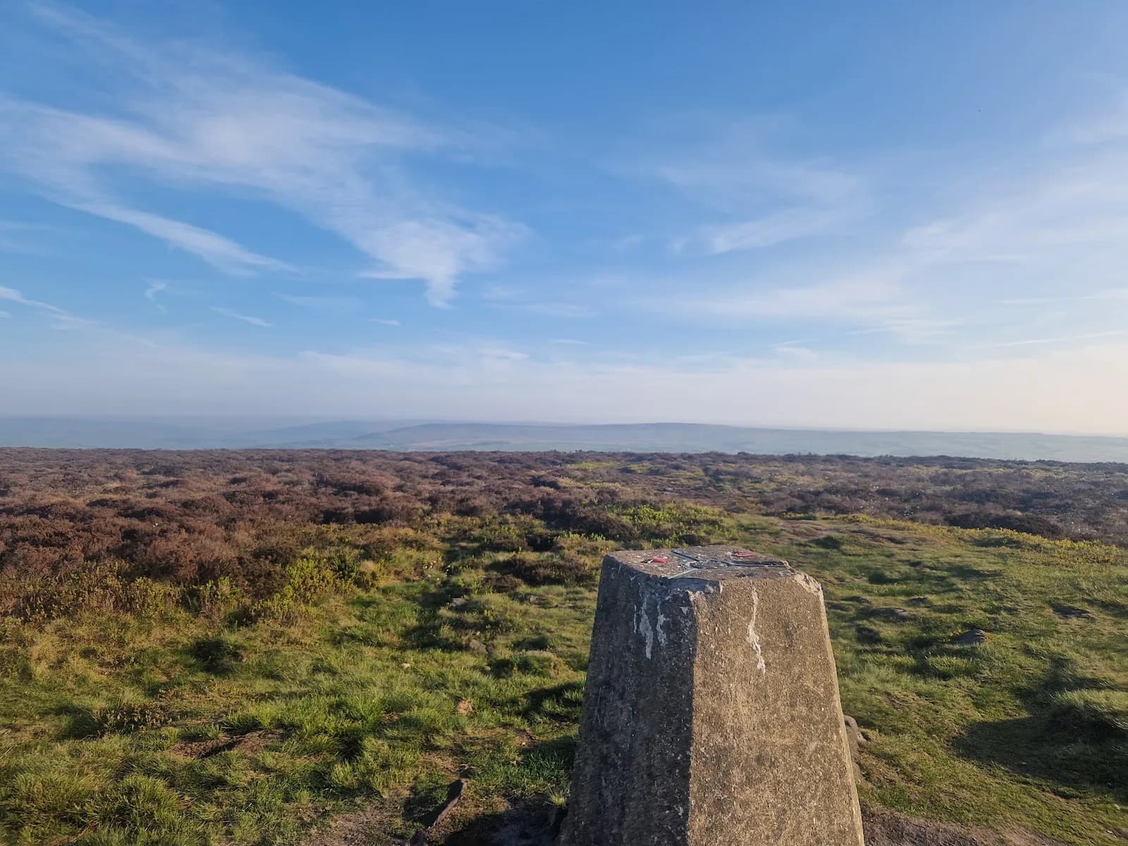
The trig at 402m comes at 5.5km, standing on a burial cairn at the highest point of the massif. From there the route runs east across the plateau to the Lanshaw Lad boundary stone and the Twelve Apostles stone circle at 6.8km, then keeps going east onto ground most Ilkley runners never see.
Burley Moor
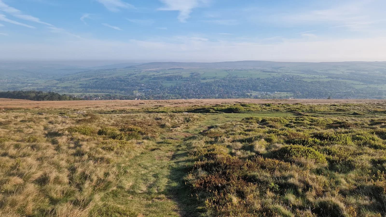
The Grubstones at 7.9km is an embanked ring cairn about ten metres across with twenty stones still standing; a cremation burial and a flint spearhead came out of it in the 1840s. Past it the moor gets wetter and the paths get fainter as the route drops east to Coldstone Beck at 9.5km before turning back northwest. This is the section that decides the run. Blanket bog, deep heather, and very little to steer by once the cloud is down. It is also the reason this loop is graded harder than its 350m of climb suggests.
Getting home
The last two kilometres run back along the moor edge above Ilkley past Haystack Rock, with the whole of Wharfedale opening out to the north and the Cow and Calf coming into view early enough to hurt. If Burley Moor is more than you want today, the 7.7km loop from the same car park gets the trig and the Apostles and turns for home at Gill Head.

Partner · affiliate policy
The Burley Moor section between the Grubstones and Coldstone Beck is blanket bog with faint paths and nothing to navigate by in poor visibility, and it is a long way from a road. Ilkley Moor itself stopped hosting grouse shooting in April 2018, but the neighbouring moors still shoot between 12 August and December, so check access restrictions if you extend east. No fires of any kind: the moor burned badly in 2006 and again in 2019.
Summits on this route
Safety on this route
- No signal? Text 999 — pre-register first: text register to 999
- Tell someone your route and expected return time before you head out
Leave No Trace
- Leave nothing but footprints, take nothing but memories.
- Please respect the countryside and all its inhabitants.
- Dogs on leads near livestock, and around ground-nesting birds from March to July.
- Gates as you find them — open or closed, leave it that way for the farmer and the next runner.
- Take it all home — wrappers, peel, tissue, the lot. It doesn't count as biodegradable if you can still see it.
- Stick to the path where the ground either side is wet, planted, or nesting habitat.
Common questions
- Most runners complete Burley Moor Stone Circles from the Cow and Calf in 1 hour 30 minutes to 2 hours 5 minutes, depending on pace and conditions.
GPX checked
Distance, ascent and grade are calculated from the GPX file. Nobody has run this one for us yet, so treat the description as a plan rather than a report. How we check routes
About the author
Runner reports
Nobody's logged a run here yet. If you get out on it, a few lines about how it went helps the next person plan their day.



Start from a town: Ilkley 1.7 km
 MODERATE
 MODERATE
 HARD
HARD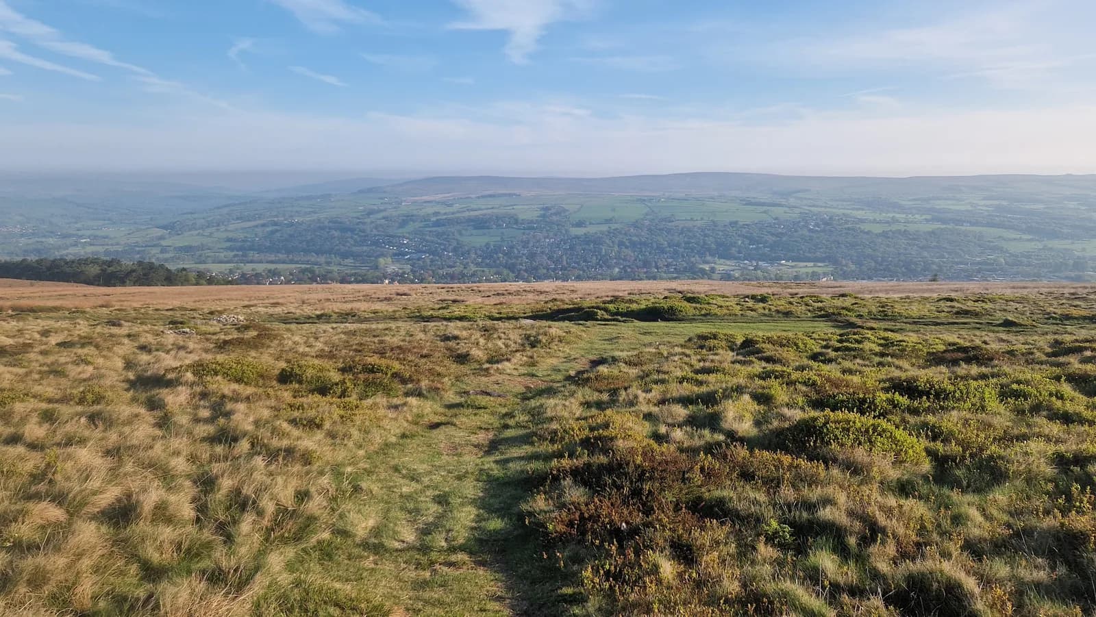 HARD
HARD MODERATE
 HARD
HARDRaces on this ground
All South Pennines races →Races starting within 20 km of the Burley Moor Stone Circles from the Cow and Calf start, nearest first. If you are entered for one, this route is the rehearsal.
14
Aug
2027
Ilkley Skyline
The Hermit Inn, Moor Rd, Burley Woodhead, Burley in Wharfedale, Ilkley · Great Owl Running · 2 miles away
Unmarked 35km fell round of the moors above Ilkley, plus a 21km half
Not open yet
£25
13
Mar
2027

Welcome Way
Otley, West Yorkshire · Punk Panther · 4 miles away
Over moors and through woods, by rivers and canals. Half marathon to fifty miles.
HARD TO EXPERT
Entries open
12
Dec
2026
Christmas Cracker
Otley, West Yorkshire · Punk Panther · 4 miles away
A December loop out of Otley over Norwood Edge and the Washburn.
HARD TO VERY HARD
Entries open
17
Jun
2027
Bingley Rock Up n' Run
Five Rise Locks, Beck Lane, Bingley · It's Grim Up North Running · 4 miles away
A midweek summer evening 10k on the Leeds & Liverpool towpath from Five Rise Locks. Register from six, pay on the night, jumble medal and hot food after.
Entries open
£17